
Matura Bay, Trinidad tide times
Matura Bay, Trinidad tide forecast — heights relative to MSL.
Today's tide times for Matura Bay, Trinidad
Tide times at Matura Bay, Trinidad on Saturday, 4 July 2026: first high tide at 05:12am, first low tide at 11:42am, second high tide at 06:00pm, second low tide at 11:52pm. Sunrise 05:47am, sunset 06:30pm.
Tide chart for Matura Bay, Trinidad
24-hour cosine-interpolated curve around the present moment. Heights relative to MSL. Predictions: Predictions: Open-Meteo Marine (MeteoFrance SMOC, 0.08° grid).
Sun, moon and conditions on Sat 04 Jul
Snapshot at build time — refreshes daily. Sea state from Open-Meteo Marine.
Highs and lows next 7 days
Every predicted high and low for the next week, with the daily tidal coefficient (0–120; higher = bigger swing, > 95 means stronger currents).
Other spots nearby
The three closest curated TideTurtle locations to Matura Bay, Trinidad, measured by great-circle distance.
Today's solunar windows
Solunar tradition: major periods are the ≈3h windows around moon transit and opposition; minor are ≈2h around moonrise and moonset. Pair with the local tide stage and wind for the best read.
Cycle dates near Matura Bay, Trinidad
Last spring tide on Fri 03 Jul (range 0.9m). Next spring tide on Thu 09 Jul (range 0.8m). Next neap on Mon 06 Jul.
Spring tides cluster around new and full moons (biggest swings). Neap tides land on quarter moons (smallest swings). See the spring tide and neap tide glossary entries for the why.
About tides at Matura Bay, Trinidad
A short guide to the coastline at Matura Bay, Trinidad — geography, sea state, and what the tide is actually doing under your feet.
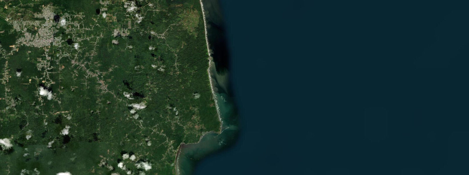
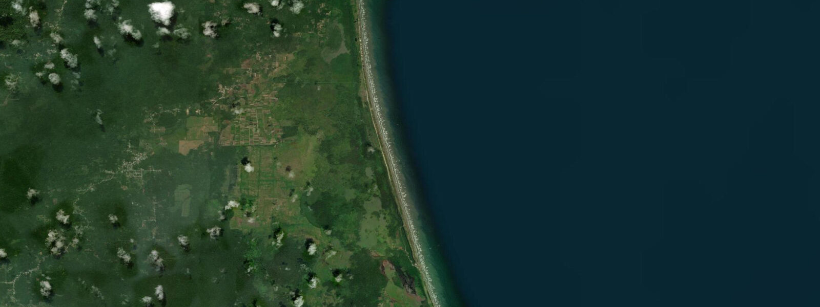
Matura Bay lies on Trinidad's north Atlantic coast, roughly halfway between Valencia and Toco, where the Matura River meets the sea across a broad sand beach backed by coconut palms and the first trees of the Matura National Forest. The beach runs for approximately 3.5 kilometres, broad and flat, and the Matura River mouth shifts its position seasonally — moving east or west along the beach face depending on the wet and dry season flow. The surrounding forest is the southern buffer of the Northern Range, and the contrast between the dense tropical canopy visible from the beach and the open Atlantic is one of the distinctive visual experiences of this coast.
The tidal regime at Matura is Atlantic-influenced mixed semidiurnal, with a spring range of roughly 1.0 to 1.4 metres — the largest tidal variation on Trinidad's coastline, driven by the full Atlantic signal reaching this exposed north-facing shore. The width of the beach changes noticeably between low and high water; on a spring low the sand flat extends well beyond the normal high-water mark, exposing firm damp sand useful for walking and shore fishing. On a spring high, the sea approaches to within metres of the coconut palms above the beach berm.
Matura is one of the most significant leatherback sea turtle nesting beaches in the Caribbean. The Nature Seekers community organisation, established in 1990, patrols and monitors the beach nightly from March through September. In peak season — May through July — nesting counts at Matura regularly exceed 100 turtles per night, placing it alongside Grande Rivière as one of the globally important leatherback nesting sites. Nature Seekers guides control all night beach access during nesting season; independent walking is prohibited and actively enforced. The organisation also runs a hatchery programme for eggs laid in vulnerable positions.
The daytime beach at Matura is accessible outside nesting season for general beach use and fishing. The Matura River mouth area, particularly in the dry season when the river is lower and clearer, is a productive area for shore casting and hand-line fishing from the beach. Carite (Spanish mackerel), snapper, and tarpon work the deeper channel where the river current meets the tide. The tarpon — known locally as cuffum — stack in the river mouth pool at certain tide states, particularly on the incoming flood.
In the early morning, before the trade wind fills, the beach is an excellent birding location. The forest behind supports a high diversity of Trinidad endemics and forest species that can be observed from the beach edge without entering the tree line. Howler monkeys are audible from the beach in the pre-dawn, and scarlet ibis occasionally fly over the coast en route between their freshwater feeding roosts and the Gulf of Paria.
The road to Matura from Valencia is paved but narrow; parking is limited to the road shoulder near the beach access path. There is no dedicated infrastructure — no lifeguard, no kiosk, no facilities. Self-sufficiency is the operating assumption for any visit.
Tide predictions for Matura Bay come from Open-Meteo Marine, a global gridded ocean model. Accuracy is typically within plus or minus 45 minutes on timing and 0.2 to 0.3 metres on height. The Atlantic coast exposure means actual water level is regularly affected by Atlantic swell setup beyond the predicted astronomical tide.
The road infrastructure serving Matura Bay is one of the factors that keeps it less visited than it might otherwise be. The Valencia route is the most reliable; the coastal road beyond Toco (proceeding east from Grande Rivière) is often closed by landslips during the wet season. The combination of geographic remoteness and the night-access restrictions during nesting season means Matura rewards advance planning rather than spontaneous visits. The Nature Seekers organisation welcomes visitors who engage with the local guide programme; the income supports both the conservation work and the community.
Tide questions about Matura Bay, Trinidad
Quick answers to the most common questions about tide times, range, and water access at Matura Bay, Trinidad.
How do I arrange turtle watching at Matura Bay?
All turtle watching at Matura Bay is managed by Nature Seekers, the community organisation that has patrolled and monitored the beach since 1990. Independent night access to the beach during nesting season from March through September is prohibited. Contact Nature Seekers directly to book a guided turtle watching tour; tours typically begin at 21:00, last two to three hours, and are led by trained community guides who locate nesting females and control photography conditions. Booking in advance is essential during peak season in May through July when demand is high. The organisation's office is in the Matura village, approximately 1 kilometre from the beach.
What is the tide range at Matura Bay?
Matura Bay faces the open Atlantic and sees one of Trinidad's larger tidal ranges: spring range roughly 1.0 to 1.4 metres, mixed semidiurnal pattern. This is considerably larger than the Gulf of Paria's west coast range, which the western land mass shelters from the Atlantic signal. The wide, flat beach at Matura changes noticeably between tide states — on a spring low the dry sand extends well beyond the normal high-water berm. Neap range compresses to around 0.7 metres. Tide predictions come from Open-Meteo Marine — accuracy within plus or minus 45 minutes on timing and 0.2 to 0.3 metres on height.
Is Matura Bay good for fishing?
Yes. The Matura River mouth area is a productive shore fishing location, particularly in the dry season (January through May) when river clarity is better. Tarpon — known locally as cuffum — stack in the river mouth pool on the incoming flood tide and respond to live mullet or large artificial lures. Carite (Spanish mackerel) and various snapper species work the beach face on the same flood. Shore casting from the beach flanking the river mouth is the primary technique. There are no facilities at the beach, so bring all tackle. Early morning — first light on a flooding tide — is consistently the most productive window.
When is the best time of year to visit Matura Bay?
For turtle watching, the season runs March through September, peaking in May through July when nesting counts are highest. For beach use, fishing, and general visiting, the dry season from January through May offers the most reliable weather and clearest water conditions. The wet season from June through November brings heavy rainfall from the Northern Range that increases river turbidity and makes the coastal road to Matura occasionally impassable after serious downpours. October through December is also the Atlantic swell season, when the north Atlantic trade winds are strongest and the shore break is most energetic.
Can I drive to Matura Bay?
Yes. Matura Bay is accessible by paved road from Valencia, approximately 20 kilometres from Arima on the Eastern Main Road. The road is narrow from Valencia to the coast and follows the Matura River valley through the forest. Parking is on the road shoulder near the beach access path; there is no formal carpark. A standard car handles the road in dry conditions; after heavy rain the surface can carry debris and one section near the river crossing is prone to flooding. Journey time from Port of Spain is approximately 75 to 90 minutes in normal traffic.
7-day tide table — Matura Bay, Trinidad
Heights relative to MSL. Predictions: Open-Meteo Marine (MeteoFrance SMOC, 0.08° grid) — heights relative to MSL (not chart datum / LAT). Model-derived.
| Day | Type | Time | Height |
|---|---|---|---|
| Sat 04 Jul | High | 05:12 | 0.4m |
| Low | 11:42 | -0.4m | |
| High | 18:00 | 0.3m | |
| Low | 23:52 | -0.3m | |
| Sun 05 Jul | High | 05:54 | 0.4m |
| Low | 12:19 | -0.4m | |
| Mon 06 Jul | High | 06:37 | 0.3m |
| Low | 13:00 | -0.4m | |
| High | 19:23 | 0.3m | |
| Tue 07 Jul | Low | 01:45 | -0.3m |
| High | 07:38 | 0.2m | |
| Low | 13:50 | -0.3m | |
| High | 20:10 | 0.4m | |
| Wed 08 Jul | Low | 02:55 | -0.3m |
| High | 08:50 | 0.2m | |
| Low | 14:52 | -0.3m | |
| High | 21:10 | 0.4m | |
| Thu 09 Jul | Low | 04:04 | -0.4m |
| High | 10:06 | 0.1m | |
| Low | 15:54 | -0.3m | |
| High | 22:15 | 0.4m | |
| Fri 10 Jul | Low | 05:15 | -0.5m |
| High | 11:54 | 0.2m | |
| Low | 16:56 | -0.2m | |
| High | 19:00 | -0.1m |