Toco, Northeast Trinidad tide times
Toco, Northeast Trinidad tide forecast — heights relative to MSL.
Today's tide times for Toco, Northeast Trinidad
Tide times at Toco, Northeast Trinidad on Saturday, 4 July 2026: first high tide at 05:04am, first low tide at 11:43am, second high tide at 06:04pm, second low tide at 11:47pm. Sunrise 05:46am, sunset 06:30pm.
Tide chart for Toco, Northeast Trinidad
24-hour cosine-interpolated curve around the present moment. Heights relative to MSL. Predictions: Predictions: Open-Meteo Marine (MeteoFrance SMOC, 0.08° grid).
Sun, moon and conditions on Sat 04 Jul
Snapshot at build time — refreshes daily. Sea state from Open-Meteo Marine.
Highs and lows next 7 days
Every predicted high and low for the next week, with the daily tidal coefficient (0–120; higher = bigger swing, > 95 means stronger currents).
Other spots nearby
The three closest curated TideTurtle locations to Toco, Northeast Trinidad, measured by great-circle distance.

Today's solunar windows
Solunar tradition: major periods are the ≈3h windows around moon transit and opposition; minor are ≈2h around moonrise and moonset. Pair with the local tide stage and wind for the best read.
Cycle dates near Toco, Northeast Trinidad
Last spring tide on Fri 03 Jul (range 0.7m). Next spring tide on Thu 09 Jul (range 0.7m). Next neap on Tue 07 Jul.
Spring tides cluster around new and full moons (biggest swings). Neap tides land on quarter moons (smallest swings). See the spring tide and neap tide glossary entries for the why.
About tides at Toco, Northeast Trinidad
A short guide to the coastline at Toco, Northeast Trinidad — geography, sea state, and what the tide is actually doing under your feet.
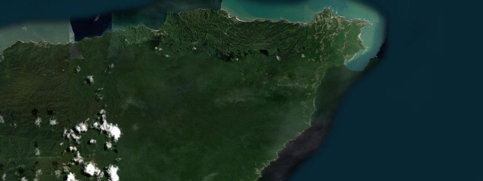
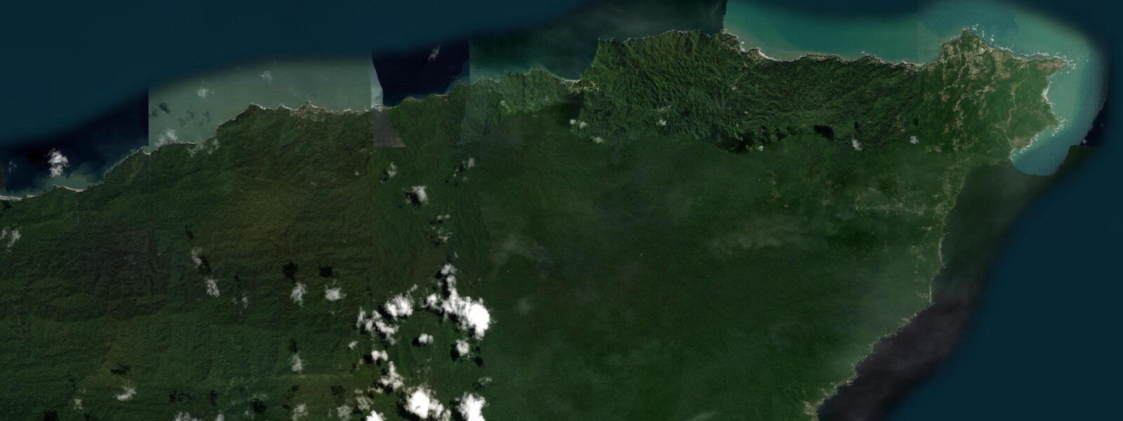
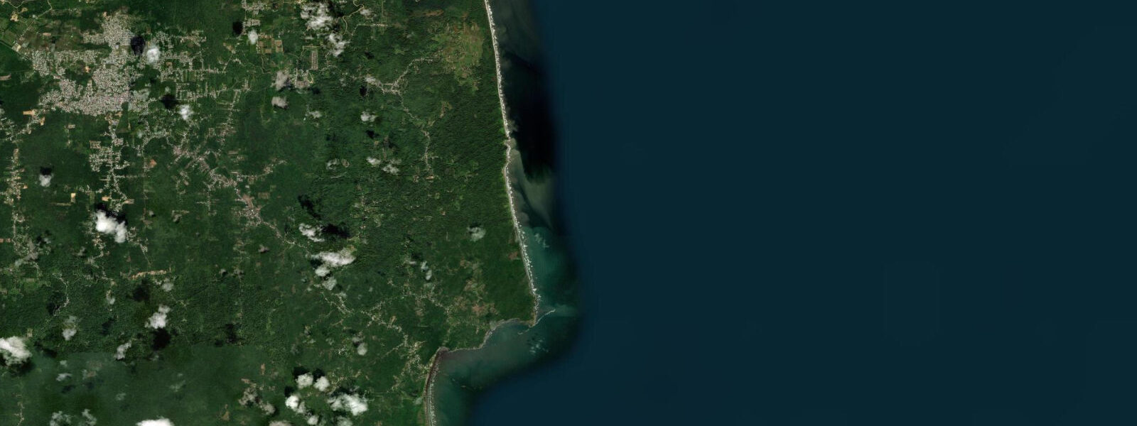
Toco sits at the northeastern tip of Trinidad, at the end of the Toco Road that winds through the Northern Range forest from Sangre Grande. The village itself is small — a fishing community built around its bay, the Toco pier, and the lighthouse on Galera Point immediately to the east — but the coastline around it is some of the most dramatic on the island. Galera Point is Trinidad's northeasternmost land, a low rocky headland where the Atlantic Ocean and the Caribbean Sea meet, and the lighthouse there has been a navigation mark for ships rounding Trinidad's northern tip since the nineteenth century.
The tidal regime at Toco is Atlantic-influenced and noticeably larger than the sheltered west coast Gulf of Paria: spring range approaches 0.9 to 1.3 metres, with two unequal tides per day in the mixed semidiurnal pattern. The beach at Toco Bay faces northeast and exposes a significant width of damp sand at low water; the rock shelf immediately east toward Galera Point is walkable during the low water window, from approximately 90 minutes before predicted low to 90 minutes after. The ironshore edge at the point itself requires care.
The Toco waterfall — a small seasonal cascade that drops directly onto the beach near the village during the wet season from June through November — is a distinctive feature visible from the bay at certain water levels. The river feeding it is one of several Northern Range streams that reach the sea on this coast, and their outflow after rain creates plumes of turbid brown water visible offshore. Clear water conditions are best in the dry season, January through May.
Leatherback sea turtles nest on the beaches between Toco and Grand Rivière, and the coastline around the village is within the broader nesting zone that makes this section of Trinidad internationally significant. Toco's own beach sees occasional nesting but at lower density than Grand Rivière; the community-based guide system that operates at Grand Rivière is the organised access point for turtle watching east of here. Independent night walking on nesting beaches is actively discouraged.
Shore fishing from the pier and from the rocky points flanking Toco Bay is productive for snapper, kingfish (wahoo), and carite (Spanish mackerel) that patrol the inshore channels. The local fishing fleet works the waters north and east of the point; pirogue boats depart the pier in the pre-dawn hours and return by mid-morning with the catch. Toco's fish market, small but active, is one of the freshest access points for locally caught Atlantic species in Trinidad.
For kayakers, the bay inside the headland is a protected flat-water paddle. The open Atlantic outside Galera Point should be treated with caution; current runs strongly around the headland on both the ebb and flood, and the exposure to Atlantic swell increases sharply once past the point.
Tide predictions for Toco come from Open-Meteo Marine, a global gridded ocean model. Accuracy is typically within plus or minus 45 minutes on timing and 0.2 to 0.3 metres on height. The Atlantic exposure here means swell state and trade wind conditions significantly affect coastal access beyond what the tide table captures alone.
The agricultural and forested hinterland behind Toco is the southern edge of the Northern Range forest reserve, one of the most botanically diverse areas in Trinidad. The Northern Range supports over 400 bird species and the forest extends to the cliff edge at several points along the Toco coast, making the coastal walk between the village and the headland one of the few places where forest birds are observable immediately above the high-water mark. Trinidad has no fewer than 433 recorded bird species — more than any other Caribbean island — and the northeast coast is prime territory for forest-edge observation.
Fuel and supplies should be obtained before driving to Toco. The village has a small shop and a rum shop but no petrol station; the nearest fuel is at Sangre Grande. For multi-day exploration of the northeast coast, Toco has basic guesthouse accommodation.
Tide questions about Toco, Northeast Trinidad
Quick answers to the most common questions about tide times, range, and water access at Toco, Northeast Trinidad.
What is the tide range at Toco?
Toco's Atlantic-facing coast sees a spring range of roughly 0.9 to 1.3 metres — significantly larger than the Gulf of Paria west coast, which is sheltered from the Atlantic tidal signal. The pattern is mixed semidiurnal: two unequal highs and two unequal lows each day. Spring tides around new and full moons push toward the top of the range; neap tides compress it to around 0.6 metres. The Atlantic swell and trade wind conditions affect what is actually accessible on any given day as much as the predicted tide height. Predictions come from Open-Meteo Marine — accuracy within plus or minus 45 minutes on timing and 0.2 to 0.3 metres on height.
Can I see leatherback turtles nesting at Toco?
The beaches around Toco are within the northeast Trinidad leatherback nesting zone, and occasional nesting does occur on Toco Bay beach. However, the organised and highest-density turtle watching on this coast is centred on Grande Rivière, roughly 15 kilometres west along the coast road. The community-based Nature Tour Guide Association at Grande Rivière controls beach access during nesting season from March through August and provides guided viewing that minimises disturbance. Independent night walking on any nesting beach in this area is actively discouraged. If your primary goal is turtle watching, Grande Rivière is the correct destination; Toco is a good base from which to access it.
What is Galera Point and can I visit the lighthouse?
Galera Point is Trinidad's northeasternmost tip, a low rocky headland immediately east of Toco village where the Atlantic Ocean and the Caribbean Sea formally meet. The lighthouse on the point has been a navigation mark for ships rounding Trinidad's northern coast since the nineteenth century. The lighthouse is operated by the Trinidad and Tobago Coast Guard; public access to the grounds is sometimes permitted but is not guaranteed. The view from the point across to Tobago in clear conditions is notable — Tobago's western end lies roughly 30 kilometres to the northeast. The intertidal rock shelf around the point exposes at low water and holds typical Atlantic rock pool fauna.
How do I get to Toco from Port of Spain?
Toco is approximately 90 kilometres from Port of Spain by road, but the journey takes 2.5 to 3.5 hours depending on traffic and road conditions through the Northern Range. The Toco Road from Sangre Grande is the only paved access route to the northeast coast; it is a winding single-lane mountain road through forest that is passable in a regular car but becomes slow and occasionally impassable after heavy rain that triggers landslips. Route taxi service from Sangre Grande to Toco runs through the day. There is no direct public transport from Port of Spain to Toco without a change at Sangre Grande.
Is it safe to swim at Toco Bay?
Toco Bay is moderately exposed to the Atlantic northeast trades. On calm days with low swell the bay is swimmable, and the inner section closest to the pier is most sheltered. The beach has no lifeguard service. When the northeast swell is running — particularly in the October to February winter swell season — the shore break can be powerful and currents unpredictable. Local knowledge about the specific beach conditions on any given day is the most reliable guide; the fishing community at the pier can advise. The rock shelf east toward Galera Point is not suitable for swimming; it is an intertidal walking zone only, and only at low water.
7-day tide table — Toco, Northeast Trinidad
Heights relative to MSL. Predictions: Open-Meteo Marine (MeteoFrance SMOC, 0.08° grid) — heights relative to MSL (not chart datum / LAT). Model-derived.
| Day | Type | Time | Height |
|---|---|---|---|
| Sat 04 Jul | High | 05:04 | 0.2m |
| Low | 11:43 | -0.5m | |
| High | 18:04 | 0.1m | |
| Low | 23:47 | -0.3m | |
| Sun 05 Jul | High | 05:47 | 0.2m |
| Low | 12:10 | -0.4m | |
| Mon 06 Jul | High | 19:21 | 0.2m |
| Tue 07 Jul | Low | 13:45 | -0.3m |
| High | 20:10 | 0.2m | |
| Wed 08 Jul | Low | 03:00 | -0.3m |
| High | 08:54 | 0.0m | |
| Low | 14:40 | -0.3m | |
| High | 21:10 | 0.2m | |
| Thu 09 Jul | Low | 04:10 | -0.4m |
| High | 10:15 | -0.0m | |
| Low | 15:40 | -0.3m | |
| High | 22:04 | 0.2m | |
| Fri 10 Jul | Low | 05:20 | -0.5m |
| High | 11:50 | -0.0m | |
| Low | 16:42 | -0.2m | |
| High | 19:00 | -0.1m |