Nuku'alofa tide times
Nuku'alofa tide forecast — heights relative to MSL.
Tide chart for Nuku'alofa
24-hour cosine-interpolated curve around the present moment. Heights relative to MSL. Predictions: Predictions: Open-Meteo Marine (MeteoFrance SMOC, 0.08° grid).
Sun, moon and conditions on Mon 29 Jun
Snapshot at build time — refreshes daily. Sea state from Open-Meteo Marine.
Highs and lows next 7 days
Every predicted high and low for the next week, with the daily tidal coefficient (0–120; higher = bigger swing, > 95 means stronger currents).
Other spots nearby
The three closest curated TideTurtle locations to Nuku'alofa, measured by great-circle distance.
Today's solunar windows
Solunar tradition: major periods are the ≈3h windows around moon transit and opposition; minor are ≈2h around moonrise and moonset. Pair with the local tide stage and wind for the best read.
Cycle dates near Nuku'alofa
Next spring tide on Thu 02 Jul (range 1.0m). Last neap on Sat 27 Jun.
Spring tides cluster around new and full moons (biggest swings). Neap tides land on quarter moons (smallest swings). See the spring tide and neap tide glossary entries for the why.
About tides at Nuku'alofa
A short guide to the coastline at Nuku'alofa — geography, sea state, and what the tide is actually doing under your feet.
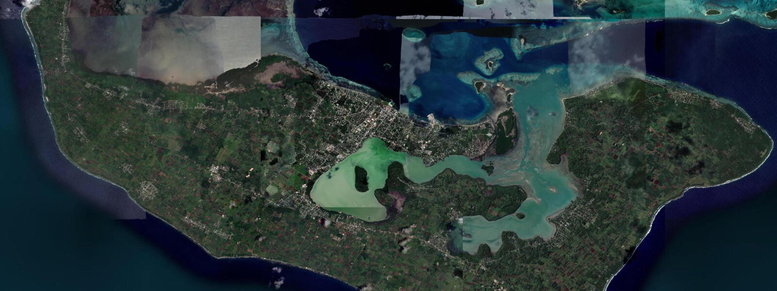
Nuku'alofa is the capital of Tonga, situated on the north coast of Tongatapu — the kingdom's main and most populous island. The Royal Palace, a white-painted Victorian timber building constructed in 1867, stands on the foreshore facing the harbour and remains the most photographed landmark in the country. The waterfront on Vuna Road is the hub of inter-island ferry operations: vessels to Vava'u, Ha'apai, and the Niuas all depart from the main wharf, and the timetables are more attuned to swell forecasts than to tide tables, but tidal state governs the depth over the harbour bar and the timing of small-craft movements.
Tonga's tidal regime is mixed semidiurnal, and Nuku'alofa sits on the sheltered south side of the Tongatapu lagoon, which damps the signal slightly compared to the open-ocean prediction. Spring range reaches 1.3–1.5 m above Chart Datum; neap range 0.5–0.7 m. The mixed character means the two daily highs can differ by 0.4–0.5 m on spring tides — the higher high water typically in the morning on the current tidal configuration. The lower high water is often only 0.9–1.0 m above Chart Datum, which matters for flat-bottomed vessels working the shallow reef lagoon to the south of the main island.
The Ha'amonga 'a Maui trilithon, a coral limestone monument of uncertain purpose constructed around AD 1200, stands on Tongatapu's northeast coast 35 km from the capital. The coast around it is reef-fringed and accessible at low tide, exposing rock platforms used by the Tongan people for centuries for fishing and foraging. The current archaeological interpretation of Ha'amonga's alignment with the winter and summer solstice sunrise suggests astronomical awareness that would naturally have paired with tidal observation — the coastal Tongan relationship with the sea runs deep.
For anglers, the most productive fishing from Nuku'alofa is boat-based from the reef edge outside the lagoon. The passes through the north reef — particularly the 'Otu 'Ahau passage to the northeast — funnel tidal current at 1.5–2.5 knots on springs. Trolling the pass edges on the flood produces wahoo, yellowfin tuna, and giant trevally. Shore fishing from the breakwater at the eastern end of the waterfront targets snapper and trevally on the ebb; the best light is first dawn, when the ebb is pulling hard and predators work the current shadow behind the breakwater.
Kayakers use Nuku'alofa as the launch point for the Pangaimotu Island day trip — a flat-water crossing of approximately 2 km to the island just offshore, most popular on weekends. The crossing is straightforward at all tidal states in calm conditions; the ebb current can set a paddler east of the direct line, so aim slightly uptide on the crossing. The island has a beach resort and snorkelling reef accessible from shore at low water. Circumnavigation of Pangaimotu takes about 2 hours at easy pace.
Photographers target the Nuku'alofa waterfront at low spring water for the widest reef-flat exposure in front of the Royal Palace. The palace is best lit from the northwest in the late afternoon, roughly 15:00–17:30. At low spring water the exposed reef flat between the waterfront seawall and the open water creates a reflective surface in morning light that isolates the palace on its own spit of land. The January–February period brings afternoon thunderstorms that produce dramatic skies over the harbour.
Boaters transiting Tonga clear customs at Nuku'alofa or Neiafu. The outer harbour anchorage is exposed to northerly wind chop and swell; the inner harbour behind the wharf provides better protection. Tidal range of 1.3–1.5 m on springs means dock lines need slack to prevent stretching — the fender arrangement matters more than on a microtidal coast.
All tide predictions for Nuku'alofa come from the Open-Meteo Marine gridded model. Timing accuracy is ±45 minutes; height accuracy is ±0.3 m above Chart Datum.
Tide questions about Nuku'alofa
Quick answers to the most common questions about tide times, range, and water access at Nuku'alofa.
What is the tidal range at Nuku'alofa and does it affect the ferry schedule?
Nuku'alofa's spring tidal range is 1.3–1.5 m above Chart Datum, mixed semidiurnal. The main inter-island ferries are deep-draught vessels for which tidal state at the main wharf presents no constraint — the harbour holds adequate depth throughout the tidal cycle. Small commercial vessels and fishing boats working the shallow reef lagoon south of Tongatapu do monitor tidal state for passage over shallow reef flats. Weather — specifically swell height and wind in the exposed northern passages — drives ferry schedule changes far more often than tide. Open-Meteo Marine predictions carry ±45 minutes timing and ±0.3 m height uncertainty.
When is the best time to cross to Pangaimotu Island by kayak?
The 2 km crossing from the Nuku'alofa waterfront to Pangaimotu Island is manageable at all tidal states in calm conditions. The ebb current sets eastward — aim slightly uptide (west) to track a straight line. Morning crossings before 09:00 are calmer; afternoon trade-wind chop makes the return less comfortable. The island's snorkelling reef is best accessed at mid-tide rising: enough water to swim over the corals but below the level that covers the shallower table corals on the inner flat. Spring low water briefly exposes sections of the inner reef that are off-limits for snorkelling.
What fishing method works best from the Nuku'alofa breakwater?
Dawn shore casting on the ebb tide from the eastern breakwater targets snapper and giant trevally. The ebb current creates a shadow zone behind the breakwater where predators hold and ambush baitfish swept past in the current. Cast parallel to or slightly uptide of the breakwater wall, let the current sweep the lure into the shadow zone, and retrieve against the current. Jig heads with soft plastics outperform live bait in the current shadow. Spring tides produce stronger current and more aggressive feeding; neap tides are slower but easier to work precise structure positions.
What is the mixed semidiurnal tide pattern and why does it matter for planning?
Mixed semidiurnal means two highs and two lows per day, but the two highs are not equal and neither are the two lows. At Nuku'alofa on spring tides, the higher high water can reach 1.4 m above Chart Datum while the lower high water the same day reaches only 0.9–1.0 m. Planning based on the assumption of two equal highs will sometimes miscalculate reef-flat depth by 0.4–0.5 m. For any activity that depends on a minimum depth — passage over the southern lagoon reef flats, launching from shallow beach ramps, snorkelling over table corals — always check both daily highs on TideTurtle rather than assuming symmetry.
When is the Royal Palace waterfront best for photography?
The Royal Palace faces northwest and is optimally lit in the late afternoon: 15:00–17:30 local time. Low spring water — when the reef flat between the seawall and open water is exposed — provides the most compelling foreground and creates a natural moat effect that isolates the palace on its own raised ground. The alignment of low spring water with late afternoon occurs roughly four to six days per lunar cycle. January and February bring afternoon thunderstorm development over the harbour that produces dramatic sky backdrops from approximately 14:00 onward. Open-Meteo Marine tide predictions carry ±45 minutes timing uncertainty.
7-day tide table — Nuku'alofa
Heights relative to MSL. Predictions: Open-Meteo Marine (MeteoFrance SMOC, 0.08° grid) — heights relative to MSL (not chart datum / LAT). Model-derived.
| Day | Type | Time | Height |
|---|---|---|---|
| Mon 29 Jun | High | 05:46 | 1.1m |
| Low | 12:19 | 0.1m | |
| High | 18:24 | 0.9m | |
| Tue 30 Jun | Low | 13:02 | 0.1m |
| High | 19:12 | 0.9m | |
| Wed 01 Jul | Low | 01:02 | 0.3m |
| High | 07:10 | 1.1m | |
| Low | 13:46 | 0.1m | |
| High | 19:54 | 1.0m | |
| Thu 02 Jul | Low | 01:48 | 0.3m |
| High | 07:51 | 1.1m | |
| Low | 14:25 | 0.1m | |
| Fri 03 Jul | High | 08:35 | 1.1m |
| Low | 15:05 | 0.1m | |
| High | 21:15 | 1.0m | |
| Sat 04 Jul | Low | 03:08 | 0.2m |
| High | 09:15 | 1.1m | |
| Low | 15:43 | 0.1m | |
| High | 21:57 | 1.0m | |
| Sun 05 Jul | Low | 03:51 | 0.2m |
| High | 09:57 | 1.1m | |
| Low | 12:00 | 0.8m |