Pangai, Ha'apai tide times
Pangai, Ha'apai tide forecast — heights relative to MSL.
Tide chart for Pangai, Ha'apai
24-hour cosine-interpolated curve around the present moment. Heights relative to MSL. Predictions: Predictions: Open-Meteo Marine (MeteoFrance SMOC, 0.08° grid).
Sun, moon and conditions on Mon 29 Jun
Snapshot at build time — refreshes daily. Sea state from Open-Meteo Marine.
Highs and lows next 7 days
Every predicted high and low for the next week, with the daily tidal coefficient (0–120; higher = bigger swing, > 95 means stronger currents).
Other spots nearby
The three closest curated TideTurtle locations to Pangai, Ha'apai, measured by great-circle distance.
Today's solunar windows
Solunar tradition: major periods are the ≈3h windows around moon transit and opposition; minor are ≈2h around moonrise and moonset. Pair with the local tide stage and wind for the best read.
Cycle dates near Pangai, Ha'apai
Next spring tide on Thu 02 Jul (range 0.8m). Next neap on Mon 29 Jun.
Spring tides cluster around new and full moons (biggest swings). Neap tides land on quarter moons (smallest swings). See the spring tide and neap tide glossary entries for the why.
About tides at Pangai, Ha'apai
A short guide to the coastline at Pangai, Ha'apai — geography, sea state, and what the tide is actually doing under your feet.
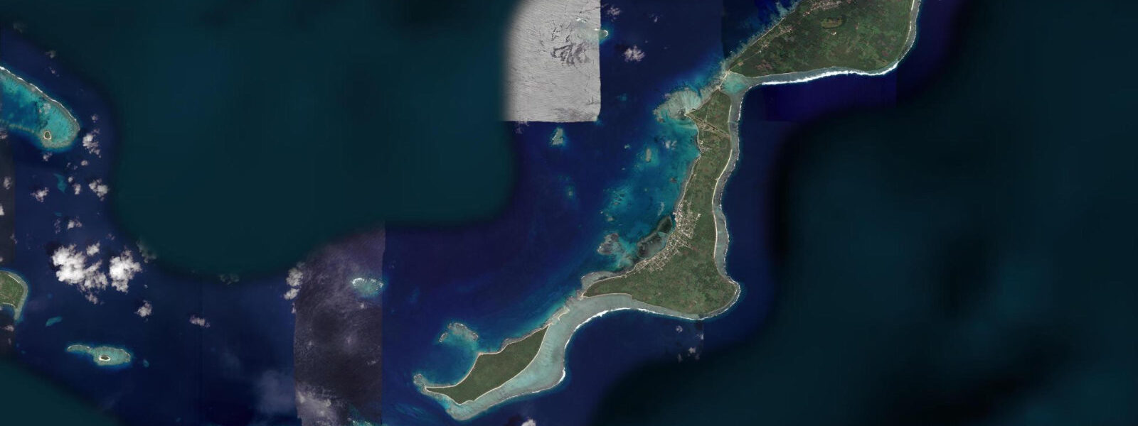
Pangai is the main settlement of Ha'apai, the central island group of Tonga, spread across Lifuka Island at the group's geographic core. Lifuka is a long, narrow coral atoll barely 2 m above sea level at its highest point. The Ha'apai group is the least visited and most remote of Tonga's three main island groups — the weekly ferry from Nuku'alofa takes 10–12 hours, the airport serves small prop-aircraft, and tourist infrastructure is minimal. The reward is extraordinary: coral reefs that see almost no recreational diving pressure, empty beaches of white sand, and fishing grounds that rarely encounter visiting boats outside the brief cruising yacht season.
The tidal regime at Pangai is mixed semidiurnal, essentially the same astronomical signal as Tongatapu 160 km to the south. Spring range 1.3–1.5 m above Chart Datum; neap range 0.5–0.7 m. The critical distinction at Ha'apai compared to Tongatapu or Vava'u is the exposure. Lifuka has no significant barrier reef on its windward (east and north) faces, and the island group's atolls are surrounded by reef that shelves quickly to deep ocean. Trade-wind swell from the southeast runs at the outer reef edges continuously, and swell height combines with tidal range to define the actual waterline on any given hour.
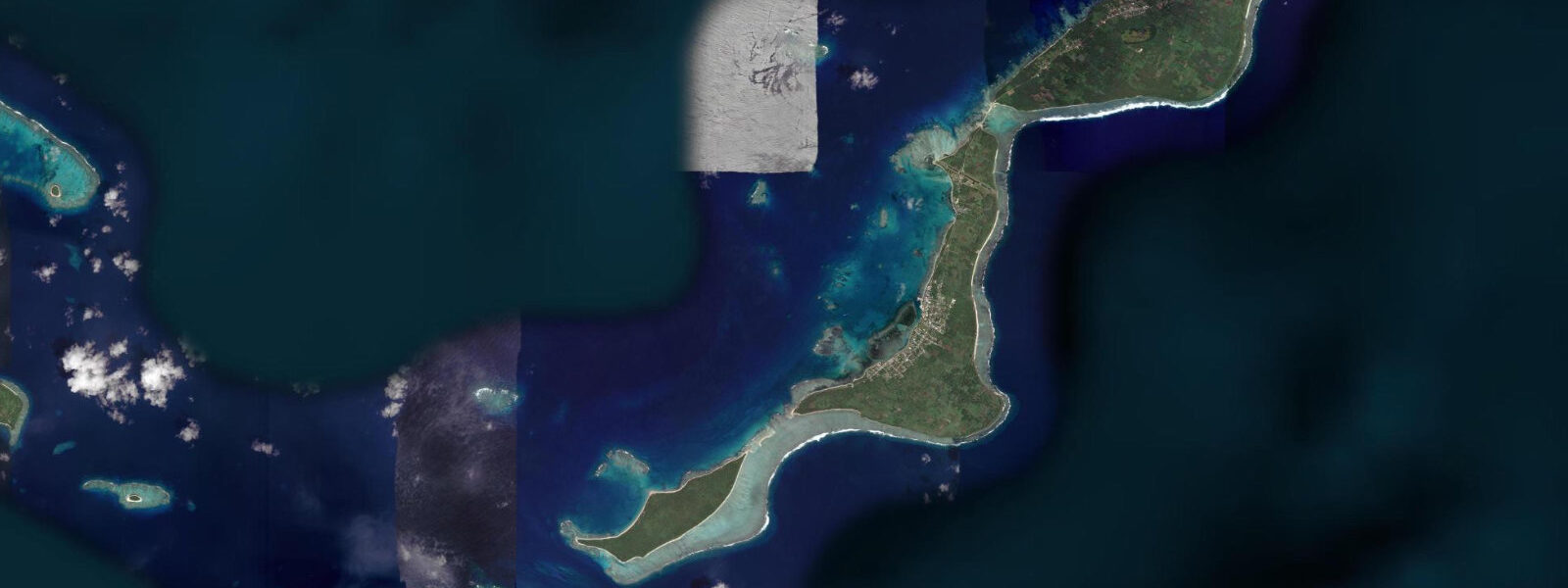
On the leeward (west) side of Lifuka, the reef flat is protected and extends 300–500 m from shore to the outer reef crest. At low spring water this flat carries 0.1–0.3 m of warm, clear water — the shallow-water snorkelling here is the best in Ha'apai. The reef crest itself drops away steeply on the outer face to 20–40 m. Snorkellers working the reef top should track the incoming flood carefully: as water rises above 0.8 m on the gauge, current across the outer reef crest builds and the flat water becomes noticeably less slack.
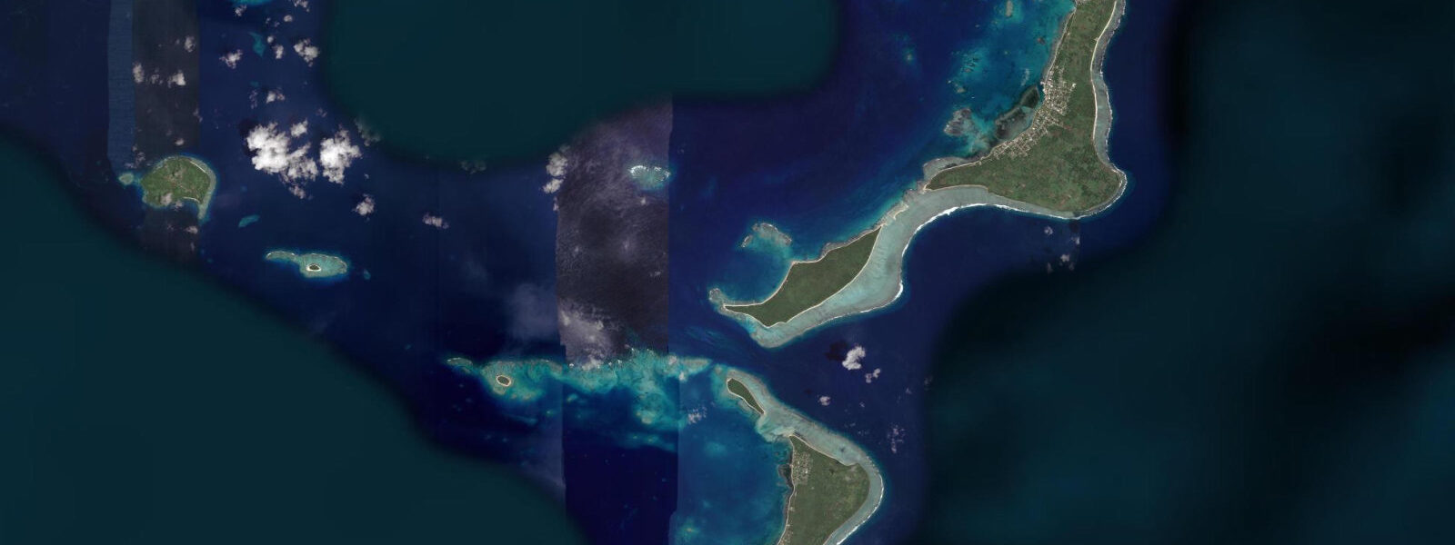
For divers, Ha'apai offers drift dives along the outer walls of the atolls that bracket the group — Uoleva to the south of Lifuka, Foa to the north. These walls drop to 30–60 m and carry strong tidal current on spring tides; the optimum dive window is the one to two hours around slack water near the turns. Outside that window, the current along the wall face exceeds 2 knots and becomes a sports dive rather than an exploration dive.
Anglers targeting giant trevally, wahoo, and yellowfin tuna work the passes between the Ha'apai atolls at dawn. The inter-atoll passes run strong — 2.0–4.0 knots on spring ebbs — and the current rips at pass edges produce consistent top-water strikes. A small boat can drift these rips with surface poppers and stickbaits for two hours either side of the ebb low, then run back to Pangai before trade-wind seas build. The inter-island boat anchoring is unreliable in any pass faster than 2 knots; use a drogue or fish the drift.
Photographers at Pangai have to work with the remoteness. The town of Pangai itself is modest — colourful fale buildings, a grass airstrip, and fishing boats on the beach. The photographic subject is the natural environment: low-angle dawn light on the west-side reef flat produces clear-water reflections of the sky over the shallow coral substrate. A rising tide in the first hour of dawn — when water is gaining 0.1–0.2 m above Chart Datum on a clean neap flood — fills the reef flat with the most transparent conditions, before boat traffic or wind creates surface turbulence.
Families and casual visitors to Pangai should concentrate on the west-side beach and reef flat. The east-facing coast is exposed and wave action can make wading unsafe even at low tide. The beach at the southern end of Lifuka in front of Pangai village is the safest family access point: calm at most tidal states, with adequate depth for swimming at mid-tide and above.
All tide predictions for Pangai, Ha'apai come from the Open-Meteo Marine gridded model. Timing accuracy is ±45 minutes; height accuracy is ±0.3 m above Chart Datum.
Tide questions about Pangai, Ha'apai
Quick answers to the most common questions about tide times, range, and water access at Pangai, Ha'apai.
When is the west-side reef flat at Lifuka best for snorkelling?
The west-side reef flat is best at mid-tide on the rising flood — gauge reading between 0.5 m and 0.9 m above Chart Datum. At this level the flat carries 0.3–0.6 m of clear water, providing enough depth to swim comfortably over the coral structure without touching it. At low spring water (below 0.3 m) the flat is very shallow and portions of the inner reef are exposed. Above 0.9 m, current across the outer reef crest builds and the flat becomes less calm. Avoid the eastern reef faces entirely — trade-wind swell arrives directly and makes in-water conditions unpredictable. Open-Meteo Marine predictions carry ±45 minutes timing uncertainty.
How strong is the tidal current in the Ha'apai inter-atoll passes?
Spring tidal current in the inter-atoll passes around Ha'apai reaches 2.0–4.0 knots on the ebb, depending on pass geometry. These are strong drift conditions — anchoring is impractical. The optimal angling and diving window is 1–2 hours around slack water near the tidal turns. For drift diving along the outer walls of Uoleva and Foa, slack water gives controlled buoyancy and direction; outside that window, current exceeds 2 knots and dictates the dive profile entirely. Boats must confirm tidal state before entering any narrow pass — grounding on a current-swept reef edge in a 3-knot current leaves no recovery option.
Is Ha'apai accessible to visiting yachts and what anchorages are safe?
Ha'apai is a recognised cruising destination and the main anchorage is off Pangai on Lifuka's northwest coast, in 5–10 m over sand and coral rubble. The anchorage is exposed to northerly wind swell that arrives when trade winds shift in the October–November transitional period. On southerly swells the anchorage is comfortable. Depth at the anchorage holds 5–10 m throughout the tidal cycle — spring tidal range of 1.3–1.5 m does not create a stranding risk for properly anchored vessels. Tonga Ports Authority requires vessels to clear customs at Nuku'alofa or Neiafu before proceeding to Ha'apai — do not anchor at Pangai without customs clearance.
What makes Ha'apai different from Vava'u for divers?
Ha'apai's outer-wall dives are drift dives along atolls that see almost no recreational pressure — the reef is in near-pristine condition compared to more visited Pacific dive destinations. Vava'u's diving is primarily inside the enclosed harbour system on shallower reef structures. Ha'apai's outer walls at Uoleva and Foa drop to 30–60 m on exposed faces, with strong tidal current that requires experience and good buoyancy control. The trade-off is logistics: Ha'apai has no dive operator at the standard of Neiafu; most visiting divers bring their own kit on the inter-island ferry and organise boat support locally.
Are the Ha'apai atolls at risk from rising sea level?
Yes, directly. Lifuka's maximum elevation is approximately 2 m above sea level — most of the island sits between 0.5 m and 1.5 m. King tides (spring tides coinciding with perigean high tide) already produce wash-over events on the lowest sections during southerly swells. The tidal range of 1.3–1.5 m means spring high water approaches or exceeds the elevation of the lowest shoreline areas. Cyclone storm surge presents the acute risk — Cyclone Winston (2016) produced surge conditions that inundated parts of Ha'apai. Any coastal planning on Lifuka should account for tidal state plus surge risk rather than treating the tidal prediction as the upper water-level bound.
7-day tide table — Pangai, Ha'apai
Heights relative to MSL. Predictions: Open-Meteo Marine (MeteoFrance SMOC, 0.08° grid) — heights relative to MSL (not chart datum / LAT). Model-derived.
| Day | Type | Time | Height |
|---|---|---|---|
| Mon 29 Jun | Low | 12:03 | 0.2m |
| High | 18:10 | 0.9m | |
| Tue 30 Jun | Low | 00:00 | 0.3m |
| High | 06:10 | 1.0m | |
| Low | 12:48 | 0.2m | |
| High | 18:52 | 0.9m | |
| Wed 01 Jul | Low | 00:45 | 0.3m |
| High | 06:54 | 1.0m | |
| Thu 02 Jul | Low | 14:10 | 0.2m |
| High | 20:16 | 0.9m | |
| Fri 03 Jul | Low | 02:10 | 0.3m |
| High | 08:16 | 1.0m | |
| Low | 14:54 | 0.2m | |
| High | 21:00 | 0.9m | |
| Sat 04 Jul | Low | 02:52 | 0.3m |
| High | 09:00 | 1.0m | |
| Sun 05 Jul | Low | 03:37 | 0.3m |
| High | 09:43 | 1.0m | |
| Low | 12:00 | 0.8m |