Uoleva Island, Ha'apai tide times
Uoleva Island, Ha'apai tide forecast — heights relative to MSL.
Tide chart for Uoleva Island, Ha'apai
24-hour cosine-interpolated curve around the present moment. Heights relative to MSL. Predictions: Predictions: Open-Meteo Marine (MeteoFrance SMOC, 0.08° grid).
Sun, moon and conditions on Mon 06 Jul
Snapshot at build time — refreshes daily. Sea state from Open-Meteo Marine.
Highs and lows next 7 days
Every predicted high and low for the next week, with the daily tidal coefficient (0–120; higher = bigger swing, > 95 means stronger currents).
Other spots nearby
The three closest curated TideTurtle locations to Uoleva Island, Ha'apai, measured by great-circle distance.
Today's solunar windows
Solunar tradition: major periods are the ≈3h windows around moon transit and opposition; minor are ≈2h around moonrise and moonset. Pair with the local tide stage and wind for the best read.
Cycle dates near Uoleva Island, Ha'apai
Next spring tide on Fri 10 Jul (range 1.1m). Next neap on Mon 06 Jul.
Spring tides cluster around new and full moons (biggest swings). Neap tides land on quarter moons (smallest swings). See the spring tide and neap tide glossary entries for the why.
About tides at Uoleva Island, Ha'apai
A short guide to the coastline at Uoleva Island, Ha'apai — geography, sea state, and what the tide is actually doing under your feet.
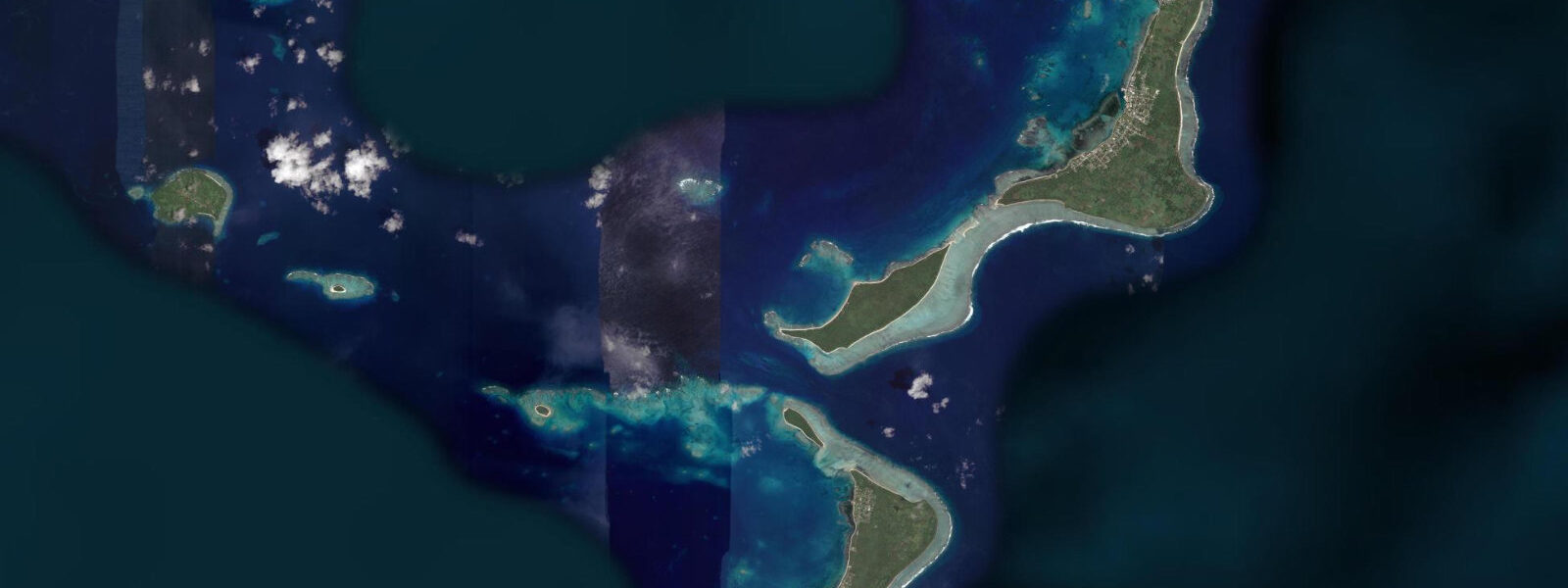
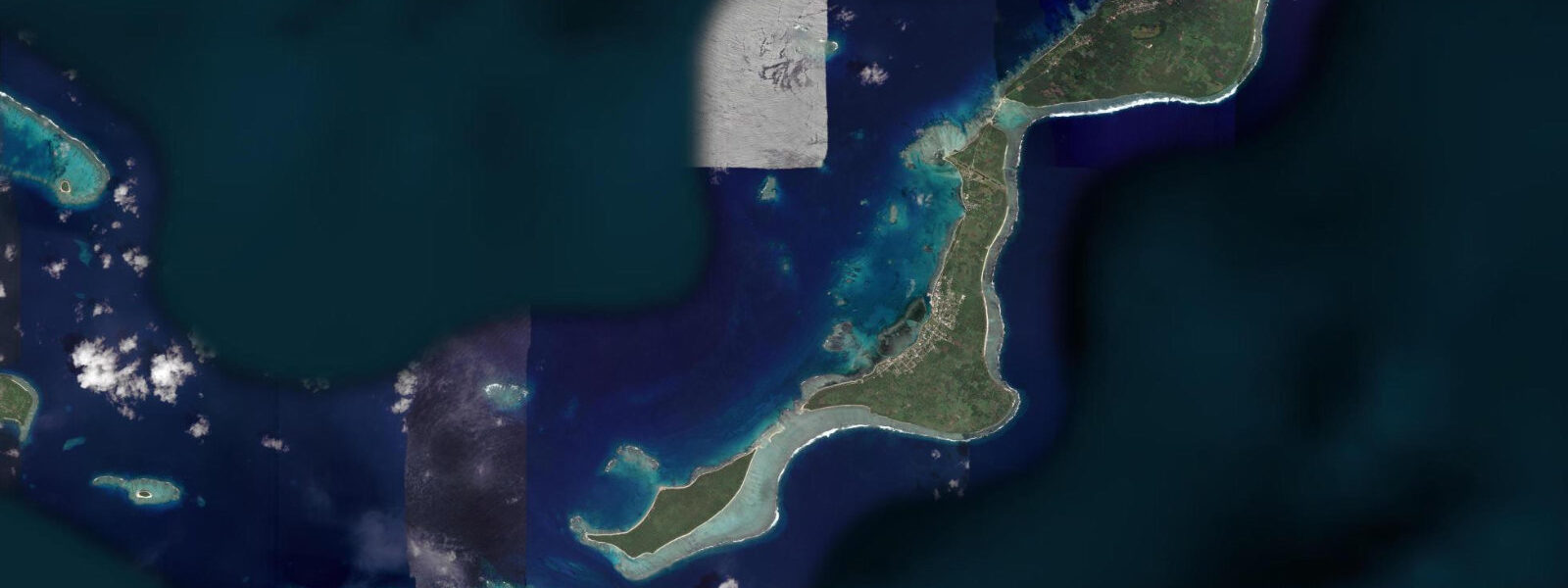
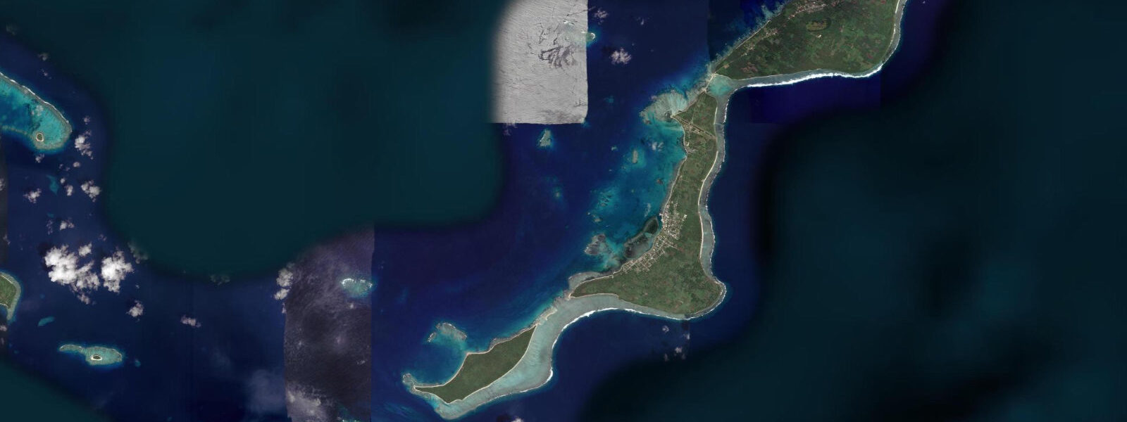
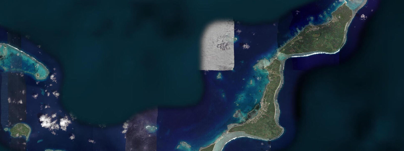
Uoleva is a low coral island immediately south of Lifuka in the central Ha'apai group, separated from Lifuka by a shallow channel that is fordable on foot at low water spring tides. The island is uninhabited and has been the subject of minimal formal development; a handful of basic bungalow operations have opened and closed on its western beach over the years, and the current state is one of near-complete informality. A long white-sand beach runs the full length of the western shore, backed by coconut palms, and a fringing reef extends 100 to 300 metres offshore along the island's eastern and southern faces.
The channel between Uoleva and Lifuka is the most interesting feature for tidal planning. At high water, the channel is 0.5 to 1.2 metres deep — swimmable, crossable by kayak, not fordable on foot. At low water on spring tides, the channel shallows to ankle depth or less across a sand and coral flat, and the crossing is possible on foot though care is needed on the coral patches. The spring range in Ha'apai is 1.0 to 1.5 metres. At neap low water the crossing is deeper — 0.3 to 0.6 metres — and typically knee-deep. Tide data for Uoleva comes from Open-Meteo Marine; accuracy is ±45 minutes on timing and ±0.2 to 0.3 metres on height.
For beach visitors, the western sand beach at Uoleva is among the better isolated beaches in the central Pacific. The beach faces west, so afternoon and late-afternoon light hits the sand directly; morning hours have the sea to the east with the beach in shade until mid-morning. High tide pushes the water line to the coconut palms; low tide exposes a wide sand flat suitable for long walks. The swimming zone inside the fringing reef is calm at all tidal stages on the western side, though the water shallows on the reef flat as the tide drops.
For snorkellers, the fringing reef off Uoleva's eastern shore carries the primary coral coverage. At high water the reef top is at 0.5 to 1.5 metres — shallow enough to see clearly from the surface and deep enough for comfortable snorkelling. The two hours around high tide give the best conditions. The reef fish assemblage includes the standard Ha'apai reef species: parrotfish, moorish idols, butterflyfish, and reef sharks in the deeper sections of the eastern channel. Turtles are commonly sighted on the reef flat — both hawksbill and green turtle feed in the reef top and seagrass patches.
For campers, Uoleva is one of the few places in Tonga where beach camping is genuinely practicable. The western beach has no formal campsite, but the coconut grove provides natural shelter and the isolation is complete from dusk. Night sky visibility from Uoleva is among the best available in the Ha'apai group — no town light, minimal boat traffic, and the full Milky Way on clear nights. Bring fresh water (at least 3 litres per person per day); there is no water source on the island. Camping requires permission from the landowners, which is typically arranged through tour operators in Pangai.
Kayakers from Pangai run the crossing to Uoleva as one of the standard Ha'apai routes — the 6-kilometre paddle south from Pangai wharf following the Lifuka reef edge, crossing the Uoleva channel at mid-tide or above, and arriving at the western beach for a rest stop. The channel crossing at low water on a kayak requires walking the boat over the shallow sections. Full-day kayak itineraries from Pangai extend south past Uoleva to the outer reef edge, where deep-water swells meet the fringing reef in small surf breaks on the reef crest.
Fishing around Uoleva's southern point and eastern reef edge is productive on an outgoing tide. The southern point is exposed to the trade wind swell from the south and east; a modest shore break appears here in trade wind conditions. Trevally and barracuda work the current lines at the reef edge as the tide falls; from a small boat, the southern pass between Uoleva and the outer reef produces queenfish on lure. The Ha'apai reef system is lightly fished compared to Vava'u, and fish density at Uoleva reflects this.
The walk from the western beach across the island to the eastern reef edge takes 5 to 10 minutes through the coconut forest — a flat, simple traverse. The eastern shore, facing into the trade wind, has small surf on the reef crest in trade conditions; the wave height is limited by the shallow reef top (0.5 to 1.5 metres at high water), typically producing 0.3 to 0.8 metres of spilling whitewater. This is not a surf destination by normal measures, but the visual environment — the palm-lined shore, the turquoise reef flat, the trade wind swell wrapping the reef crest — is the archetypal Ha'apai image that the travel guides have been using since the 1990s.
Tide questions about Uoleva Island, Ha'apai
Quick answers to the most common questions about tide times, range, and water access at Uoleva Island, Ha'apai.
Can I walk from Lifuka to Uoleva at low tide?
The channel between Lifuka and Uoleva shallows to ankle depth or less at low water on spring tides, making a foot crossing possible — but care is needed on the coral patches. At neap low water, the crossing is typically knee-deep (0.3 to 0.6 metres) rather than fordable. At high water the channel is 0.5 to 1.2 metres deep and not fordable on foot. Ha'apai spring range is 1.0 to 1.5 metres; the crossing window sits in approximately 3 to 4 hours around the predicted low on a spring tide day. Tide data comes from Open-Meteo Marine — accuracy ±45 minutes and ±0.2 to 0.3 metres. Check the tide table the night before any planned foot crossing.
What is the tidal range at Uoleva and when is the best swimming time?
Ha'apai experiences mixed semidiurnal tides with a spring range of 1.0 to 1.5 metres. On Uoleva's western beach, high tide pushes the water to the coconut palms; low tide exposes a wide sand flat. The swimming zone inside the western fringing reef is calm at all tidal stages, but depth over the reef flat shallows on the ebb. For the best swimming — enough depth to move freely without touching the sand or reef patches — the two hours around high tide are optimal. For the widest beach and the sand-spit extension at the southern point, visit at low water. Tide data from Open-Meteo Marine, accuracy ±45 minutes and ±0.2 to 0.3 metres.
Is camping permitted on Uoleva?
Camping is possible on Uoleva's western beach but requires permission from the island's landowners, which is standard practice in Tonga under customary land tenure. Permission is typically arranged through tour operators in Pangai who have existing relationships with the landowners. Independent travellers should not simply arrive and camp without this arrangement. Self-sufficient campers should bring all food and a minimum of 3 litres of water per person per day — there is no water source on the island. The coconut grove provides natural shelter from the trade wind. Waste must be carried out.
How do I get to Uoleva from Pangai?
Pangai on Lifuka Island is the access point. By boat from Pangai wharf, Uoleva's western beach is a 20 to 30 minute trip by outboard dinghy charter. By kayak, the southern paddle from Pangai along the Lifuka reef edge to Uoleva takes approximately 2 to 2.5 hours. The Lifuka-Uoleva channel crossing by kayak is easiest at mid-tide or above; at low water on springs, the flat requires walking the boat over shallow sections. A third option for fit walkers is the foot crossing from Lifuka's southern tip at low spring tide, combined with a beach walk along Lifuka to the crossing point — allow 1.5 to 2 hours from Pangai on foot.
What marine wildlife is commonly seen around Uoleva?
Hawksbill and green turtles feed on the reef flat and seagrass patches on Uoleva's eastern and southern faces — they are among the most reliable turtle-sighting locations in Ha'apai. Reef sharks (blacktip and grey reef shark) patrol the deeper sections of the eastern channel, most visibly in the early morning and late afternoon. The reef fish assemblage is representative of Ha'apai inner reef: parrotfish, moorish idols, butterflyfish, and wrasse. Humpback whales pass through the Ha'apai group from July to October; sightings from the beach or from a kayak on the western side of the island are possible during peak season (August to September).
7-day tide table — Uoleva Island, Ha'apai
Heights relative to MSL. Predictions: Open-Meteo Marine (MeteoFrance SMOC, 0.08° grid) — heights relative to MSL (not chart datum / LAT). Model-derived.
| Day | Type | Time | Height |
|---|---|---|---|
| Mon 06 Jul | Low | 16:54 | 0.2m |
| High | 23:06 | 1.0m | |
| Tue 07 Jul | Low | 05:12 | 0.3m |
| High | 23:50 | 1.0m | |
| Wed 08 Jul | Low | 06:00 | 0.3m |
| High | 12:06 | 1.0m | |
| Low | 18:13 | 0.2m | |
| Thu 09 Jul | High | 00:35 | 1.1m |
| Low | 06:54 | 0.3m | |
| High | 12:56 | 1.0m | |
| Low | 19:02 | 0.2m | |
| Fri 10 Jul | High | 01:24 | 1.1m |
| Low | 07:42 | 0.2m | |
| High | 13:48 | 1.0m | |
| Low | 19:57 | 0.2m | |
| Sat 11 Jul | High | 02:13 | 1.1m |
| Low | 08:40 | 0.2m | |
| High | 14:48 | 1.0m | |
| Low | 20:46 | 0.2m | |
| Sun 12 Jul | High | 03:06 | 1.2m |
| Low | 09:35 | 0.1m | |
| High | 12:00 | 0.4m |