Pangai, Ha'apai, Tonga tide times
Pangai, Ha'apai, Tonga tide forecast — heights relative to MSL.
Tide chart for Pangai, Ha'apai, Tonga
24-hour cosine-interpolated curve around the present moment. Heights relative to MSL. Predictions: Predictions: Open-Meteo Marine (MeteoFrance SMOC, 0.08° grid).
Sun, moon and conditions on Mon 06 Jul
Snapshot at build time — refreshes daily. Sea state from Open-Meteo Marine.
Highs and lows next 7 days
Every predicted high and low for the next week, with the daily tidal coefficient (0–120; higher = bigger swing, > 95 means stronger currents).
Other spots nearby
The three closest curated TideTurtle locations to Pangai, Ha'apai, Tonga, measured by great-circle distance.
Today's solunar windows
Solunar tradition: major periods are the ≈3h windows around moon transit and opposition; minor are ≈2h around moonrise and moonset. Pair with the local tide stage and wind for the best read.
Cycle dates near Pangai, Ha'apai, Tonga
Next spring tide on Fri 10 Jul (range 1.0m). Next neap on Sun 05 Jul.
Spring tides cluster around new and full moons (biggest swings). Neap tides land on quarter moons (smallest swings). See the spring tide and neap tide glossary entries for the why.
About tides at Pangai, Ha'apai, Tonga
A short guide to the coastline at Pangai, Ha'apai, Tonga — geography, sea state, and what the tide is actually doing under your feet.
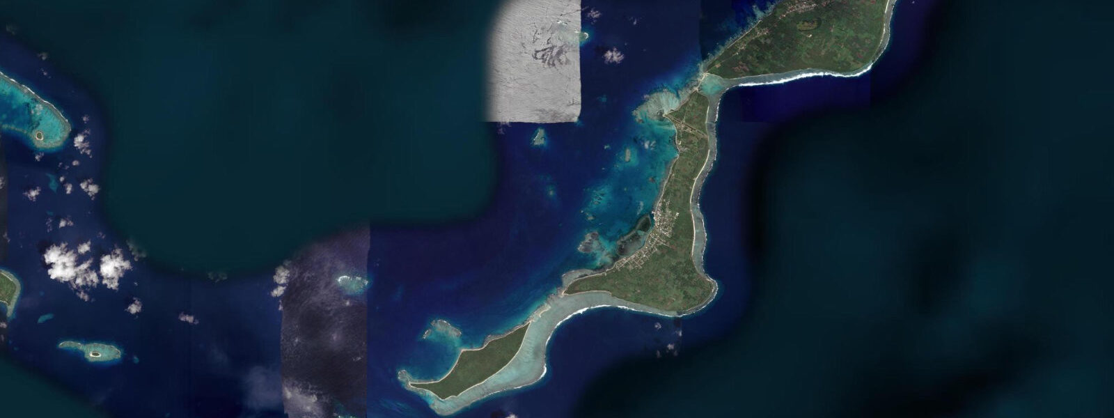
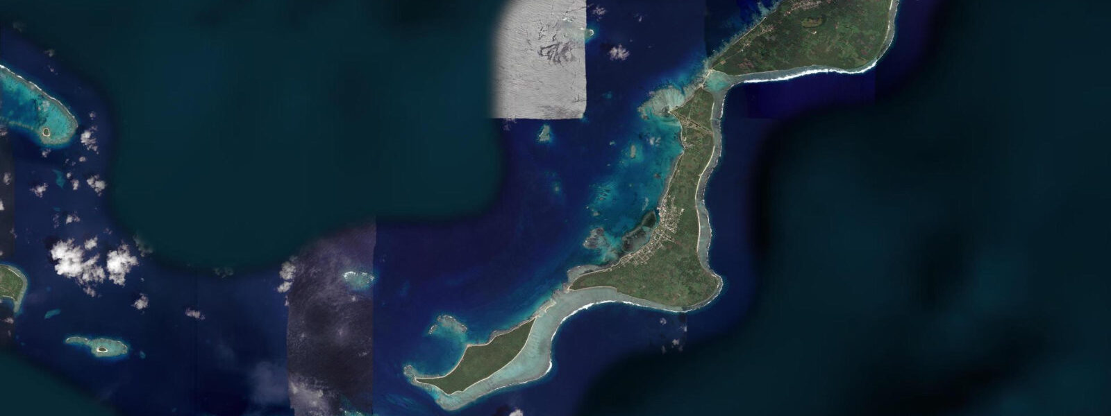
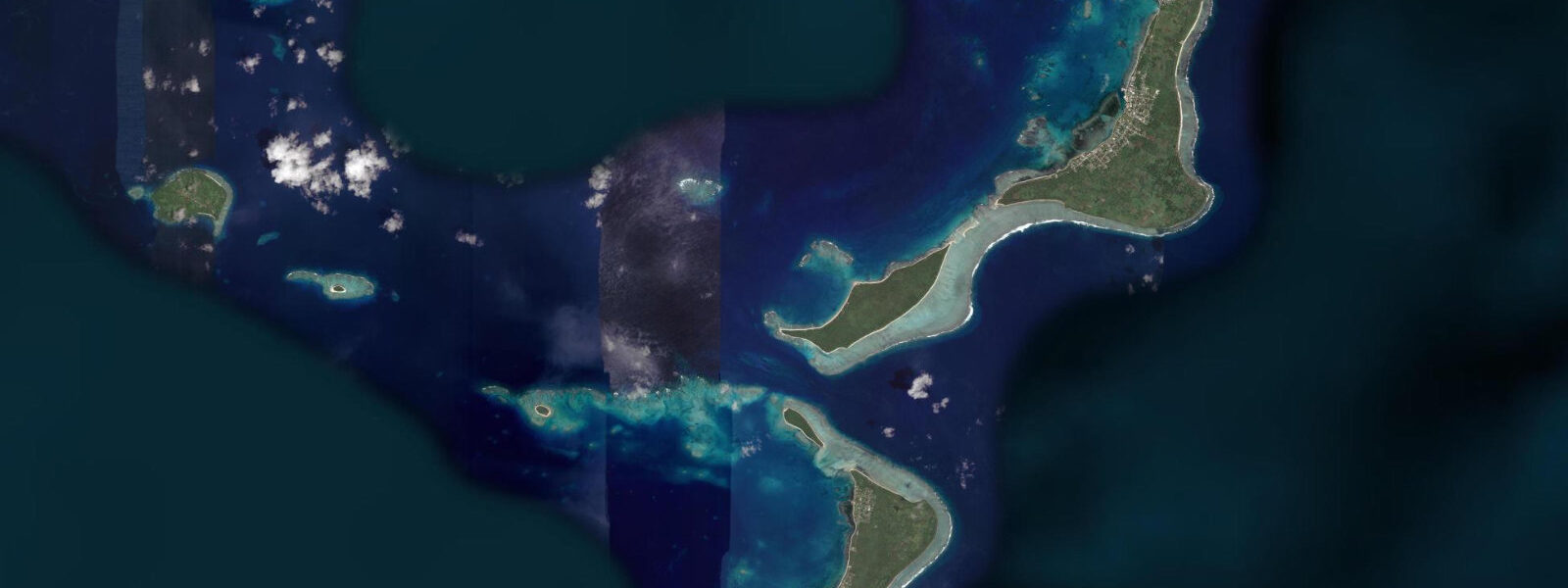
Pangai is the administrative centre of Ha'apai Group, sitting on Lifuka Island in the middle of the Ha'apai atoll cluster. Ha'apai is the least-visited of Tonga's three island groups — sandwiched between the developed tourist hubs of Vava'u (north) and Tongatapu (south), receiving a fraction of either's visitor count, which is the draw for the travellers who make the deliberate choice to come. The group consists of roughly 50 low-lying coral and sandy islands, most uninhabited, connected to Nuku'alofa by a weekly ferry service and by irregular Air Tonga flights to the Lifuka airstrip.
The 2009 MV Princess Ashika disaster is part of Ha'apai's recent history. The ferry sank in calm weather on 5 August 2009 while crossing between Nuku'alofa and Pangai, killing 74 people. The memorial on the Pangai waterfront sits where the survivors were brought ashore; the loss of life was attributed to the vessel's unseaworthy condition and inadequate safety inspection — a scandal that changed Tongan maritime regulation. The wreck sits in approximately 120 m of water offshore and is not accessible for recreational diving.
The uninhabited islands accessible by small boat from Pangai are the reason to stay more than one night. Uoleva Island, 5 km south of Lifuka by boat, is the closest and most accessible: a 3 km long, 1 km wide coral island with a sea-turtle nesting beach on its northern shore (October to February for green turtle nesting), a small permaculture eco-lodge with no grid electricity, and a fringing reef that snorkellers and free-divers explore from the beach in water that is consistently clear. The beach at Uoleva's northern end exposes 30 to 40 m of additional sand at the spring low; the turtle tracks from overnight nesting are most visible on an early morning spring low before the tide covers the beach again. Uonuku Island, further out in the group, has no facilities at all; day trips by boat from Pangai cross to the outer islands' beaches for picnicking, snorkelling, and fishing.
The Pacific mixed semidiurnal tidal regime at Ha'apai produces a spring range of 1.0 to 1.5 m. The low-lying character of the islands means the spring high approaches within a few metres of the interior vegetation line on the lowest-lying sand spits. Shore anglers from Pangai fish the local reef for snapper, grouper, and the reef species available on the outer shelf. Predictions on this page come from Open-Meteo Marine (gridded model, ±45 min / ±0.2–0.3 m). The traditional Tongan weaving and ta'ovala (waist mat) production is active in the Ha'apai villages; the women's guilds in Pangai produce pandanus leaf mats that are among the finest in Tonga. Visiting a weaving group in Lifuka village is accessible through Pangai guesthouse connections. The ta'ovala is worn by Tongans on formal occasions; a small, well-made Ha'apai mat bought directly from the producer is both a practical souvenir and a contribution to a community craft livelihood. The Ha'apai islands sit on a low carbonate platform with almost no topographic relief above sea level; the highest point of most inhabited islands is less than 5 m. King tides during spring tides coinciding with low pressure events are the primary coastal hazard, and the community has experienced overwash events during cyclones. Tidal range is around 1.2 m at springs, modest by Pacific standards, but the flat geometry of the islands means even this range exposes large areas of sand flat on the ebb. The Lifuka Island airstrip serves the group and is slightly elevated above the surrounding flat; flights are unaffected by tidal state. The outer ocean-facing reefs of Ha'apai are accessible only by boat and are among the least-visited in Tonga; conditions at the reef passes are highly tidal, with 1.5 to 2 knot currents at the main passes on spring tides. Snorkelling inside the lagoon fringe reef requires timing around low water, when the inner flat is too shallow but the outer edge of the same reef is at accessible depth.
Tide questions about Pangai, Ha'apai, Tonga
Quick answers to the most common questions about tide times, range, and water access at Pangai, Ha'apai, Tonga.
When is the next high tide at Pangai, Ha'apai?
The hero block shows the next predicted high at Pangai in Tonga Standard Time (TOT, UTC+13). Pacific mixed semidiurnal, spring range 1.0 to 1.5 m. At the spring low, coral sand beaches on the outer uninhabited Ha'apai islands expose 30 to 40 m of additional flat. Sea turtle tracks on nesting beaches are most visible in the early morning on a spring low before the tide covers them. Predictions from Open-Meteo Marine (gridded model, ±45 min / ±0.2–0.3 m). The spring low at Uoleva Beach exposes 30 to 40 m of additional sand; turtle nesting tracks from the previous night are most visible in the early morning on a spring low before the tide covers them.
What is the tidal range at Ha'apai?
Spring range runs 1.0 to 1.5 m; neap range about 0.5 to 0.7 m. The low-lying Ha'apai coral islands have limited elevation above sea level — on the lowest sandy spits, the spring high approaches the interior coconut grove. The spring low gives the widest beach exposure on the outer island beaches and the best turtle track visibility in October through February nesting season. The spring high approaches the coconut grove line on the lowest-lying Ha'apai sand spits; monitoring the spring high date on the 7-day table is useful for camping site selection on outer island beaches.
Where do these predictions come from?
Open-Meteo Marine, a free gridded global ocean model, accuracy ±45 min / ±0.2–0.3 m. Tonga Meteorological Service publishes tidal data for Tonga; Ha'apai has a small timing offset from the Nuku'alofa (Tongatapu) reference station. The timing correction is small — less than 30 minutes — and within the model accuracy at this group's latitude. Tonga Meteorological Service publishes tidal data; Ha'apai timing has a small offset from Nuku'alofa. The Tonga tide tables cover the Ha'apai group. Official tide tables for Tonga are produced by the Tonga Meteorological Service; the nearest calibrated station to Ha'apai is typically Nuku'alofa (Tongatapu), and a port correction applies for Ha'apai — verify with the Meteorological Service.
How do I get to Ha'apai from Nuku'alofa or Vava'u?
Air Tonga operates flights to Lifuka airstrip; schedule frequency varies seasonally, typically 3 to 4 flights per week. The MV 'Otuanga'ofa ferry from Nuku'alofa runs approximately weekly (12 hours). A 4WD truck taxi from Lifuka wharf reaches Pangai town in 15 minutes. Uoleva Island boat transfers are arranged through the Uoleva eco-lodge or through Pangai guesthouses; the crossing takes 20 to 30 minutes. Boats to the outer islands are arranged through Pangai tour operators. Air Tonga flight schedules change seasonally and are best confirmed within 2 weeks of travel; the MV 'Otuanga'ofa ferry schedule is published by the Tonga Development Bank ferry division.
Is this safe to use for navigation?
No. TideTurtle is a planning tool. Ha'apai waters have unlit and poorly charted coral reefs between the outer islands; local pilot knowledge is essential. The ferry disaster of 2009 in these waters resulted from inadequate vessel maintenance combined with poor visibility of hazards. Use Tonga Hydrographic Office chart products for vessel navigation in the Ha'apai group. Tonga Hydrographic Office chart products cover Ha'apai waters; the outer island reef passages are unlit and poorly charted, requiring local pilot knowledge for vessel operations.
7-day tide table — Pangai, Ha'apai, Tonga
Heights relative to MSL. Predictions: Open-Meteo Marine (MeteoFrance SMOC, 0.08° grid) — heights relative to MSL (not chart datum / LAT). Model-derived.
| Day | Type | Time | Height |
|---|---|---|---|
| Mon 06 Jul | Low | 16:50 | 0.2m |
| High | 23:06 | 1.0m | |
| Tue 07 Jul | Low | 05:15 | 0.3m |
| High | 11:16 | 1.0m | |
| Low | 17:36 | 0.2m | |
| High | 23:50 | 1.0m | |
| Wed 08 Jul | Low | 06:00 | 0.3m |
| High | 12:06 | 1.0m | |
| Low | 18:16 | 0.2m | |
| Thu 09 Jul | High | 00:36 | 1.0m |
| Low | 06:50 | 0.3m | |
| High | 13:00 | 1.0m | |
| Low | 19:02 | 0.3m | |
| Fri 10 Jul | High | 01:24 | 1.1m |
| Low | 07:42 | 0.3m | |
| High | 13:51 | 1.0m | |
| Low | 19:51 | 0.3m | |
| Sat 11 Jul | High | 02:12 | 1.1m |
| Low | 08:40 | 0.2m | |
| High | 14:48 | 1.0m | |
| Low | 20:42 | 0.2m | |
| Sun 12 Jul | High | 03:05 | 1.2m |
| Low | 09:35 | 0.1m | |
| High | 12:00 | 0.4m |