Bongoyo Island tide times
Bongoyo Island tide forecast — heights relative to MSL.
Today's tide times for Bongoyo Island
Tide times at Bongoyo Island on Sunday, 21 June 2026: first low tide at 03:00am, first high tide at 08:18am, second low tide at 02:20pm, second high tide at 08:32pm. Sunrise 06:32am, sunset 06:16pm.
Tide chart for Bongoyo Island
24-hour cosine-interpolated curve around the present moment. Heights relative to MSL. Predictions: Predictions: Open-Meteo Marine (MeteoFrance SMOC, 0.08° grid).
Sun, moon and conditions on Sun 21 Jun
Snapshot at build time — refreshes daily. Sea state from Open-Meteo Marine.
Highs and lows next 7 days
Every predicted high and low for the next week, with the daily tidal coefficient (0–120; higher = bigger swing, > 95 means stronger currents).
Other spots nearby
The three closest curated TideTurtle locations to Bongoyo Island, measured by great-circle distance.
Today's solunar windows
Solunar tradition: major periods are the ≈3h windows around moon transit and opposition; minor are ≈2h around moonrise and moonset. Pair with the local tide stage and wind for the best read.
Cycle dates near Bongoyo Island
Last spring tide on Sun 21 Jun (range 2.1m). Next spring tide on Sat 27 Jun (range 2.3m). Next neap on Mon 22 Jun.
Spring tides cluster around new and full moons (biggest swings). Neap tides land on quarter moons (smallest swings). See the spring tide and neap tide glossary entries for the why.
About tides at Bongoyo Island
A short guide to the coastline at Bongoyo Island — geography, sea state, and what the tide is actually doing under your feet.
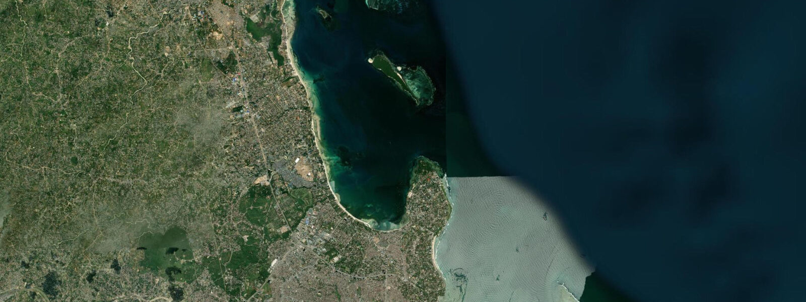
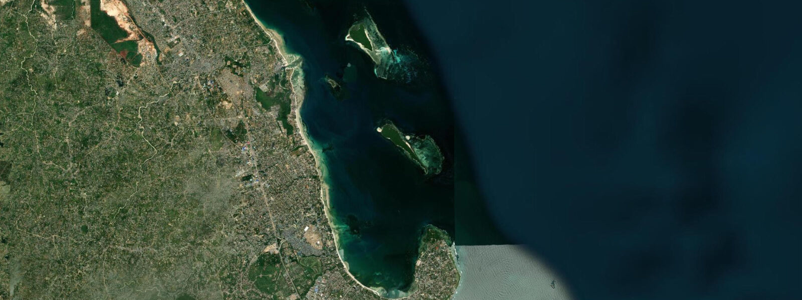
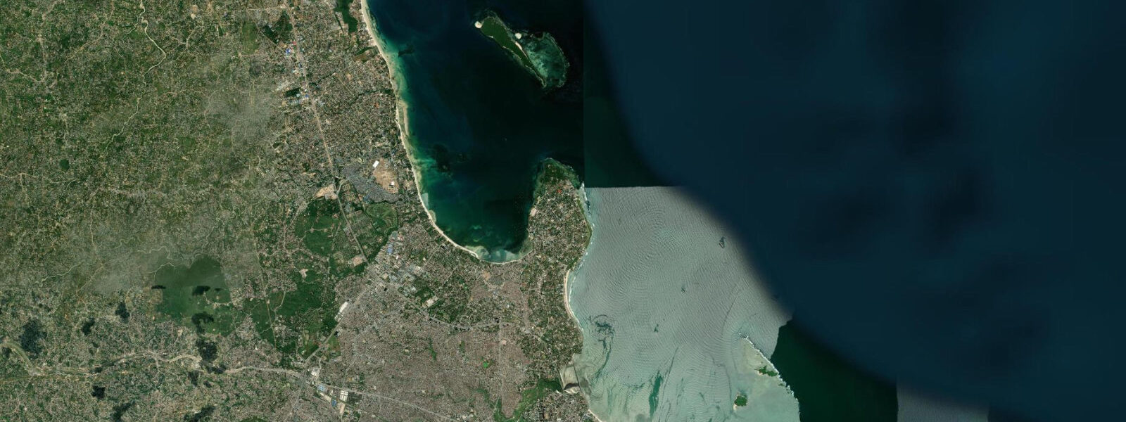
Bongoyo Island is a small coral island 3 kilometres offshore from the Msasani Peninsula in northern Dar es Salaam, within the Dar es Salaam Marine Reserve and accessible only by water taxi from the Slipway. The island is roughly 600 metres long and 200 metres wide, oriented north-south, with a west-facing beach and a south-facing beach sheltered by the island's bulk from the northeast trades. The north side faces open water and has a fringing reef in reasonable condition by the standard of mainland near-shore reefs.
The water-taxi run from the Slipway takes 20 minutes in calm conditions; the boat tracks northeast across Msasani Bay and then north past the Mbudya Island approach before angling toward Bongoyo's western beach. The approach to the island requires crossing a shallow sandbar on the Msasani Bay side; at spring low water this bar has as little as 0.8 metres of depth and late-afternoon water-taxi departures may be modified or cancelled. The island boat schedule posted at the Slipway jetty is calibrated to the tidal window, but departures can shift by 30 to 45 minutes on spring low-water days. Visitors planning a full day on Bongoyo should note the latest safe return departure time before leaving the jetty.
The two beaches on Bongoyo respond differently to the tidal cycle. The west-facing beach is calmer, with clear water over white sand that widens at low water as the tidal flat exposes — at spring low, the beach grows by 30 to 50 metres and the snorkelling in the shallows improves because the water is clearer over the clean sand. The south-facing beach is more exposed and has occasional swell-driven shore break; at high water the beach narrows significantly and the water reaches the shoreline trees at very high spring tides.
The snorkelling reef on the north side of the island is the main draw. The reef runs along the north and northeast face, with coral in reasonable condition — better than the turbid near-shore reefs inside Msasani Bay, though not as pristine as the more remote islands at the outer edge of the Dar es Salaam Marine Reserve. The best snorkelling is at mid-flood to high water, when the reef is submerged to at least 1.5 metres and the water clarity is at its peak over the reef heads. At low water, some sections of the inner reef flat are close to the surface and swell can make contact with the coral a hazard. The outer reef drop-off on the north face is diveable at any tidal state, though visibility is highest on a rising tide before the ebb resuspends fine sediment from the bay bottom.
Bongoyo has a small ranger post and basic facilities: shade shelters, a simple food and drinks counter, and basic toilets. There is no fresh water on the island. The ranger post collects a small entry fee (Tanzania National Parks Authority rate applies to non-residents). Visitors are requested to stay on the established beach and snorkel areas — the interior is low scrub and bird habitat, with nesting seabirds using the northern end of the island.
For families with children, Bongoyo offers a calm and safe environment in the sheltered bay water at low to mid tide: warm water (26 to 28 degrees Celsius), white sand bottom visible through the clear water, and no boat traffic on the beach side. The main safety consideration is the return boat schedule — the last boat back to the Slipway is the hard constraint, and missing it leaves visitors stranded overnight without facilities. Check the last departure time at the jetty before leaving Msasani, and build in a 30-minute margin against tidal delays.
Tide predictions for Bongoyo Island come from Open-Meteo Marine, a gridded global ocean model. Accuracy is typically plus or minus 45 minutes on timing and 0.2 to 0.3 metres on height. The Tanzania Ports Authority Dar es Salaam gauge is the authoritative reference. These predictions are not for navigation.
Tide questions about Bongoyo Island
Quick answers to the most common questions about tide times, range, and water access at Bongoyo Island.
How do I get to Bongoyo Island and does the tide affect the boat schedule?
Water taxis to Bongoyo Island depart from the Slipway jetty on the Msasani Peninsula in northern Dar es Salaam. The crossing takes 20 minutes and boats run approximately every 30 to 60 minutes depending on demand. Tidal state affects the schedule: the approach to the island crosses a sandbar in Msasani Bay that has approximately 0.8 metres of depth at spring low water. On spring low-water days, late-afternoon departures may be delayed or cancelled. Check the predicted low water time on this page before planning your trip; if spring low water falls between 14:00 and 17:00, confirm the last-return departure time with the Slipway jetty in the morning. Missing the last boat means an unplanned overnight stay with no facilities.
When is the best time to snorkel at Bongoyo Island?
The snorkelling reef on the north side of Bongoyo is best at mid-flood to high water — roughly from 2 hours after low water to 1 hour after high water. At this tidal state the inner reef flat is submerged to 1.5 to 2.5 metres, the coral heads are fully covered, and water clarity is at its peak. At low water, the inner reef flat is close to the surface and swell can push snorkellers onto the coral; the shallowing is gradual rather than sudden but requires awareness. The outer reef drop-off on the north face is diveable at any tidal state. Water temperature is 26 to 28 degrees Celsius year-round; a 3 mm shorty is comfortable for extended dives but not required.
Is Bongoyo Island safe for children?
Bongoyo is a family-friendly marine reserve day-trip destination. The western beach at low to mid water is calm and clear, with warm water over white sand at ankle to waist depth for children at 10 to 30 metres from the shore. There is no dangerous wildlife on the beach; sea urchins in the rocky sections require sandals or water shoes when walking away from the sandy beach. The main operational risk for families is the water-taxi schedule — confirm the last return departure before leaving the Slipway jetty. There is no on-island medical facility; any first-aid requirement means a 20-minute boat ride back to the mainland. Bring sunscreen (reef-safe), water, and food; the island has only a basic drinks counter.
What marine life is visible at Bongoyo?
The reef on Bongoyo's north side has hard coral in reasonable condition for an Indian Ocean near-shore reef in a developing urban setting. Species commonly seen include parrotfish (scaridae), surgeonfish (acanthuridae), butterflyfish (chaetodontidae), and occasional small reef sharks in the deeper sections of the outer drop-off. The sandy lagoon on the western side holds sand-dwelling species — flat-tail mullet, small rays, and sea cucumbers across the tidal flat. At spring low water, the exposed tidal flat adjacent to the south beach holds tide pools with small crabs, hermit crabs, and reef-associated invertebrates. Hawksbill turtles (eretmochelys imbricata) have been sighted feeding on the reef; sightings are not guaranteed but the reef condition is adequate to support resident turtles.
Where do the tide predictions for Bongoyo Island come from?
Open-Meteo Marine, a gridded global ocean model, generates the tidal height predictions shown on this page. The model estimates height from a geographic grid rather than from local gauge harmonic analysis. Accuracy is typically plus or minus 45 minutes on timing and 0.2 to 0.3 metres on height. For the Bongoyo water-taxi planning specifically, the relevant datum is the depth over the Msasani Bay sandbar on the approach to the island, which requires at least 0.8 metres of tidal height to clear. Cross-reference the predicted low water height against this threshold when planning a late-afternoon visit. The Tanzania Ports Authority Dar es Salaam gauge is the authoritative source for tidal data in this area.
8-day tide table — Bongoyo Island
Heights relative to MSL. Predictions: Open-Meteo Marine (MeteoFrance SMOC, 0.08° grid) — heights relative to MSL (not chart datum / LAT). Model-derived.
| Day | Type | Time | Height |
|---|---|---|---|
| Sun 21 Jun | Low | 03:00 | -0.6m |
| High | 08:18 | 1.5m | |
| Low | 14:20 | -0.4m | |
| High | 20:32 | 1.4m | |
| Mon 22 Jun | Low | 02:48 | -0.6m |
| High | 09:16 | 1.4m | |
| Low | 15:26 | -0.3m | |
| High | 21:33 | 1.1m | |
| Tue 23 Jun | Low | 03:45 | -0.4m |
| High | 10:26 | 1.3m | |
| Low | 16:46 | -0.2m | |
| High | 22:46 | 0.9m | |
| Wed 24 Jun | Low | 04:50 | -0.3m |
| High | 11:36 | 1.3m | |
| Low | 18:07 | -0.2m | |
| Thu 25 Jun | High | 00:06 | 0.9m |
| Low | 06:00 | -0.3m | |
| High | 12:45 | 1.4m | |
| Low | 19:15 | -0.4m | |
| Fri 26 Jun | High | 01:16 | 0.9m |
| Low | 07:03 | -0.3m | |
| High | 13:38 | 1.5m | |
| Low | 20:11 | -0.5m | |
| Sat 27 Jun | High | 02:10 | 1.0m |
| Low | 07:54 | -0.4m | |
| High | 14:23 | 1.6m | |
| Low | 20:53 | -0.6m | |
| Sun 28 Jun | High | 02:00 | 1.1m |