Kunduchi Beach tide times
Kunduchi Beach tide forecast — heights relative to MSL.
Today's tide times for Kunduchi Beach
Tide times at Kunduchi Beach on Sunday, 21 June 2026: first low tide at 03:00am, first high tide at 08:18am, second low tide at 02:20pm, second high tide at 08:32pm. Sunrise 06:32am, sunset 06:16pm.
Tide chart for Kunduchi Beach
24-hour cosine-interpolated curve around the present moment. Heights relative to MSL. Predictions: Predictions: Open-Meteo Marine (MeteoFrance SMOC, 0.08° grid).
Sun, moon and conditions on Sun 21 Jun
Snapshot at build time — refreshes daily. Sea state from Open-Meteo Marine.
Highs and lows next 7 days
Every predicted high and low for the next week, with the daily tidal coefficient (0–120; higher = bigger swing, > 95 means stronger currents).
Other spots nearby
The three closest curated TideTurtle locations to Kunduchi Beach, measured by great-circle distance.
Today's solunar windows
Solunar tradition: major periods are the ≈3h windows around moon transit and opposition; minor are ≈2h around moonrise and moonset. Pair with the local tide stage and wind for the best read.
Cycle dates near Kunduchi Beach
Last spring tide on Sun 21 Jun (range 2.1m). Next spring tide on Sat 27 Jun (range 2.3m). Next neap on Mon 22 Jun.
Spring tides cluster around new and full moons (biggest swings). Neap tides land on quarter moons (smallest swings). See the spring tide and neap tide glossary entries for the why.
About tides at Kunduchi Beach
A short guide to the coastline at Kunduchi Beach — geography, sea state, and what the tide is actually doing under your feet.
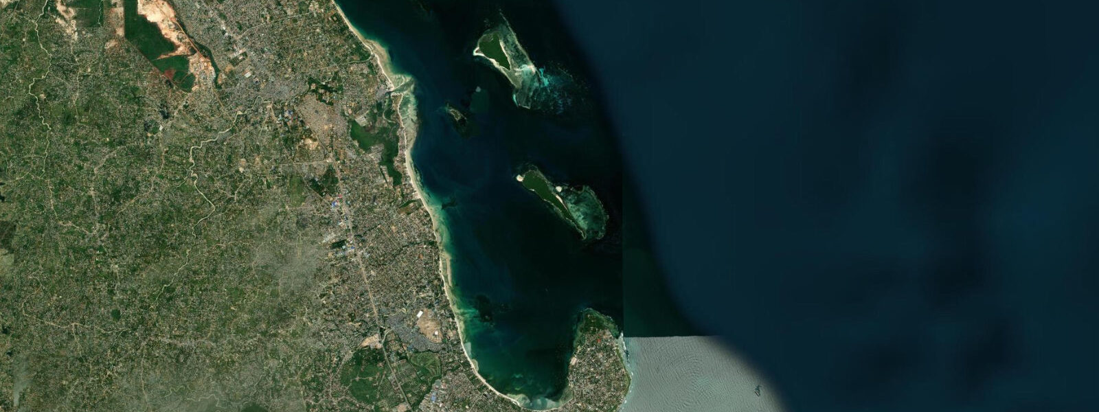
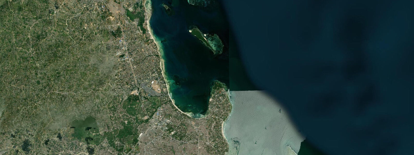
Kunduchi Beach is 15 kilometres north of central Dar es Salaam, at the point where the city's northern suburban spread begins to give way to the rural coastal strip. The beach runs northeast along the edge of a tidal flat backed by mangrove creek fingers that extend inland from the shoreline — a landscape that alternates between open beach at low water and dense mangrove at high water, with the transition visible in real time as the tide moves.
The tidal range at Kunduchi follows the Dar es Salaam coast pattern: spring range approximately 3.0 metres, neap range around 1.3 to 1.5 metres, semidiurnal rhythm with diurnal inequality. At low spring water the tidal flat at Kunduchi is wide — wider than at Coco Beach further south, because the beach gradient is gentler and the coastal plain shallower. The flat exposes to 250 to 350 metres from the beach edge at spring low water, and the mangrove creek mouths drain to narrow muddy channels. At high water, the flat is covered, the creek mouths fill, and the mangrove interiors become navigable by small boats — specifically by dugout canoe, which is the traditional means of moving through the mangrove system at high water.
The mangrove creeks at Kunduchi are active at both tidal extremes, but differently. At high water, the creeks are navigable by canoe from the beach into the mangrove interior — the paddling is quiet and sheltered, through the red mangrove root systems and past the grey mud banks where fiddler crabs and mud skippers work the margins. At low water, the creeks drain to ankle-deep flows over mud and the mangrove roots emerge as an exposed tangle — walkable in places but slow and muddy. The best canoe access window is from mid-flood through to mid-ebb, a period of 4 to 5 hours centred on high water.
Shore fishing at Kunduchi is popular with Dar residents who drive north on weekends to fish the incoming tide. The primary target species are snapper (various lutjanidae species) and kingfish (scomberomorus commerson) on the incoming flood, with threadfin salmon (polydactylus species) and grunter (haemulidae) in the mangrove creek mouths on the high-water slack. Local technique for the open beach is surf casting — weighted bait rigs thrown 40 to 80 metres beyond the low-water line and fished on the incoming tide as the water rises over the flat. The most productive window is from 2 hours before low water through the first 3 hours of flood, when the current carries baitfish over the sand and larger predators follow.
Kunduchi was historically one of Dar es Salaam's main resort areas — the Kunduchi Wet and Wild water park operated on the beach from the early 2000s. The resort infrastructure has declined but the beach itself is accessible, and the reduced commercial activity means the shore-fishing and beach-walking conditions are less congested than at Coco Beach closer to the city centre. The main beach access point is from the Kunduchi Beach Hotel road, which passes through the beach village before reaching the shore.
For photographers and birdwatchers, the mangrove creek mouth at the northern end of the beach is productive at both low and high water. At low water, wading birds — grey herons (ardea cinerea), little egrets (egretta garzetta), and occasional purple herons (ardea purpurea) — work the exposed mud at the creek mouths. At high water, the roseate terns and lesser crested terns that roost on the offshore sand spit become active over the flooded flat, diving for small fish pushed to the surface by the incoming tide. The light is best from 06:30 to 08:30 in the morning for bird photography at the creek mouth.
Tide predictions for Kunduchi Beach come from Open-Meteo Marine, a gridded global ocean model. Accuracy is typically plus or minus 45 minutes on timing and 0.2 to 0.3 metres on height. The Tanzania Ports Authority Dar es Salaam gauge is the authoritative tidal reference for this section of coast. These predictions are not for navigation.
Tide questions about Kunduchi Beach
Quick answers to the most common questions about tide times, range, and water access at Kunduchi Beach.
Can I explore the mangrove creeks at Kunduchi by canoe?
Yes. The mangrove creeks at Kunduchi are navigable by dugout canoe from mid-flood through to mid-ebb — a window of roughly 4 to 5 hours centred on high water, when the creek depth is at least 0.5 metres throughout the navigable section. At low water the creeks drain to shallow, muddy channels that are too shallow for canoes. Local fishermen and village residents use the creeks for both fishing and transport; canoe hire is available through the beach village at the Kunduchi access point. The interior mangrove is dark, sheltered, and home to fiddler crabs, mud skippers, and mangrove kingfishers. Bring footwear that can get muddy and expect to portage over shallow sections near the inner edges.
When is the best time for shore fishing at Kunduchi?
Shore fishing at Kunduchi is most productive on the incoming flood tide, from roughly 2 hours before low water through the first 3 hours of flood. The rising water carries baitfish over the wide tidal flat and snapper, kingfish, and threadfin salmon follow the current edge. Surf-cast bait rigs are the standard method on the open beach: 40 to 80 metres beyond the low-water line, weighted sinker, bait fished on the bottom. For mangrove creek mouth fishing, target the first hour of flood as the water rises into the creek and grunter and snapper move from the flat into the creek shelter. Early morning (05:30 to 08:30) on the incoming tide is the optimal combination — lowest light, most active feeding, and quieter beach with fewer people. The angler tradition that rates fishing by solunar periods adds a secondary filter; major periods during the early-morning flood window score highest.
What birds can I see at Kunduchi Beach?
The mangrove creek mouth at the northern end of Kunduchi Beach is the most productive birding spot, with different species active at different tidal states. At low water, wading birds work the exposed mud: grey herons, little egrets, and occasional purple herons in the shallow creek channels. At high water, terns become active over the flooded flat — roseate terns and lesser crested terns are regular, with occasional Sandwich terns. The palm trees behind the beach hold golden palm weavers and African paradise flycatchers. The beach itself at any tidal state attracts crabs plovers (dromas ardeola) — a distinctive Indian Ocean coastal species most easily identified by its oversized black bill. Best light for photography is from 06:30 to 08:30.
Is Kunduchi Beach accessible by public transport from Dar es Salaam?
Kunduchi is 15 kilometres north of central Dar es Salaam. Daladalas (shared minibuses) run from Mwenge terminal north through Mikocheni toward Kunduchi; the journey takes 30 to 60 minutes depending on traffic. Boda-boda motorcycle taxis are available for the final section from the main road to the beach access point. By private taxi from the city centre, the journey is 25 to 45 minutes in normal traffic (longer in the morning rush on the Bagamoyo Road). There is no scheduled water-taxi service from Dar city to Kunduchi — all access is by road. The beach itself has no entry fee or formal gate; park at the Kunduchi Beach Hotel area or the village access track.
Where do the tide predictions for Kunduchi Beach come from?
Open-Meteo Marine, a gridded global ocean model. The model calculates tidal height from a geographic grid rather than from harmonic analysis of a local gauge. Accuracy is typically plus or minus 45 minutes on timing and 0.2 to 0.3 metres on height. The Tanzania Ports Authority (TPA) publishes authoritative annual tide tables for the Dar es Salaam gauge, which is the closest authoritative reference point for Kunduchi — approximately 15 kilometres south. These predictions are not for navigation, port operations, or commercial vessel planning.
8-day tide table — Kunduchi Beach
Heights relative to MSL. Predictions: Open-Meteo Marine (MeteoFrance SMOC, 0.08° grid) — heights relative to MSL (not chart datum / LAT). Model-derived.
| Day | Type | Time | Height |
|---|---|---|---|
| Sun 21 Jun | Low | 03:00 | -0.6m |
| High | 08:18 | 1.5m | |
| Low | 14:20 | -0.4m | |
| High | 20:32 | 1.4m | |
| Mon 22 Jun | Low | 02:48 | -0.6m |
| High | 09:16 | 1.4m | |
| Low | 15:26 | -0.3m | |
| High | 21:33 | 1.1m | |
| Tue 23 Jun | Low | 03:45 | -0.4m |
| High | 10:26 | 1.3m | |
| Low | 16:46 | -0.2m | |
| High | 22:46 | 0.9m | |
| Wed 24 Jun | Low | 04:50 | -0.3m |
| High | 11:36 | 1.3m | |
| Low | 18:07 | -0.2m | |
| Thu 25 Jun | High | 00:06 | 0.9m |
| Low | 06:00 | -0.3m | |
| High | 12:45 | 1.4m | |
| Low | 19:15 | -0.4m | |
| Fri 26 Jun | High | 01:16 | 0.9m |
| Low | 07:03 | -0.3m | |
| High | 13:38 | 1.5m | |
| Low | 20:11 | -0.5m | |
| Sat 27 Jun | High | 02:10 | 1.0m |
| Low | 07:54 | -0.4m | |
| High | 14:23 | 1.6m | |
| Low | 20:53 | -0.6m | |
| Sun 28 Jun | High | 02:00 | 1.1m |