Kenting tide times
Kenting tide forecast — heights relative to MSL.
Today's tide times for Kenting
Tide times at Kenting on Sunday, 21 June 2026: first low tide at 08:00am, first high tide at 10:22am, second low tide at 05:42pm. Sunrise 05:14am, sunset 06:42pm.
Tide chart for Kenting
24-hour cosine-interpolated curve around the present moment. Heights relative to MSL. Predictions: Predictions: Open-Meteo Marine (MeteoFrance SMOC, 0.08° grid).
Sun, moon and conditions on Sun 21 Jun
Snapshot at build time — refreshes daily. Sea state from Open-Meteo Marine.
Highs and lows next 7 days
Every predicted high and low for the next week, with the daily tidal coefficient (0–120; higher = bigger swing, > 95 means stronger currents).
Other spots nearby
The three closest curated TideTurtle locations to Kenting, measured by great-circle distance.
Today's solunar windows
Solunar tradition: major periods are the ≈3h windows around moon transit and opposition; minor are ≈2h around moonrise and moonset. Pair with the local tide stage and wind for the best read.
Cycle dates near Kenting
Last spring tide on Sun 21 Jun (range 0.7m). Next spring tide on Sat 27 Jun (range 1.0m). Next neap on Wed 24 Jun.
Spring tides cluster around new and full moons (biggest swings). Neap tides land on quarter moons (smallest swings). See the spring tide and neap tide glossary entries for the why.
About tides at Kenting
A short guide to the coastline at Kenting — geography, sea state, and what the tide is actually doing under your feet.
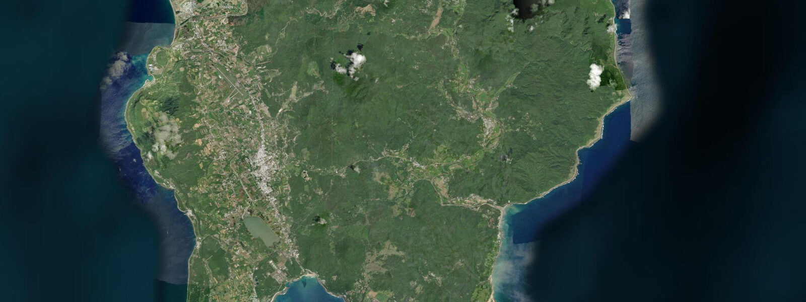
Kenting is Taiwan's southernmost coastal district, the tip of the Hengchun Peninsula where the South China Sea and the Philippine Sea meet at the island's lowest point. The national park — Taiwan's first, established in 1984 — covers both coasts of the peninsula and the interior limestone plateau, protecting the most diverse marine environment in the country. 5 m.
The South China Sea side, where most of Kenting's resort beaches sit, faces southwest and receives the dominant swell from that direction in summer. The Pacific-facing east coast of the peninsula runs rougher and less developed. Fringing coral reefs extend along much of the peninsula's nearshore — Kenting's reefs are the most accessible in Taiwan for casual snorkellers and divers, reachable directly from the beach in some locations.
Visibility in the clear water is routinely 10 to 20 m on calm days. Low-tide reef walking exposes the upper reef flat, but this damages live coral — established practice and national park regulations prohibit walking on the reef at any tide state. Snorkelling and SCUBA from the beach or from small local dive boats is the correct access mode.
The Kenting main street (Kenting Dajie) runs through the resort village perpendicular to the beach, with the night market active every evening. The beach immediately fronting the resort zone is wide at low water; the 1 m range leaves a noticeable difference in beach width. The Hengchun township 10 km north is the gateway to the national park and holds the only remaining intact walled city in southern Taiwan — the Hengchun Old City walls (1879) ring the town centre.
3 m on height.
Tide questions about Kenting
Quick answers to the most common questions about tide times, range, and water access at Kenting.
What is the tidal range at Kenting?
Mean tidal range at Kenting is approximately 1.0 m — mixed semidiurnal, with two highs and two lows per day. Spring tides at new and full moons push toward 1.4 m; neap tides can reduce the daily range to 0.5 m or less. The South China Sea geometry at the tip of the Hengchun Peninsula produces a more attenuated tidal signal than Taiwan's Pacific northeast coast.
Is snorkelling good at Kenting, and does the tide affect it?
Kenting has the most accessible coral-reef snorkelling in Taiwan — fringing reefs in 1 to 5 m of water reachable directly from several beaches in the national park. Water clarity is typically 10 to 20 m on calm days. Tide state affects snorkel conditions: mid- to high tide puts more water over the shallow reef flat, makes entry easier, and reduces the risk of accidental contact with the coral. Low-tide reef walking is prohibited in the national park to protect the live coral. Enter the water from the sandy patches between reef sections, not by walking across the reef.
What is the best time of year to visit Kenting?
October through April: the northeast monsoon season. The South China Sea side of the peninsula is sheltered from the northeast wind, producing calmer sea and better water clarity for snorkelling and diving. Summer (May through September) brings warmer water but also the annual 'Luoshan' southwest wind event and summer typhoon season, which can close beaches for days at a time. The Hengchun area is Taiwan's warmest winter destination — a consistent draw for Taiwanese and Japanese visitors escaping the cool north.
What is the Hengchun Old City near Kenting?
Hengchun township, 10 km north of the Kenting resort zone, contains Taiwan's best-preserved walled city. The Hengchun Old City walls — completed in 1879 during the Qing dynasty — ring the historic town centre with four original gates still standing. The walls are walkable; the south gate and the surrounding old streets hold the highest concentration of period architecture. It is one of only a handful of intact historical city wall systems remaining in Taiwan and a worthwhile half-day visit when combined with the national park beaches.
Are tide predictions for Kenting guaranteed to be accurate?
No prediction is guaranteed. Data on this page comes from Open-Meteo Marine modelling (typical accuracy ±45 minutes on timing, ±0.2–0.3 m on height) and is intended as planning guidance only. The Central Weather Administration (CWA) is the authoritative source for tidal predictions in Taiwan. Tidal predictions at the southern tip of the peninsula can differ slightly between the South China Sea and Pacific sides — CWA's Kenting gauge data is the reference for the national park area. This site does not accept responsibility for decisions made based on these predictions.
8-day tide table — Kenting
Heights relative to MSL. Predictions: Open-Meteo Marine (MeteoFrance SMOC, 0.08° grid) — heights relative to MSL (not chart datum / LAT). Model-derived.
| Day | Type | Time | Height |
|---|---|---|---|
| Sun 21 Jun | Low | 08:00 | 0.9m |
| High | 10:22 | 1.1m | |
| Low | 17:42 | 0.4m | |
| Mon 22 Jun | High | 00:10 | 0.8m |
| Low | 18:18 | 0.5m | |
| Tue 23 Jun | High | 01:06 | 1.0m |
| Low | 07:18 | 0.6m | |
| High | 12:45 | 0.9m | |
| Low | 19:00 | 0.5m | |
| Wed 24 Jun | High | 01:54 | 1.1m |
| Low | 08:50 | 0.5m | |
| High | 14:18 | 0.8m | |
| Thu 25 Jun | Low | 10:04 | 0.4m |
| High | 16:00 | 0.7m | |
| Low | 20:15 | 0.5m | |
| Fri 26 Jun | High | 03:12 | 1.2m |
| Low | 10:47 | 0.3m | |
| High | 16:45 | 0.7m | |
| Low | 20:54 | 0.5m | |
| Sat 27 Jun | High | 04:00 | 1.2m |
| Low | 11:37 | 0.2m | |
| Sun 28 Jun | High | 04:36 | 1.2m |
| Low | 07:00 | 1.0m |