
Taitung tide times
Taitung tide forecast — heights relative to MSL.
Today's tide times for Taitung
Tide times at Taitung on Sunday, 21 June 2026: first low tide at 08:00am, first high tide at 09:56am. Sunrise 05:11am, sunset 06:42pm.
Tide chart for Taitung
24-hour cosine-interpolated curve around the present moment. Heights relative to MSL. Predictions: Predictions: Open-Meteo Marine (MeteoFrance SMOC, 0.08° grid).
Sun, moon and conditions on Sun 21 Jun
Snapshot at build time — refreshes daily. Sea state from Open-Meteo Marine.
Highs and lows next 7 days
Every predicted high and low for the next week, with the daily tidal coefficient (0–120; higher = bigger swing, > 95 means stronger currents).
Other spots nearby
The three closest curated TideTurtle locations to Taitung, measured by great-circle distance.

Today's solunar windows
Solunar tradition: major periods are the ≈3h windows around moon transit and opposition; minor are ≈2h around moonrise and moonset. Pair with the local tide stage and wind for the best read.
Cycle dates near Taitung
Next spring tide on Sat 27 Jun (range 1.2m). Next neap on Thu 25 Jun.
Spring tides cluster around new and full moons (biggest swings). Neap tides land on quarter moons (smallest swings). See the spring tide and neap tide glossary entries for the why.
About tides at Taitung
A short guide to the coastline at Taitung — geography, sea state, and what the tide is actually doing under your feet.
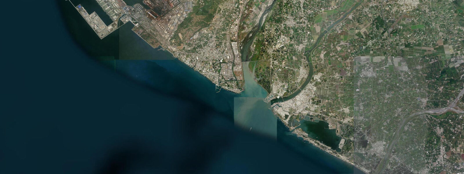
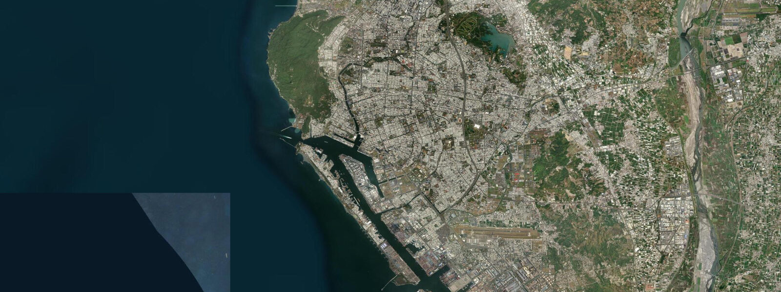
Taitung is the main city of southeastern Taiwan, where the East Rift Valley meets the coast and the Pacific opens eastward toward the Philippine Sea. The city sits on the flat alluvial plain at the mouth of the Beinan River, behind a low barrier beach; the old Taitung city centre (Beinan area) is a few kilometres inland, and development has pushed toward the Beinan River mouth and the coastal strip. Taitung is the departure point for ferry services to Green Island (Lyudao) and Orchid Island (Lanyu), and the domestic airport serves flights from Taipei.
The tidal regime at Taitung is semidiurnal and Pacific-driven, consistent with the rest of eastern Taiwan. Spring range at Taitung runs approximately 1.8 to 2.3 m — slightly smaller than Hualien to the north due to coastal geometry and the influence of the Bashi Channel to the south. Two near-equal highs and two near-equal lows per day, with the standard spring-neap variation around the lunar cycle. The Taiwan Central Weather Bureau (CWB) publishes authoritative tide predictions for Taitung.
The East Rift Valley is the dominant inland feature from Taitung. The valley runs 180 km north to Hualien between two parallel mountain ranges — the Central Range to the west and the Coastal Range to the east — and is an active tectonic structure; the eastern flank of Taiwan experiences significant seismic activity, and the valley floor has been the site of multiple significant earthquakes over the past century. The hot springs at Zhiben (Zhipen), 14 km southwest of Taitung city, are a legacy of this geological activity: thermal water at 45 to 50°C emerges in the Zhiben River valley in a setting of forested hills with a karst-like limestone character.
Shanyuan Bay is a sheltered crescent beach roughly 20 km north of Taitung on the coastal highway. The bay is protected from direct Pacific swell by a headland; the water is calmer than the more exposed sections of the east coast and the beach is good for swimming in conditions that might make the fully exposed beaches uncomfortable. The Taitung Forest Park, created from former airport land on the Beinan River sandbar, runs along the coast immediately south of the city and connects to the Beinan River mouth estuary — a birding area, a popular cycle route, and a place where the low-energy tidal flat environment contrasts with the exposed Pacific coast a short distance away.
The Beinan River mouth and the tidal flat on the inner side of the barrier beach are influenced by both river discharge and tidal stage. At spring low water the tidal flat between the barrier beach and the coastal forest park exposes a sandy zone used by migratory shore birds and accessible by the cycle path network. The Beinan River mouth position shifts seasonally with sand bar movement, as is common on barrier beach coasts in Taiwan where large rivers deposit significant sediment.
The Amis Harvest Festival and various other Indigenous cultural events in the Taitung area typically run in summer (July through August) — the same season with the highest typhoon probability. If attending summer events, build schedule flexibility around typhoon alerts issued by the CWB, which cover eastern Taiwan with good lead time.
The Fugang fishing port, 15 km north of Taitung city on the coastal highway, is the embarkation point for ferries to Green Island and Orchid Island. The port itself is small; the ferry pier is tide-insensitive at the Taitung coast's spring range of 1.8 to 2.3 m. Early morning departures are common on the island ferry schedule, and arriving at the port before dawn in summer for a first-departure ferry is a standard experience for island-bound travellers from Taitung.
Predictions on this page come from Open-Meteo Marine, a gridded global ocean model; accuracy is typically within plus or minus 45 minutes on timing and 0.2 to 0.3 m on height.
Tide questions about Taitung
Quick answers to the most common questions about tide times, range, and water access at Taitung.
When is the next high tide at Taitung?
The hero block at the top of this page shows the next predicted high at Taitung in local Taiwan Standard Time (TST, UTC+8, no daylight saving). Spring range at Taitung is approximately 1.8 to 2.3 m on a semidiurnal pattern — two highs and two lows per day on the 12-hour 25-minute lunar cycle. The Taiwan Central Weather Bureau (CWB) publishes authoritative harmonic tide predictions for Taitung port, computed from gauge-calibrated harmonic analysis and more precise than the Open-Meteo gridded estimate. The CWB also issues typhoon warnings and marine bulletins covering the eastern Taiwan and Philippine Sea zone.
How do I get to Green Island or Orchid Island from Taitung?
Green Island (Lyudao) is 33 km offshore and accessible by ferry (50 minutes, several departures daily in summer) from Fugang fishing port, about 15 km north of Taitung city, or by light aircraft from Taitung airport (15 minutes). Orchid Island (Lanyu) is approximately 90 km to the southeast; ferry service runs from Fugang (2.5 hours) and flights from Taitung airport (25 minutes). Ferry departures are weather-dependent — the Bashi Channel between Taiwan and the Philippines generates significant swell on southerly wind, and crossings are cancelled when wave heights exceed safe thresholds. Summer typhoon season brings the most cancellations. Check the ferry operator's conditions before travel and build schedule flexibility if visiting in July through October.
What are the Zhiben hot springs and where are they?
Zhiben hot springs are approximately 14 km southwest of Taitung city in the Zhiben River valley — accessible by bus or taxi from Taitung city centre. The thermal water (naturally at 45 to 50°C) emerges from geological formations in the active seismic zone beneath the Coastal Range; the springs have been developed into a resort strip of hotels and guesthouses with onsen-style bathing facilities ranging from outdoor pools to private rooms. The hot spring is not tidal — it operates independently of coastal tide conditions. A distinct saltwater hot spring with direct tidal interaction exists on Green Island at Zhaori Hot Spring, which is tide-sensitive and covered on the Green Island page.
Is Shanyuan Bay suitable for swimming?
Shanyuan Bay, roughly 20 km north of Taitung on the Coastal Highway, is more sheltered from direct Pacific swell than the fully exposed east coast sections, making it a more comfortable swimming beach when conditions elsewhere are rough. The tidal range here (1.8 to 2.3 m spring) moves the waterline on the beach by 10 to 15 m between spring high and low; the beach gradient is moderate. Rip currents can form on the falling tide on any east coast Taiwan beach after swell events; follow lifeguard flags if present and avoid swimming in isolated stretches after significant swell. The beach is uncrowded on weekdays outside summer holidays and the October-to-April season gives the most consistent conditions.
Where do these tide predictions come from?
Open-Meteo Marine, a gridded global ocean model. Accuracy is typically within plus or minus 45 minutes on timing and 0.2 to 0.3 m on height. For authoritative Taitung tide data, the Taiwan Central Weather Bureau (CWB) publishes harmonic tide predictions computed from gauge-calibrated analysis — more precise than the Open-Meteo gridded estimate for planning around a specific high or low at Fugang pier for the island ferry, for example. The CWB tide tables for Taitung are publicly accessible. CWB also issues the authoritative typhoon warnings and marine bulletins for the eastern Taiwan coast and the Philippine Sea.
8-day tide table — Taitung
Heights relative to MSL. Predictions: Open-Meteo Marine (MeteoFrance SMOC, 0.08° grid) — heights relative to MSL (not chart datum / LAT). Model-derived.
| Day | Type | Time | Height |
|---|---|---|---|
| Sun 21 Jun | Low | 08:00 | 0.8m |
| High | 09:56 | 1.0m | |
| Mon 22 Jun | Low | 05:04 | 0.3m |
| High | 11:04 | 0.9m | |
| Low | 17:22 | 0.2m | |
| Tue 23 Jun | High | 00:07 | 1.0m |
| Low | 18:12 | 0.4m | |
| Wed 24 Jun | High | 01:04 | 1.0m |
| Low | 07:47 | 0.3m | |
| High | 13:55 | 0.8m | |
| Low | 19:10 | 0.4m | |
| Thu 25 Jun | High | 01:50 | 1.1m |
| Low | 08:52 | 0.2m | |
| High | 15:12 | 0.8m | |
| Fri 26 Jun | Low | 09:43 | 0.1m |
| High | 16:07 | 0.8m | |
| Low | 21:00 | 0.4m | |
| Sat 27 Jun | High | 03:18 | 1.1m |
| Low | 10:20 | -0.1m | |
| High | 16:56 | 0.8m | |
| Low | 21:45 | 0.4m | |
| Sun 28 Jun | High | 03:57 | 1.1m |
| Low | 07:00 | 0.7m |