Marstrand, Västra Götaland tide times
Marstrand, Västra Götaland tide forecast — heights relative to MSL.
Today's tide times for Marstrand, Västra Götaland
Tide times at Marstrand, Västra Götaland on Friday, 19 June 2026: first low tide at 02:00, first high tide at 20:50. Sunrise 04:10, sunset 22:18.
Tide chart for Marstrand, Västra Götaland
24-hour cosine-interpolated curve around the present moment. Heights relative to MSL. Predictions: Predictions: Open-Meteo Marine (MeteoFrance SMOC, 0.08° grid).
Sun, moon and conditions on Fri 19 Jun
Snapshot at build time — refreshes daily. Sea state from Open-Meteo Marine.
Highs and lows next 7 days
Every predicted high and low for the next week, with the daily tidal coefficient (0–120; higher = bigger swing, > 95 means stronger currents).
Other spots nearby
The three closest curated TideTurtle locations to Marstrand, Västra Götaland, measured by great-circle distance.
Today's solunar windows
Solunar tradition: major periods are the ≈3h windows around moon transit and opposition; minor are ≈2h around moonrise and moonset. Pair with the local tide stage and wind for the best read.
Cycle dates near Marstrand, Västra Götaland
Next spring tide on Thu 25 Jun (range 0.4m). Next neap on Sun 21 Jun.
Spring tides cluster around new and full moons (biggest swings). Neap tides land on quarter moons (smallest swings). See the spring tide and neap tide glossary entries for the why.
About tides at Marstrand, Västra Götaland
A short guide to the coastline at Marstrand, Västra Götaland — geography, sea state, and what the tide is actually doing under your feet.
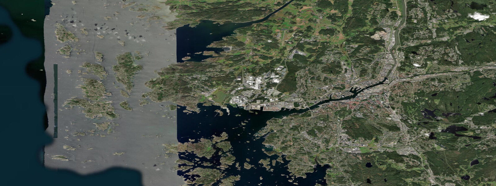
Marstrand sits on a small island off the Bohuslän coast, 45 km north of Gothenburg, separated from the mainland by a short ferry crossing of about three minutes. Cars stay on the mainland side. The island is compact — you walk everywhere — and Carlsten Fortress dominates the skyline from the ridge above the town. The fortress walls drop straight to the sea on the north and west sides, and at low water a narrow rock shelf emerges at the base of the ramparts.
The Kattegat tidal signal at Marstrand is small. Mean astronomical range runs between 0.2 and 0.4 metres — less than the diameter of a fender. What actually governs water level here is wind. A sustained southwesterly over the Kattegat piles water against the Swedish coast and can raise levels by 0.5 metres or more above the astronomical prediction. A northeasterly has the opposite effect, draining the coast and exposing rocks and ledges that don't appear on a calm day. The Swedish Meteorological and Hydrological Institute (SMHI) publishes combined astronomical and wind-forced predictions — checking those alongside this page is worth it when strong winds are in the forecast.
The channel between Marstrand Island and Koön Island — Marstrandsfjorden — narrows to a few hundred metres and produces a noticeable tidal current. Flow rates of 0.5 to 1.0 knots are typical on spring tides; the direction reverses twice daily. Sailors transiting the sound time their passage to take the favourable current, and this becomes a tactical question during Marstrand Race Week, Sweden's premier offshore sailing event. The race fleet anchors in the sound or moors at the town quay; the current through Marstrandsfjorden is a factor in the inshore racing legs, and local knowledge of its timing is a genuine advantage.
Kayakers and paddleboarders use Marstrandsfjorden on the fair-current leg of a loop route connecting Marstrand Island, Koön Island, and the outer skerries. In the summer months the sound sees heavy leisure boat traffic, so paddling early morning or after 18:00 is more comfortable. The outer exposed rocks to the west of the island hold guillemots and eider duck through the season; the approach is easiest at high water when the shallowest rock shelves are covered and passage between them is easier.
Shore fishing from the granite ledges at the island's north end is most productive around slack water. The ledges hold wrasse and perch in the kelp fringe; mackerel appear in the sound in July and August and can be taken on spinning gear from the ferry quay end. The Bohuslän coast has long been associated with herring fishing — the town of Marstrand itself prospered as a herring-salting port in the 17th century, before the herring stocks migrated south and the fishery collapsed. The fortress was built in part to defend that trade.
Carlsten Fortress is the reason most visitors make the crossing. Construction began in 1658 after Sweden acquired Bohuslän from Denmark-Norway under the Treaty of Roskilde, and the fortification was expanded and modified through the 18th century. It served as a prison for much of its history — a role it held until 1881. Guided tours run through the summer season; the view from the upper battery over Marstrandsfjorden and the outer Kattegat is extensive. On a clear day the horizon is open sea.
The town below the fortress is almost entirely built from painted timber in yellow, white, and terracotta — a characteristic Bohuslän palette. The main street follows the sheltered eastern shore; cafes and boat chandleries occupy the ground floors of 19th-century houses. The island population is around 1,200 in winter; in summer the numbers multiply severalfold. Ferry queues on July weekends can be long — the crossing is free and runs continuously, but capacity is limited.
For beach families, the eastern shore below town has a small shingle and shell beach usable at mid-to-high water. The exposed western side of the island is rocky; water temperature reaches 18 to 20°C in July and August. Visibility is typically 2 to 4 metres in the sound, better in the outer skerries.
Tide data for Marstrand, Västra Götaland comes from the Open-Meteo Marine API, a gridded model product. Timing accuracy is ±45 minutes, height accuracy ±0.3 m — usable for trip planning, not for navigation.
Tide questions about Marstrand, Västra Götaland
Quick answers to the most common questions about tide times, range, and water access at Marstrand, Västra Götaland.
What is the tidal range at Marstrand and what actually controls water levels?
The astronomical tidal range at Marstrand is 0.2 to 0.4 metres — one of the smallest in Sweden. Wind has a larger effect on water level than the tide itself. A sustained southwesterly pushing across the Kattegat can raise water by 0.5 metres above the astronomical prediction; a northeasterly drains the coast by a similar amount. For a realistic picture of expected water level, combine the tidal prediction on this page with SMHI's wind-setup forecast, especially when strong winds are in the forecast.
What is the current like through Marstrandsfjorden?
The sound between Marstrand Island and Koön Island produces a tidal current of 0.5 to 1.0 knots on spring tides, reversing direction twice daily. The current is noticeable to kayakers and paddleboarders and is a genuine tactical factor for sailing race teams during Marstrand Race Week. Slack water — the brief window between flow directions — is the quietest time to transit the sound by paddle craft. At other times the current is manageable but requires awareness, particularly in the narrow central section.
Is kayaking or paddleboarding around Marstrand Island suitable for beginners?
The inner sound and the sheltered eastern shore of Marstrand Island are accessible to confident beginners in settled conditions. The outer western side of the island and the exposed skerries beyond face open Kattegat and require sea kayak experience — ocean swell reaches the outer rocks when wind is from the southwest. Summer boat traffic in Marstrandsfjorden is heavy; paddling early morning or in the evening reduces conflict with motorboat wash. Water temperature peaks at 18 to 20°C in July and August; a shorty wetsuit is comfortable.
When is the best time to fish from the rocks at Marstrand?
Slack water at the north end of the island is the most productive window for ledge fishing. The ledges hold wrasse and perch year-round in the kelp fringe below the Carlsten Fortress walls. Mackerel enter the sound in July and August and can be taken on light spinning gear from the ferry quay area; arrival of the mackerel shoals is visible as surface activity in the sound. The Bohuslän herring fishery that once made Marstrand wealthy is a historical footnote — herring are not reliably present today.
How do you get to Marstrand and are cars allowed on the island?
Marstrand is reached by free car ferry from Koön Island on the mainland; the crossing takes about three minutes and runs continuously. Cars are not permitted on Marstrand Island itself — they stay in the mainland car park at the ferry terminal. Public transport from Gothenburg (45 km south) runs to Kungshamn via bus; a connecting local bus reaches the Koön ferry terminal. In July and August ferry queues can be long on weekend afternoons — arriving before 10:00 or after 17:00 avoids the worst of it.
8-day tide table — Marstrand, Västra Götaland
Heights relative to MSL. Predictions: Open-Meteo Marine (MeteoFrance SMOC, 0.08° grid) — heights relative to MSL (not chart datum / LAT). Model-derived.
| Day | Type | Time | Height |
|---|---|---|---|
| Fri 19 Jun | Low | 02:00 | -0.4m |
| High | 20:50 | -0.1m | |
| Sat 20 Jun | Low | 02:54 | -0.4m |
| High | 09:45 | -0.2m | |
| Low | 15:18 | -0.3m | |
| High | 22:00 | -0.1m | |
| Sun 21 Jun | Low | 16:15 | -0.4m |
| High | 22:45 | -0.2m | |
| Mon 22 Jun | Low | 05:00 | -0.5m |
| Tue 23 Jun | High | 00:15 | -0.2m |
| Low | 05:45 | -0.4m | |
| High | 12:20 | -0.2m | |
| Low | 17:50 | -0.4m | |
| Wed 24 Jun | High | 08:00 | -0.3m |
| Low | 09:00 | -0.3m | |
| High | 13:20 | -0.1m | |
| Low | 18:50 | -0.3m | |
| Thu 25 Jun | High | 02:00 | 0.0m |
| Low | 10:10 | -0.3m | |
| High | 14:10 | -0.1m | |
| Low | 20:10 | -0.3m | |
| Fri 26 Jun | High | 01:00 | -0.2m |