Lysekil, Västra Götaland tide times
Lysekil, Västra Götaland tide forecast — heights relative to MSL.
Today's tide times for Lysekil, Västra Götaland
Tide times at Lysekil, Västra Götaland on Friday, 19 June 2026: first low tide at 02:00, first high tide at 08:15, second low tide at 14:00. Sunrise 04:07, sunset 22:23.
Tide chart for Lysekil, Västra Götaland
24-hour cosine-interpolated curve around the present moment. Heights relative to MSL. Predictions: Predictions: Open-Meteo Marine (MeteoFrance SMOC, 0.08° grid).
Sun, moon and conditions on Fri 19 Jun
Snapshot at build time — refreshes daily. Sea state from Open-Meteo Marine.
Highs and lows next 7 days
Every predicted high and low for the next week, with the daily tidal coefficient (0–120; higher = bigger swing, > 95 means stronger currents).
Other spots nearby
The three closest curated TideTurtle locations to Lysekil, Västra Götaland, measured by great-circle distance.
Today's solunar windows
Solunar tradition: major periods are the ≈3h windows around moon transit and opposition; minor are ≈2h around moonrise and moonset. Pair with the local tide stage and wind for the best read.
About tides at Lysekil, Västra Götaland
A short guide to the coastline at Lysekil, Västra Götaland — geography, sea state, and what the tide is actually doing under your feet.
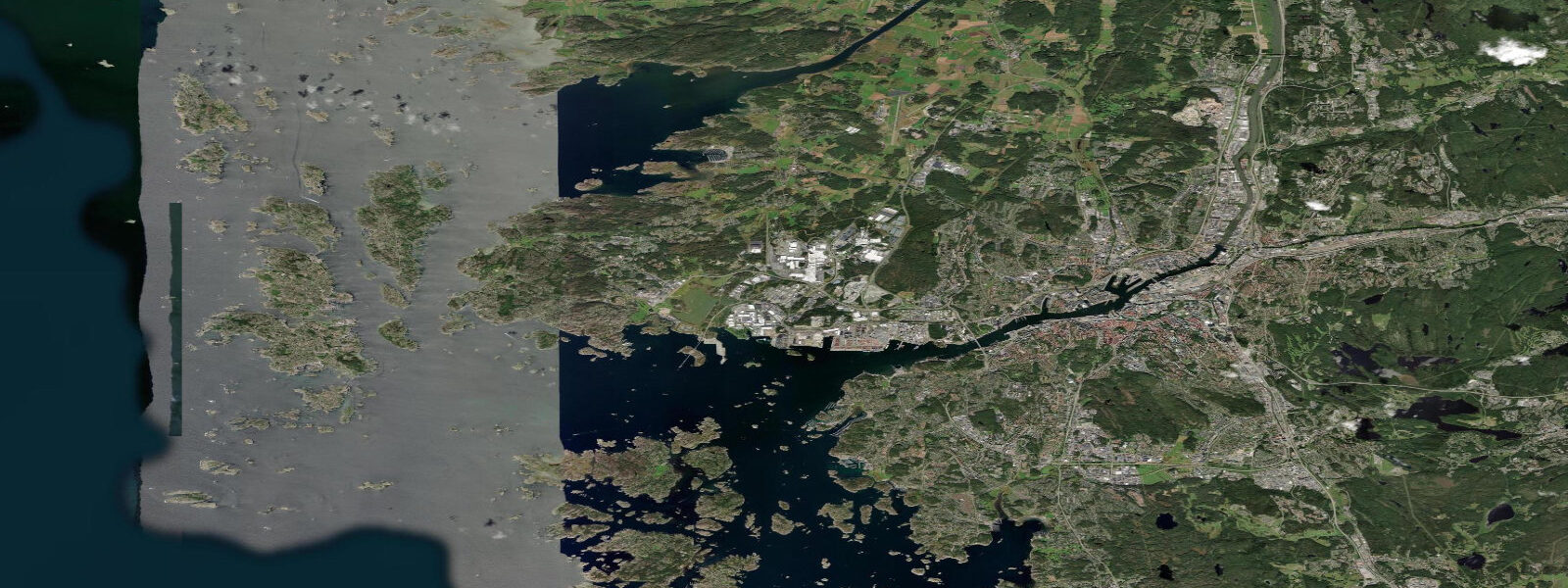
Lysekil occupies a headland at the entrance to Gullmarsfjorden, Sweden's only true sill fjord. To the west, the city faces open Kattegat across a scatter of skerries. To the east, the mouth of Gullmarsfjorden opens into a 27 km channel that reaches all the way to Munkedal at the head of the fjord. The two exposures produce very different water conditions and different opportunities for anyone spending time on the water here.
The tidal regime on the Kattegat side is the same as the rest of the Bohuslän coast: mean astronomical range 0.2 to 0.4 metres, with wind setup the dominant influence on actual water level. The SMHI tide gauge at Lysekil records the combined signal, and the station data shows standard deviations of 0.2 to 0.3 metres driven primarily by meteorological forcing rather than astronomy. A long southwesterly fetch across the Kattegat can push water level 0.5 metres above prediction; persistent northerlies expose the nearshore rocks.
Gullmarsfjorden is in a different category. It is classified as a sill fjord — a 50-metre-deep threshold at the fjord mouth restricts the exchange of deep water between the fjord basin and the open sea. Below the sill depth, the fjord water can become stagnant between renewal events; the bottom fauna reflects this, and the fjord has been studied intensively for over a century. On the surface, the sill creates a tidal dynamic: on the flood tide, lighter surface water from the Kattegat spills over the sill and into the fjord; on the ebb, the direction reverses. Surface tidal currents at the 3-km-wide fjord mouth run 0.5 to 1.0 knots — enough to be felt in a kayak or small sailing boat.
The Sven Lovén Centre for Marine Sciences at Kristineberg, on the south shore of Gullmarsfjorden about 10 km from the fjord mouth, is one of the oldest marine research stations in Scandinavia. Founded in 1877, the station has hosted research on fjord hydrography, marine invertebrates, and the effects of hypoxia (low oxygen) in the fjord's deeper basin. The station is not a public visitor attraction, but the surrounding area is accessible — a walking track follows the fjord shore from Kristineberg toward the mouth, passing through exposed granite and low birch scrub with the fjord below.
Stångehuvud headland, 2 km north of Lysekil harbour, rises 60 metres above the sea and is a well-known viewpoint across the outer Kattegat. The headland is a nature reserve; the walking track from Lysekil takes about 40 minutes each way. The granite surface holds rock pools along the base at low water — the pools are accessible only at the lowest tides and are worth the timing effort for the diversity of invertebrates (sea anemones, brittle stars, and small crabs are typical).
Shore fishing from Lysekil's granite shoreline is a year-round activity. Mackerel run through the outer skerries in July and August; wrasse and perch hold in the kelp beds around the fjord mouth through the season. Herring appear at the Kattegat shore during the spring spawning run — typically March to April — and can be taken in large numbers on small spinners or small flies from the rocks. Incoming tide on the Kattegat side brings bait fish against the shoreline; the junction of the fjord and the open coast at the headland is a productive mark.
Kayaking options split between the sheltered fjord interior and the more exposed outer coast. Gullmarsfjorden is excellent for beginners in settled weather — the fjord walls keep swell out and the only hazard is boat traffic from the Lysekil ferry. The outer skerries west of the headland require sea kayak skills and good weather judgement; the Kattegat can build short, steep seas quickly in westerlies. Water temperature in the fjord reaches 18 to 20°C in the surface layer in July; the open Kattegat side runs slightly cooler.
Lysekil harbour has a modest marina and a fish quay where local boats still land catch. The granite-and-timber townscape is characteristic Bohuslän — coloured wooden houses on rock outcrops above the water. Population around 14,000; the town is quieter than Marstrand and oriented more toward year-round residents than summer tourists.
Tide data for Lysekil, Västra Götaland comes from the Open-Meteo Marine API, a gridded model product. Timing accuracy is ±45 minutes, height accuracy ±0.3 m — usable for trip planning, not for navigation.
Tide questions about Lysekil, Västra Götaland
Quick answers to the most common questions about tide times, range, and water access at Lysekil, Västra Götaland.
What makes Gullmarsfjorden different from other Swedish fjords?
Gullmarsfjorden is Sweden's only true sill fjord — a 50-metre-deep threshold at the mouth restricts the exchange of deep water with the open Kattegat. Below the sill depth, basin water can become hypoxic (depleted of oxygen) between renewal events, creating unusual bottom conditions that have been studied at the Kristineberg marine station since 1877. At the surface, the sill generates tidal flow: incoming surface water spills over the threshold on the flood tide, producing currents of 0.5 to 1.0 knots at the 3-km-wide mouth.
What is the tidal range at Lysekil?
Astronomical tidal range at Lysekil is 0.2 to 0.4 metres — the same small range as the rest of the Bohuslän coast. Wind setup from sustained southwesterlies across the Kattegat can push actual water level 0.5 metres above the astronomical prediction. The SMHI tide gauge at Lysekil publishes combined astronomical and meteorological predictions. When strong winds are forecast, the wind component matters as much as the tide for planning rock access, kayak landings, and harbour approaches.
When does the rock pool access at Stångehuvud open up?
The rock pools at the base of Stångehuvud headland are accessible only during the lower tidal states — ideally within 90 minutes of low water on a falling or rising tide. Given the small tidal range (0.2 to 0.4 m), the difference between average and lowest low water matters; aim for neap low tides on calm days. The pool community includes sea anemones, brittle stars, small crabs, and seaslugs. The granite approach is uneven — footwear with grip is necessary; open sandals are not safe on wet rock.
Is kayaking in Gullmarsfjorden appropriate for beginners?
The inner Gullmarsfjorden is one of the more sheltered kayaking environments on the Swedish west coast — fjord walls eliminate ocean swell, tidal currents at the mouth are manageable (0.5 to 1.0 knots), and emergency landing options are frequent. Ferry traffic between Lysekil and Fiskebäckskil crosses the fjord mouth; stay clear of the ferry lane. The outer Kattegat west of Stångehuvud headland is a different environment — exposed to open sea and short steep waves in westerlies. Do not round the headland without sea kayak experience and a reliable weather window.
What fish can be caught from the shore at Lysekil?
Mackerel run through the outer Lysekil skerries in July and August and can be caught on light spinning gear from the rocks. Wrasse and perch hold in the kelp beds around the fjord mouth throughout the season. In March and April, spring-run herring appear at the Kattegat shore and can be taken in numbers on small spinners or small unweighted flies — the spring herring run is the most productive shore-fishing window of the year. The tidal junction at the Stångehuvud headland, where fjord and open coast meet, concentrates feeding fish on the incoming Kattegat tide.
8-day tide table — Lysekil, Västra Götaland
Heights relative to MSL. Predictions: Open-Meteo Marine (MeteoFrance SMOC, 0.08° grid) — heights relative to MSL (not chart datum / LAT). Model-derived.
| Day | Type | Time | Height |
|---|---|---|---|
| Fri 19 Jun | Low | 02:00 | -0.4m |
| High | 08:15 | -0.1m | |
| Low | 14:00 | -0.4m | |
| Sat 20 Jun | High | 21:50 | -0.1m |
| Sun 21 Jun | — | ||
| Mon 22 Jun | Low | 16:45 | -0.5m |
| Tue 23 Jun | High | 00:15 | -0.2m |
| Low | 05:15 | -0.4m | |
| Wed 24 Jun | — | ||
| Thu 25 Jun | High | 01:50 | 0.1m |
| Low | 09:40 | -0.3m | |
| Fri 26 Jun | High | 01:00 | -0.1m |