Gothenburg, Västra Götaland tide times
Gothenburg, Västra Götaland tide forecast — heights relative to MSL.
Today's tide times for Gothenburg, Västra Götaland
Tide times at Gothenburg, Västra Götaland on Sunday, 26 July 2026: first high tide at 03:00, first low tide at 09:00, second high tide at 09:50, second low tide at 12:10, third high tide at 15:12, third low tide at 21:00. Sunrise 04:52, sunset 21:43.
Tide chart for Gothenburg, Västra Götaland
24-hour cosine-interpolated curve around the present moment. Heights relative to MSL. Predictions: Predictions: Open-Meteo Marine (MeteoFrance SMOC, 0.08° grid).
Sun, moon and conditions on Sun 26 Jul
Snapshot at build time — refreshes daily. Sea state from Open-Meteo Marine.
Highs and lows next 7 days
Every predicted high and low for the next week, with the daily tidal coefficient (0–120; higher = bigger swing, > 95 means stronger currents).
Other spots nearby
The three closest curated TideTurtle locations to Gothenburg, Västra Götaland, measured by great-circle distance.
Today's solunar windows
Solunar tradition: major periods are the ≈3h windows around moon transit and opposition; minor are ≈2h around moonrise and moonset. Pair with the local tide stage and wind for the best read.
Cycle dates near Gothenburg, Västra Götaland
Next spring tide on Tue 28 Jul (range 0.3m). Next neap on Sat 01 Aug.
Spring tides cluster around new and full moons (biggest swings). Neap tides land on quarter moons (smallest swings). See the spring tide and neap tide glossary entries for the why.
About tides at Gothenburg, Västra Götaland
A short guide to the coastline at Gothenburg, Västra Götaland — geography, sea state, and what the tide is actually doing under your feet.
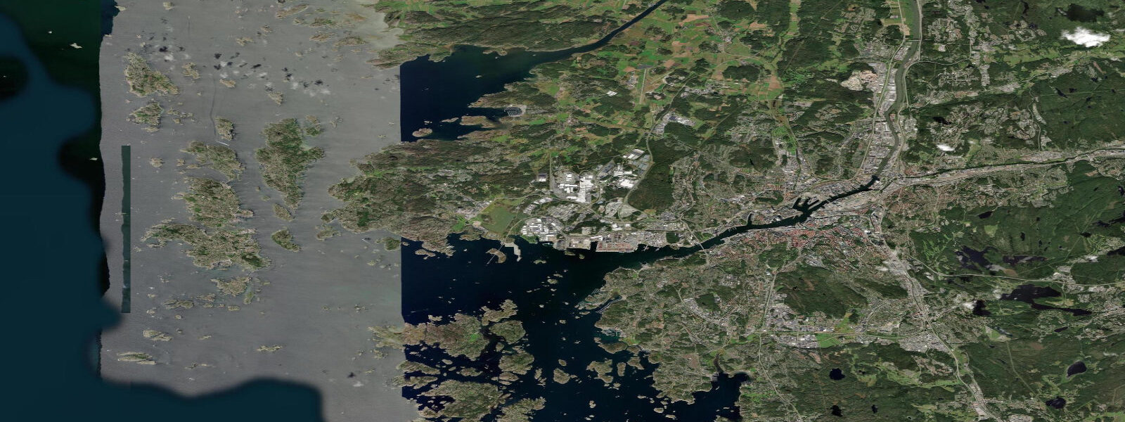
Gothenburg sits at the mouth of the Göta älv on Sweden's western coast, fronting the Kattegat and the southern Skagerrak with the long Bohuslän archipelago of granite skerries running north toward the Norwegian border at Strömstad. This is the only stretch of the Swedish coastline that sees a meaningful astronomical tide. East of the Öresund the Baltic runs a near-flat regime where the long basin and the narrow Danish straits prevent the open-ocean signal from reaching the eastern Swedish coast at any meaningful amplitude — Stockholm reads less than 10 centimetres on a spring tide.
5 metres on the largest spring tides and dropping close to flat on neaps. The astronomical forcing stays small because the Skagerrak is a wide shallow basin off the open ocean rather than a resonant funnel. What matters more on a day-to-day basis is the meteorological tide — sustained westerly gales push water against the Bohuslän archipelago and lift apparent water level 30 to 60 centimetres above predicted, and the same wind drains the Kattegat into the Baltic on the rebound through the Öresund and the Belts.
The Göta älv discharge through the central city adds a freshwater component to the harbour signal that varies with snowmelt and rainfall upstream. The Bohuslän archipelago — Marstrand, Käringön, Gullholmen, the Koster Islands at the Norwegian border — is one of the great cruising grounds of northern Europe, and the lobster fishing season that opens on the last Monday of September is a strict calendar event regardless of tide. The Saltholmen ferry to the southern archipelago, the working container terminal at the Göta älv mouth, the sailing-school fleet out of GKSS at Långedrag, the cold-water swim culture at Saltholmen kallbadhus, and the herring-and-mackerel boats out of Smögen further north all read the wider weather pattern more than the tide table.
Open-Meteo Marine drives the gridded predictions on this page; for authoritative Swedish water-level forecasts, SMHI publishes the official tide and surge products and operates the gauge network at Göteborg, Smögen, and Kungsvik.
Tide questions about Gothenburg, Västra Götaland
Quick answers to the most common questions about tide times, range, and water access at Gothenburg, Västra Götaland.
When is the next high tide at Gothenburg?
The hero block shows the next high tide at the Göteborg port gauge in local Swedish time (CET in winter, CEST in summer, with DST). The 7-day table covers all daily highs and lows. The Smögen gauge in the northern Bohuslän archipelago reads close to the Göteborg timing — the Skagerrak signal propagates the entire coast with only minor phase delay.
What's the typical tide range at Gothenburg?
Mean range is about 0.3 metres at the port gauge — a small semidiurnal signal. Spring tides push close to 0.5 metres and neaps drop close to flat. The astronomical tide here is small because the Skagerrak is a wide shallow basin connected to the open North Sea rather than a resonant funnel. Wind and pressure changes routinely shift apparent water levels 30 to 60 centimetres above or below the predicted astronomical signal.
Where do these tide predictions come from?
Open-Meteo Marine, a gridded global ocean model. Useful for planning the Bohuslän cruising grounds, the Saltholmen ferry windows, and the GKSS sailing-school sessions. For authoritative Swedish water-level forecasts, SMHI publishes the official tide and surge products and operates the gauge network at Göteborg, Smögen, and Kungsvik.
Why does the Swedish east coast not have a real tide while Gothenburg does?
The Baltic Sea east of the Öresund is a long, narrow, almost-enclosed basin connected to the open ocean only through the narrow Danish straits at Öresund, the Great Belt, and the Little Belt. The astronomical tide cannot propagate cleanly through that bottleneck and almost no ocean-tide signal reaches the eastern Swedish coast. Stockholm and the Gulf of Bothnia run a near-flat tidal regime where wind, atmospheric pressure, and freshwater inflow dominate water-level variation. Gothenburg sits on the western side of the Öresund constriction in the open Skagerrak and gets a small but real semidiurnal signal.
Is this safe to use for navigation?
No. For piloting in or out of the Göta älv, transiting the Bohuslän archipelago, or working the lobster grounds at Smögen and the Koster Islands use SMHI authoritative water-level forecasts, the Sjöfartsverket pilotage guidance and notices to mariners, and the local harbour-master windows. Westerly gales can override the astronomical signal entirely and the granite-skerry archipelago demands real navigational sources.
8-day tide table — Gothenburg, Västra Götaland
Heights relative to MSL. Predictions: Open-Meteo Marine (MeteoFrance SMOC, 0.08° grid) — heights relative to MSL (not chart datum / LAT). Model-derived.
| Day | Type | Time | Height |
|---|---|---|---|
| Sun 26 Jul | High | 03:00 | 0.2m |
| Low | 09:00 | 0.0m | |
| High | 09:50 | 0.1m | |
| Low | 12:10 | -0.0m | |
| High | 15:12 | 0.1m | |
| Low | 21:00 | -0.0m | |
| Mon 27 Jul | High | 03:50 | 0.2m |
| Low | 09:50 | -0.0m | |
| Low | 12:50 | -0.0m | |
| High | 16:10 | 0.1m | |
| Low | 22:06 | -0.0m | |
| Tue 28 Jul | High | 04:20 | 0.1m |
| Low | 10:45 | -0.2m | |
| Low | 13:50 | -0.2m | |
| High | 16:42 | -0.0m | |
| Low | 22:42 | -0.2m | |
| Wed 29 Jul | High | 01:00 | -0.2m |
| Low | 02:00 | -0.2m | |
| High | 05:07 | -0.0m | |
| Low | 11:06 | -0.2m | |
| High | 13:10 | -0.2m | |
| Thu 30 Jul | Low | 02:45 | -0.2m |
| High | 06:00 | -0.0m | |
| Low | 11:50 | -0.2m | |
| High | 14:18 | -0.1m | |
| Low | 15:00 | -0.1m | |
| High | 18:21 | 0.0m | |
| Fri 31 Jul | Low | 00:21 | -0.2m |
| High | 06:54 | -0.1m | |
| Low | 16:00 | -0.1m | |
| High | 19:00 | -0.0m | |
| Sat 01 Aug | Low | 01:06 | -0.2m |
| High | 16:15 | -0.1m | |
| Low | 17:00 | -0.1m | |
| High | 19:50 | -0.0m | |
| Sun 02 Aug | Low | 01:00 | -0.2m |