Nynäshamn tide times
Nynäshamn tide forecast — heights relative to MSL.
Tide chart for Nynäshamn
24-hour cosine-interpolated curve around the present moment. Heights relative to MSL. Predictions: Predictions: Open-Meteo Marine (MeteoFrance SMOC, 0.08° grid).
Sun, moon and conditions on Sun 21 Jun
Snapshot at build time — refreshes daily. Sea state from Open-Meteo Marine.
Highs and lows next 7 days
Every predicted high and low for the next week, with the daily tidal coefficient (0–120; higher = bigger swing, > 95 means stronger currents).
Other spots nearby
The three closest curated TideTurtle locations to Nynäshamn, measured by great-circle distance.
Today's solunar windows
Solunar tradition: major periods are the ≈3h windows around moon transit and opposition; minor are ≈2h around moonrise and moonset. Pair with the local tide stage and wind for the best read.
About tides at Nynäshamn
A short guide to the coastline at Nynäshamn — geography, sea state, and what the tide is actually doing under your feet.
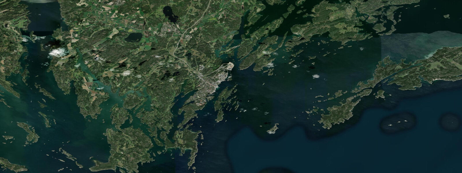
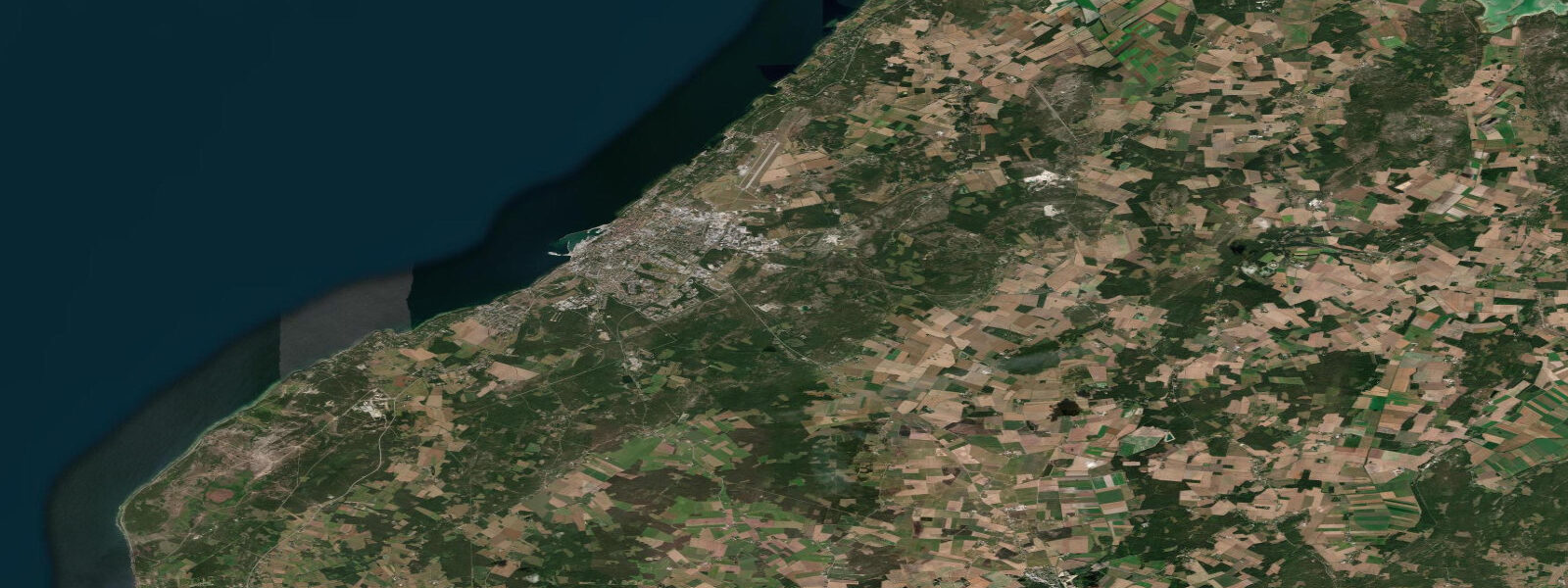
Nynäshamn sits at the southern tip of the Nynäs peninsula on the Baltic coast of Södermanland, roughly 60 km south of Stockholm. It marks the southern terminus of the Stockholm commuter rail (pendeltåg line 43), making it the most southerly point in Sweden reachable from Stockholm's T-Centralen metro hub without changing to a regional train. The town is primarily known as the ferry port for Destination Gotland — the catamaran and conventional ferry service to Visby on Gotland — with the fast catamaran covering the 150 km crossing in approximately 3 hours and conventional ferries in about 5.5 hours. Ferry frequency peaks in summer, with 4–6 daily departures in July.
The Baltic is essentially non-tidal at Nynäshamn. Astronomical range is approximately 0.15–0.2 m. Sea level variation here is dominated by the same meteorological forcing as the rest of the Swedish Baltic coast: wind setup (a westerly blowing across the Baltic from the Polish or German coast can raise Nynäshamn sea level 0.3–0.4 m within 12–24 hours), barometric pressure, and Baltic seiches. SMHI maintains a water level observation station at Nynäshamn (station code NYN), with continuous records and short-range forecasts published at smhi.se. For ferry operations, sea level is relevant primarily for roll-on/roll-off clearance at the ferry ramps — the berths are designed for the typical ±0.3 m meteorological sea level range, and ferry operations are suspended only in extreme storm surge conditions.
The Nynäshamn harbour area includes a commercial port, a marina (Nynäshamn Segelsällskap), and a small guest harbour. The marina basin has an approach depth of approximately 2.5–3.5 m in the main channel, with shoaling in the inner basin to 1.5–2.0 m. With Baltic meteorological sea level variation of ±0.3 m, vessels drawing 1.8 m should check the SMHI current observation before entering the inner basin at times when prolonged northeasterly winds have been drawing water away from the coast.
The ferry port is the primary visitor draw. The Destination Gotland terminal is approximately 500 m north of the railway station; most passengers arrive by pendeltåg and walk or take a shuttle to the ferry. The journey time from T-Centralen in Stockholm is approximately 1 hour by direct train. Cyclists are a significant portion of summer ferry passengers — Gotland's flat terrain and quiet roads make it popular for cycling holidays — and the ferry loading sequence accommodates bikes without reservation on most sailings.
Nynäshamn's coastline south of the marina transitions into the outer archipelago character: skerries, granite shelving into the Baltic, pine forest to the water's edge. Kayakers use Nynäshamn as a staging point for multi-day trips into the southern archipelago and toward the Landsort lighthouse (Sweden's southernmost lighthouse, on the island of Öja, 25 km southwest). The passage from Nynäshamn to Landsort involves open Baltic crossings of 3–5 km in places with no shelter, where weather-driven sea level variation and swell are the primary hazards, not tide.
TideTurtle displays Open-Meteo Marine sea level data for Nynäshamn. Astronomical tidal range is approximately 0.15–0.2 m; meteorological variation can reach ±0.4 m. Open-Meteo Marine accuracy is typically ±45 minutes on timing and ±0.2–0.3 m on height. SMHI station NYN at smhi.se is the authoritative source for Nynäshamn water level.
Tide questions about Nynäshamn
Quick answers to the most common questions about tide times, range, and water access at Nynäshamn.
How do I get to Nynäshamn from Stockholm for the Gotland ferry?
The most direct route is pendeltåg line 43 from Stockholm T-Centralen or Älvsjö, approximately 55–65 minutes to Nynäshamn station. The Destination Gotland ferry terminal is about 500 m from the station — walkable with luggage, or a short taxi. The fast catamaran (3 hours to Visby) runs in summer; the conventional ferry (5.5 hours) runs year-round. Book Destination Gotland ferry tickets in advance for July travel, as summer sailings sell out weeks ahead.
Does sea level affect the Nynäshamn ferry schedule?
In normal conditions, no. The Destination Gotland ferry berths are designed to handle the Baltic's typical ±0.3 m meteorological sea level variation, and ferry operations continue through moderate weather. Sailings can be delayed or cancelled in severe storms where both sea state and extreme storm surge combine — but these events are rare. The SMHI station at Nynäshamn monitors water level in real time; current readings are at smhi.se/klimatdata/oceanografi/havsnivåer.
Is Nynäshamn a good base for kayaking the southern Stockholm Archipelago?
Yes. Nynäshamn is a practical staging point for southern archipelago paddling, with a marina, equipment storage, and train access from Stockholm. Popular routes head southwest toward Landsort lighthouse on Öja (25 km, Sweden's southernmost lighthouse) or north through the inner archipelago channels toward Dalarö and Ornö. The open Baltic crossings south of Nynäshamn require attention to wind and swell forecasts rather than tidal timing — there is no meaningful tidal current here. Multi-day trips typically use the gästhamnar at Landsort and Dalarö for overnight stops.
What is the tidal range at Nynäshamn?
Astronomical tidal range at Nynäshamn is approximately 0.15–0.2 m — effectively negligible for practical purposes. Sea level here is driven by wind setup, barometric pressure changes (each hPa ≈ 1 cm of sea level change), and Baltic basin seiches with a period near 27 hours. Total meteorological sea level variation can reach ±0.4 m over the course of a storm cycle. SMHI publishes observed and forecast water levels for the Nynäshamn gauge at smhi.se.
Is TideTurtle's sea level data safe to use for harbour approach or ferry planning at Nynäshamn?
No. TideTurtle displays Open-Meteo Marine sea level estimates with typical accuracy of ±45 minutes on timing and ±0.2–0.3 m on height. For marina approach at Nynäshamn, where meteorological sea level variation can reach ±0.3–0.4 m and inner basin depths are 1.5–2.0 m, check the live SMHI water level observation at smhi.se alongside your vessel's draft. For ferry schedule queries, contact Destination Gotland directly at destinationgotland.se.
5-day tide table — Nynäshamn
Heights relative to MSL. Predictions: Open-Meteo Marine (MeteoFrance SMOC, 0.08° grid) — heights relative to MSL (not chart datum / LAT). Model-derived.
| Day | Type | Time | Height |
|---|---|---|---|
| Sun 21 Jun | — | ||
| Mon 22 Jun | Low | 21:00 | -0.1m |
| Tue 23 Jun | — | ||
| Wed 24 Jun | — | ||
| Thu 25 Jun | High | 17:00 | 0.0m |