Visby tide times
Visby tide forecast — heights relative to MSL.
Tide chart for Visby
24-hour cosine-interpolated curve around the present moment. Heights relative to MSL. Predictions: Predictions: Open-Meteo Marine (MeteoFrance SMOC, 0.08° grid).
Sun, moon and conditions on Sat 27 Jun
Snapshot at build time — refreshes daily. Sea state from Open-Meteo Marine.
Highs and lows next 7 days
Every predicted high and low for the next week, with the daily tidal coefficient (0–120; higher = bigger swing, > 95 means stronger currents).
Other spots nearby
The three closest curated TideTurtle locations to Visby, measured by great-circle distance.
Today's solunar windows
Solunar tradition: major periods are the ≈3h windows around moon transit and opposition; minor are ≈2h around moonrise and moonset. Pair with the local tide stage and wind for the best read.
About tides at Visby
A short guide to the coastline at Visby — geography, sea state, and what the tide is actually doing under your feet.
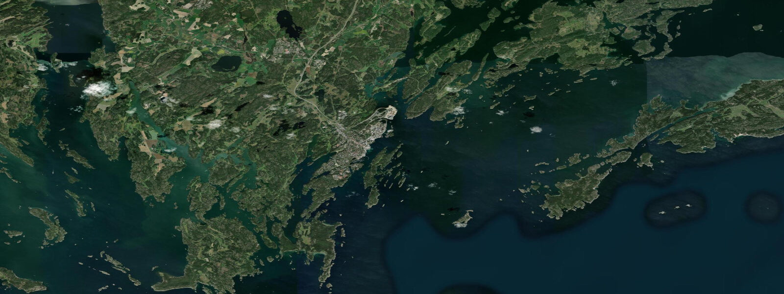
Visby is Gotland's main city and the best-preserved medieval Hanseatic walled city in Scandinavia. The ring wall — 3.6 km of limestone curtain wall with 27 towers, built in the 12th–14th centuries — encircles the old town completely. Inside it: cobblestone streets, ruins of 12 medieval churches, and the intact buildings of the merchant era. Outside the wall, to the west: the Baltic Sea and the harbour. UNESCO listed Visby in 1995 as an Outstanding Universal Value for the completeness of its medieval urban fabric.
The Baltic Sea at Visby has essentially no astronomical tide. Mean tidal range is 3–7 cm — immeasurable against the background of wave action, wind setup, and atmospheric pressure variation. Water level at the Visby harbour and the coast immediately west of the city is driven entirely by these non-tidal processes. A sustained westerly wind across the Baltic pushes water against Gotland's west coast, raising levels at Visby by 0.3–0.6 m. An easterly wind drives water away from the west coast and lowers it by a similar amount. These changes accumulate over hours to days; there is no daily rhythm.
For the Visby harbour — a commercial and ferry harbour handling the Destination Gotland car-ferry service from Nynäshamn (3 hours) and Oskarshamn (3.5 hours) — the non-tidal water level variability means that ferry ramp heights are fixed to the mean water level and do not require tidal scheduling. The wind-driven level changes of 0.3–0.6 m do affect the freeboard at the ferry ramp; in extreme westerly surge events (historically up to 1.0 m above mean), the quay access to the ferry is affected. The Destination Gotland service operates year-round; the ferry schedule is the only timing constraint, not tidal state.
For visitors using the harbour for recreational activities — kayak hire is available from the harbour area — the westerly-wind surge is the operational weather variable. Kayaking in the harbour basin and along the limestone coastal section immediately north and south of Visby is accessible from the harbour put-in. The section from Visby harbour north to the natural harbour at Snäckgärdsbadet (2 km) is a gentle paddle with the limestone city wall visible from the water. The section south along the coast toward Klintehamn (40 km) is exposed open-coast sea kayaking.
For photographers, Visby's west-facing walls at sunset are the classic image: the limestone towers lit from the west by the setting sun over the Baltic, the medieval profile unchanged. The harbour quay, 200 m west of the main gate (Söderport), provides the widest view of the wall face with sea in the foreground. Water level — higher in westerly conditions, lower in easterly — changes the width of the rocky beach strip between the wall base and the harbour water but does not significantly affect the photographic composition.
For swimmers, Snäckgärdsbadet beach 2 km north of Visby harbour is the nearest designated swimming area. The Baltic at Gotland's west coast peaks at 16–19 °C in late July — warm for the Baltic but cool by North Sea standards. There is no tidal cycle; the waterline position shifts only with wind and pressure. Summer swimmer access to the Snäckgärdsbadet pontoon and beach is purely weather-dependent.
For anglers, the harbour breakwater and the limestone shoreline north and south of the city are accessible for sea trout (September–November) and Baltic herring (April–May spawning run). The harbour entrance breakwater provides the most productive current exposure for sea trout spinning at dawn.
All tide predictions for Visby come from the Open-Meteo Marine gridded model. Timing accuracy is ±45 minutes; height accuracy is ±0.3 m above Chart Datum. The astronomical signal at Visby is 3–7 cm — well within the model's stated uncertainty. Wind and atmospheric pressure drive all water level changes at this location.
Tide questions about Visby
Quick answers to the most common questions about tide times, range, and water access at Visby.
Does Visby have tides, and what controls the water level in the harbour?
Visby's astronomical tidal range is 3–7 cm — negligible. The Baltic Sea's restricted connection to the North Sea through the Danish straits prevents a meaningful tidal wave from reaching Gotland. Water level in the Visby harbour is driven by wind and atmospheric pressure. A sustained westerly across the Baltic raises Visby's coast by 0.3–0.6 m; an easterly lowers it. These changes accumulate over hours to days with no daily rhythm. The Destination Gotland ferry schedule does not depend on tidal timing. The Open-Meteo tide predictions for Visby show a signal well within the model's own ±0.3 m height uncertainty.
When is the best time to photograph Visby's medieval wall at sunset?
The Visby ring wall faces west, receiving direct sunset light from May through September. The optimal position is the harbour quay 200 m west of Söderport (south gate), which provides a full-wall profile view with the Baltic in the foreground. June and July sunsets fall between 21:30 and 22:00, with the wall in golden light from approximately 20:30. The surface of the Baltic — calm in high-pressure conditions, textured in light westerly breeze — changes the foreground character but the wall composition is strong at any water level state. A slightly higher westerly-surge level (0.2–0.3 m above mean) reduces the exposed rocky beach between the wall base and the water, giving a cleaner water-to-wall edge.
Can you kayak along the coast from Visby?
Kayak hire is available from the Visby harbour area in summer. The 2-km paddle north from the harbour to Snäckgärdsbadet beach is calm and sheltered, with the limestone city wall visible from the water for the first kilometre. South of the harbour, the coast becomes more exposed open-water Baltic; this section requires sea-kayaking experience. The dominant operational variable is the westerly sea breeze, which develops through the morning and creates increasing surface chop in the afternoon. Morning paddling before 10:00 is the most reliable flat-water window on the west-facing coast. There is no tidal current — wind is the only current source here, and it is driven by weather.
When can you catch sea trout near Visby?
Baltic sea trout (Salmo trutta) are present on the Gotland west coast shoreline in autumn (September–November) during their coastal migration phase before river entry. The limestone shoreline south of Visby and the harbour breakwater are accessible spinning locations. Early morning sessions at dawn — before the day warms and the fish move deeper — are most productive. There is no tidal timing to optimise: water level at Visby is non-tidal, and sea trout feeding behaviour here is driven by light level, temperature, and weather rather than tide. After a westerly storm that raises the water level and disturbs the shoreline — creating the turbulence that sea trout use to hunt — is often the best post-storm session window.
What is the swimming season at Visby and how warm does the Baltic get?
The Baltic Sea off Gotland's west coast peaks at 16–19 °C in late July and early August — the warmest period of the swimming season. The season for most people runs from late June through August; May and September are swimmable for cold-water tolerant adults. The nearest designated swimming beach to Visby is Snäckgärdsbadet, 2 km north of the harbour. Water level at the beach is non-tidal; the waterline shifts with wind and atmospheric pressure rather than on a predictable daily schedule. Westerly wind events can push wave energy against the west-facing beach, increasing wave height and reducing safe swimming conditions for children.
2-day tide table — Visby
Heights relative to MSL. Predictions: Open-Meteo Marine (MeteoFrance SMOC, 0.08° grid) — heights relative to MSL (not chart datum / LAT). Model-derived.
| Day | Type | Time | Height |
|---|---|---|---|
| Sat 27 Jun | — | ||
| Sun 28 Jun | High | 19:00 | -0.1m |