Klintehamn tide times
Klintehamn tide forecast — heights relative to MSL.
Today's tide times for Klintehamn
Tide times at Klintehamn on Saturday, 27 June 2026: first high tide at 05:00, first low tide at 10:00. Sunrise 03:50, sunset 21:48.
Tide chart for Klintehamn
24-hour cosine-interpolated curve around the present moment. Heights relative to MSL. Predictions: Predictions: Open-Meteo Marine (MeteoFrance SMOC, 0.08° grid).
Sun, moon and conditions on Sat 27 Jun
Snapshot at build time — refreshes daily. Sea state from Open-Meteo Marine.
Highs and lows next 7 days
Every predicted high and low for the next week, with the daily tidal coefficient (0–120; higher = bigger swing, > 95 means stronger currents).
Other spots nearby
The three closest curated TideTurtle locations to Klintehamn, measured by great-circle distance.
Today's solunar windows
Solunar tradition: major periods are the ≈3h windows around moon transit and opposition; minor are ≈2h around moonrise and moonset. Pair with the local tide stage and wind for the best read.
About tides at Klintehamn
A short guide to the coastline at Klintehamn — geography, sea state, and what the tide is actually doing under your feet.
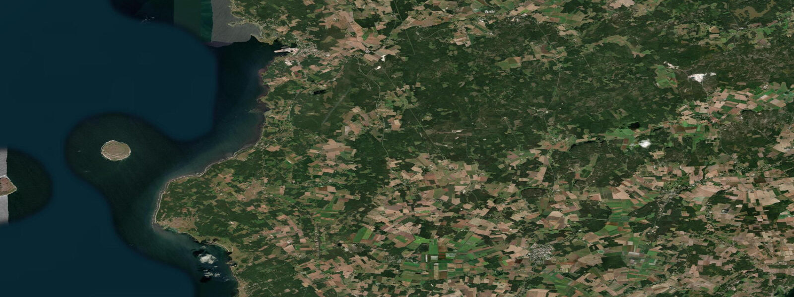
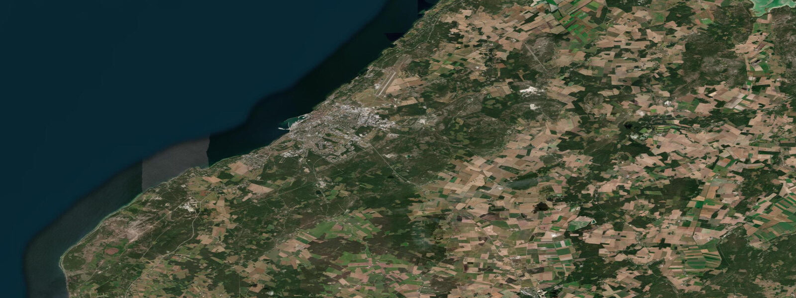
Klintehamn is a small natural harbour village on Gotland's southwest coast, 30 km south of Visby. The harbour is the departure point for boat trips to the Karlsö Islands — Stora Karlsö and Lilla Karlsö — two limestone stack islands that are nationally protected nature reserves for seabird breeding colonies. The harbour itself is cut into the limestone coast and provides shelter from the prevailing westerlies; the village is quiet, functional, and lacking the tourist infrastructure of Visby. What it has is access to some of the most distinctive coastal geology in Sweden: the raukar.
Raukar are isolated limestone sea stacks and sculptured pinnacles eroded from the Silurian limestone platform by ice, frost, and wave action. The most famous raukar field in Klintehamn's area is at Digerhuvud on Stora Karlsö, but smaller groups of raukar are accessible on the mainland coast immediately south of Klintehamn at Gnisvärd and at the point below Hoburgen in the far south. These formations, standing 2–5 m above the current sea level, were carved when the Baltic was at a different level; they now stand on the intertidal rock platform above the present mean water line.
Water level at Klintehamn is non-tidal — Baltic mean astronomical range 3–7 cm. Wind drives everything. The southwest coast faces the dominant westerly weather track directly; in westerly storm events, wave heights of 2–3 m reach Klintehamn and the harbour entrance can be difficult for small craft. Wind-driven setup raises the coast water level by 0.3–0.6 m in sustained westerlies. In calm high-pressure conditions, the harbour is glassy and the raukar reflections in the flat water are excellent for photography.
For boat operators running trips to Stora Karlsö (15 km southwest), the weather window and sea state are the operative variables, not tidal phase. The crossing is open Baltic, exposed to westerly swell and wind. The nature reserve jetty on Stora Karlsö is accessible in seas up to 0.5–0.8 m; beyond that, landing becomes uncomfortable and the reserve warden may halt landing operations to protect the breeding bird colonies. Trips run from June through August; booking in advance is required as daily visitor numbers are limited to protect the razorbill and guillemot colonies.
For kayakers, the Klintehamn harbour provides a sheltered launch point for the coast both north toward Visby and south toward the Hoburgen lighthouse (15 km). The south coast section below Hoburgen — the southernmost point of Gotland — includes the most dramatic raukar fields and sea-stack formations on the island. This section is exposed to the full Baltic fetch from the southwest and should be attempted only in calm forecast conditions with a stable high-pressure system established. The return leg from Hoburgen to Klintehamn runs north in typically better conditions if the afternoon sea-breeze from the west has not yet built.
The Karlsö Islands seabird colonies are the ecological highlight of the Klintehamn area. Stora Karlsö hosts Scandinavia's largest guillemot (Uria aalge) colony — 8,000–10,000 breeding pairs on the limestone ledges. Razorbills, Atlantic puffins (a small number), and common murres share the cliff face. The colonies are active from late April through late July; the best viewing is from the reserve's guided cliff-top walk. The Karlsö razorbills nest on flat ledges at approximately 20 m above sea level; their access to the water below is vertical flight directly into the Baltic surface — the water level at the cliff base affects the wave action they encounter on take-off and landing.
For fishermen, the harbour pier and the rocky points immediately north and south of the harbour access the Baltic trout and Baltic herring in season. The non-tidal Baltic means fishing sessions are governed by light, temperature, and weather rather than tidal phase.
All tide predictions for Klintehamn come from the Open-Meteo Marine gridded model. Timing accuracy is ±45 minutes; height accuracy is ±0.3 m above Chart Datum. The astronomical signal is 3–7 cm and within the model's uncertainty. Weather determines all conditions on this coast.
Tide questions about Klintehamn
Quick answers to the most common questions about tide times, range, and water access at Klintehamn.
What are raukar and where can you see them near Klintehamn?
Raukar are sculpted limestone sea stacks and pinnacles, carved from Gotland's Silurian limestone platform by post-glacial wave action and frost weathering. They stand 2–5 m above present sea level on the rock platform at the water's edge. The main accessible raukar fields near Klintehamn are at Gnisvärd beach (4 km north) and at Hoburgen point (15 km south, the most dramatic collection on Gotland). The most famous raukar on the Karlsö Islands are at Digerhuvud on Stora Karlsö — accessible by the reserve guided tour from the Klintehamn boat service. Calm Baltic conditions are needed for the best raukar photography; flat water and early morning light produce the clearest reflections.
How do you get to Stora Karlsö from Klintehamn and can trips be cancelled?
Boat trips to Stora Karlsö nature reserve run from Klintehamn harbour from June through August. The crossing is 15 km across the open Baltic, taking approximately 40 minutes in normal conditions. Trips are cancelled when sea state at the Stora Karlsö jetty exceeds 0.5–0.8 m wave height, making landing unsafe. This happens with westerly winds above 10–12 m/s — check the Swedish Maritime Administration or Klintebåten operator forecasts before travelling to Klintehamn. Visitor numbers on the reserve are strictly limited; advance booking is required and strongly advised in July. The reserve is managed to protect the guillemot and razorbill colonies, which number 8,000–10,000 breeding pairs.
What is the guillemot colony at Stora Karlsö and when is it active?
Stora Karlsö hosts Scandinavia's largest common guillemot (Uria aalge) colony, with 8,000–10,000 breeding pairs on the limestone cliff ledges on the island's west face. Razorbills, Atlantic puffins (small numbers), and black guillemots share the cliff system. The colony is active from late April through late July: eggs are laid in May, chicks hatch in June, and the flightless chicks make their seaward jump (a 20-metre vertical drop to the Baltic surface) in late July — one of the more extraordinary natural spectacles in Scandinavia. The reserve's guided cliff-top walk provides viewing from directly above the colony. Access is controlled; only guided visitor groups are permitted on the colony section.
Is sea kayaking from Klintehamn to Hoburgen safe for experienced paddlers?
The 15-km route from Klintehamn south along the coast to Hoburgen lighthouse and its raukar fields is a full-day paddle for experienced sea kayakers. The southwest coast of Gotland faces the dominant Baltic westerly fetch directly; in any wind above 5 m/s from the west or southwest, the exposed sections between Klintehamn and Hoburgen are rough, with 0.5–1.5 m wind-chop that makes steering and landing difficult. The route should be attempted only in confirmed calm conditions (high-pressure system, wind below 3 m/s). There are no sheltered bail-out options for 10 km of the southern section. Non-tidal Baltic means no current complications, but weather reversals can strand paddlers with no recovery option.
Does the water level at Klintehamn affect the boat harbour and pier fishing?
Klintehamn harbour has no tidal variation — the 3–7 cm astronomical range is negligible. Water level at the harbour changes with wind and atmospheric pressure: a sustained westerly can raise harbour level by 0.3–0.6 m, which reduces the freeboard on the harbour wall and makes the lower ladder rungs submerged. A prolonged high-pressure calm lowers the Baltic slightly as atmospheric weight increases. Neither condition is a safety concern for pier fishing; the variable affects only the casting angle from the pier edge. Fishing conditions are governed by weather, season, and species behaviour — not any tidal schedule.
4-day tide table — Klintehamn
Heights relative to MSL. Predictions: Open-Meteo Marine (MeteoFrance SMOC, 0.08° grid) — heights relative to MSL (not chart datum / LAT). Model-derived.
| Day | Type | Time | Height |
|---|---|---|---|
| Sat 27 Jun | High | 05:00 | -0.1m |
| Low | 10:00 | -0.1m | |
| Sun 28 Jun | — | ||
| Mon 29 Jun | High | 03:00 | -0.1m |
| Tue 30 Jun | Low | 11:00 | -0.1m |