Malmö tide times
Malmö tide forecast — heights relative to MSL.
Today's tide times for Malmö
Tide times at Malmö on Sunday, 21 June 2026: first high tide at 02:00, first low tide at 08:00, second high tide at 16:00. Sunrise 04:24, sunset 21:55.
Tide chart for Malmö
24-hour cosine-interpolated curve around the present moment. Heights relative to MSL. Predictions: Predictions: Open-Meteo Marine (MeteoFrance SMOC, 0.08° grid).
Sun, moon and conditions on Sun 21 Jun
Snapshot at build time — refreshes daily. Sea state from Open-Meteo Marine.
Highs and lows next 7 days
Every predicted high and low for the next week, with the daily tidal coefficient (0–120; higher = bigger swing, > 95 means stronger currents).
Other spots nearby
The three closest curated TideTurtle locations to Malmö, measured by great-circle distance.
Today's solunar windows
Solunar tradition: major periods are the ≈3h windows around moon transit and opposition; minor are ≈2h around moonrise and moonset. Pair with the local tide stage and wind for the best read.
About tides at Malmö
A short guide to the coastline at Malmö — geography, sea state, and what the tide is actually doing under your feet.
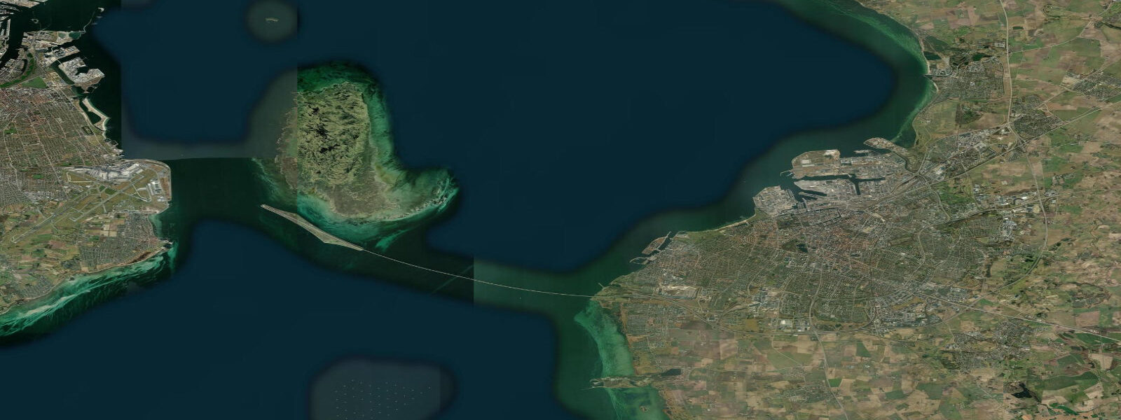
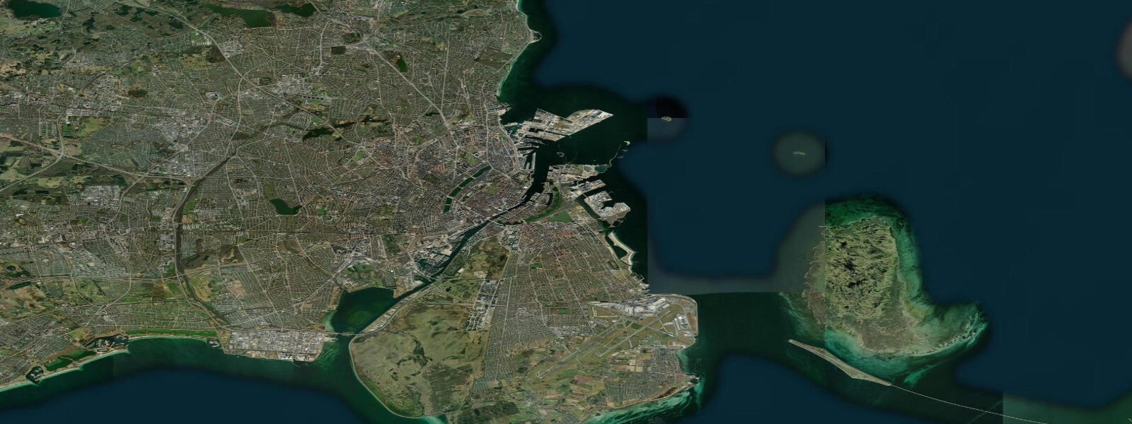
Malmö faces Copenhagen across 5 km of Øresund water. The Øresund Bridge — 16 km of combined bridge and tunnel opened in July 2000 — makes Copenhagen's Central Station roughly 35 minutes from Malmö C by regional train (Öresundståg), collapsing what was once a 30-minute ferry crossing into an easy commute. Sweden's third-largest city, Malmö has a waterfront that was industrial for most of the 20th century and has been progressively redeveloped since the late 1990s into the Västra Hamnen (Western Harbour) district, anchored by the Turning Torso tower (190 m, designed by Santiago Calatrava, completed 2005).
Malmö is at the boundary between Baltic and Kattegat tidal influence, which gives it a slightly larger astronomical tidal range than open-Baltic ports: approximately 0.2–0.3 m, versus 0.1–0.15 m at Stockholm. This is still very small. What dominates sea level here is the Øresund's role as a pressure valve between the Baltic and the North Sea. When Atlantic low-pressure systems drive surge northward through the Danish straits, the Øresund can experience storm surge of 0.5–0.8 m above mean sea level. A sustained westerly can push the same amount through in reverse. SMHI and the Danish Meteorological Institute (DMI) both publish water level forecasts for the Øresund; SMHI's station at Malmö (station code MAL) provides continuous observations.
The Malmö waterfront from the Western Harbour south through Limhamn runs approximately 8 km of accessible coast, mostly redeveloped quays, sandy beaches at Ribersborg (the city beach, known as Ribban), and the old limestone quarry at Klagshamn at the peninsula tip. Ribersborg beach faces northwest across the Øresund toward Denmark; prevailing southwest winds here bring some of the largest swell in the Øresund, occasionally reaching 1.0–1.5 m in storm conditions. Swimmers and windsurfers use Ribersborg in summer when water temperatures reach 18–21 °C in July–August.
The Øresund is a major commercial shipping lane: roughly 60,000 vessels per year transit the strait, concentrated in the Drogden channel (east of Saltholm island, used by larger vessels) and the Flinte channel (between Malmö and Copenhagen, used by smaller traffic). The Malmö approach channels for commercial port traffic are clearly marked and maintained; leisure watercraft must be aware of the vessel traffic separation scheme. Sea kayakers and windsurfers operating near the main fairway should monitor VHF channel 16 and the MarineTraffic AIS feed.
Malmö's marina at Limhamn sits in a sheltered basin just south of the old Limhamn ferry quay. The basin entrance has an approach depth of approximately 2.5 m at mean sea level, with meteorological sea level variation of ±0.3–0.5 m in the Øresund meaning a vessel drawing 2.2 m should check the SMHI live observation before entering at low-pressure troughs when sea level may be depressed below mean. The Western Harbour guest harbour (Gästhamnen Västra Hamnen) has 130 berths and water depths of 2.5–4.5 m; most leisure craft in the 8–12 m range encounter no access issues regardless of sea level state.
TideTurtle displays Open-Meteo Marine sea level data for Malmö. Astronomical range is approximately 0.2–0.3 m (slightly larger than the open Baltic due to Kattegat influence). Meteorological sea level variation in the Øresund can reach ±0.5–0.8 m during significant surge events. Open-Meteo Marine accuracy is typically ±45 minutes on timing and ±0.2–0.3 m on height. SMHI station MAL at smhi.se and DMI's sea level service at dmi.dk are both authoritative sources for Øresund sea level.
Tide questions about Malmö
Quick answers to the most common questions about tide times, range, and water access at Malmö.
Does Malmö have significant tides?
Astronomical tidal range at Malmö is approximately 0.2–0.3 m — slightly larger than the open Baltic due to Kattegat influence through the Øresund, but still very small compared to Atlantic coasts. What creates notable sea level change here is storm surge through the Øresund: a sustained westerly or Atlantic low pushing surge northward through the Danish straits can raise Malmö sea level 0.5–0.8 m above mean. SMHI station MAL and DMI (Danish Meteorological Institute) both publish Øresund sea level forecasts that account for this.
How long does it take to travel between Malmö and Copenhagen?
Approximately 35 minutes by Öresundståg regional train between Malmö C and Copenhagen Central Station. Trains run every 20 minutes throughout the day. The journey uses the Øresund Bridge, a 16 km combined rail-road bridge and tunnel that opened in 2000. Walking distance from Malmö C to the Western Harbour guest harbour is roughly 10 minutes; from Copenhagen Central to Nyhavn is about 15 minutes on foot.
Is Ribersborg beach good for swimming and what is the water temperature?
Ribersborg (Ribban) is Malmö's main city beach, roughly 3 km north of the city centre and accessible by bicycle along the waterfront path. Water temperatures in the Øresund at Malmö peak at 18–21 °C in July–August. Ribban faces northwest and receives some of the largest swell in the strait — up to 1.0–1.5 m in southwest storms — but is generally calm in light conditions. The beach has changing facilities, a pontoon bath house, and a year-round swimming club. Water quality is monitored by Malmö Stad; results are posted at the site and at badplatsen.se.
Can I kayak in the Øresund from Malmö and how do I manage shipping traffic?
Sea kayaking in the Øresund is feasible but demands VTS awareness. The main shipping fairways run in the Drogden and Flinte channels; approximately 60,000 commercial vessels per year transit the strait. Kayakers should launch from sheltered locations (Limhamn marina or the Western Harbour guest quay), stay east or west of the main fairways, and monitor VHF channel 16. Monitor MarineTraffic or similar AIS display before crossing any channel sector. Meteorological sea level variation of ±0.3–0.5 m has minimal impact on kayak safety compared to vessel traffic and wind-driven chop.
Is TideTurtle's sea level data safe to use for marina approach or passage planning in the Øresund?
No. TideTurtle displays Open-Meteo Marine sea level estimates with typical accuracy of ±45 minutes on timing and ±0.2–0.3 m on height. In the Øresund, where surge events can shift sea level ±0.5–0.8 m, this margin is significant. For marina approach depths, check the live SMHI water level observation at smhi.se (station MAL) or DMI at dmi.dk. For navigation in the Øresund shipping lanes, use current NAVTEX, VHF channel 16, and the Swedish Sea Rescue Society's (SSRS) vessel traffic service.
8-day tide table — Malmö
Heights relative to MSL. Predictions: Open-Meteo Marine (MeteoFrance SMOC, 0.08° grid) — heights relative to MSL (not chart datum / LAT). Model-derived.
| Day | Type | Time | Height |
|---|---|---|---|
| Sun 21 Jun | High | 02:00 | -0.2m |
| Low | 08:00 | -0.3m | |
| High | 16:00 | -0.2m | |
| Mon 22 Jun | Low | 09:00 | -0.3m |
| Tue 23 Jun | — | ||
| Wed 24 Jun | High | 05:00 | -0.1m |
| Low | 10:10 | -0.2m | |
| Thu 25 Jun | High | 20:00 | -0.1m |
| Fri 26 Jun | Low | 04:00 | -0.2m |
| High | 06:00 | -0.1m | |
| Sat 27 Jun | — | ||
| Sun 28 Jun | Low | 01:00 | -0.2m |