Helsingborg tide times
Helsingborg tide forecast — heights relative to MSL.
Tide chart for Helsingborg
24-hour cosine-interpolated curve around the present moment. Heights relative to MSL. Predictions: Predictions: Open-Meteo Marine (MeteoFrance SMOC, 0.08° grid).
Sun, moon and conditions on Sun 21 Jun
Snapshot at build time — refreshes daily. Sea state from Open-Meteo Marine.
Highs and lows next 7 days
Every predicted high and low for the next week, with the daily tidal coefficient (0–120; higher = bigger swing, > 95 means stronger currents).
Other spots nearby
The three closest curated TideTurtle locations to Helsingborg, measured by great-circle distance.
Today's solunar windows
Solunar tradition: major periods are the ≈3h windows around moon transit and opposition; minor are ≈2h around moonrise and moonset. Pair with the local tide stage and wind for the best read.
About tides at Helsingborg
A short guide to the coastline at Helsingborg — geography, sea state, and what the tide is actually doing under your feet.
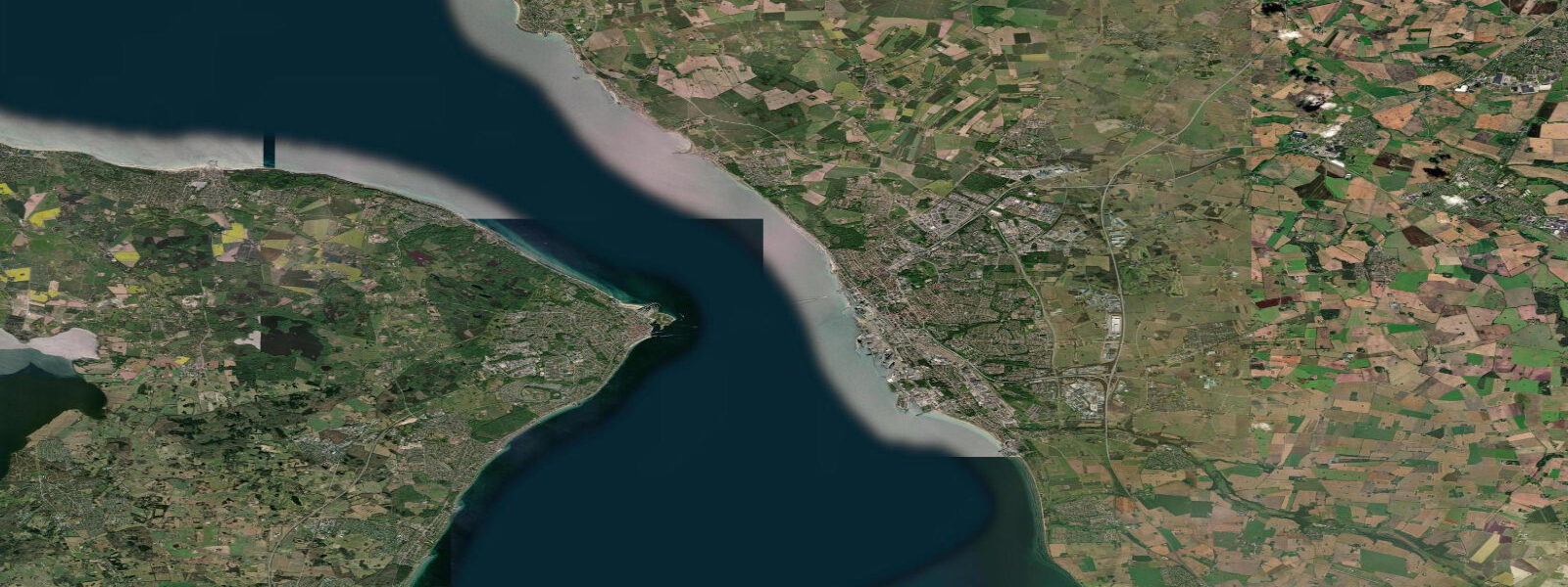
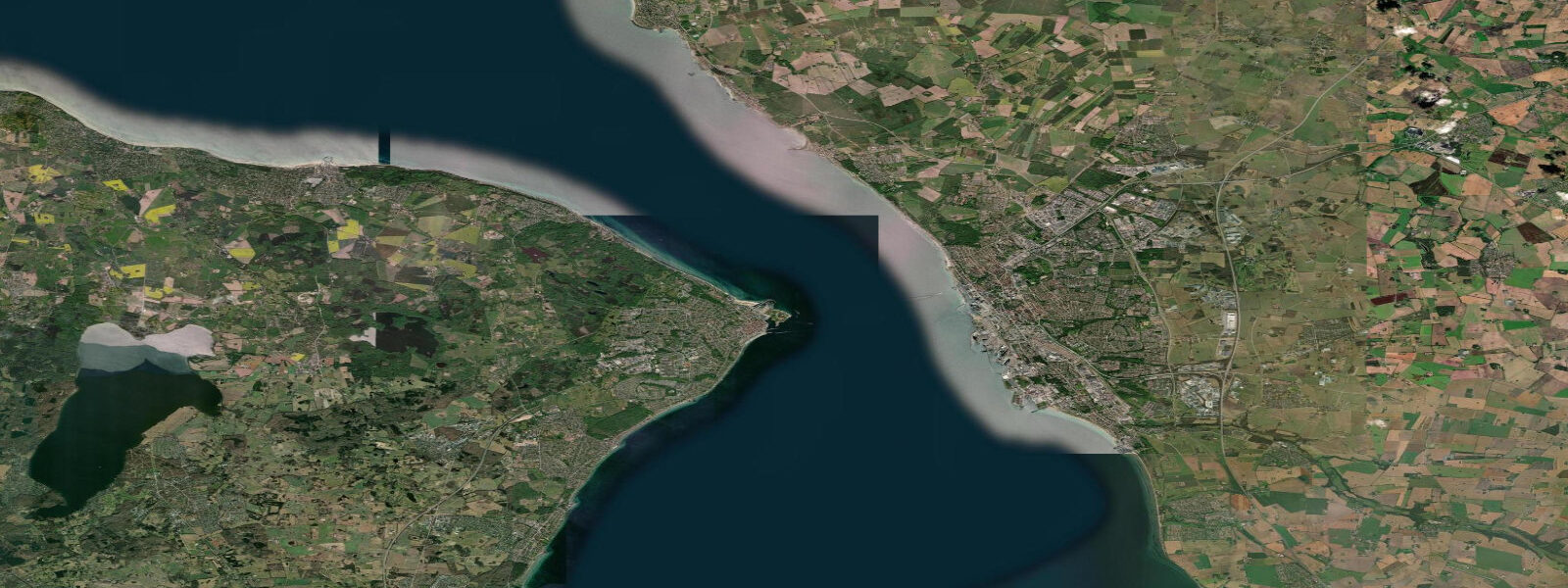
Helsingborg sits at the narrowest point of the Øresund, where the strait squeezes to approximately 4 km between the Swedish coast and Helsingør (Helsingore) in Denmark — a gap narrow enough to see the Danish shore clearly on any clear day and hear the Helsingør church bells when the wind is right. Hamlet's Elsinore, the setting of Shakespeare's play (though the historical Kronborg Castle dates from 1574, long after the fictional Hamlet), is the white-spired castle directly visible across the water from Helsingborg's waterfront promenade.
The Øresund narrows at Helsingborg produce the most pronounced tidal dynamics in Swedish waters. Astronomical range here is approximately 0.2–0.3 m, influenced by Kattegat rather than pure Baltic. But the constriction effect of the narrows means that storm surge is amplified as water is forced through: when a persistent westerly drives North Sea water through the Kattegat, Helsingborg can experience sea level rise of 0.5–1.0 m above mean — among the highest surge values on the Swedish coast. SMHI's station at Helsingborg (station code HEL) records these events; the 1872 Baltic Sea flood, one of the most extreme coastal surge events in recorded Scandinavian history, raised sea level at Helsingborg by approximately 2.5 m above normal, flooding the lower town. Modern sea walls built after subsequent flooding events protect the commercial harbour and lower districts.
The Helsingborg–Helsingør ferry (HH-ferry) is one of the busiest ferry routes in the world by vessel count, with HH Ferries and Sundbusserne running frequent small car-and-passenger ferries across the 4 km in approximately 20 minutes. The route has operated continuously since at least the 14th century. Ferry frequency is roughly every 15–30 minutes each way, 24 hours a day. The tidal current through the Øresund narrows at Helsingborg runs predominantly north-south along the strait, reaching 1–2 knots on the strongest Kattegat surge events. Ferry operators account for this in their cross-strait routing — vessels are steered obliquely to compensate for set.
Helsingborg's Kärnan tower, a 14th-century medieval keep on the hillside above the city, is the dominant landmark. The tower stands approximately 35 m tall and is the remnant of a medieval castle complex that controlled traffic through the narrows for centuries; tolls on Øresund shipping were levied here. The harbour below Kärnan has been extensively redeveloped, with the old ferry terminal building (Knutpunkten) now a combined transport hub above which the Helsingborg city library operates. The recreational marina at Helsingborg (Råå harbour, 6 km south of the city centre) is a common stop for sailing boats transiting between the Kattegat and the Baltic through the Øresund.
Sailing the Øresund narrows at Helsingborg requires respect for the vessel traffic separation scheme, the HH-ferry crossings, and the shore-hugging current. Skippers bound north from the Baltic into the Kattegat aim for the Swedish side of the strait and pick up the northbound current on the flood (Kattegat phase, running roughly north for 6 hours and south for 6 hours in tidal terms, though modulated by prevailing wind). In practice, persistent winds dominate the current direction here more than astronomy does. Recreational craft should monitor VHF channel 16 and the HH-ferry radio schedule.
TideTurtle displays Open-Meteo Marine sea level data for Helsingborg. Astronomical range is approximately 0.2–0.3 m; surge events through the narrows can raise sea level 0.5–1.0 m. Open-Meteo Marine accuracy is typically ±45 minutes on timing and ±0.2–0.3 m on height. SMHI station HEL at smhi.se is the authoritative source for Helsingborg water level.
Tide questions about Helsingborg
Quick answers to the most common questions about tide times, range, and water access at Helsingborg.
How wide is the Øresund at Helsingborg and can you see Denmark?
The strait narrows to approximately 4 km between Helsingborg and Helsingør in Denmark — the shortest crossing in the Øresund. On any clear day Denmark is plainly visible from the Helsingborg waterfront promenade, with the white spires of Kronborg Castle (Shakespeare's Elsinore) directly across the water. The HH-ferry covers the crossing in roughly 20 minutes. On very calm days voices carry across the water.
What is the sea level range at Helsingborg and has it flooded historically?
Astronomical range at Helsingborg is approximately 0.2–0.3 m. The Øresund narrows amplify surge: strong Kattegat inflow can raise sea level 0.5–1.0 m above mean. The most extreme recorded event is the 1872 Baltic Sea flood, when sea level at Helsingborg rose approximately 2.5 m above normal during a catastrophic northwesterly storm, flooding the lower city. Modern sea defences were built subsequently. SMHI station HEL monitors current water levels at smhi.se.
How do I sail through the Øresund narrows at Helsingborg?
Northbound boats (Baltic to Kattegat) should stay on the Swedish side of the strait and track the northbound lane of the traffic separation scheme. The HH-ferries cross the narrows every 15–30 minutes; give them room and monitor VHF channel 16 for their radio checks. Current runs predominantly along the strait (north-south), reaching 1–2 knots on strong inflow events, and can assist or oppose your progress depending on the Kattegat pressure gradient. In light winds the current often determines boat speed through the narrows more than the engine or sails.
What is Kärnan and why is it significant?
Kärnan is a 14th-century medieval keep on the hillside directly above Helsingborg harbour, the last standing structure of a castle complex that controlled Øresund traffic for centuries. From the 13th through 17th centuries, Danish and Swedish crowns taxed every vessel transiting the narrows from Helsingborg and the corresponding Helsingør castle (Kronborg). The two fortifications represent one of history's most profitable toll bottlenecks. Kärnan is open to visitors; the climb to the top gives a clear view of the strait and the Danish shore.
Is TideTurtle's sea level data safe to use for navigation through the Helsingborg narrows?
No. TideTurtle displays Open-Meteo Marine sea level estimates with typical accuracy of ±45 minutes on timing and ±0.2–0.3 m on height. The Øresund narrows at Helsingborg carry intense commercial ferry traffic, a vessel traffic separation scheme, and surge-amplified sea level variation of up to ±1.0 m in storm conditions. For transit planning, use SMHI water level observations at smhi.se (station HEL), current NAVTEX bulletins, and monitor VHF channel 16 actively. Danish Meteorological Institute forecasts at dmi.dk cover the Danish side.
8-day tide table — Helsingborg
Heights relative to MSL. Predictions: Open-Meteo Marine (MeteoFrance SMOC, 0.08° grid) — heights relative to MSL (not chart datum / LAT). Model-derived.
| Day | Type | Time | Height |
|---|---|---|---|
| Sun 21 Jun | — | ||
| Mon 22 Jun | — | ||
| Tue 23 Jun | — | ||
| Wed 24 Jun | High | 05:50 | -0.1m |
| Thu 25 Jun | — | ||
| Fri 26 Jun | Low | 15:00 | -0.3m |
| High | 20:00 | -0.2m | |
| Sat 27 Jun | — | ||
| Sun 28 Jun | Low | 01:00 | -0.3m |