Karlskrona tide times
Karlskrona tide forecast — heights relative to MSL.
Today's tide times for Karlskrona
Tide times at Karlskrona on Saturday, 27 June 2026: first high tide at 14:00. Sunrise 04:11, sunset 21:49.
Tide chart for Karlskrona
24-hour cosine-interpolated curve around the present moment. Heights relative to MSL. Predictions: Predictions: Open-Meteo Marine (MeteoFrance SMOC, 0.08° grid).
Sun, moon and conditions on Sat 27 Jun
Snapshot at build time — refreshes daily. Sea state from Open-Meteo Marine.
Highs and lows next 7 days
Every predicted high and low for the next week, with the daily tidal coefficient (0–120; higher = bigger swing, > 95 means stronger currents).
Other spots nearby
The three closest curated TideTurtle locations to Karlskrona, measured by great-circle distance.
Today's solunar windows
Solunar tradition: major periods are the ≈3h windows around moon transit and opposition; minor are ≈2h around moonrise and moonset. Pair with the local tide stage and wind for the best read.
About tides at Karlskrona
A short guide to the coastline at Karlskrona — geography, sea state, and what the tide is actually doing under your feet.
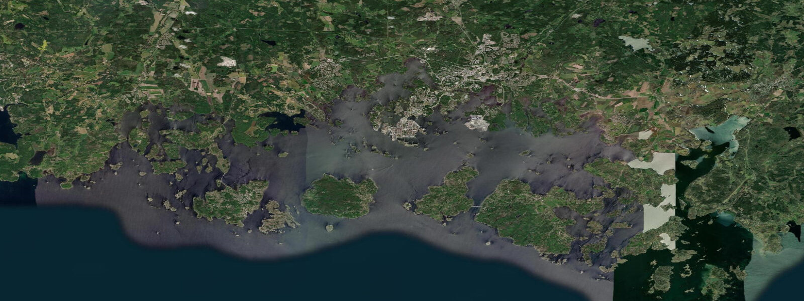
Karlskrona is built on a cluster of islands and peninsulas at the southern edge of Sweden's Blekinge coast, where the Baltic Sea opens south. The city was founded in 1680 by King Charles XI as a naval base; its regular grid streets, baroque naval buildings, and the Amiralitetskyrkan wooden naval church all date from this founding era. The entire naval town was inscribed as a UNESCO World Heritage Site in 1998. Marinbasen Karlskrona is Sweden's second-largest active naval base.
The tidal regime at Karlskrona is essentially non-tidal. The Baltic Sea's narrow connection to the North Sea through the Danish straits allows negligible tidal exchange; mean tidal range at Karlskrona is approximately 10 cm. Water level change is governed almost entirely by wind-driven setup and atmospheric pressure: a sustained southwesterly gale can raise Karlskrona's water level by 0.4–0.6 m above mean; a strong northeasterly can lower it by a similar amount. The Open-Meteo tide predictions for Karlskrona represent a combination of the negligible astronomical tide and the dominant meteorological water level signal.
For boaters, the near-zero tidal range means anchoring depth calculations are essentially static — the water level on arrival is the water level overnight, within ±0.1 m barring weather change. Mooring lines at the Karlskrona guest harbour need no tidal scope adjustment. What does require attention is wind-driven surge: an overnight southwesterly developing to gale force can raise the harbour water level by 0.3–0.4 m, relevant for boats moored close under fixed walkways or bridges.
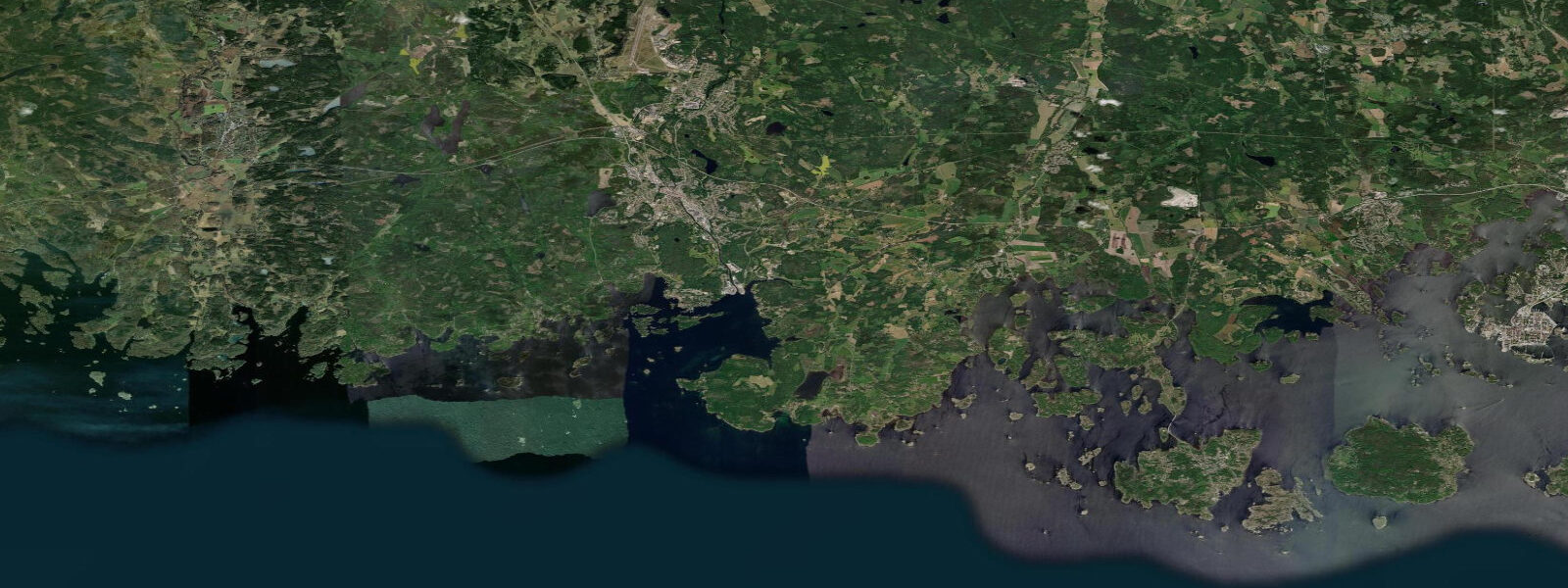
The archipelago south of Karlskrona — the Karlskrona skärgård — stretches 20–30 km into the southern Baltic and contains hundreds of small granite islands. This archipelago is the primary recreational asset of the coast, used extensively by sea kayakers, day sailors, and motorboat operators from May through September. The non-tidal nature of the water means there is no current planning involved — you read the wind and the chart, not the tide table.
Fishing in the Karlskrona area targets Baltic cod and flatfish (flounder, dab) on the sandy bottom between the outer islands, and perch and pike-perch in the inner brackish channels. Baltic cod populations have declined significantly; seasonal quotas and minimum size limits are strict. Perch fishing from the inner island channels is productive in June and September, when the shallow brackish water warms and fish feed aggressively. Tidal state does not affect the fishing; wind direction and temperature are the relevant variables.
Ferries from Karlskrona run to Gdynia in Poland (Stena Line overnight service, approximately 10 hours) — one of the main truck and passenger ferry routes across the southern Baltic. These ferry operations are unaffected by tidal conditions.
All tide predictions for Karlskrona come from the Open-Meteo Marine gridded model. Timing accuracy is ±45 minutes; height accuracy is ±0.3 m above Chart Datum.
Tide questions about Karlskrona
Quick answers to the most common questions about tide times, range, and water access at Karlskrona.
What is the tidal range at Karlskrona and why is it so small?
Karlskrona has a mean tidal range of approximately 10 cm — effectively non-tidal. The Baltic Sea is nearly enclosed, with only narrow connections to the North Sea through the Kattegat and Danish straits; the tidal wave cannot propagate efficiently into the Baltic and its amplitude dissipates to near zero by southern Sweden. Water level change is dominated by wind-driven setup and atmospheric pressure variation. A sustained southwesterly gale can raise the water level 0.4–0.6 m; a strong northeasterly can lower it by a similar amount. Tide predictions carry ±45 minutes timing uncertainty and ±0.3 m height uncertainty — the uncertainty exceeds the tidal signal.
Is sea kayaking safe in the Karlskrona archipelago, and are there tidal currents?
The Karlskrona skärgård is excellent for sea kayaking with essentially no tidal current — the Baltic's 10 cm range generates negligible flow. Navigation requires a chart for the outer rocks. The practical hazards are wind-driven: Baltic katabatic squalls and afternoon sea-breeze development can produce 15–20 knot conditions with 0.5–1.0 m chop on exposed outer skerries. June and July are the calmest months. Plan multi-day routes with bailout options on the leeward sides of islands.
What fish are caught in the Karlskrona area and when?
Baltic cod and flatfish (flounder, dab) are targeted on the sandy bottom of the outer archipelago; cod season is subject to strict quotas due to depleted Baltic stocks — check current Swedish fisheries regulations before targeting cod. Perch and pike-perch are the most accessible recreational targets in the inner brackish channels, with peak activity in June and again in September. Mackerel and garfish are taken from the outer skerry rocks in summer (July–August). Tidal state does not affect fishing here.
Does wind affect water levels more than tide at Karlskrona?
Yes. With a tidal range of only 10 cm, wind-driven setup completely dominates water level variability at Karlskrona. A sustained southwesterly gale can raise the water level by 0.4–0.6 m — four to six times the tidal range. This wind-driven surge builds gradually over 12–24 hours as the gale develops. The Swedish Meteorological and Hydrological Institute (SMHI) publishes water-level forecasts for the Baltic coast that account for both tidal and meteorological forcing — this is the useful planning tool for Karlskrona boat operations.
What is special about Karlskrona's UNESCO World Heritage Site status?
Karlskrona was inscribed as a UNESCO World Heritage Site in 1998 as the world's best-preserved example of a late-17th-century European naval base. The entire town plan — grid streets, twin churches on Stortorget, the Amiralitetskyrkan wooden naval church, historic dockyard buildings at Stumholmen, and rope-making houses — survives largely intact. The active naval base operates alongside the heritage area; some historic buildings are open through guided tours. The Naval Museum (Marinmuseum) at Stumholmen is the primary visitor centre.
8-day tide table — Karlskrona
Heights relative to MSL. Predictions: Open-Meteo Marine (MeteoFrance SMOC, 0.08° grid) — heights relative to MSL (not chart datum / LAT). Model-derived.
| Day | Type | Time | Height |
|---|---|---|---|
| Sat 27 Jun | High | 14:00 | -0.1m |
| Sun 28 Jun | — | ||
| Mon 29 Jun | Low | 09:10 | -0.2m |
| Tue 30 Jun | — | ||
| Wed 01 Jul | — | ||
| Thu 02 Jul | — | ||
| Fri 03 Jul | High | 19:00 | -0.0m |
| Sat 04 Jul | Low | 01:00 | -0.0m |