Gudhjem tide times
Gudhjem tide forecast — heights relative to MSL.
Today's tide times for Gudhjem
Tide times at Gudhjem on Saturday, 27 June 2026: first high tide at 02:00am. Sunrise 04:21am, sunset 09:44pm.
Tide chart for Gudhjem
24-hour cosine-interpolated curve around the present moment. Heights relative to MSL. Predictions: Predictions: Open-Meteo Marine (MeteoFrance SMOC, 0.08° grid).
Sun, moon and conditions on Sat 27 Jun
Snapshot at build time — refreshes daily. Sea state from Open-Meteo Marine.
Highs and lows next 7 days
Every predicted high and low for the next week, with the daily tidal coefficient (0–120; higher = bigger swing, > 95 means stronger currents).
Other spots nearby
The three closest curated TideTurtle locations to Gudhjem, measured by great-circle distance.
Today's solunar windows
Solunar tradition: major periods are the ≈3h windows around moon transit and opposition; minor are ≈2h around moonrise and moonset. Pair with the local tide stage and wind for the best read.
About tides at Gudhjem
A short guide to the coastline at Gudhjem — geography, sea state, and what the tide is actually doing under your feet.
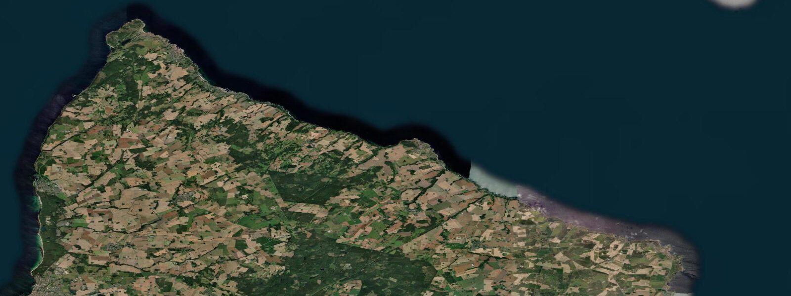
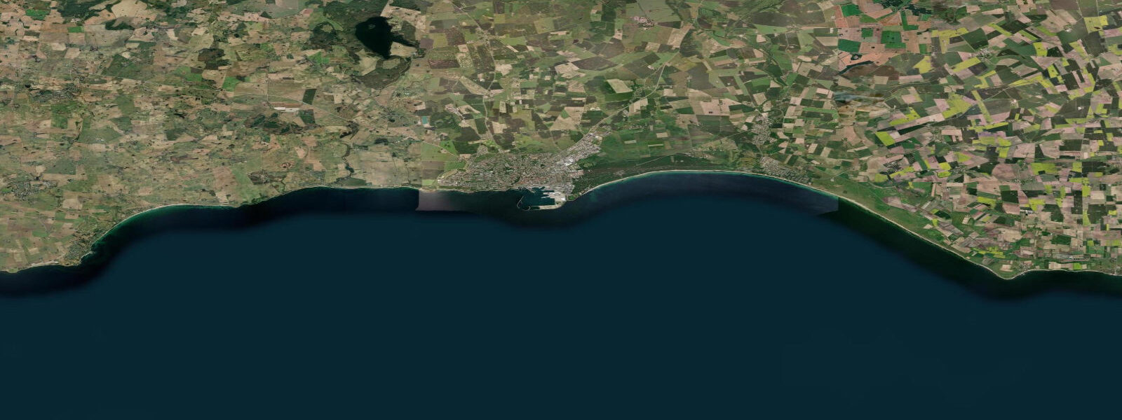
Gudhjem sits on the northeast coast of Bornholm, a small harbour town of painted fishermen's cottages climbing a steep rocky hill above a sheltered cove. The name means God's Home in Danish, a title that may reflect the dramatic setting: granite cliffs to the north and south, the harbour tucked into a natural notch in the rock, and the open Baltic stretching east to a horizon that eventually becomes Lithuania 370 km away.
The tidal range at Gudhjem is 0.03–0.05 m — identical to the rest of Bornholm, and for the same reason: the Baltic's near-total disconnection from the tidal ocean. Sea level at Gudhjem is purely a function of wind and atmospheric pressure. Easterly winds push water onto this coast, and a sustained gale from the east can raise sea level by 0.4–0.5 m and generate significant wave action against the harbour entrance. The harbour breakwater provides protection for small boats in most directions, but an east-to-northeast swell enters the cove directly and makes the outer moorings uncomfortable. Check the wind forecast for the night before anchoring in the outer roads.
Gudhjem Røgeri is the most famous of Bornholm's smoked herring restaurants, operating in a wooden building on the harbour since 1969. The speciality is sol over Gudhjem — sun over Gudhjem — a traditional open sandwich of smoked herring on rye bread topped with a raw egg yolk, raw onion, radishes, and chives. The dish was invented in this town, and the røgeri still smokes herring on-site in traditional brick-lined ovens. The smell of wood smoke and curing fish drifts across the harbour from early morning.
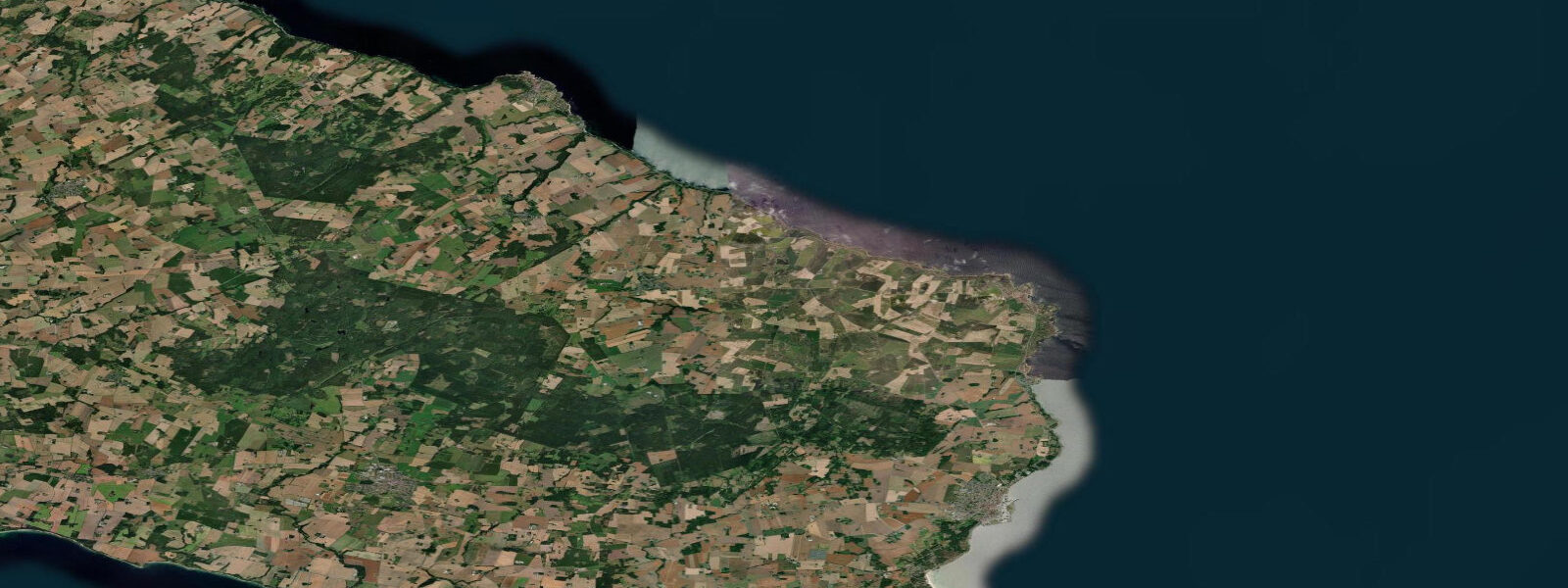
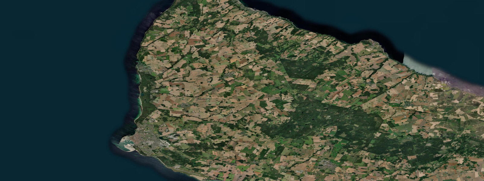
The Bornholm artist colony centred on Gudhjem was active from the 1880s onward, drawn by the quality of light on the northeast coast: the combination of granite cliffs, clear water, and an easterly exposure produces a cool, high-contrast light in the morning that the painters found distinct from anything on the Danish mainland. The Bornholms Kunstmuseum (museum of art) is 2 km south at Helligdomsklipperne — the sanctuary cliffs — in a building designed to use natural light effectively. The cliff walk from Gudhjem to the museum follows the granite coast and takes about 30 minutes.
Sea kayaking along the northeast coast from Gudhjem is technically interesting. The cliff sections offer overhangs, caves, and boulder fields at sea level — features accessible only from the water. Currents on this coast are wind-driven and can be strong during or after a gale, running north or south along the cliff base depending on the recent wind direction. Calm days produce glassy water in the cliff shadows and conditions suitable for circumnavigating the individual rock stacks. A guided tour out of Gudhjem runs from May through September; solo paddlers should be confident in rough-water recovery before approaching the cliff sections.
The cycling path along the northeast coast — route 6 on the island's network — runs between Gudhjem and Sandvig 15 km north, passing through the coastal heath at Hammeren. This is one of the most scenic stretches on the island, with the coast visible for most of the route and the Hammershus ruins visible in the distance. The climb out of Gudhjem north is steep; expect a 100 m elevation gain in the first 2 km.
Birding on the northeast coast is productive for seabirds: common eider, long-tailed duck, and velvet scoter in winter offshore; terns in summer from the rocks. The Helligdomsklipperne cliffs house nesting razorbills and guillemots in small numbers — the colony is modest but the only one on Bornholm.
Tidal predictions here use the Open-Meteo Marine gridded model (±45 minutes on timing, ±0.3 m on height). Not for navigation.
Tide questions about Gudhjem
Quick answers to the most common questions about tide times, range, and water access at Gudhjem.
What is sol over Gudhjem and where do I get it?
Sol over Gudhjem — sun over Gudhjem — is a traditional Danish open sandwich invented in this town. It consists of smoked herring on dark rye bread topped with a raw egg yolk (the 'sun'), raw chopped onion, radishes, and fresh chives. Gudhjem Røgeri on the harbour is the original establishment, smoking herring on-site in traditional brick ovens since 1969 and serving the dish from mid-morning. Arrive before 11:00 on a summer weekend to avoid a queue; the small outdoor tables on the harbour wall are the best seats on the island.
Is sea kayaking from Gudhjem safe for intermediate paddlers?
The northeast coast is suitable for confident intermediate paddlers in settled weather. The cliff sections have overhangs, caves, and boulder fields at sea level that are rewarding to explore on calm days. The risk factors are wind-driven currents that can run hard along the cliff base after a gale, and the exposed easterly aspect — an onshore wind arrives quickly and wave height builds against the cliffs with no reduction from breaking on shallow water. A guided tour (May–September, available from Gudhjem harbour) is the practical choice for first-time paddlers on this coast.
What is the cliff walk from Gudhjem to Helligdomsklipperne like?
The 2 km walk from Gudhjem harbour to the Helligdomsklipperne (sanctuary cliffs) follows a marked coastal path above the granite shoreline, with views east over the Baltic. The path climbs 40–50 m on the way out of the harbour and then stays near the cliff edge. Walking time is 25–35 minutes one way. The Bornholms Kunstmuseum at the far end is built into the cliff face with north light glazing — architecture and art collection worth a 45-minute visit. Return via the inland road for a circular route.
Are there seabirds nesting on the Gudhjem cliffs?
A small colony of razorbills and guillemots nests on the Helligdomsklipperne cliffs — the only seabird cliffs on Bornholm. Numbers are modest (tens of pairs, not thousands), but it is a genuinely notable colony for the southern Baltic. Visit from mid-May to late June for active nesting and chick-rearing behaviour. The cliff walk from Gudhjem puts you level with and close to the cliff ledges. Winter brings eider, long-tailed duck, and velvet scoter offshore; terns work the harbour area in summer.
How does the wind affect sea conditions at Gudhjem harbour?
Gudhjem harbour faces east-northeast. The breakwater provides good shelter from north and south swells, but east and northeast winds enter the cove directly and can make the outer moorings uncomfortable or dangerous. A sustained gale from the east raises sea level 0.3–0.5 m on this coast (wind Stau) and generates significant wave action in the harbour approaches. There is no tidal cycle to consult — check the DMI storm surge forecast and the overnight wind prognosis before anchoring in the outer roads. The inner harbour berths are well protected.
8-day tide table — Gudhjem
Heights relative to MSL. Predictions: Open-Meteo Marine (MeteoFrance SMOC, 0.08° grid) — heights relative to MSL (not chart datum / LAT). Model-derived.
| Day | Type | Time | Height |
|---|---|---|---|
| Sat 27 Jun | High | 02:00 | -0.2m |
| Sun 28 Jun | — | ||
| Mon 29 Jun | — | ||
| Tue 30 Jun | — | ||
| Wed 01 Jul | — | ||
| Thu 02 Jul | — | ||
| Fri 03 Jul | — | ||
| Sat 04 Jul | Low | 01:00 | -0.1m |