Rønne tide times
Rønne tide forecast — heights relative to MSL.
Tide chart for Rønne
24-hour cosine-interpolated curve around the present moment. Heights relative to MSL. Predictions: Predictions: Open-Meteo Marine (MeteoFrance SMOC, 0.08° grid).
Sun, moon and conditions on Sat 27 Jun
Snapshot at build time — refreshes daily. Sea state from Open-Meteo Marine.
Highs and lows next 7 days
Every predicted high and low for the next week, with the daily tidal coefficient (0–120; higher = bigger swing, > 95 means stronger currents).
Other spots nearby
The three closest curated TideTurtle locations to Rønne, measured by great-circle distance.
Today's solunar windows
Solunar tradition: major periods are the ≈3h windows around moon transit and opposition; minor are ≈2h around moonrise and moonset. Pair with the local tide stage and wind for the best read.
About tides at Rønne
A short guide to the coastline at Rønne — geography, sea state, and what the tide is actually doing under your feet.
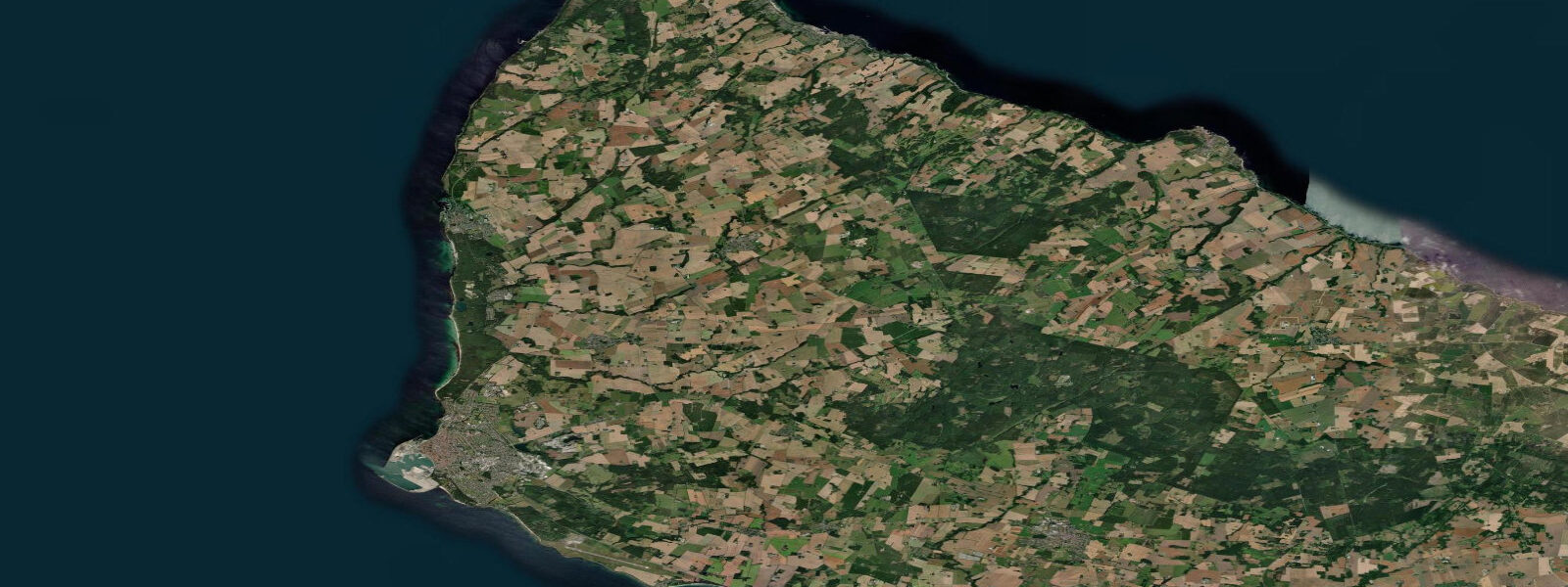
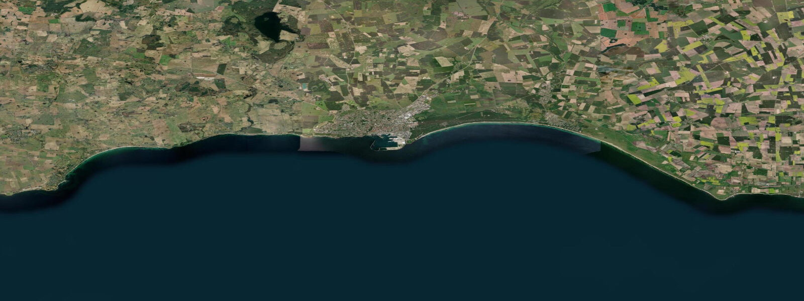
Rønne is the main port and largest town on Bornholm, sitting on the island's west coast facing Ystad in Sweden 37 km across the water. The ferry connection to Copenhagen takes 5.5 hours; the high-speed catamaran to Ystad runs in 80 minutes. For visiting boats, Rønne is the primary entry point to the island, with a well-equipped marina and a commercial harbour handling the bulk of the island's freight traffic.
The tidal range at Rønne is 0.03–0.05 m. This figure is not an approximation — the Baltic Sea is genuinely almost non-tidal. The Baltic connects to the North Sea through the narrow Danish straits (the Sound and the Belt), and those channels are so constricted that tidal energy dissipates almost entirely before reaching the open Baltic. What moves sea level at Rønne is not the Moon but the weather: a prolonged westerly blowing across the full width of the Baltic pushes water eastward and can raise the coast of Lithuania and Poland by 0.5 m or more while lowering Bornholm's western shore by a similar amount. The reverse applies for persistent easterlies. This wind-driven setup, called Stau in German and vindstuvning in Danish, is the dominant sea level signal on this coast.
For anyone planning activity based on sea level: there is no meaningful high water or low water at Rønne. The water is simply where it is, moved by yesterday's and today's wind. A nautical chart published with a chart datum of LAT (Lowest Astronomical Tide) is essentially identical to mean sea level here, because the tidal envelope is only 5 cm. The relevant forecast is the wind forecast and the accompanying sea level prediction from the Danish Meteorological Institute (DMI) storm surge model.
The granite harbour itself dates to the 17th century, rebuilt and extended multiple times. The old harbour area (Gamle Havn) retains a row of coloured boathouses and a fishing quay where the remaining small-scale fishery lands herring, cod, and flatfish. The smoked herring tradition — røget sild — is central to Bornholm's food identity. Fresh sild (Baltic herring) are caught mainly between April and June; autumn brings larger fish. The smokehouse chimney smell in the harbour area on a still morning is one of those sensory markers that becomes inseparable from the place.
Cycling is the primary activity on Bornholm, and Rønne is where most touring cyclists begin. The island has 235 km of marked cycling routes, many running along the coast. The western shore between Rønne and Hammershus 7 km north is a moderate 45-minute ride along the granite coast, with Hammershus castle ruins arriving on the clifftop as the most dramatic landmark. At 750 m long and perched on a 74 m basalt ridge, Hammershus is the largest medieval castle ruin in Scandinavia. Bring a tripod for photography at dawn when the ruins are lit from the east and the Baltic stretches west without a horizon.
Flatfish — plaice and flounder — are accessible to shore anglers on the shallow sandy sections south of Rønne, where depths of 2–5 m extend several hundred metres offshore. The Baltic flatfish do not track tidal cycles (there are none); feeding activity peaks in the two hours before and after dawn, and again at dusk. Lugworm digs in the sand south of the ferry terminal before each fishing session are common practice among local anglers.
Birding is productive on the island's west coast in spring migration: Rønne sits on the Bornholm–Rügen–Darss migration corridor, and visible migration of raptors, passerines, and waders can be spectacular in April and May with a southeast wind.
Tidal predictions here use the Open-Meteo Marine gridded model (±45 minutes on timing, ±0.3 m on height). Not for navigation.
Tide questions about Rønne
Quick answers to the most common questions about tide times, range, and water access at Rønne.
Why is the tidal range at Rønne only 3–5 cm when other Danish coasts have normal tides?
The Baltic Sea connects to the tidal North Sea only through the narrow Danish straits — the Sound and the Belts. These channels are so constricted that tidal energy is almost entirely dissipated before reaching the open Baltic. The result is a tidal range of 3–5 cm at Rønne, compared to 0.5–1.5 m at the North Sea entrance to the Sound at Helsingør. What moves sea level in Bornholm is wind setup (Stau): sustained westerlies or easterlies can raise or lower the coast by 0.3–0.5 m, swamping the astronomical tide entirely.
How do I get the ferry from Copenhagen to Rønne and how long does it take?
Bornholmslinjen operates the route. The overnight ferry from Copenhagen Nørreport (bus transfer to Køge harbour) takes approximately 6 hours and arrives at Rønne in the morning — useful for cyclists bringing bikes, who can start riding directly from the port. The day ferry from Køge takes 5.5 hours. The fast catamaran from Ystad in Sweden takes 80 minutes and is the quickest option if you are travelling from Malmö or southern Sweden. Book in advance for summer travel, particularly July and August, when bike spaces and cabins sell out weeks ahead.
What is the best day trip from Rønne for cycling and sightseeing?
The Rønne–Hammershus coastal loop is the classic: north along the western coast road (15 km), arriving at the Hammershus castle ruins on the basalt ridge above the sea, then returning via the inland route through the forest at Almindingen. The round trip is 35–45 km depending on route, rolling terrain, and takes 3–4 hours at a relaxed pace. Hammershus itself is free to enter and the views from the ramparts take in the full western Baltic. Arrive at dawn or dusk for the best photography light — midday in summer is crowded and the light is flat.
What fish can I catch shore fishing near Rønne and when?
Plaice and flounder are the main targets on the shallow sandy bottom south of Rønne, in 2–5 m water. Local anglers use lugworm (dug from the sand flats south of the ferry terminal) on a running ledger rig, cast 30–50 m. There is no tidal cycle to time fishing around — feeding peaks are dawn and dusk. April through June is productive as fish move inshore to feed. Cod fishing from the harbour breakwater is best in autumn and winter. A Danish fishing licence is required for shore fishing; day and week licences are available online at fisketegn.dk.
Is Hammershus worth the trip from Rønne and how do I get there?
Hammershus is the largest medieval castle ruin in Scandinavia and the most visited site on Bornholm — worth the 7 km trip from Rønne by any measure. By bicycle, the coastal road takes 45 minutes. By car, 10 minutes on route 38 north. A Bornholm bus runs hourly in summer. The ruins cover 750 m on a 74 m basalt ridge above the Baltic, with unobstructed views west and north. Entry is free, year-round. Dawn visits are recommended: the ruins catch the first light from the east, the Baltic stretches flat to the horizon, and the crowds arrive from 10:00 onwards.
2-day tide table — Rønne
Heights relative to MSL. Predictions: Open-Meteo Marine (MeteoFrance SMOC, 0.08° grid) — heights relative to MSL (not chart datum / LAT). Model-derived.
| Day | Type | Time | Height |
|---|---|---|---|
| Sat 27 Jun | — | ||
| Sun 28 Jun | High | 19:00 | -0.1m |