Santander tide times
Santander tide forecast — heights relative to MSL.
Today's tide times for Santander
Tide times at Santander on Friday, 19 June 2026: first low tide at 02:00, first high tide at 08:11, second low tide at 14:02, second high tide at 20:28. Sunrise 06:33, sunset 21:58.
Tide chart for Santander
24-hour cosine-interpolated curve around the present moment. Heights relative to MSL. Predictions: Predictions: Open-Meteo Marine (MeteoFrance SMOC, 0.08° grid).
Sun, moon and conditions on Fri 19 Jun
Snapshot at build time — refreshes daily. Sea state from Open-Meteo Marine.
Highs and lows next 7 days
Every predicted high and low for the next week, with the daily tidal coefficient (0–120; higher = bigger swing, > 95 means stronger currents).
Other spots nearby
The three closest curated TideTurtle locations to Santander, measured by great-circle distance.

Today's solunar windows
Solunar tradition: major periods are the ≈3h windows around moon transit and opposition; minor are ≈2h around moonrise and moonset. Pair with the local tide stage and wind for the best read.
Cycle dates near Santander
Last spring tide on Fri 19 Jun (range 3.5m). Next neap on Wed 24 Jun.
Spring tides cluster around new and full moons (biggest swings). Neap tides land on quarter moons (smallest swings). See the spring tide and neap tide glossary entries for the why.
About tides at Santander
A short guide to the coastline at Santander — geography, sea state, and what the tide is actually doing under your feet.
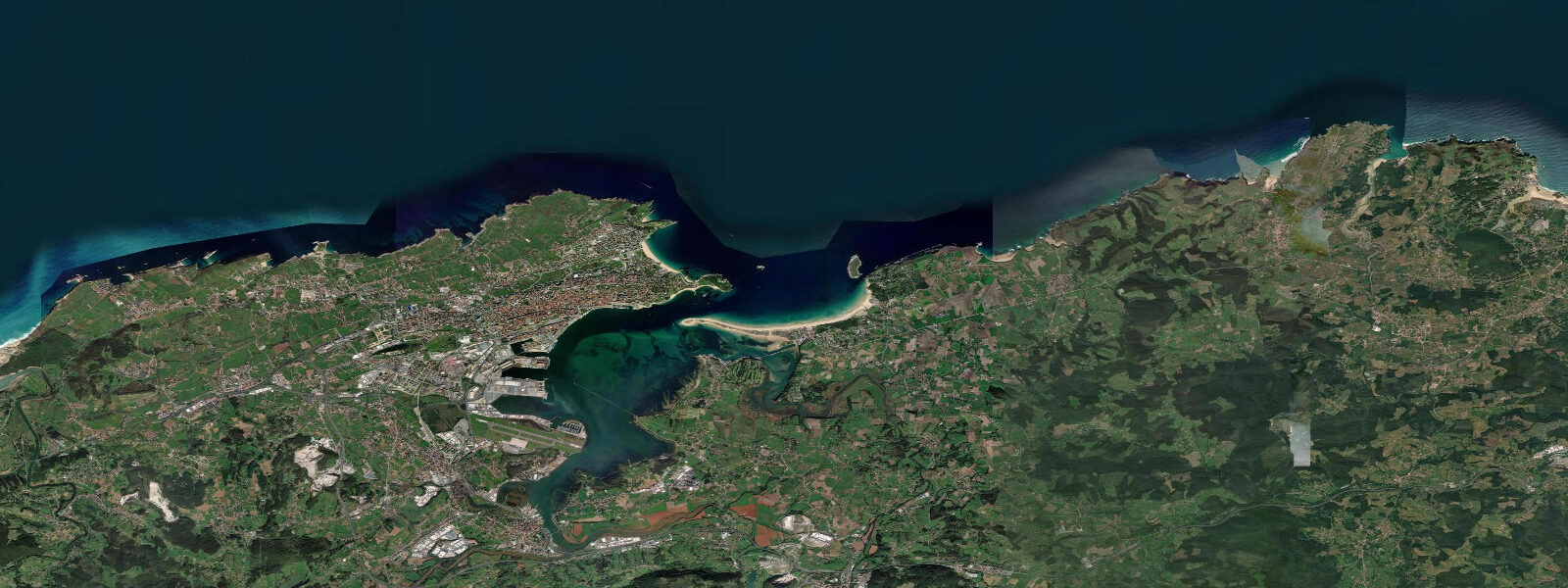
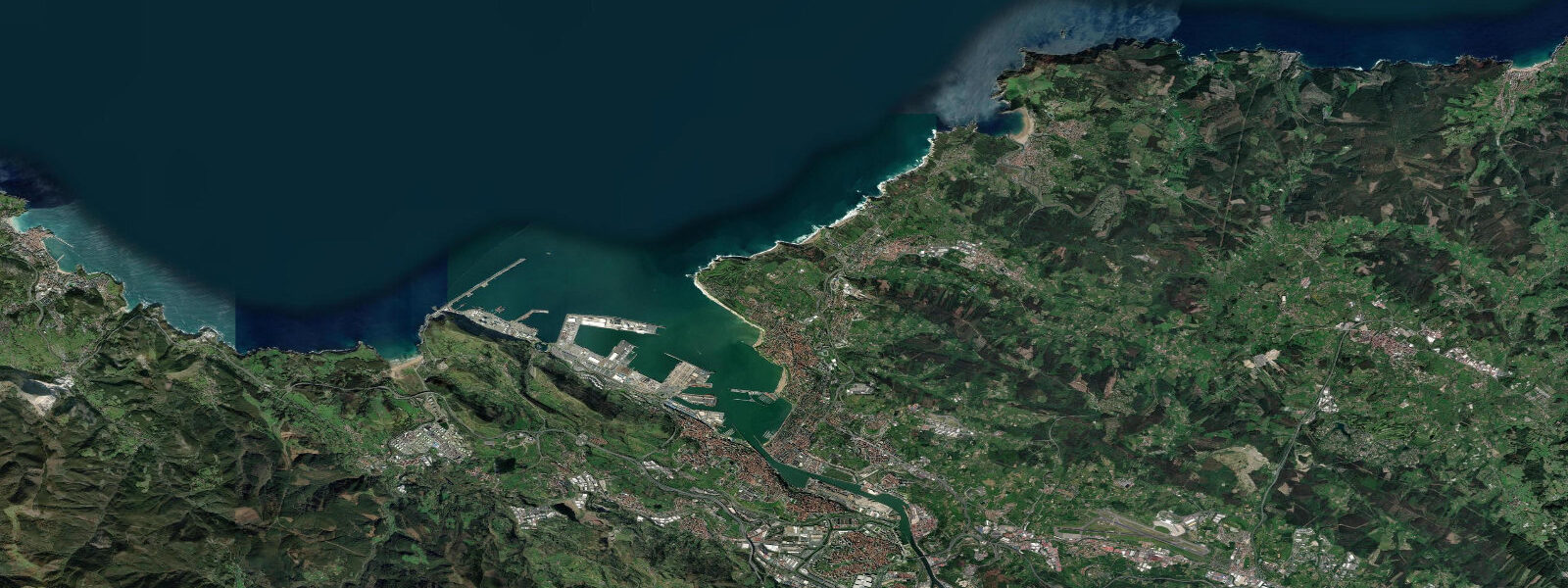
Santander faces the Bay of Biscay from Cantabria's northern coast — green hills, perpetual Atlantic moisture, and a city that rebuilt itself after a catastrophic fire destroyed the old quarter in 1941. What remains is a wide bay, a long sandy beach peninsula called La Magdalena, and a maritime culture shaped by the same heavy Atlantic swell that defines the Basque coast to the east and Asturias to the west.
Tidal range at Santander is significant: 4.0 to 5.0 metres at springs. This is full Atlantic macro-tidal territory — the Bay of Biscay is a north-facing embayment that amplifies tidal movement from the North Atlantic. At low tide, the bay reveals extensive tidal flats in the inner estuary and the beaches widen dramatically. El Sardinero, the city's main beach, extends well beyond its high-tide dimensions at low water. Timing is material for surfers, swimmers, and anyone using the beach paths around the Magdalena Peninsula.
El Sardinero and Segunda Playa del Sardinero — two linked beaches on the eastern side of the peninsula — are the main surf breaks. Northwest and north swells funnel into the bay; mid-tide is typically the best window before the low-tide sand flats flatten the waves. The Playa de Los Bikinis and Playa de La Magdalena, on the bay side, are sheltered and suit swimmers and families. Kayak and SUP rentals concentrate at the calmer bay beaches.
The Magdalena Peninsula hosts the royal summer palace (Palacio de La Magdalena), ceded by the city to Alfonso XIII in 1912 and now used by the Universidad Internacional Menéndez Pelayo for summer courses. The palace gardens are public and provide some of the best views of the bay. The coastal path around the peninsula connects all beach areas and remains one of the most rewarding 4-kilometre walks in northern Spain.
Cantabrian gastronomy at Santander centres on the seafood landed at Puerto Chico: anchoas (anchovies), kokotxas (cod cheeks), rabas (battered squid rings), and the fresh-catch display at the Mercado de La Esperanza. The anchovy curing industry on this coast was established by Sicilian migrants in the nineteenth century and defines the region's most exported product. Bar Laredo and the Calle Daoiz y Velarde pintxo strip are the evening focus.
Predictions on this page come from Open-Meteo Marine, a gridded global ocean model. Accuracy is typically within plus or minus 45 minutes on timing and 0.2 to 0.3 metres on height — model-derived, not from a local gauge. For authoritative Spanish tide data, consult Puertos del Estado.
Tide questions about Santander
Quick answers to the most common questions about tide times, range, and water access at Santander.
What is the tidal range at Santander?
Santander has a spring tidal range of 4.0 to 5.0 metres — full macro-tidal Bay of Biscay. Low tide exposes extensive sand and tidal flats in the inner bay; high tide covers them completely. The beaches at El Sardinero widen dramatically at low water. Tidal state matters for surfing (best window is mid-tide), beach access around the Magdalena Peninsula, and navigating the inner estuary by kayak or small boat.
Is El Sardinero beach good for surfing?
Yes, on northwest and north swells. The best conditions are mid-tide, when the sand banks hold wave shape before the low-tide flats drain the power. Peak surf season is October through April when North Atlantic storm tracks generate consistent swell. Summer produces smaller, cleaner conditions more suitable for beginner lessons. Santander Surf Club runs lessons from the beach; several shops hire boards and wetsuits on the Sardinero promenade.
Can I walk around the Magdalena Peninsula?
Yes — the full loop is approximately 4 kilometres on well-maintained coastal paths. The route passes El Sardinero beach, the rocky northern headland, the royal palace gardens (publicly accessible), and returns via the sheltered bay beaches (Bikinis, La Magdalena). The palace gardens are open most of the year. Total walking time is about 60–75 minutes at a relaxed pace. The northernmost point gives views toward the Cantabrian mountains.
What are rabas and where should I try them in Santander?
Rabas are the Cantabrian version of calamari — battered squid rings, usually made from local jibia (cuttlefish) rather than imported squid, fried in light batter and served hot. They are the definitive Santander bar snack. The best versions are found in the bars around the Puerto Chico fishing harbour and along Calle Daoiz y Velarde. Avoid tourist-facing menus on the Sardinero promenade, which tend to use cheaper imported squid.
When does Santander get the best surf conditions?
October through April is the consistent swell season, driven by North Atlantic storms. The best quality surf arrives on northwest swells of 1.5–3.0 metres, with offshore or light east winds keeping faces clean. January and February can produce large, powerful swells (3–5 metres face) suited to experienced surfers only. Summer (June–August) is smaller — chest-high on better days — but warmer and more suitable for lessons. Water temperature ranges from 13°C in winter to 20°C in August.
8-day tide table — Santander
Heights relative to MSL. Predictions: Open-Meteo Marine (MeteoFrance SMOC, 0.08° grid) — heights relative to MSL (not chart datum / LAT). Model-derived.
| Day | Type | Time | Height |
|---|---|---|---|
| Fri 19 Jun | Low | 02:00 | -2.2m |
| High | 08:11 | 1.1m | |
| Low | 14:02 | -1.9m | |
| High | 20:28 | 1.3m | |
| Sat 20 Jun | Low | 02:42 | -2.0m |
| High | 09:04 | 0.9m | |
| Low | 14:56 | -1.7m | |
| High | 21:24 | 1.1m | |
| Sun 21 Jun | Low | 03:37 | -1.8m |
| High | 10:01 | 0.7m | |
| Low | 15:52 | -1.5m | |
| High | 22:18 | 0.9m | |
| Mon 22 Jun | Low | 04:34 | -1.6m |
| High | 11:01 | 0.6m | |
| Low | 16:54 | -1.4m | |
| High | 23:21 | 0.6m | |
| Tue 23 Jun | Low | 05:34 | -1.5m |
| High | 12:02 | 0.5m | |
| Low | 17:57 | -1.3m | |
| Wed 24 Jun | High | 00:27 | 0.5m |
| Low | 06:32 | -1.4m | |
| High | 13:05 | 0.5m | |
| Low | 19:03 | -1.3m | |
| Thu 25 Jun | High | 01:32 | 0.5m |
| Low | 07:32 | -1.3m | |
| High | 14:01 | 0.6m | |
| Low | 20:02 | -1.3m | |
| Fri 26 Jun | High | 01:00 | 0.3m |