
Santander tide times
Santander tide forecast — heights relative to MSL.
Today's tide times for Santander
Tide times at Santander on Friday, 31 July 2026: first low tide at 02:00, first high tide at 05:58, second low tide at 11:55, second high tide at 18:10. Sunrise 07:02, sunset 21:40.
Tide chart for Santander
24-hour cosine-interpolated curve around the present moment. Heights relative to MSL. Predictions: Predictions: Open-Meteo Marine (MeteoFrance SMOC, 0.08° grid).
Sun, moon and conditions on Fri 31 Jul
Snapshot at build time — refreshes daily. Sea state from Open-Meteo Marine.
Highs and lows next 7 days
Every predicted high and low for the next week, with the daily tidal coefficient (0–120; higher = bigger swing, > 95 means stronger currents).
Other spots nearby
The three closest curated TideTurtle locations to Santander, measured by great-circle distance.
Today's solunar windows
Solunar tradition: major periods are the ≈3h windows around moon transit and opposition; minor are ≈2h around moonrise and moonset. Pair with the local tide stage and wind for the best read.
Cycle dates near Santander
Next spring tide on Sat 01 Aug (range 3.4m). Next neap on Thu 06 Aug.
Spring tides cluster around new and full moons (biggest swings). Neap tides land on quarter moons (smallest swings). See the spring tide and neap tide glossary entries for the why.
About tides at Santander
A short guide to the coastline at Santander — geography, sea state, and what the tide is actually doing under your feet.
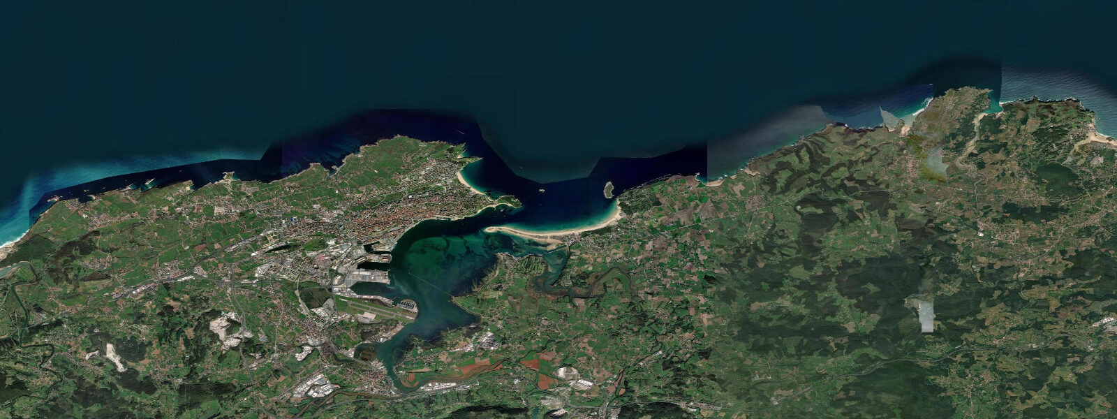
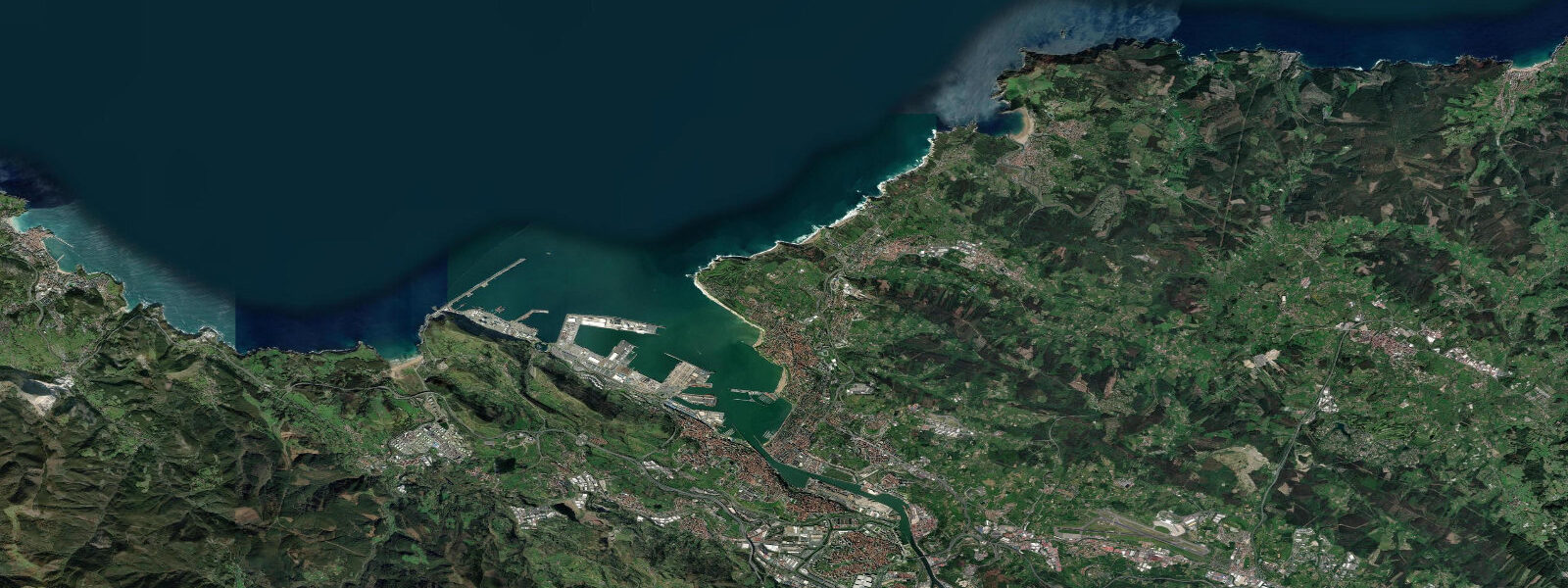
Santander sits at the mouth of a large ría — a drowned river valley carved by Pleistocene glaciation and now drowned by post-glacial sea level rise — on the southern shore of the Bay of Biscay. The bay itself is a broad semicircular body of water almost 50 kilometres across at its widest, open to the ocean to the north and sheltered by the mountainous Cantabrian coast to the south. 0 metres, semidiurnal, making it one of the largest tide regimes on the Spanish coast and a sharp contrast to the negligible tides of the Mediterranean Spain that most visitors picture.
5 metres. The city occupies the northern shore of the ría, looking across the water to the Somo and Loredo beaches on the southern spit. El Sardinero, on the exposed Atlantic side of the peninsula northeast of the city centre, is the city's famous beach — a wide, gently curved strand exposed to the Bay of Biscay swell that has been the summer destination for the Spanish royal family and Madrid's upper class since the early 20th century.
The Palacio de la Magdalena, the royal summer palace completed in 1912 and donated to the city by the people of Santander in 1941, sits on the headland at the eastern end of El Sardinero. At low tide, El Sardinero is a wide, firm, family-scale beach. At high tide, the waves run close to the seawall.
Two kilometres south of El Sardinero, across the narrow water at the bay entrance, Playa de El Puntal is the sandspit beach that runs along the southern shore of the bay mouth. El Puntal is one of the most tide-dependent beaches on the Cantabrian coast. There is no road to it.
At high tide, the water around the spit is several metres deep and the only access is the small passenger boat (El Puntal ferry) that runs from the Embarcadero de Pereda in central Santander during the summer season. As the tide falls, the sandflat on the bay side of the spit progressively dries and, by the time the tide is within 90 minutes of its predicted low, it is possible to wade across from the Somo beach. By low water, the connection is firm sand.
The timing matters: anyone planning to walk to El Puntal from Somo needs to check the tide table in advance, because the window between accessible and stranded is only a few hours. The Somo beach itself, across the bay from the city, is the surf coast. 0 metres means the surf break character changes completely between high and low tide — the bank that works at half tide may be closed out at high and dry at low, and the paddle from the beach to the break is substantially longer on the ebb.
The Cantabrian surf community has been riding these waves since the 1970s and the local knowledge about which breaks work on which tide state is detailed. The Atlantic swell pattern along the Cantabrian coast is strongest through autumn and winter, when frontal systems tracking across the North Atlantic send west and northwest groundswell into the Bay of Biscay. The Picos de Europa, visible on the southern skyline from Santander on a clear day, catch the same Atlantic weather systems that drive the swell.
The bay estuary itself holds a rich ecosystem — the intertidal flats exposed on the ebb are feeding habitat for wading birds, and the channels hold sea bass that move with the tidal current. Anglers working the bay target the tide-driven feeding patterns along the channel edges and the sea walls at the bay mouth. The predictions on this page come from Open-Meteo Marine, a gridded global ocean model.
3 metres on height — model-derived, not from the Santander gauge. Puertos del Estado operates the Santander sea-level station, one of the longest and most complete tide records on the northern Spanish coast. The Instituto Hidrográfico de la Marina publishes the official Spanish tide almanac covering the Bay of Biscay.
Tide questions about Santander
Quick answers to the most common questions about tide times, range, and water access at Santander.
What is the tide range at Santander?
Mean tidal range at Santander is 3.5 to 4.0 metres — semidiurnal, two high tides and two low tides per day. Spring tides around new and full moons push the range to 4 metres or slightly above; neap tides (first and third quarter moon) reduce it to 2 to 2.5 metres. This is the largest tidal range on the Spanish Atlantic coast south of the French border and one of the defining characteristics of the Cantabrian coast. Puertos del Estado operates the Santander gauge and publishes real-time sea-level data. The Instituto Hidrográfico de la Marina covers the Bay of Biscay in the official Spanish tide almanac.
How do I get to Playa de El Puntal and when can I walk across?
El Puntal has no road access. The passenger ferry from Embarcadero de Pereda in central Santander runs during summer months and is the reliable option regardless of tide state. On foot from Somo beach on the southern shore, the crossing is possible only around low tide — the sandflat between Somo and El Puntal dries progressively on the ebb and is firm sand within about 90 minutes either side of the predicted low. Check the tide table before walking: a 3.5 to 4.0 metre tide means the difference between knee-deep water and exposed sand is a matter of hours. Do not attempt the crossing on a rising tide without knowing the timing precisely.
How does the tide affect surfing at Somo and El Sardinero?
Significantly. A 3.5 to 4.0 metre tidal range moves the surf break through the full range of intertidal zones over six hours. The banks that produce clean surf at mid-tide may be too shallow at low tide or too deep to break properly at high. At El Sardinero, the shape is typically best at mid to three-quarter tide on a smaller swell; at Somo, local knowledge of the bank positions and how they work at each tide state is the effective guide. The paddle from the beach to the lineup is substantially longer at low tide. The Cantabrian surf community has been reading these tide-break relationships for decades and the local crew at the surf schools know the current conditions.
Why is Santander's tide so much larger than Mediterranean Spain?
The Bay of Biscay is a semi-enclosed Atlantic basin whose geometry amplifies the incoming Atlantic tidal signal. The Cantabrian coast at the bay's southern end receives a tidal range of 3.5 to 5 metres, while the same Atlantic tide signal reaching Spain's Mediterranean coast is attenuated to 0.1 to 0.5 metres by the restricted exchange through the Strait of Gibraltar. Santander's position at the head of its ría inside the Bay of Biscay adds a small additional resonance effect to the baseline Atlantic tidal range. The result is one of the genuinely macrotidal coasts of Western Europe.
Where do these tide predictions come from, and how accurate are they?
Open-Meteo Marine, a free gridded global ocean model. Predictions are model-derived, not from the Santander gauge — accuracy is typically within plus or minus 45 minutes on timing and 0.2 to 0.3 metres on height. For Santander's 3.5 to 4.0 metre range, the height uncertainty is around 5 to 8% of the typical swing — proportionally small, which means the tide curve shown is a reliable planning reference. For navigation and precise operations in the ría and bay entrance, use Puertos del Estado gauge data and the official IHM tide almanac. The timing caveat (plus or minus 45 minutes) is the relevant constraint for planning activities like the El Puntal walk.
8-day tide table — Santander
Heights relative to MSL. Predictions: Open-Meteo Marine (MeteoFrance SMOC, 0.08° grid) — heights relative to MSL (not chart datum / LAT). Model-derived.
| Day | Type | Time | Height |
|---|---|---|---|
| Fri 31 Jul | Low | 02:00 | -1.1m |
| High | 05:58 | 1.0m | |
| Low | 11:55 | -1.9m | |
| High | 18:10 | 1.3m | |
| Sat 01 Aug | Low | 00:24 | -2.0m |
| High | 18:41 | 1.3m | |
| Sun 02 Aug | Low | 00:56 | -2.0m |
| High | 07:04 | 1.1m | |
| Low | 13:03 | -1.9m | |
| High | 19:16 | 1.3m | |
| Mon 03 Aug | Low | 13:41 | -1.8m |
| High | 19:52 | 1.2m | |
| Tue 04 Aug | Low | 02:07 | -1.9m |
| High | 08:17 | 1.0m | |
| Low | 14:21 | -1.7m | |
| High | 20:35 | 1.1m | |
| Wed 05 Aug | Low | 02:50 | -1.7m |
| High | 09:04 | 0.8m | |
| Low | 15:07 | -1.6m | |
| High | 21:23 | 0.9m | |
| Thu 06 Aug | Low | 03:38 | -1.5m |
| High | 09:57 | 0.7m | |
| Low | 16:08 | -1.4m | |
| High | 22:25 | 0.7m | |
| Fri 07 Aug | Low | 01:00 | -0.0m |