San Vicente de la Barquera tide times
San Vicente de la Barquera tide forecast — heights relative to MSL.
Today's tide times for San Vicente de la Barquera
Tide times at San Vicente de la Barquera on Friday, 19 June 2026: first low tide at 02:00, first high tide at 08:10, second low tide at 14:02, second high tide at 20:28. Sunrise 06:36, sunset 22:00.
Tide chart for San Vicente de la Barquera
24-hour cosine-interpolated curve around the present moment. Heights relative to MSL. Predictions: Predictions: Open-Meteo Marine (MeteoFrance SMOC, 0.08° grid).
Sun, moon and conditions on Fri 19 Jun
Snapshot at build time — refreshes daily. Sea state from Open-Meteo Marine.
Highs and lows next 7 days
Every predicted high and low for the next week, with the daily tidal coefficient (0–120; higher = bigger swing, > 95 means stronger currents).
Other spots nearby
The three closest curated TideTurtle locations to San Vicente de la Barquera, measured by great-circle distance.

Today's solunar windows
Solunar tradition: major periods are the ≈3h windows around moon transit and opposition; minor are ≈2h around moonrise and moonset. Pair with the local tide stage and wind for the best read.
Cycle dates near San Vicente de la Barquera
Last spring tide on Fri 19 Jun (range 3.5m). Next neap on Wed 24 Jun.
Spring tides cluster around new and full moons (biggest swings). Neap tides land on quarter moons (smallest swings). See the spring tide and neap tide glossary entries for the why.
About tides at San Vicente de la Barquera
A short guide to the coastline at San Vicente de la Barquera — geography, sea state, and what the tide is actually doing under your feet.
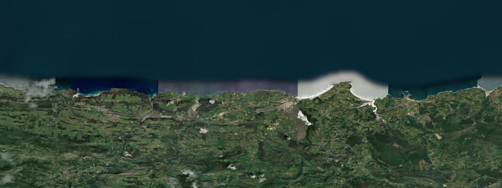
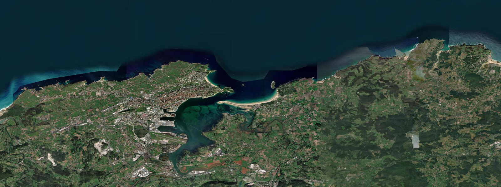
San Vicente de la Barquera is the kind of Cantabrian town that looks like a travel magazine cover when the tide is in: a medieval castle on the hill, a double-arched bridge crossing to the town, and a ría full of boats against a mountain backdrop. When the tide drops — and it drops 4 to 5 metres at springs — the estuary becomes an expanse of mudflats and channels that herons, egrets, and oystercatchers treat as private territory. Both versions are worth seeing.
The tidal range here is Bay of Biscay standard: 4.0 to 5.0 metres at springs. The ría of San Vicente is a classic drowned river valley; at high tide, small boats can navigate 3 kilometres upstream to the bridge. At low tide, the main channels are narrow and the rest is exposed estuary. For kayakers and SUP paddlers, the inner ría at mid-to-high tide is an exceptional environment — flat water, birdlife, mountain views, and the medieval roofline above the bridge.
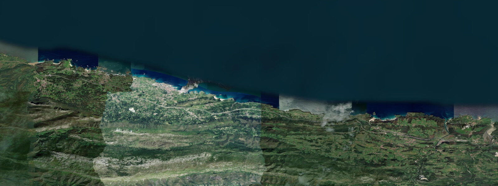
The open coast west of the town has the surf. Merón beach — one of the best in Cantabria — stretches 2.5 kilometres and catches northwest and north swells that the Cantabrian coast consistently produces from autumn through spring. The beach break at Merón produces beach-break peaks across its width; the western end near the Maza rocks occasionally offers a more defined right-hander on larger swells. The beach is backed by the protected Dunas de Oyambre natural park, which has kept development off the dune system.
Oyambre natural park extends along the coast from San Vicente east toward Comillas and west toward Llanes; the park status has preserved one of the most intact sections of the Cantabrian coast from the road development that fragmented similar habitats in the Basque country. The park beaches — La Revilla, El Tejo, and the Oyambre beach itself — are accessible on foot from San Vicente or by parking at the park access points. At low tide, the beach widths double and the whole system becomes walkable.
San Vicente's gastronomy is anchored by the merluza (hake) and rape (monkfish) caught in the Bay of Biscay. The town has had a fishing fleet since at least the thirteenth century, when it was one of the Four Villas of the Cantabrian coast with rights to the English wool trade. The Restaurante Annua (one Michelin star) has operated from the town since 2003 and built a national reputation for contemporary Cantabrian seafood.
Predictions on this page come from Open-Meteo Marine, a gridded global ocean model. Accuracy is typically within plus or minus 45 minutes on timing and 0.2 to 0.3 metres on height — model-derived, not from a local gauge. For authoritative Spanish tide data, consult Puertos del Estado.
Tide questions about San Vicente de la Barquera
Quick answers to the most common questions about tide times, range, and water access at San Vicente de la Barquera.
What is the tidal range at San Vicente de la Barquera?
Spring tidal range is 4.0 to 5.0 metres — Bay of Biscay macro-tidal. The effect on the ría is dramatic: at high tide the estuary fills and looks like a harbour; at low tide it becomes an expanse of channels and mudflats. For kayaking and SUP, the best window in the ría is two hours either side of high tide. For surf at Merón beach, mid-tide is typically the cleanest window.
Where is the surf at San Vicente de la Barquera?
Playa de Merón, a 2.5-kilometre beach immediately west of the town, is the main surf spot. It is an exposed beach break that catches northwest and north swells. The western end near the Maza rocks can produce a right-hander on larger swells. Best conditions are October through April during North Atlantic swell season. The natural park backing the dunes has prevented development and the beach remains uncrowded by Cantabrian standards.
Can I kayak in the ría at San Vicente?
Yes — the inner ría at mid-to-high tide is one of the more rewarding flat-water kayak environments in Cantabria. Rental is available in the town. At high tide the navigable length extends 3 kilometres upstream; at low tide it narrows to the main channels. The birdlife is exceptional (herons, egrets, oystercatchers, terns), and the views of the castle and mountain backdrop from the water are the best available perspective on the town.
Is the Oyambre natural park suitable for walking?
Yes. The park has several marked routes from San Vicente connecting to the park beaches (La Revilla, El Tejo, Oyambre) and the Comillas headland to the east. The most popular walk is the coastal path to the Oyambre beach and headland: approximately 7 kilometres return with good path surfaces and views over the open coast. The dune system at low tide is walkable and impressively intact for this stretch of coast.
What is the best time of year to visit San Vicente de la Barquera?
June and September are the practical optimum: the green hills are at their best, sea temperatures are 18–20°C, swell is present but not overwhelming, and visitor numbers are below summer peak. July and August are warm (20–22°C sea, 22–25°C air) but the parking at Merón and Oyambre fills by 09:00. Winter (December–February) has the best surf and dramatic light, but rain and Tramontane cold fronts require planning.
8-day tide table — San Vicente de la Barquera
Heights relative to MSL. Predictions: Open-Meteo Marine (MeteoFrance SMOC, 0.08° grid) — heights relative to MSL (not chart datum / LAT). Model-derived.
| Day | Type | Time | Height |
|---|---|---|---|
| Fri 19 Jun | Low | 02:00 | -2.2m |
| High | 08:10 | 1.1m | |
| Low | 14:02 | -1.9m | |
| High | 20:28 | 1.3m | |
| Sat 20 Jun | Low | 02:44 | -2.0m |
| High | 09:04 | 0.9m | |
| Low | 14:55 | -1.7m | |
| High | 21:20 | 1.1m | |
| Sun 21 Jun | Low | 03:37 | -1.8m |
| High | 10:00 | 0.7m | |
| Low | 15:51 | -1.5m | |
| High | 22:20 | 0.9m | |
| Mon 22 Jun | Low | 04:34 | -1.6m |
| High | 11:01 | 0.6m | |
| Low | 16:54 | -1.4m | |
| High | 23:21 | 0.6m | |
| Tue 23 Jun | Low | 05:34 | -1.5m |
| High | 12:02 | 0.5m | |
| Low | 17:57 | -1.3m | |
| Wed 24 Jun | High | 00:27 | 0.5m |
| Low | 06:32 | -1.4m | |
| High | 13:04 | 0.5m | |
| Low | 19:02 | -1.3m | |
| Thu 25 Jun | High | 01:32 | 0.5m |
| Low | 07:32 | -1.3m | |
| High | 14:00 | 0.6m | |
| Low | 20:02 | -1.3m | |
| Fri 26 Jun | High | 01:00 | 0.3m |