Palma de Mallorca tide times
Palma de Mallorca tide forecast — heights relative to MSL.
Tide chart for Palma de Mallorca
24-hour cosine-interpolated curve around the present moment. Heights relative to MSL. Predictions: Predictions: Open-Meteo Marine (MeteoFrance SMOC, 0.08° grid).
Sun, moon and conditions on Sun 26 Jul
Snapshot at build time — refreshes daily. Sea state from Open-Meteo Marine.
Highs and lows next 7 days
Every predicted high and low for the next week, with the daily tidal coefficient (0–120; higher = bigger swing, > 95 means stronger currents).
Other spots nearby
The three closest curated TideTurtle locations to Palma de Mallorca, measured by great-circle distance.
Today's solunar windows
Solunar tradition: major periods are the ≈3h windows around moon transit and opposition; minor are ≈2h around moonrise and moonset. Pair with the local tide stage and wind for the best read.
About tides at Palma de Mallorca
A short guide to the coastline at Palma de Mallorca — geography, sea state, and what the tide is actually doing under your feet.
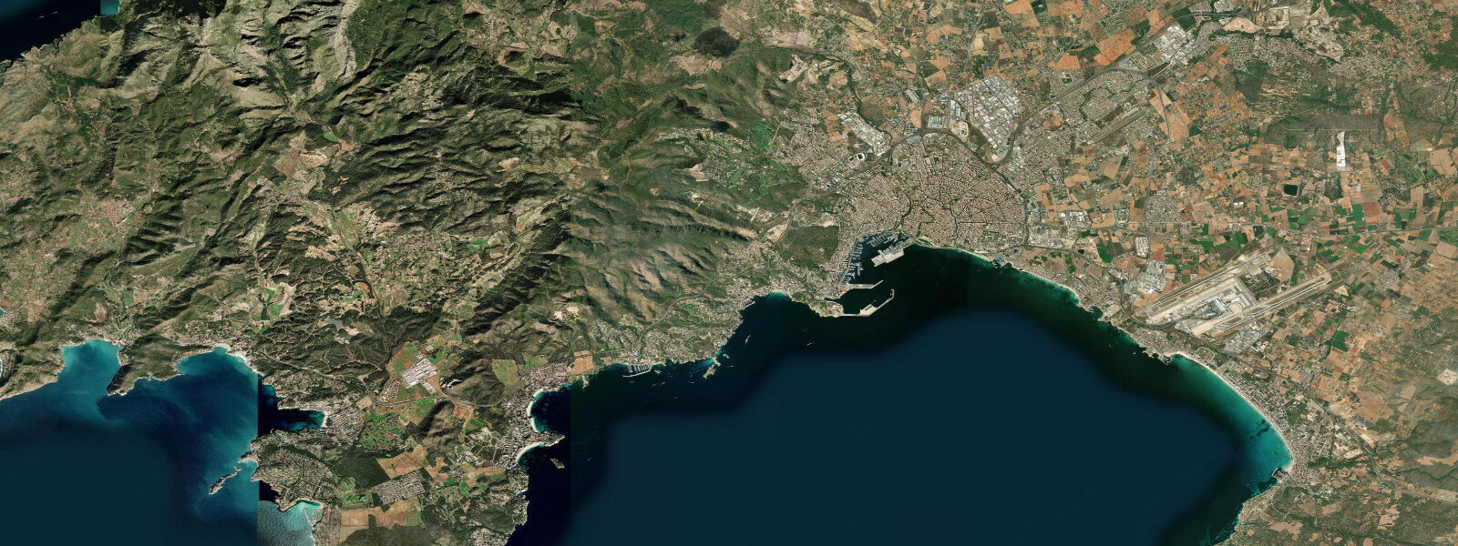
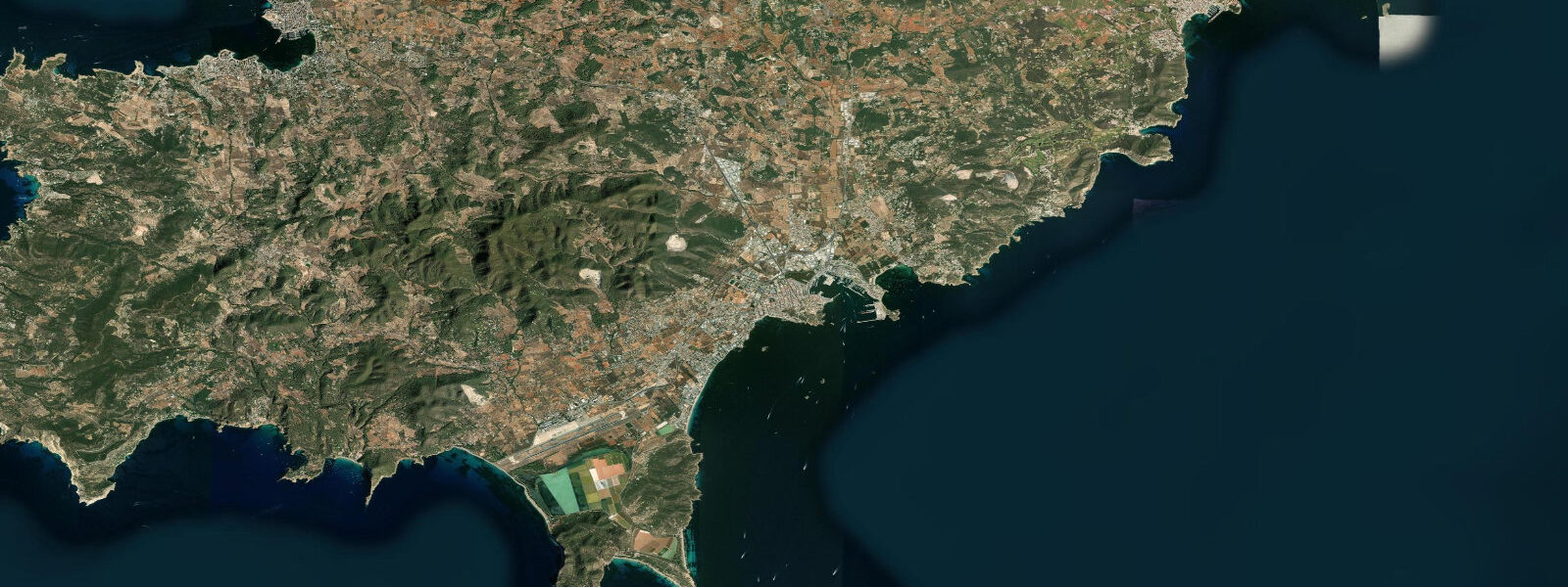
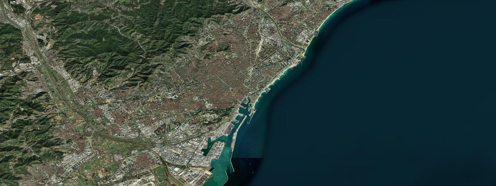
Palma sits at the head of the Bay of Palma on the south-west coast of Mallorca, the largest of the Balearic Islands. 3 metres and neaps closer to flat. The astronomical signal is genuinely tiny because the Mediterranean is a nearly enclosed basin and the Atlantic tide cannot propagate cleanly through the narrow Strait of Gibraltar.
What this coast actually responds to on a day-to-day basis is meteorological tide — air pressure changes lift or drop sea level by a few centimetres on a calm day, and a strong tramontana wind from the north or a sirocco from the south can shift water level 20 to 30 cm in a matter of hours. The phenomenon known locally as a rissaga — a Mediterranean meteotsunami driven by atmospheric pressure waves — produces sudden water-level changes in harbours that face open water at the right angle. Ciutadella on Menorca's western coast is the most famous rissaga harbour, but the bays around Mallorca see the same effect at smaller amplitude.
Sailors timing harbour exits at Palma's marinas, paddleboarders launching from Cala Major, and snorkellers at Cala Llombards or Es Trenc all read the wider weather pattern more than the tide table. Open-Meteo Marine drives the gridded predictions on this page; Puertos del Estado runs the authoritative Mediterranean gauge network.
Tide questions about Palma de Mallorca
Quick answers to the most common questions about tide times, range, and water access at Palma de Mallorca.
When is the next high tide at Palma?
The hero block shows the next high tide at Palma harbour in local Madrid time (CET in winter, CEST in summer). The 7-day table covers daily extremes — though for the Mediterranean the swing is small enough that the difference between high and low can be near the resolution of the gridded model on quiet days.
Why is the tide so small in the Mediterranean?
The Mediterranean is a nearly enclosed sea connected to the Atlantic only through the narrow Strait of Gibraltar. The Atlantic semidiurnal tide cannot propagate cleanly through the strait, and the basin is too small to host its own significant astronomical tide. Mean range across most of the western Med — Mallorca, the Spanish mainland, Sardinia, Corsica — is 0.2 to 0.3 metres. The eastern basin is similarly small.
What is a rissaga?
A rissaga (Catalan; rissagas in Spanish) is a Mediterranean meteotsunami — a sudden sea-level oscillation in a harbour driven by atmospheric pressure waves coupling with the basin's natural resonance. Ciutadella on Menorca is the most famous case, where surges of 1 to 2 metres can hit in minutes. Mallorcan harbours see smaller versions; the underlying physics is the same. They are not predictable from the tide table — rissaga forecasts come from the Spanish meteorological agency AEMET when conditions look right.
Where do these tide predictions come from?
Open-Meteo Marine, a gridded global ocean model. Useful for general planning around the bay and the marinas, though for the small Mediterranean signal the gridded resolution sometimes shows more noise than swing. For authoritative Spanish tide data, Puertos del Estado runs the official Mediterranean gauge network including Palma and Ibiza.
Is this safe to use for navigation?
No. For piloting in or out of Palma's harbours, transiting the bay, or working the calas use Puertos del Estado's authoritative tide tables, the Instituto Hidrográfico de la Marina chart products, and the latest Spanish coastguard notices. Rissaga events override normal tidal predictions and the local Capitanía Marítima publishes specific guidance when conditions look right.
2-day tide table — Palma de Mallorca
Heights relative to MSL. Predictions: Open-Meteo Marine (MeteoFrance SMOC, 0.08° grid) — heights relative to MSL (not chart datum / LAT). Model-derived.
| Day | Type | Time | Height |
|---|---|---|---|
| Sun 26 Jul | — | ||
| Mon 27 Jul | Low | 13:00 | -0.6m |