Ibiza, Balearic Islands tide times
Ibiza, Balearic Islands tide forecast — heights relative to MSL.
Today's tide times for Ibiza, Balearic Islands
Tide times at Ibiza, Balearic Islands on Friday, 19 June 2026: first high tide at 02:00, first low tide at 14:00. Sunrise 06:28, sunset 21:22.
Tide chart for Ibiza, Balearic Islands
24-hour cosine-interpolated curve around the present moment. Heights relative to MSL. Predictions: Predictions: Open-Meteo Marine (MeteoFrance SMOC, 0.08° grid).
Sun, moon and conditions on Fri 19 Jun
Snapshot at build time — refreshes daily. Sea state from Open-Meteo Marine.
Highs and lows next 7 days
Every predicted high and low for the next week, with the daily tidal coefficient (0–120; higher = bigger swing, > 95 means stronger currents).
Other spots nearby
The three closest curated TideTurtle locations to Ibiza, Balearic Islands, measured by great-circle distance.

Today's solunar windows
Solunar tradition: major periods are the ≈3h windows around moon transit and opposition; minor are ≈2h around moonrise and moonset. Pair with the local tide stage and wind for the best read.
About tides at Ibiza, Balearic Islands
A short guide to the coastline at Ibiza, Balearic Islands — geography, sea state, and what the tide is actually doing under your feet.
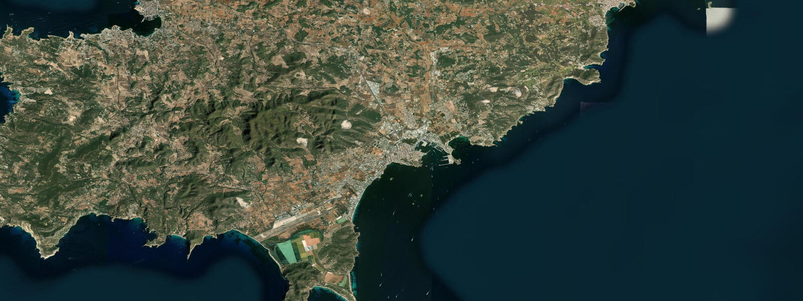
Ibiza — Eivissa in Catalan, the language with official status on the island — sits in the western Mediterranean 80 kilometres off the Valencia coast. The Mediterranean is a nearly landlocked sea with a restricted connection to the Atlantic through the Strait of Gibraltar, and this geometry produces one of the smallest tidal ranges of any European coastline. At Ibiza the spring tidal range is 0.10 to 0.25 metres. That figure is not a misprint: the sea here rises and falls roughly the height of a car key on the biggest tides of the year.
The tidal pattern is mixed semidiurnal with pronounced diurnal inequality. On many days, one of the two daily tides so dominates the cycle that the pattern resembles a single tide per day — a high and a low separated by roughly 12 hours, with the secondary high or low barely detectable. The practical result for anyone planning activities in or on the water: tidal state is largely irrelevant to safety, access, and timing decisions at Ibiza. Wind direction, swell exposure, and ferry schedules matter more.
What the western Mediterranean does have instead of tides is exceptional water clarity, and that clarity is directly connected to the seagrass meadows of Posidonia oceanica that cover the seafloor around Ibiza and Formentera. Posidonia is a flowering plant — not an alga — that forms dense meadows in water from 1 to 35 metres depth. The meadows filter particulates, oxygenate the water column, and stabilise the seabed. The result is visibility routinely reaching 20 to 30 metres in summer. The Posidonia meadows around Ibiza and Formentera are designated a UNESCO World Heritage Site (part of the broader Pitiusas Islands marine habitat designation) and a Natura 2000 protected area. Anchoring directly over the meadows is prohibited under Spanish law; vessels are required to use designated mooring buoys in protected zones or anchor only on sand between patches.
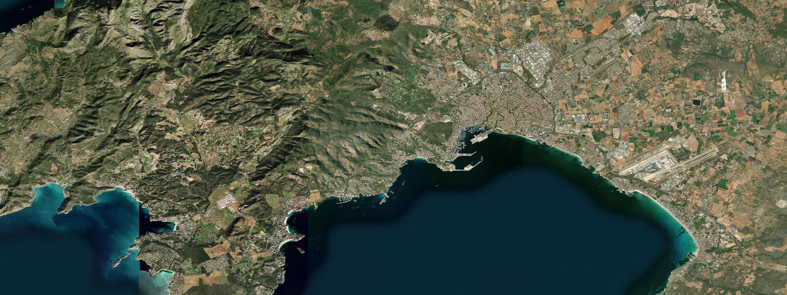
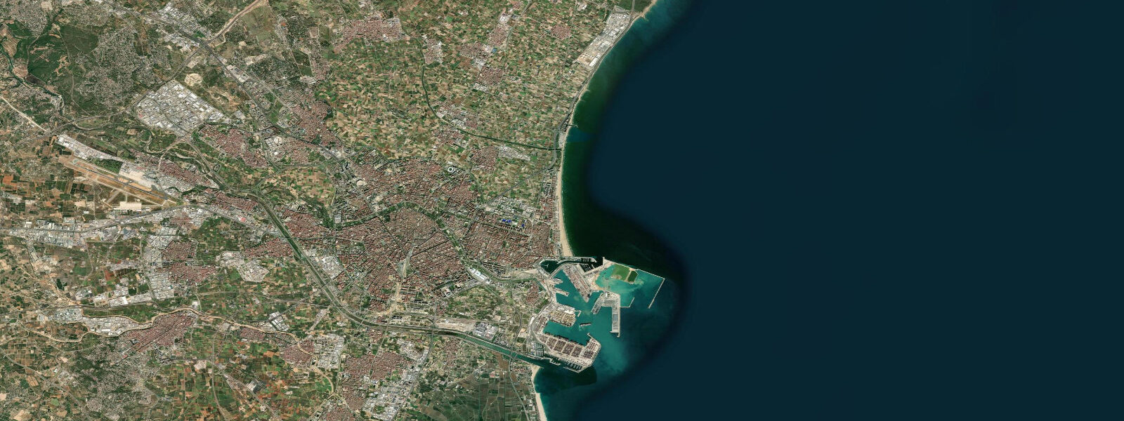
The Dalt Vila — the UNESCO-listed Old Town — occupies a promontory above the harbour. The 16th-century Renaissance walls, built under Philip II and classified as a UNESCO World Heritage Site, rise directly from the harbourfront and are visible from the anchorage and the ferry terminal below. The harbour itself, the Port d'Eivissa, is one of the busiest in the Balearics: inter-island ferries to Formentera running every 30 to 45 minutes in summer, car ferries to Valencia and Barcelona, and a substantial superyacht and sailing yacht mooring area. The ferry to Formentera takes roughly 30 minutes and crosses the narrow Es Freus channel between the two islands, where tidal streams of 0.5 to 1.0 knots concentrate marine life and are a known diving and snorkelling area.
Ses Salines natural park at the island's southern tip is an active salt production area — the pans have been harvested since Phoenician times — alongside a protected wetland and beach. The salinas (salt flats) are fed by seawater through controlled sluices that open on the highest spring tides of the year, typically the equinoctial springs in March and September, when the marginal Mediterranean tidal range is briefly sufficient to flood the pans by gravity. For the rest of the year, water management is by pump. The resulting environment is a flat, open salt flat with flamingos, avocets, and stilts visible from the perimeter road, alongside the Ses Salines beach — one of the clearest-water beaches on the island, backed by Posidonia wrack rather than plastic debris, because the seagrass meadows trap the floating organic material.
Es Vedrà, the 382-metre sea stack rising from the water 1.5 kilometres off the island's southwest coast, is the most photographed natural feature of Ibiza. It is an uninhabited protected nature reserve. The cliff faces host Eleonora's falcon colonies; the waters around the base are Posidonia habitat. The nearest access point is Cala d'Hort beach, from which the rock is visible across the strait. Formentera is visible from Ibiza's southern and southeastern shores on clear days — the island lies 7 kilometres across the Es Freus strait.
Snorkelling and diving are the activities most directly governed by the tidal irrelevance: entry and exit timing, underwater visibility, and depth management are determined by wind, current, and ferry wash rather than tidal state. The same logic applies to stand-up paddleboarding in the caleta bays that indent the north and east coasts — Cala Mastella, Cala Boix, Cala de Sant Vicent all offer flat-water paddling that depends on wind exposure, not tidal access.
Tide data for Ibiza, Balearic Islands comes from the Open-Meteo Marine API, a gridded model product. Timing accuracy is ±45 minutes, height accuracy ±0.3 m — usable for trip planning, not for navigation.
Tide questions about Ibiza, Balearic Islands
Quick answers to the most common questions about tide times, range, and water access at Ibiza, Balearic Islands.
Does Ibiza have tides? Is the tidal range large enough to affect beach or water activities?
Ibiza's tidal range is 0.10 to 0.25 metres at springs — negligible by Atlantic standards. The Mediterranean's restricted connection to the Atlantic produces almost no tidal signal. In practical terms, the sea level at Ibiza beaches does not change meaningfully over the course of a day due to tides. Wind-driven water level changes (storm surge and seiche) can exceed the tidal signal on some days. For beach access, swimming, snorkelling, diving, or paddleboarding, tidal state is not a planning consideration at Ibiza.
What are the Posidonia oceanica meadows and why do they matter at Ibiza?
Posidonia oceanica is a flowering seagrass — not an alga — that forms dense meadows across the Mediterranean seafloor from 1 to 35 metres depth. Around Ibiza and Formentera the meadows are designated as UNESCO World Heritage and Natura 2000 protected habitat. They produce the island's exceptional water clarity (20 to 30 metres visibility in summer) by filtering the water column. Anchoring over the meadows is prohibited under Spanish law; boats must use designated buoys or anchor on sand patches only. The dried seagrass wrack on beaches (a tangled brown mat) is a sign of a healthy Posidonia system, not pollution.
What is Ses Salines and when can I visit?
Ses Salines is a natural park at Ibiza's southern tip encompassing active salt production pans (harvested since Phoenician times), a flamingo and wader wetland, and the Ses Salines beach. The salt pans are refilled by seawater through gravity sluices on the highest spring tides of the year — typically the equinoctial springs in March and September — with pumping for the rest of the cycle. The park is open year-round; flamingos and avocets are present in spring and autumn. Ses Salines beach has Posidonia-filtered water and is one of the clearest on the island.
How do I get from Ibiza to Formentera and does the tide affect the crossing?
Ferries from the Port d'Eivissa harbour run to Formentera roughly every 30 to 45 minutes in peak summer. The crossing takes approximately 30 minutes through the Es Freus channel. Tidal current in the channel is 0.5 to 1.0 knots — irrelevant to ferry schedules but noticeable for kayakers or open-water swimmers attempting the crossing (not recommended independently; strong currents, heavy ferry traffic). The Dalt Vila walls and the Ibiza harbour buildings are visible from the ferry deck throughout the crossing.
Where is the best snorkelling and diving at Ibiza?
The Es Freus channel between Ibiza and Formentera concentrates tidal current and nutrient flow, supporting diverse marine life and good visibility. Cala Mastella on the east coast is a shallow, calm bay with Posidonia meadows starting at 3 metres. The waters around Es Vedrà off the southwest coast are protected and have exceptional clarity but require a boat. Dive schools operate from Ibiza town and Santa Eulària; most organise trips to the outer reefs and the Posidonia meadow walls on the eastern coast. Water temperature peaks at 26 to 28°C in August.
1-day tide table — Ibiza, Balearic Islands
Heights relative to MSL. Predictions: Open-Meteo Marine (MeteoFrance SMOC, 0.08° grid) — heights relative to MSL (not chart datum / LAT). Model-derived.
| Day | Type | Time | Height |
|---|---|---|---|
| Fri 19 Jun | High | 02:00 | -0.3m |
| Low | 14:00 | -0.5m |