Munda, Solomon Islands tide times
Munda, Solomon Islands tide forecast — heights relative to MSL.
Today's tide times for Munda, Solomon Islands
Tide times at Munda, Solomon Islands on Saturday, 4 July 2026: first high tide at 11:00am, first low tide at 01:15pm. Sunrise 06:45am, sunset 06:24pm.
Tide chart for Munda, Solomon Islands
24-hour cosine-interpolated curve around the present moment. Heights relative to MSL. Predictions: Predictions: Open-Meteo Marine (MeteoFrance SMOC, 0.08° grid).
Sun, moon and conditions on Sat 04 Jul
Snapshot at build time — refreshes daily. Sea state from Open-Meteo Marine.
Highs and lows next 7 days
Every predicted high and low for the next week, with the daily tidal coefficient (0–120; higher = bigger swing, > 95 means stronger currents).
Other spots nearby
The three closest curated TideTurtle locations to Munda, Solomon Islands, measured by great-circle distance.
Today's solunar windows
Solunar tradition: major periods are the ≈3h windows around moon transit and opposition; minor are ≈2h around moonrise and moonset. Pair with the local tide stage and wind for the best read.
About tides at Munda, Solomon Islands
A short guide to the coastline at Munda, Solomon Islands — geography, sea state, and what the tide is actually doing under your feet.
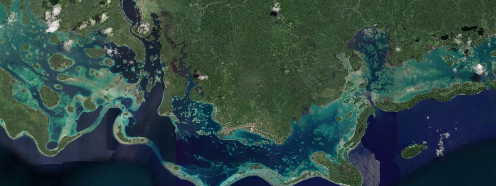
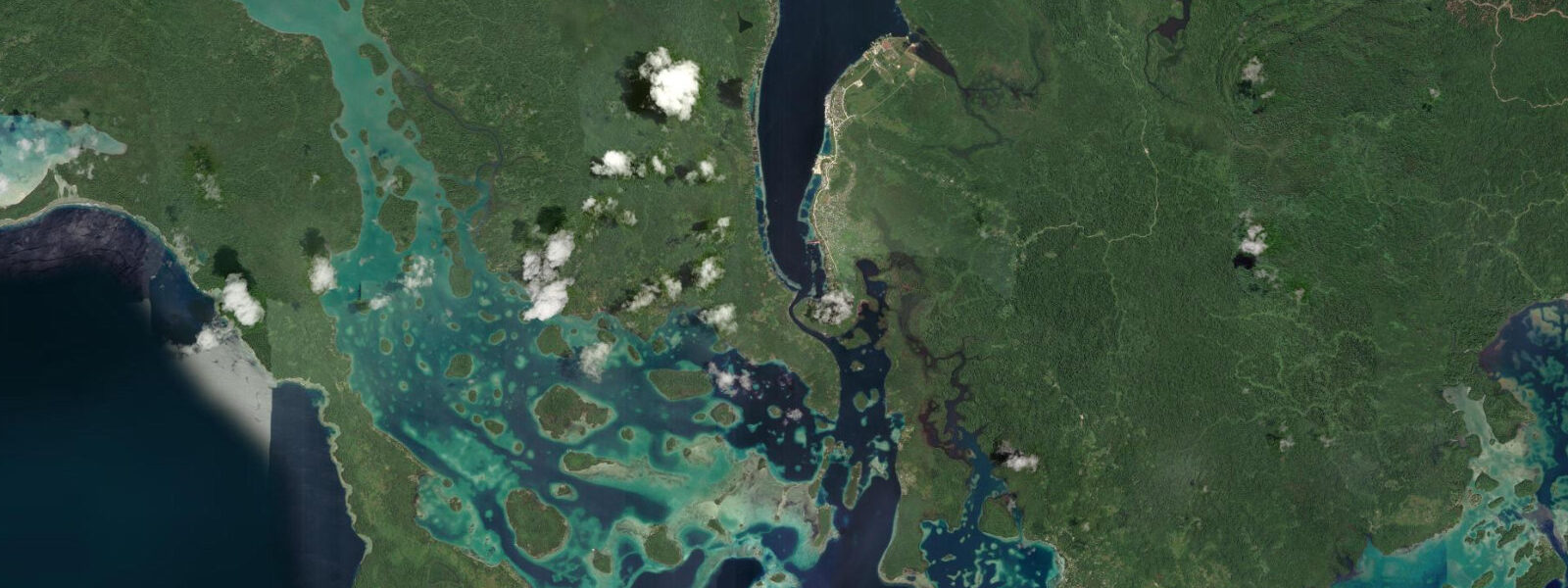
Munda is the main town of New Georgia Island, sitting on the northwestern coast of the island at the edge of Roviana Lagoon. It has a small airport with daily connections to Honiara, a covered market, a dive operation at Agnes Gateway Hotel, and the unhurried pace of a Pacific island town where transport, meals, and arrangements all run on informal timing. The WWII airstrip the town is built around — captured by American forces in August 1943 after the New Georgia Campaign against the Japanese garrison — is still the functional airport. The runway sits on the same coral fill the Japanese military engineers compacted in 1942; Zero fighter wrecks and anti-aircraft gun positions lie in the jungle a 20-minute walk from the terminal.
Skull Island — Nusa Roviana — is the most historically significant cultural site in the Western Province. It is a former shrine island where warrior skulls from the inter-island raiding that defined the pre-colonial political economy of the Roviana Lagoon chiefdoms were deposited in carved wooden boxes. The raiding complex — focused on the Roviana chiefs, conducted by war canoes, and used to acquire heads as ceremonial and political currency — was active until the late 19th century and shaped the entire Melanesian network of exchange and power in western Solomon Islands. The skull boxes are still on the island; the site is considered sacred. Access is arranged through the local chief and a cultural guide, not independently. The fee for the visit goes to the community.
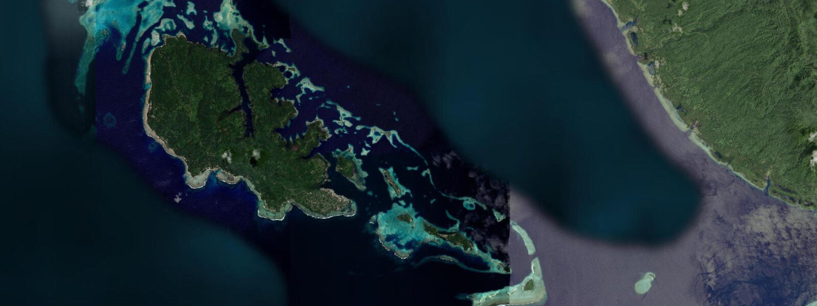
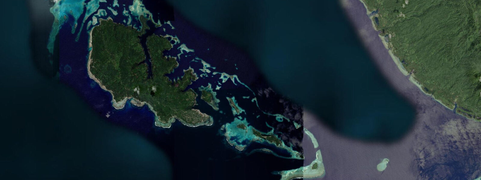
The Roviana Lagoon diving is the primary draw for non-cultural visitors. Biche Reef on the northern edge of the lagoon and the Roviana Channel dive sites have tidal current running 0.5 to 1.5 knots; visibility in the outer channel sites reaches 15 to 25 m on the ebb. Reef fish density — anthias, surgeonfish, grouper, moray eels — is typical of a healthy Western Province reef. Dugongs (sea cows) have been sighted in the Roviana Lagoon seagrass beds, now rare elsewhere in the Solomons.
Crocodile presence is a real fact at the river mouths and mangrove systems feeding into the Roviana Lagoon. Saltwater crocodiles inhabit the lower Munda River and the creek systems around the outer lagoon islands; stay away from the mangrove bank margins, particularly at dusk and dawn when crocodile activity peaks. Pacific semidiurnal, spring range 0.8 to 1.2 m. Predictions on this page come from Open-Meteo Marine (gridded model, ±45 min / ±0.2–0.3 m). The Munda birding circuit — targeting the endemic Roviana monarch and other Western Province forest birds — runs through the secondary forest behind the WWII airstrip. Solomon Islands is one of the highest-endemic-count archipelagos in the Pacific for birds; the Western Province species list includes species found nowhere else. A guide familiar with the forest routes can locate endemic species in a half-day walk from the Munda guesthouse area. The lagoon system between Munda and Wanawana Island is a key area for kayaking and paddleboarding; the passage between the islands has a minimum depth of 0.8 m at mean low water and becomes borderline at the lowest spring lows. Dive operators working Munda's outer reef sites — including the famous Mary Island site — prefer the incoming flood when water clarity is best. The Roviana Lagoon as a whole is among the most historically and culturally rich coastal areas of the Pacific; stone fish traps built generations ago are visible on the intertidal flats at low water and function as fixed points for local oral history about tide knowledge. Air access to Munda via its airstrip allows visitors to schedule around tidal windows; the causeway connecting the main island to the airstrip is passable at all tides. Reef walking on the inner flats at low water is possible but requires understanding that exposed coral is extremely fragile — any foot placement should be on bare rock or sand, not on the reef surface.
Tide questions about Munda, Solomon Islands
Quick answers to the most common questions about tide times, range, and water access at Munda, Solomon Islands.
When is the next high tide at Munda?
The hero block shows the next predicted high at Munda in Solomon Islands Time (SBT, UTC+11). Pacific semidiurnal, spring range 0.8 to 1.2 m. Roviana Lagoon channel currents peak approximately 2 to 3 hours after the predicted high and low; the dive operators at Agnes Gateway plan entries around the running ebb for best visibility at the outer channel sites. Predictions from Open-Meteo Marine (gridded model, ±45 min / ±0.2–0.3 m). The Roviana Lagoon channel narrows near Munda run stronger current than the open outer lagoon sections; dive operators plan channel site entries to match the predicted running ebb.
What is the tidal range at Munda?
Spring range runs 0.8 to 1.2 m; neap range about 0.4 to 0.6 m. The Roviana Lagoon narrows amplify the tidal current in the channel sections, producing 1 to 2 knot flow that concentrates fish and improves visibility at the outer channel dive sites. The lagoon water level change is modest; the current is the operationally significant variable. The lagoon geometry amplifies the tidal current in the channel sections; the open outer lagoon flows more slowly. Dive sites in the channel and on the outer reef edge have different current profiles.
Where do these predictions come from?
Open-Meteo Marine, a free gridded global ocean model, accuracy ±45 min / ±0.2–0.3 m. Solomon Islands Meteorological Service publishes tidal data; Munda has a small offset from the Honiara reference station. The Roviana Lagoon introduces a local phase shift to the tidal current timing; the Munda dive operators apply this empirically from years of site observation. The Roviana Lagoon introduces a phase shift to the tidal current timing; the Munda dive operators' empirical corrections are the practical reference for scheduling current-dependent dives.
Is it safe to visit Skull Island?
Yes, with appropriate arrangements. Nusa Roviana is on the customary land of the Roviana chief and entry requires formal permission. Book a cultural guide through the Agnes Gateway Hotel, the Munda market, or through a local guesthouse — the guide handles the chief's introduction and the cultural protocol at the site. The standard practice is a small customary payment and a guided walk to the shrine boxes. Photography at the site follows the guide's direction; some positions may not be photographed. Respect for the site's sacred status is taken seriously by the community.
Is this safe to use for navigation?
No. TideTurtle is a planning tool. The Roviana Lagoon, New Georgia Sound, and the Western Province channel network have coral reefs, shoals, submerged hazards, and tidal current. Use Solomon Islands Maritime Authority chart products for vessel operations in the lagoon and the Sound. Solomon Islands Maritime Authority chart products cover the Roviana Lagoon and New Georgia Sound; the lagoon has shallow coral hazards requiring chart navigation for vessel operations. For vessel navigation in the Roviana Lagoon and approach channels, consult the LINZ chart series which covers Western Solomon Islands waters.
8-day tide table — Munda, Solomon Islands
Heights relative to MSL. Predictions: Open-Meteo Marine (MeteoFrance SMOC, 0.08° grid) — heights relative to MSL (not chart datum / LAT). Model-derived.
| Day | Type | Time | Height |
|---|---|---|---|
| Sat 04 Jul | High | 11:00 | 0.3m |
| Low | 13:15 | 0.2m | |
| Sun 05 Jul | High | 03:50 | 0.9m |
| Mon 06 Jul | Low | 13:10 | 0.3m |
| Tue 07 Jul | — | ||
| Wed 08 Jul | High | 00:00 | 0.8m |
| Thu 09 Jul | — | ||
| Fri 10 Jul | Low | 11:00 | 0.2m |
| High | 21:10 | 0.9m | |
| Sat 11 Jul | Low | 10:00 | 0.2m |