Gizo tide times
Gizo tide forecast — heights relative to MSL.
Today's tide times for Gizo
Tide times at Gizo on Saturday, 27 June 2026: first low tide at 11:45am. Sunrise 06:45am, sunset 06:24pm.
Tide chart for Gizo
24-hour cosine-interpolated curve around the present moment. Heights relative to MSL. Predictions: Predictions: Open-Meteo Marine (MeteoFrance SMOC, 0.08° grid).
Sun, moon and conditions on Sat 27 Jun
Snapshot at build time — refreshes daily. Sea state from Open-Meteo Marine.
Highs and lows next 7 days
Every predicted high and low for the next week, with the daily tidal coefficient (0–120; higher = bigger swing, > 95 means stronger currents).
Other spots nearby
The three closest curated TideTurtle locations to Gizo, measured by great-circle distance.
Today's solunar windows
Solunar tradition: major periods are the ≈3h windows around moon transit and opposition; minor are ≈2h around moonrise and moonset. Pair with the local tide stage and wind for the best read.
About tides at Gizo
A short guide to the coastline at Gizo — geography, sea state, and what the tide is actually doing under your feet.
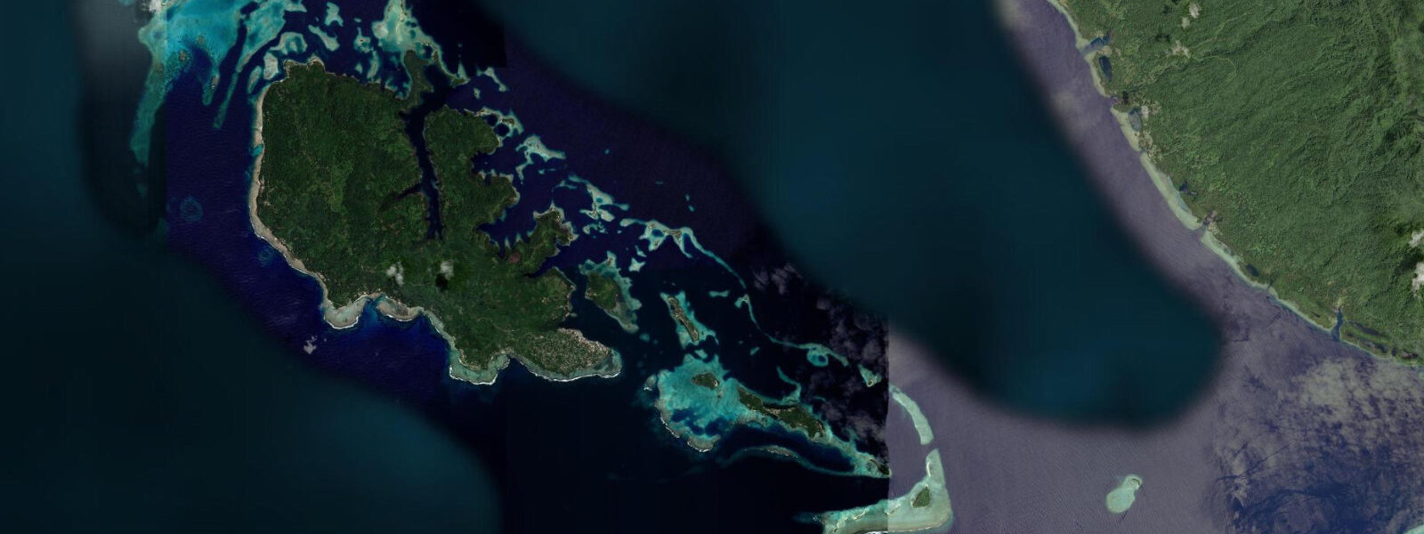
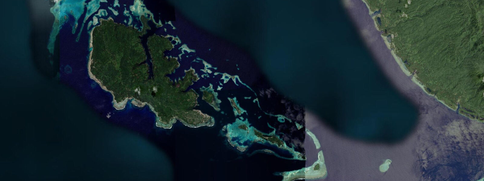
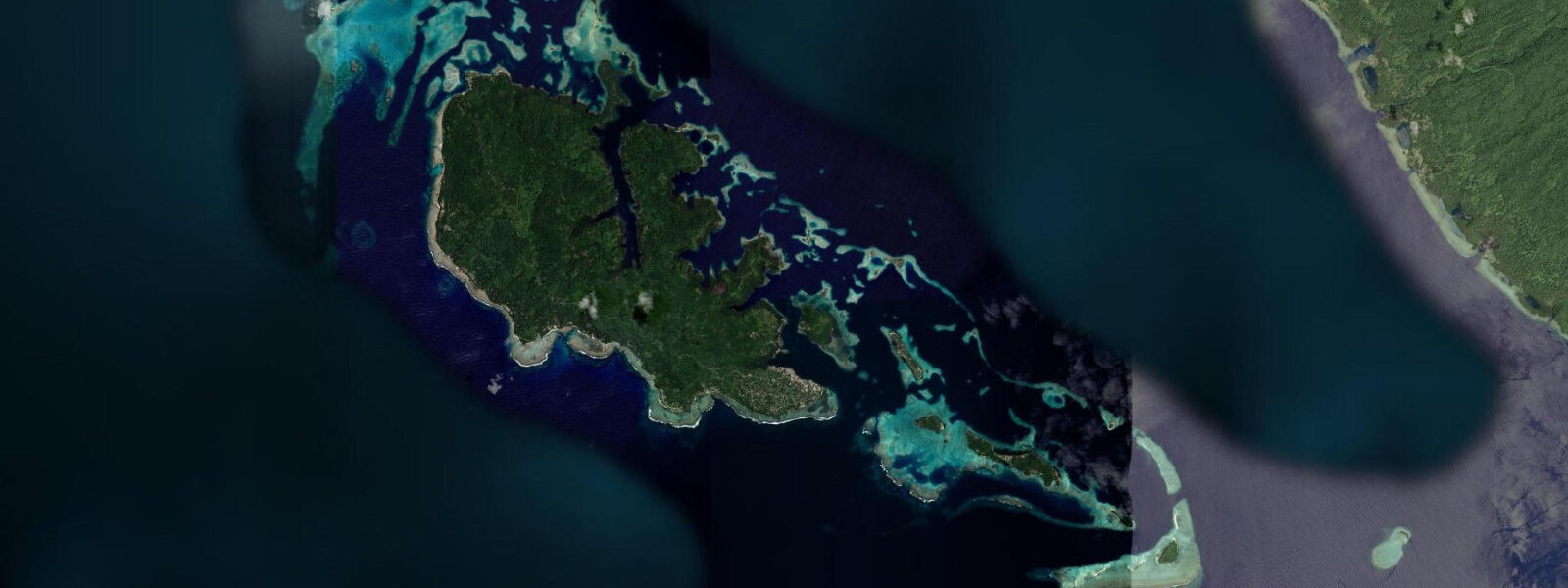
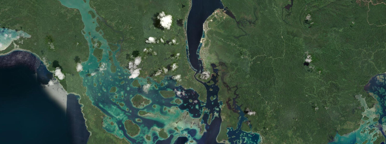
Gizo is the main town of Solomon Islands' Western Province, on a small island of the same name 500 kilometres northwest of Honiara in the New Georgia Sound — the body of water that WWII-era Allied forces called The Slot. The town of approximately 7,000 people is the commercial and administrative hub for a province that stretches from the Manning Strait in the north to the Vangunu and Marovo Lagoon in the south, a marine territory that contains some of the most diverse coral reef ecosystems in the world.
The tidal range at Gizo is approximately 1.2 m on spring tides, mixed semidiurnal with the same diurnal inequality pattern as Honiara. The range is consistent across the Western Province; the tidal influence here is modest by global standards, but the 1.2 m swing is sufficient to expose meaningful sections of the shallow reef flat and to affect access timing for the dive sites off the surrounding islands. The most significant effect is on the coral-reef accessibility: the reef flat at low spring water in Gizo Bay drops to 0.1–0.3 m depth over the shallowest coral sections, and any boat with a keel deeper than 0.5 m must navigate carefully or wait for rising water.
The Toa Maru is the primary wreck dive of the Western Province — a Japanese freighter of 9,400 tonnes, sunk in January 1943 during a USAAF bombing raid, lying in 40–45 m depth in Gizo Bay approximately 800 m from the town wharf. The wreck is largely intact, sitting upright on the sand, with its cargo holds still containing military equipment, vehicles, and personal effects from the Japanese soldiers aboard. The holds and the exterior hull are covered in soft coral and gorgonian sea fans that have colonised the structure over 80 years. Visibility at the Toa Maru is typically 15–25 m, best on neap tides when current over the site is lowest. The wreck requires scuba equipment and an experienced guide — dive operators in Gizo town run regular trips from the main wharf.
Kennedy Island — officially Plum Pudding Island, now Kasolo Island in Solomon Islands — is 5 kilometres south of Gizo. On the night of 1–2 August 1943, PT-109, commanded by Lieutenant John F. Kennedy, was rammed and sunk by the Japanese destroyer Amagiri in the passage between Gizo and Kolombangara. Kennedy led the survivors (11 of the 13-man crew survived) in a 5-kilometre swim to Plum Pudding Island, then to Nauru Island (now Naru) for rescue. The island is visited by a small but steady stream of history-focused travellers. A boat from Gizo reaches it in 20 minutes; landing is straightforward at mid-tide and above.
Sandfly Passage, between Gizo Island and Kolombangara Island to the northwest, is the main current-dive site for the area. The tidal flow through the passage reaches 2–3 knots on spring tides and carries nutrients that support extensive soft-coral growth on the passage walls. Dive operators use the current to drift divers through the passage at 1–2 knots; the timing is planned for the flood phase when the current direction takes divers from west to east, ending closer to Gizo town for the pickup. The passage is not suitable for beginner divers due to the current.
For anglers, Gizo's position in the Western Province gives access to the productive pelagic fishery in the Kula Gulf and the New Georgia Sound. Yellowfin tuna, wahoo, and dogtooth tuna are the primary targets; the passage currents that make Sandfly an exciting dive site also concentrate pelagic species at the current lines. Shore fishing from the town wharf and the rocky coast around Gizo Island targets reef species at all tidal stages.
For families, Mbabanga Island (accessible by boat from Gizo in 5 minutes) has a calm shallow lagoon behind its fringing reef with safe swimming at mid-tide and above. Sea temperature is 28–29°C year-round. The November–April cyclone season is less predictable for sea conditions; May through October is the dry-season prime travel window.
All tide predictions for Gizo come from the Open-Meteo Marine gridded model. Timing accuracy is ±45 minutes; height accuracy is ±0.3 m above Chart Datum.
Tide questions about Gizo
Quick answers to the most common questions about tide times, range, and water access at Gizo.
What is the Toa Maru wreck and what diving experience does it require?
The Toa Maru is a 9,400-tonne Japanese freighter sunk in January 1943, lying intact and upright in 40–45 m depth in Gizo Bay, 800 m from the town wharf. Military cargo, vehicles, and personal effects remain in the holds after 80 years; soft corals and gorgonian sea fans cover the exterior. The site requires Advanced Open Water certification — the 45 m maximum puts it at the limit of recreational diving. Visibility is 15–25 m, best on neap tides when current is lowest. Dive operators in Gizo provide guided access; independent diving of the wreck is not recommended. Open-Meteo predictions carry ±45 minutes and ±0.3 m uncertainty.
How do I get to Kennedy Island and what is its historical significance?
Kennedy Island (officially Kasolo Island) is 5 km south of Gizo — 20 minutes by boat from the main wharf at mid-tide and above. On the night of 1–2 August 1943, PT-109 was rammed and sunk by the Japanese destroyer Amagiri north of the island; Lieutenant Kennedy led 11 survivors in a 5 km swim to the island. The island is small — a few hundred metres of beach and coconut palms — with no facilities and no permanent occupation. Visiting boats anchor in 3–5 m off the beach; landing is straightforward at mid-tide and above, but the approach shoals at very low spring water. Dive operators in Gizo arrange boat transfers.
What are the conditions at Sandfly Passage and is it suitable for all divers?
Sandfly Passage between Gizo Island and Kolombangara runs at 2–3 knots tidal current on spring tides — a drift dive requiring Advanced Open Water certification or equivalent experience with current diving. Operators plan the dive on the flood phase, which moves divers from west to east toward Gizo for the pickup. The current supports extraordinary soft-coral density on the passage walls. Neap tides reduce the current to 0.8–1.5 knots — still a drift but more controllable and more suitable for less experienced divers. Beginner and Open Water divers should not dive Sandfly on spring tides. The dive is typically 35–50 minutes at 12–20 m depth, depending on the current speed on the day.
What are the best conditions for sportfishing around Gizo?
Gizo's position in the New Georgia Sound gives access to productive pelagic grounds in the Kula Gulf and the current lines through the island passages. Yellowfin tuna, wahoo, and dogtooth tuna are the main targets. The same passage currents that make Sandfly a dive site concentrate baitfish and predators at the current edges — the flood phase, as current speed builds, is typically the most active window for tuna and wahoo. The May–October dry season is most productive for offshore trolling in the Sound. Shore fishing from the Gizo wharf and coastal rocks targets snapper, trevally, and grouper at all tidal stages.
Is Gizo suitable for family snorkelling and swimming?
Mbabanga Island, a 5-minute boat ride from Gizo, is the best family snorkelling and swimming destination in the area. The lagoon inside the fringing reef is calm and shallow — 0.5–1.5 m depth at mid-tide over the sandy inner sections — with coral accessible at the lagoon edge. The outer reef has more fish diversity but requires confident swimming against mild current. Sea temperature is 28–29°C year-round. Gizo town's own waterfront beach is narrow and the water near the wharf has limited clarity. May through October is the dry-season prime window; November through April is cyclone season with more variable conditions. Open-Meteo tide predictions carry ±45 minutes and ±0.3 m uncertainty.
8-day tide table — Gizo
Heights relative to MSL. Predictions: Open-Meteo Marine (MeteoFrance SMOC, 0.08° grid) — heights relative to MSL (not chart datum / LAT). Model-derived.
| Day | Type | Time | Height |
|---|---|---|---|
| Sat 27 Jun | Low | 11:45 | 0.2m |
| Sun 28 Jun | High | 01:00 | 1.0m |
| Low | 11:54 | 0.2m | |
| Mon 29 Jun | High | 01:50 | 1.0m |
| Low | 12:10 | 0.2m | |
| Tue 30 Jun | — | ||
| Wed 01 Jul | High | 02:50 | 1.0m |
| Low | 12:45 | 0.2m | |
| Thu 02 Jul | — | ||
| Fri 03 Jul | — | ||
| Sat 04 Jul | High | 03:50 | 1.0m |
| Low | 10:00 | 0.5m | |