Gizo tide times
Gizo tide forecast — heights relative to MSL.
Tide chart for Gizo
24-hour cosine-interpolated curve around the present moment. Heights relative to MSL. Predictions: Predictions: Open-Meteo Marine (MeteoFrance SMOC, 0.08° grid).
Sun, moon and conditions on Sat 04 Jul
Snapshot at build time — refreshes daily. Sea state from Open-Meteo Marine.
Highs and lows next 7 days
Every predicted high and low for the next week, with the daily tidal coefficient (0–120; higher = bigger swing, > 95 means stronger currents).
Other spots nearby
The three closest curated TideTurtle locations to Gizo, measured by great-circle distance.
Today's solunar windows
Solunar tradition: major periods are the ≈3h windows around moon transit and opposition; minor are ≈2h around moonrise and moonset. Pair with the local tide stage and wind for the best read.
About tides at Gizo
A short guide to the coastline at Gizo — geography, sea state, and what the tide is actually doing under your feet.
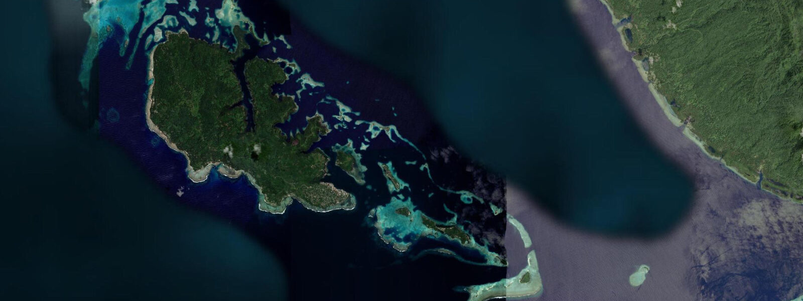
Gizo is the capital of Western Province, Solomon Islands, sitting on Ghizo Island in the New Georgia group of islands. The town is the regional hub for the Western Province's scattered island communities, serving as the administrative centre, main market, and transport junction for the region. It is also the dive base for one of the richest concentrations of WWII wrecks and undisturbed reef in the Western Pacific.
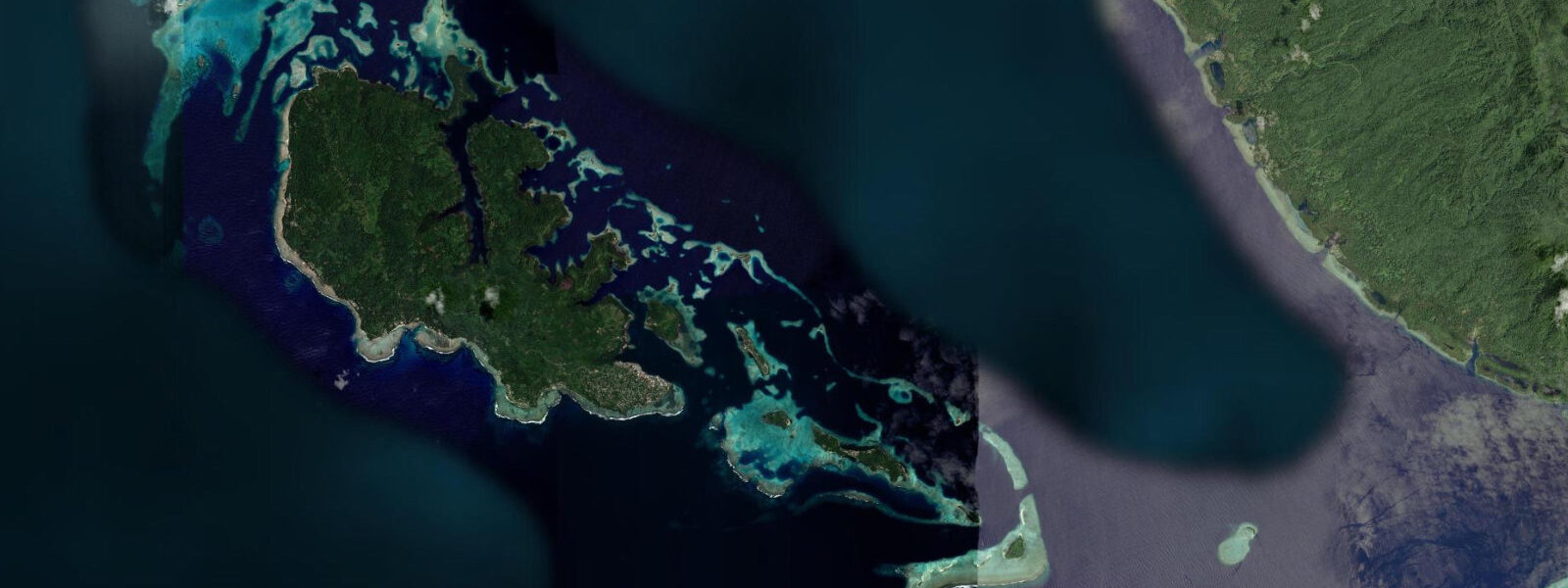
The tidal regime at Gizo is mixed semidiurnal, with a spring range of approximately 1.0 to 1.5 metres. The channels between the islands of the New Georgia Group — Blackett Strait, Vella Gulf, Kula Gulf — have tidal currents of 1 to 3 knots at spring tides, driven by the exchange between the Solomon Sea and the Coral Sea through the island passages. Dive operators in Gizo plan their reef and wreck dives around these currents; the walls of the channels have some of the best current-fed coral communities in the Solomons, and timing the dive to the current is essential for the soft coral and sea fan communities that depend on sustained water flow.
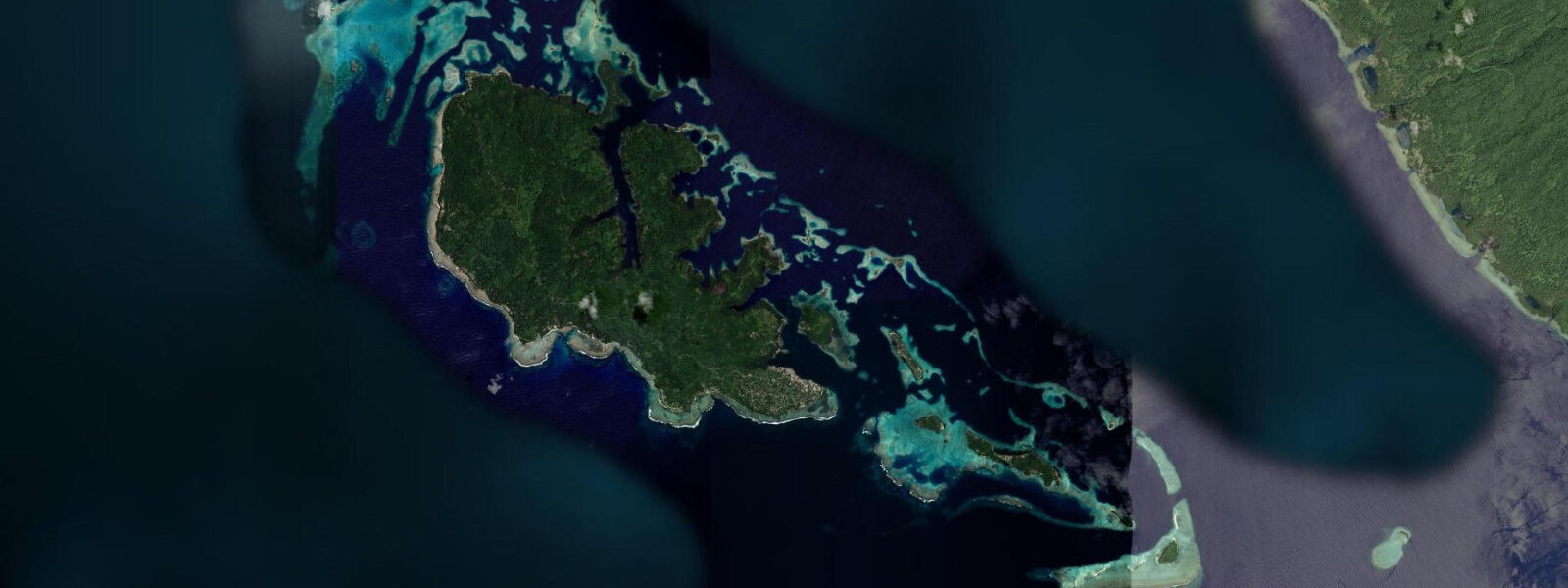
The WWII history of Western Province is centred on Blackett Strait, the narrow passage between Kolombangara and New Georgia Island. In August 1943, the Japanese destroyer Amagiri rammed and sank the American PT-109, commanded by Lieutenant John F. Kennedy (later the 35th US President). Kennedy led the surviving crew through several days of open-water swimming and island-hopping before a coastwatcher network organised rescue. Kennedy Island (Plum Pudding Island) — where the crew sheltered for the first night — has a memorial marker and is visited by boat tour from Gizo. The PT-109 wreck itself has not been conclusively located.
Diving around Gizo targets a combination of reef, reef wall, and WWII wreck sites. The Toa Maru, a Japanese freighter sunk in 1942 in 40 metres, is considered one of the best wreck dives in the Solomons. The Hellcat wreck (a WWII Grumman F6F fighter aircraft) lies in 30 metres near Gizo Harbour. Uepi Island Resort in Marovo Lagoon, southeast of Gizo, is the operational base for divers targeting the outer lagoon wall and Marovo passage dives.
For non-divers, the Gizo market on the waterfront has a daily fish and vegetable market where Solomon Island produce — betelnuts, sweet potato, taro, and fresh reef fish — is traded. The market fish supply reflects the tidal rhythm: local fishers arrive by dugout canoe on the morning falling tide, having worked the reef overnight with lamps and hand lines.
Snorkelling directly from Gizo Harbour is possible at high water when the harbour water is clearest. The inner harbour is shallow (2 to 5 metres) with moderate coral and fish presence. The outer passage walls, reached by boat in 10 minutes, have significantly better coral and fish density.
Predictions on this page come from Open-Meteo Marine, a gridded global ocean model. Accuracy is typically within plus or minus 45 minutes on timing and 0.2 to 0.3 metres on height — model-derived, not from a local gauge. The local tide authority is the Solomon Islands Meteorological Service.
Tide questions about Gizo
Quick answers to the most common questions about tide times, range, and water access at Gizo.
What is the PT-109 connection to Gizo?
In August 1943, the Japanese destroyer Amagiri rammed and sank the American PT-109 in Blackett Strait, approximately 10 kilometres from Gizo, during a night engagement. The boat's commander, Lieutenant John F. Kennedy (later the 35th US President), led the surviving crew through 3.5 miles of open-water swimming to Plum Pudding Island (now Kennedy Island), where they sheltered for the first night. Over the following days, Kennedy swam repeatedly between islands to make contact with the coastwatcher network that organised the crew's rescue. Kennedy Island is visited by boat from Gizo — a 20-minute trip. A memorial marker is on the island. The PT-109 wreck location has not been conclusively confirmed.
What diving is available around Gizo?
Gizo has multiple dive sites within 30 minutes by boat: the Toa Maru (Japanese freighter, 40 metres, considered one of the best wreck dives in the Solomons), the Hellcat WWII aircraft (30 metres, near the harbour), and a series of reef wall sites on the channel passages with current-driven soft coral and sea fan communities. Tidal current in the channels runs 1 to 3 knots at springs — plan dives with an operator familiar with the day's tidal schedule. Uepi Island Resort in Marovo Lagoon (accessible by day boat) extends the dive range to the outer lagoon wall and passage sites.
How do I get to Gizo?
By Solomon Airlines domestic flight from Honiara (Guadalcanal) to Nusatupe Airport, Gizo — approximately 1 hour. Flights operate several days per week; schedules change seasonally. From the airport island (Nusatupe), a 5-minute boat transfer crosses to Gizo town. By inter-island boat: the MV Taimareho and other vessels run irregular services between Honiara and the Western Province; the journey takes 2 to 3 days. Gizo has accommodation ranging from basic guesthouses to the mid-range Gizo Hotel on the waterfront and dive-integrated resorts nearby.
What is the tidal range at Gizo?
Spring tidal range at Gizo is approximately 1.0 to 1.5 metres. The regime is mixed semidiurnal. Tidal currents in the surrounding channels (Blackett Strait, Vella Gulf) run 1 to 3 knots at spring peaks — a significant factor for dive planning on the channel walls. The harbour itself has gentler current. Predictions here come from Open-Meteo Marine (±45 minutes on timing, ±0.3 m on height). Not for navigation; consult the Solomon Islands Meteorological Service for local tidal predictions.
Is the Gizo fish market worth visiting?
Yes. The daily market on the Gizo waterfront is one of the most authentic market experiences in the Western Province. Local fishers arrive by dugout canoe on the morning falling tide with reef fish caught overnight — grouper, snapper, coral trout, parrotfish, and occasional barracuda. The fish is sold fresh, ungutted, direct from the canoe to market buyers. The vegetable section has yam, taro, sweet potato, leafy greens, and betelnuts. The market is busiest from 06:00 to 09:00. Buying directly from fishers is possible but the quantity sold is typically the whole catch. The market is also the best place to observe the practical intersection of the tidal fishing cycle and community commerce.
8-day tide table — Gizo
Heights relative to MSL. Predictions: Open-Meteo Marine (MeteoFrance SMOC, 0.08° grid) — heights relative to MSL (not chart datum / LAT). Model-derived.
| Day | Type | Time | Height |
|---|---|---|---|
| Sat 04 Jul | — | ||
| Sun 05 Jul | High | 04:00 | 0.9m |
| Mon 06 Jul | Low | 13:00 | 0.3m |
| Tue 07 Jul | High | 03:00 | 0.8m |
| Wed 08 Jul | — | ||
| Thu 09 Jul | Low | 11:10 | 0.3m |
| High | 22:00 | 0.9m | |
| Fri 10 Jul | — | ||
| Sat 11 Jul | Low | 10:00 | 0.2m |