Gizo, Solomon Islands tide times
Gizo, Solomon Islands tide forecast — heights relative to MSL.
Tide chart for Gizo, Solomon Islands
24-hour cosine-interpolated curve around the present moment. Heights relative to MSL. Predictions: Predictions: Open-Meteo Marine (MeteoFrance SMOC, 0.08° grid).
Sun, moon and conditions on Sat 04 Jul
Snapshot at build time — refreshes daily. Sea state from Open-Meteo Marine.
Highs and lows next 7 days
Every predicted high and low for the next week, with the daily tidal coefficient (0–120; higher = bigger swing, > 95 means stronger currents).
Other spots nearby
The three closest curated TideTurtle locations to Gizo, Solomon Islands, measured by great-circle distance.
Today's solunar windows
Solunar tradition: major periods are the ≈3h windows around moon transit and opposition; minor are ≈2h around moonrise and moonset. Pair with the local tide stage and wind for the best read.
About tides at Gizo, Solomon Islands
A short guide to the coastline at Gizo, Solomon Islands — geography, sea state, and what the tide is actually doing under your feet.
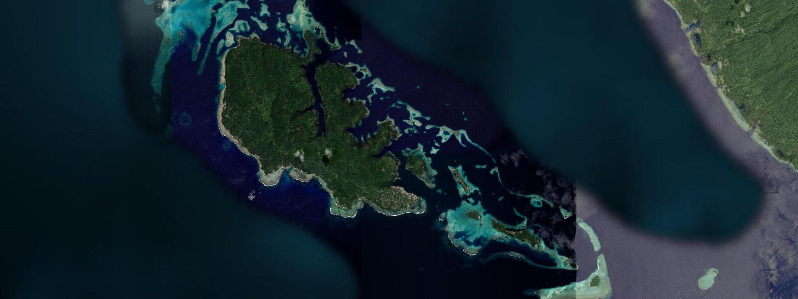
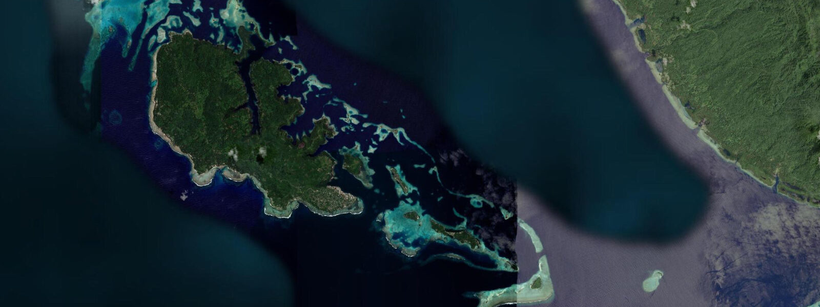
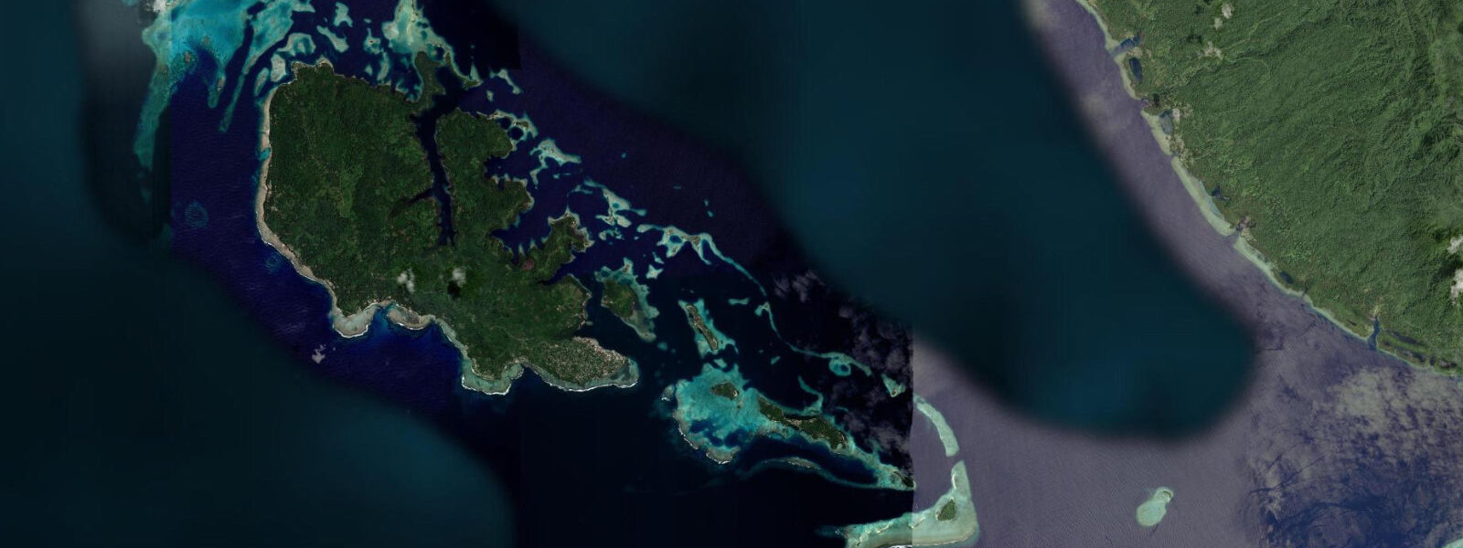
Gizo is the capital of Western Province and the second city of the Solomon Islands, a compact town built on a small island in the Gizo Harbour and accessible by light aircraft from Honiara (45 minutes) or by the irregular inter-island ship service. The market, the main street, the waterfront, and the entire commercial district sit within 300 m of each other on an island barely 600 m wide; the town floods to ankle depth at the highest spring tides on the lowest-lying sections of the waterfront road.
The WWII history in the Gizo area is concrete and documented. The Japanese destroyer Toa Maru sank in Gizo Harbour in 1943 and now rests at 48 m, intact and sitting upright, one of the most photographed wrecks in the Solomon Islands. A B-17 Flying Fortress bomber lies in 40 m to the west of the island, upright with the cockpit and engines accessible, its identity confirmed through wartime records. Kennedy Island — the uninhabited coral island 5 km northeast of Gizo — is where PT-109, Lieutenant John F. Kennedy's patrol torpedo boat, was sliced in half by the Japanese destroyer Amagiri on 2 August 1943. Kennedy and his surviving crew swam to Kennedy Island and were rescued after six days; the island's coconut grove is largely unchanged from the wartime photographs.
The reef system around Gizo sits in the Coral Triangle — the species-rich zone between Indonesia, PNG, and the Philippines — and the fish and coral diversity close to the town is high even accounting for the proximity to human settlement. Reef shark species (whitetip, blacktip, grey reef) are common on the outer reef slope; bumphead parrotfish appear on the morning reef flat. The inter-island channels between Gizo, New Georgia, and Kolombangara produce tidal currents of 0.5 to 1.5 knots that concentrate fish life on the downstream side of reef structures.
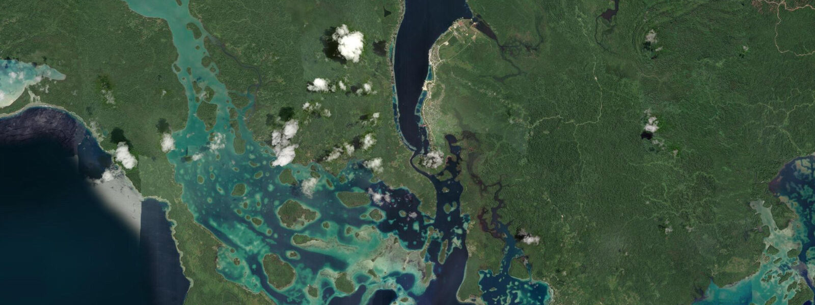
The Pacific tidal regime at Gizo is semidiurnal, spring range 0.8 to 1.2 m. The low-lying town is at some flood risk on the highest spring highs, particularly when combined with southeast wind setup from the open ocean — residents know the highest tide dates and position belongings accordingly. Anglers working the Kennedy Island passage channel catch wahoo, Spanish mackerel, and barracuda on the tide turns; the current concentration around the island's reef edge is the productive zone. The Gizo market on the main waterfront is a morning social event regardless of tide state, selling produce from the islands around the province. Predictions on this page come from Open-Meteo Marine (gridded model, ±45 min / ±0.2–0.3 m). The best documentary context for the Kennedy Island PT-109 story is the original account in The New Yorker by John Hersey (1944), based on Kennedy's own narrative. The island's coconut palm grove is largely unchanged from the wartime photographs; the memorial stone placed by the Kennedy family in 1985 is on the south beach. The Gizo dive operators run PT-109 history tours combining the Kennedy Island visit with a look at the Toa Maru wreck on the same morning. The wreck of USS Kennedy's destroyer, HMNZS Moa, and most notably the Kennedy Island PT-109 history site are all accessible from Gizo. The crossing from Gizo to Kennedy Island (Kasolo) by kayak takes approximately 20 minutes and is best timed for slack water or a favourable flood current in the channel; the channel shoals at low water and can generate confused surface chop if ebb current meets afternoon sea breeze. Gizo market mornings are driven by the fishing fleet's arrival, which typically tracks the early flood. Snorkelling around Gizo Island's offshore rocks is best in the morning before the southeast trade wind builds surface chop; tidal state affects clarity, with incoming tide bringing cleaner water from the ocean side. The Tetepare Island wilderness reserve, accessible by boat from Gizo, has fringing reef access governed by tidal state; the shallow reef passes into the Tetepare lagoon are only navigable within 1.5 hours of high water.
Tide questions about Gizo, Solomon Islands
Quick answers to the most common questions about tide times, range, and water access at Gizo, Solomon Islands.
When is the next high tide at Gizo?
The hero block shows the next predicted high at Gizo in Solomon Islands Time (SBT, UTC+11). Pacific semidiurnal, spring range 0.8 to 1.2 m. The low-lying town waterfront can experience nuisance flooding on the highest spring highs when southeast wind adds wind setup. The 7-day table covers all tidal extremes; the highest predicted highs of each spring cycle (new and full moon) are the dates to note for waterfront planning. Predictions from Open-Meteo Marine (gridded model, ±45 min / ±0.2–0.3 m).
What is the tidal range at Gizo?
Spring range runs 0.8 to 1.2 m; neap range about 0.4 to 0.6 m. The Pacific semidiurnal pattern delivers two roughly equal cycles per day. Gizo's town sits barely above sea level; the spring high is the tide state that matters for the low-lying waterfront sections. The inter-island channel current of 0.5 to 1.5 knots at springs concentrates fish life at reef structures and is the relevant variable for dive planning. The 0.8 to 1.2 m spring range at Gizo is the smallest tidal category in this dataset; the town's low-lying position makes even this modest range significant for the waterfront flooding risk at spring highs.
Where do these predictions come from?
Open-Meteo Marine, a free gridded global ocean model, accuracy ±45 min / ±0.2–0.3 m. Solomon Islands Meteorological Service publishes tidal data; the main reference station is Honiara Harbour. Western Province timing has a small offset from Honiara due to the geographical separation across the New Georgia Sound. Solomon Islands Meteorological Service publishes tidal data; Western Province timing has a small offset from Honiara. The inter-island channel currents at Gizo are locally calibrated by the dive operators. The Solomon Islands Meteorological Service is the national source for official tide prediction and weather data in this region.
How do I get to Kennedy Island from Gizo?
Water taxis from Gizo main wharf reach Kennedy Island in 20 minutes. Operators run on demand from the waterfront; agree the price and a return pickup time before departing. The island has no facilities, so bring water and sun protection. The snorkel zone is on the western and southern reef margins in 1 to 5 m of water; the turtle population is resident year-round. The Kennedy family memorial stone is on the south beach. Mid-morning is the calmest sea-state window for the crossing.
Is this safe to use for navigation?
No. TideTurtle is a planning tool. The Western Province channel network, the New Georgia Sound, and the Gizo Harbour approaches carry commercial and vessel traffic with reefs and shoals. The inter-island channels run 1.5 knots at springs. Use Solomon Islands Maritime Authority chart products for vessel operations. Solomon Islands Maritime Authority chart products cover Western Province waters; the inter-island channel network has reefs and shoals requiring chart navigation for any vessel operation. For navigation in the Western Solomons, use chart products from LINZ (New Zealand Hydrographic Authority) or UKHO, which maintain the most current surveys for this region.
8-day tide table — Gizo, Solomon Islands
Heights relative to MSL. Predictions: Open-Meteo Marine (MeteoFrance SMOC, 0.08° grid) — heights relative to MSL (not chart datum / LAT). Model-derived.
| Day | Type | Time | Height |
|---|---|---|---|
| Sat 04 Jul | — | ||
| Sun 05 Jul | High | 04:00 | 0.9m |
| Mon 06 Jul | Low | 13:00 | 0.3m |
| Tue 07 Jul | High | 03:00 | 0.8m |
| Wed 08 Jul | — | ||
| Thu 09 Jul | Low | 11:10 | 0.3m |
| High | 22:00 | 0.9m | |
| Fri 10 Jul | — | ||
| Sat 11 Jul | Low | 10:00 | 0.2m |