Kafountine tide times
Kafountine tide forecast — heights relative to MSL.
Today's tide times for Kafountine
Tide times at Kafountine on Saturday, 4 July 2026: first high tide at 12:00am, first low tide at 04:54am, second high tide at 11:26am, second low tide at 05:34pm, third high tide at 11:44pm. Sunrise 06:45am, sunset 07:37pm.
Tide chart for Kafountine
24-hour cosine-interpolated curve around the present moment. Heights relative to MSL. Predictions: Predictions: Open-Meteo Marine (MeteoFrance SMOC, 0.08° grid).
Sun, moon and conditions on Sat 04 Jul
Snapshot at build time — refreshes daily. Sea state from Open-Meteo Marine.
Highs and lows next 7 days
Every predicted high and low for the next week, with the daily tidal coefficient (0–120; higher = bigger swing, > 95 means stronger currents).
Other spots nearby
The three closest curated TideTurtle locations to Kafountine, measured by great-circle distance.
Today's solunar windows
Solunar tradition: major periods are the ≈3h windows around moon transit and opposition; minor are ≈2h around moonrise and moonset. Pair with the local tide stage and wind for the best read.
Cycle dates near Kafountine
Last spring tide on Sat 04 Jul (range 1.4m). Next neap on Thu 09 Jul.
Spring tides cluster around new and full moons (biggest swings). Neap tides land on quarter moons (smallest swings). See the spring tide and neap tide glossary entries for the why.
About tides at Kafountine
A short guide to the coastline at Kafountine — geography, sea state, and what the tide is actually doing under your feet.
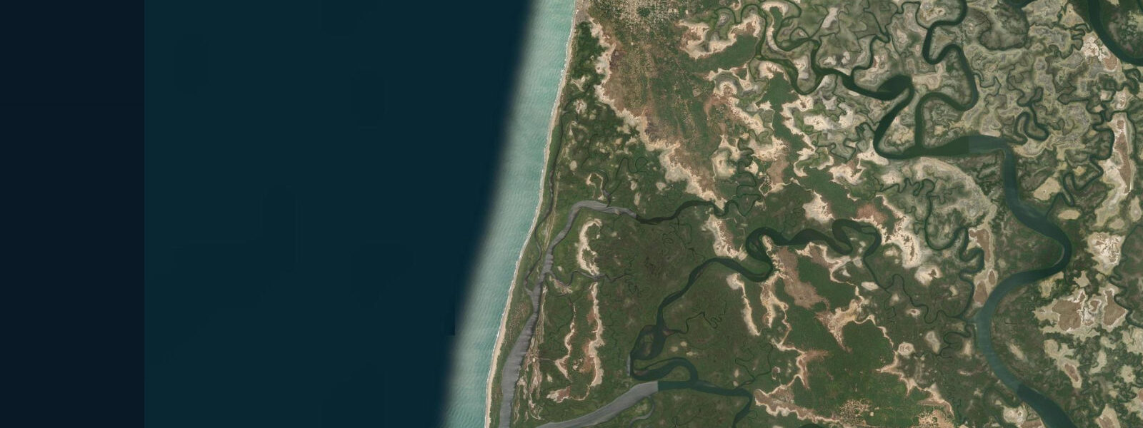
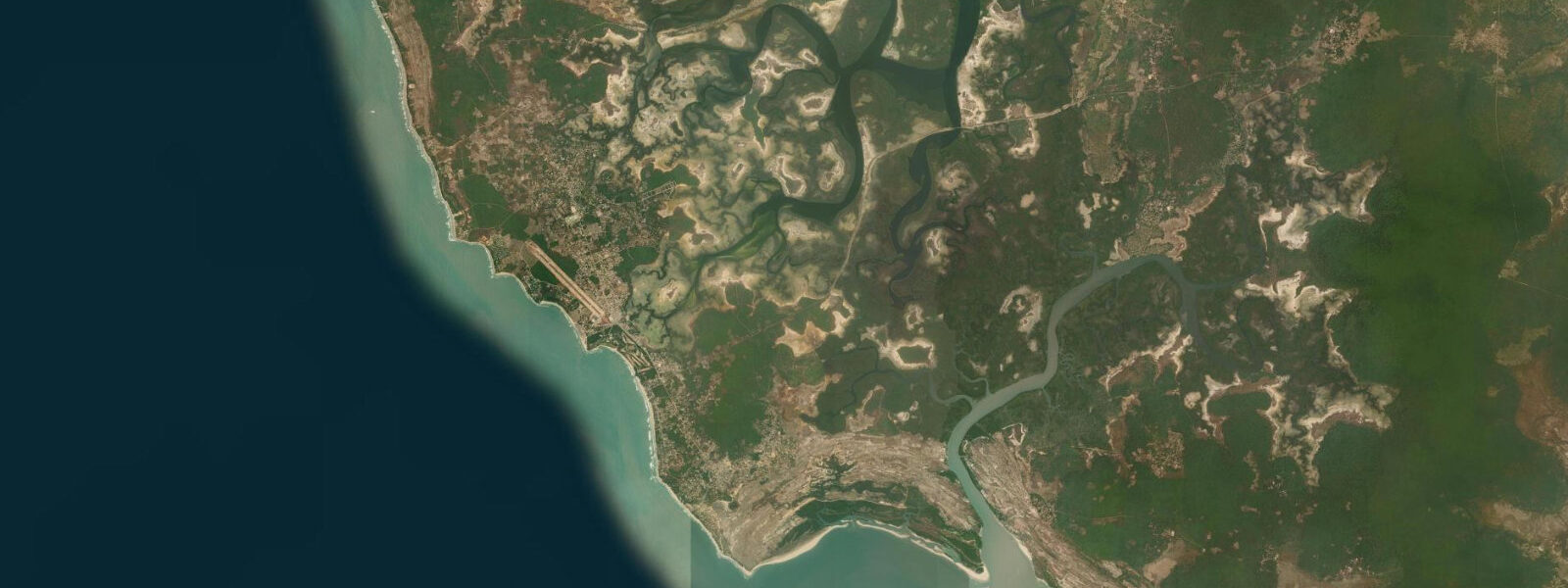
Kafountine is a coastal village in Senegal's Casamance region, north of Cap Skirring and south of the Gambian border, sitting at the point where the Atlantic coast and the mangrove creek system of the Casamance delta intersect. The village is accessed by a sandy track through the forest from the main Casamance road; the final approach passes through palm groves and rice paddies before opening onto the beach.
The beach at Kafountine is long, wide, and exposed — a straight Atlantic face backed by vegetation, with no reef protection. The surf here is the real Atlantic: consistent swell from the northwest, beach break, and the longshore drift that moves sediment steadily southward along this section of the West African coast. The beach is almost entirely undeveloped except for a handful of small lodges clustered near the village.
Tide data for Kafountine comes from Open-Meteo Marine's global model. Timing accuracy ±45 minutes, height accuracy ±0.2 to 0.3 metres. The Senegal Atlantic coast has semidiurnal tides with spring range of 1.2 to 1.8 metres. The tidal cycle is directly visible on this beach: at high water the surf breaks close to the vegetation fringe; at low water the beach expands to 80 to 120 metres of exposed sand flat. The low-tide flat is firm enough to drive on — local fishermen use it as a vehicle track.
The fishing economy at Kafountine centres on the beach seine and artisanal pirogue fleet. The pirogues launch through the surf on the same high-tide principles as the Saint-Louis fleet: the wave break is less violent and the beach gradient is gentler when the tide is up. Morning launches, around sunrise, are the daily rhythm. The catch — bonga shad, barracuda, ladyfish, and assorted reef species — comes to the beach market by mid-morning.
The creek and mangrove system inland from Kafountine connects to the wider Casamance estuarine network. Small boat trips into the creeks are the main ecotourism activity: oyster bars on the mangrove roots (oysters harvested by local women), kingfisher sightings, and the egret colonies that roost in the mangrove canopy. The creek trips run on a falling tide to access the shallow channels; return is on the flood.
Kafountine has a small community of resident foreign visitors — artists, naturalists, and long-term travellers who have settled in the village over the past 30 years. The social environment is relaxed and multilingual. Accommodation is basic bungalow-level; there is no large hotel. The combination of undeveloped Atlantic beach, mangrove creek system, active fishing community, and forest backdrop makes Kafountine one of the more complete coastal experiences in Casamance.
The security situation in Casamance has been calmer since the 2004 peace process, but the region has had a separatist conflict history. Check current travel conditions with the Senegalese authorities or recent traveller reports before visiting.
The village of Kafountine has attracted a small community of foreign resident artists and naturalists over the decades, drawn by the combination of undeveloped beach, accessible forest and mangrove ecology, and the social warmth of the Casamance communities. A few locally run cultural centres and art spaces operate from the village; these are informal and vary in activity by season. The Casamance itself — a region long marked by its cultural and geographic distance from the Dakar-centred north of Senegal — has a distinct identity expressed in music, food, and cultural practice that is different from northern Senegal.
The Diola people of the Casamance are the dominant cultural group around Kafountine. Diola communities maintain strong ties to the rice-farming and forest-gathering traditions of the Casamance lowlands. The sacred forest groves (bois sacrés) that dot the landscape around Kafountine are areas of protected forest where traditional ceremonies are conducted; these are not accessible to outsiders but are visible from the road as untouched forest stands in an otherwise modified landscape. Respecting these boundaries is expected.
Kafountine is notable for having hosted international music events focused on Casamance and West African traditional music. The combination of beach setting and local musical culture has made it a periodic gathering point for music tourism, though activity levels depend heavily on the regional security situation and the organisational capacity of local promoters.
Tide questions about Kafountine
Quick answers to the most common questions about tide times, range, and water access at Kafountine.
What is the tidal range at Kafountine?
Kafountine is on the Senegal Atlantic coast in the Casamance region, south of The Gambia. The coast here experiences semidiurnal tides with spring range of 1.2 to 1.8 metres — consistent with the Senegal Atlantic pattern. Neap range drops to 0.5 to 0.8 metres. Tide predictions use Open-Meteo Marine's global model, with ±45 minutes timing accuracy and ±0.2 to 0.3 metres height accuracy. The tidal range is directly visible on the long beach: at spring low water, the sand flat expands to 80 to 120 metres of exposed sand. The mangrove creek system behind the village is influenced by the same tidal signal, with falling tides in the creeks following the Atlantic low by one to two hours.
Is the surf safe for swimming at Kafountine?
Kafountine's beach is exposed Atlantic with consistent northwest swell. The surf is real — not the calm lagoon beach found at some other Casamance locations. Swimming is manageable for confident swimmers in moderate conditions (1 to 1.5 metre surf height), but requires awareness of the longshore current and the rip patterns that develop in beach-break conditions. Avoid the lowest tide stage when the break is steep and turbulent. The wide beach at mid to high tide provides the most forgiving swimming zone, with the break further offshore. Local fishermen know the rip locations; ask before entering the water in unfamiliar conditions.
Can I take a boat trip in the mangroves from Kafountine?
Mangrove creek trips are the main ecotourism activity at Kafountine. Small pirogues from the village enter the creek system south and east of the beach, navigating channels through red mangrove stands. The trips typically cover 2 to 3 hours and include oyster bars (harvested and sometimes cooked on the boat), bird observation, and the general experience of the mangrove system. Depart on a falling tide to access the shallow channels; the return on the flood current is easier. Trips are arranged through the village lodges or directly with local boatmen at the beach. Bring sun protection — the creek channels provide limited shade.
How far is Kafountine from Ziguinchor?
Kafountine is approximately 80 kilometres northwest of Ziguinchor by road, passing through the Casamance forest zone. Journey time is 90 to 120 minutes depending on road conditions. The final section into Kafountine is a sandy track; a 4WD is recommended, particularly after rain. Bush taxi services run from Ziguinchor to Kafountine, typically departing when full from the Ziguinchor gare routière. The drive passes through the green forest landscape that characterises northern Casamance — a significant visual contrast to the arid coastal zones north of the Gambia.
What birds can I see around Kafountine?
The mangrove and forest zone around Kafountine is one of the better bird areas in the Casamance coastal strip. The mangrove creek system supports little egrets, grey herons, black-headed herons, and pied kingfishers year-round. During the migration season (October through April), European and northern African migrants pass through the Casamance: various warblers, flycatchers, and shorebirds. The beach and offshore zone is productive for seabirds: royal terns, Caspian terns, and sandwich terns fish along the surf edge. Palm-nut vultures are resident in the palm groves adjacent to the village.
7-day tide table — Kafountine
Heights relative to MSL. Predictions: Open-Meteo Marine (MeteoFrance SMOC, 0.08° grid) — heights relative to MSL (not chart datum / LAT). Model-derived.
| Day | Type | Time | Height |
|---|---|---|---|
| Sat 04 Jul | High | 00:00 | 0.5m |
| Low | 04:54 | -0.6m | |
| High | 11:26 | 0.8m | |
| Low | 17:34 | -0.5m | |
| High | 23:44 | 0.6m | |
| Sun 05 Jul | Low | 05:43 | -0.5m |
| High | 12:01 | 0.8m | |
| Mon 06 Jul | Low | 06:33 | -0.4m |
| High | 12:50 | 0.8m | |
| Low | 19:08 | -0.5m | |
| Tue 07 Jul | High | 13:36 | 0.7m |
| Low | 20:03 | -0.5m | |
| Wed 08 Jul | High | 14:33 | 0.6m |
| Low | 20:55 | -0.5m | |
| Thu 09 Jul | High | 03:12 | 0.5m |
| Low | 09:25 | -0.4m | |
| High | 15:39 | 0.6m | |
| Low | 21:53 | -0.5m | |
| Fri 10 Jul | High | 04:18 | 0.6m |
| Low | 10:23 | -0.4m | |
| High | 16:45 | 0.6m | |
| Low | 23:00 | -0.5m |