Cap Skirring tide times
Cap Skirring tide forecast — heights relative to MSL.
Today's tide times for Cap Skirring
Tide times at Cap Skirring on Saturday, 4 July 2026: first high tide at 12:00am, first low tide at 04:58am, second high tide at 11:22am, second low tide at 05:33pm, third high tide at 11:42pm. Sunrise 06:46am, sunset 07:36pm.
Tide chart for Cap Skirring
24-hour cosine-interpolated curve around the present moment. Heights relative to MSL. Predictions: Predictions: Open-Meteo Marine (MeteoFrance SMOC, 0.08° grid).
Sun, moon and conditions on Sat 04 Jul
Snapshot at build time — refreshes daily. Sea state from Open-Meteo Marine.
Highs and lows next 7 days
Every predicted high and low for the next week, with the daily tidal coefficient (0–120; higher = bigger swing, > 95 means stronger currents).
Other spots nearby
The three closest curated TideTurtle locations to Cap Skirring, measured by great-circle distance.
Today's solunar windows
Solunar tradition: major periods are the ≈3h windows around moon transit and opposition; minor are ≈2h around moonrise and moonset. Pair with the local tide stage and wind for the best read.
Cycle dates near Cap Skirring
Last spring tide on Sat 04 Jul (range 1.5m). Next neap on Tue 07 Jul.
Spring tides cluster around new and full moons (biggest swings). Neap tides land on quarter moons (smallest swings). See the spring tide and neap tide glossary entries for the why.
About tides at Cap Skirring
A short guide to the coastline at Cap Skirring — geography, sea state, and what the tide is actually doing under your feet.
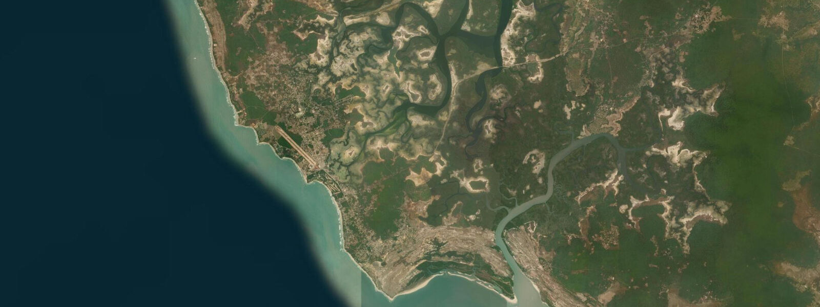
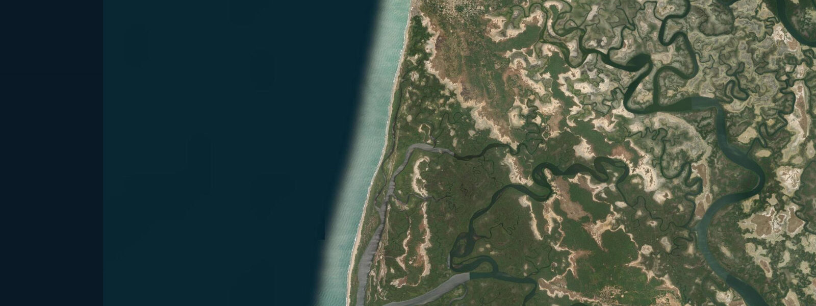
Cap Skirring is the southernmost resort coast in Senegal and arguably the most scenically complete beach on the West African Atlantic — a long arc of white sand backed by palms, with the cape itself breaking the beach into two distinct exposure zones. The northwest-facing side takes the full force of Atlantic groundswell that builds across thousands of kilometres of open ocean before hitting the Casamance coast. The south-facing bay curves away from the dominant swell, offering calmer water that is genuinely swimmable for most of the year.
That split personality is what makes Cap Skirring work as a destination: surfers, swimmers, and snorkellers all get what they came for without competing for the same patch of water. Club Med opened here in the 1970s, making Cap Skirring one of the first African beach resorts marketed to European mass tourism. The resort is still there, though the wider tourism ecosystem has diversified considerably since.
The surf community arrived independently of the resort infrastructure and has built its own quiet circuit of camps and board-rental operations around the point and the beach breaks to the north. 5 metres and above at the swell buoy, and can produce long rides on a clean day. Beach breaks to the north and south of the cape are more consistent across a wider swell range and are where the surf schools work.
Water temperatures here are noticeably warmer than the Dakar coast — the Canary Current cold upwelling reaches its southern limit around Dakar, and by the time you're at 12 degrees north in Casamance, sea surface temperatures typically hold between 24 and 27 degrees year-round. That warmth supports different marine life from the northern Senegal coast: snorkellers working the rocky sections north of the cape find parrotfish, triggerfish, and moray eels in the crevices; green turtles feed on the seagrass patches in the calmer bay sections. 8 metres on spring tides.
The bay geometry amplifies the tidal signal coming in from the Atlantic. On the surf side, low tide exposes rocky reef sections that are completely submerged at high water — these sections add power to the point break but create a more hazardous bottom for anyone who doesn't know the layout. Mid-tide to high tide is the safest window for surfing the point on bigger days; for swimming, the bay side stays manageable across the full tidal range.
3 m accuracy — use them for session planning, then read the water on arrival. The forest villages immediately behind the beach — Kabrousse, Diembéring — are Jola communities where traditional practices are still present. Fishing is done from dugout pirogues launched directly off the beach, targeting barracuda, kingfish, and red snapper.
Charter fishing trips are easy to arrange and the offshore fishing is legitimate, with dorado and wahoo over the deeper banks. The Casamance forest behind the beach is part of the last significant lowland tropical forest block in Senegal; an afternoon walk into the palm groves and cashew orchards back of the beach almost always produces hornbills, bee-eaters, and sunbirds. The Casamance River mouth is 60 km northeast at Ziguinchor — a half-day boat trip into the mangrove creeks is one of the better excursions in this part of Senegal.
Getting here from Dakar: domestic flight to Cap Skirring airport (around one hour, check Air Sénégal seasonal schedules) or the Dakar–Ziguinchor ferry followed by a shared taxi (80 km, roughly 90 minutes). The post-rains period — late October through February — is the sweet spot: forest is green, surf is up, and the humidity has dropped from its wet-season peak.
Tide questions about Cap Skirring
Quick answers to the most common questions about tide times, range, and water access at Cap Skirring.
When is the best time to visit Cap Skirring for surfing?
October through March is the main surf season. Northwest groundswell generated by North Atlantic low-pressure systems reaches Cap Skirring most consistently during this window, and the Harmattan wind provides offshore mornings from December onward. The point break works best on a solid northwest swell of 1.5 metres or above at the buoy — it needs push to fire. Beach breaks are more forgiving and work on smaller days. April and May are transition months: swell becomes less reliable, but water temperatures and winds are pleasant for non-surf activities. June–September is rainy and largely flat surf-wise, though the coast is at its greenest and the fishing is often excellent.
Is Cap Skirring suitable for beginner surfers?
It depends entirely on conditions. The main beach south of the cape has long stretches of sand-bottom beach break that are manageable for intermediates on smaller swell days — knee to waist high on a calm day, the water is warm and forgiving. The point is a different matter: it's a faster, hollower wave that rewards experience and punishes hesitation. Beginners should avoid the point entirely. A handful of surf schools operate from the main beach and rent boards; if you're learning, work with them to read which section is appropriate for your level on a given day. Rip currents form along the rocky sections flanking the cape — know where they are before paddling out.
How do tides affect the surf and swimming at Cap Skirring?
Casamance tides are semi-diurnal with a spring range of roughly 1.2–1.8 metres — larger than the Dakar coast due to bay amplification effects. This is significant enough to change the character of the point and beach breaks noticeably. Low tide exposes reef sections that add power to the point break but also create hazard for anyone unfamiliar with the bottom. High tide softens the beach breaks and covers the rocky obstacles. For swimming, the protected south-facing bay is best at mid to high tide, when the rocks are covered and the water is calmer. Tide predictions from Open-Meteo Marine carry ±45 min accuracy — use them for session planning, then confirm conditions on arrival.
What wildlife can I see around Cap Skirring?
The warm water around the cape supports green and leatherback turtles, which nest on the quieter stretches of beach between January and April. In the water, the rocky sections hold parrotfish, triggerfish, and occasional barracuda visible to snorkellers. The Casamance forests immediately inland are among Senegal's richest for birds — African grey hornbills, violet starlings, red-throated bee-eaters, and a range of wading birds in the mangrove creeks. Monkey troops (green monkeys and western red colobus in the forest patches further east) are visible on the forest tracks. For birding, a half-day guided trip into the villages and rice paddies behind the beach can be arranged through most guesthouses.
How do I get from Dakar to Cap Skirring?
Three main options. Fastest: domestic flight from Dakar's Blaise Diagne International Airport to Cap Skirring airport — approximately one hour, operated seasonally by Air Sénégal and occasionally charter airlines; check current schedules before planning. Most interesting: the Dakar–Ziguinchor ferry (Aline Sitoé Diatta or Aguene) from the Dakar port, crossing overnight in around 14–18 hours, arriving in Ziguinchor — from there, a shared taxi to Cap Skirring is another 80 km, roughly 90 minutes. By road: from Dakar, the Trans-Gambian Highway passes through the Gambia (border crossings at Karang and Farafenni) adding bureaucratic delay; total journey typically 8–10 hours by sept-place. Most travellers flying in opt for the direct flight.
7-day tide table — Cap Skirring
Heights relative to MSL. Predictions: Open-Meteo Marine (MeteoFrance SMOC, 0.08° grid) — heights relative to MSL (not chart datum / LAT). Model-derived.
| Day | Type | Time | Height |
|---|---|---|---|
| Sat 04 Jul | High | 00:00 | 0.5m |
| Low | 04:58 | -0.6m | |
| High | 11:22 | 0.8m | |
| Low | 17:33 | -0.6m | |
| High | 23:42 | 0.6m | |
| Sun 05 Jul | Low | 05:45 | -0.6m |
| High | 12:01 | 0.8m | |
| Low | 18:19 | -0.6m | |
| Mon 06 Jul | High | 00:25 | 0.6m |
| Low | 06:26 | -0.5m | |
| High | 12:45 | 0.8m | |
| Low | 19:05 | -0.6m | |
| Tue 07 Jul | High | 01:14 | 0.6m |
| Low | 19:57 | -0.6m | |
| Wed 08 Jul | High | 02:11 | 0.5m |
| Low | 08:16 | -0.5m | |
| High | 14:21 | 0.6m | |
| Low | 20:51 | -0.6m | |
| Thu 09 Jul | High | 03:13 | 0.5m |
| Low | 09:15 | -0.5m | |
| High | 15:34 | 0.6m | |
| Low | 21:51 | -0.6m | |
| Fri 10 Jul | High | 04:20 | 0.6m |
| Low | 10:23 | -0.5m | |
| High | 16:43 | 0.6m | |
| Low | 23:00 | -0.6m |