Rabigh, Makkah Region tide times
Rabigh, Makkah Region tide forecast — heights relative to MSL.
Today's tide times for Rabigh, Makkah Region
Tide times at Rabigh, Makkah Region on Friday, 19 June 2026: first low tide at 03:50pm. Sunrise 05:39am, sunset 07:10pm.
Tide chart for Rabigh, Makkah Region
24-hour cosine-interpolated curve around the present moment. Heights relative to MSL. Predictions: Predictions: Open-Meteo Marine (MeteoFrance SMOC, 0.08° grid).
Sun, moon and conditions on Fri 19 Jun
Snapshot at build time — refreshes daily. Sea state from Open-Meteo Marine.
Highs and lows next 7 days
Every predicted high and low for the next week, with the daily tidal coefficient (0–120; higher = bigger swing, > 95 means stronger currents).
Other spots nearby
The three closest curated TideTurtle locations to Rabigh, Makkah Region, measured by great-circle distance.
Today's solunar windows
Solunar tradition: major periods are the ≈3h windows around moon transit and opposition; minor are ≈2h around moonrise and moonset. Pair with the local tide stage and wind for the best read.
About tides at Rabigh, Makkah Region
A short guide to the coastline at Rabigh, Makkah Region — geography, sea state, and what the tide is actually doing under your feet.
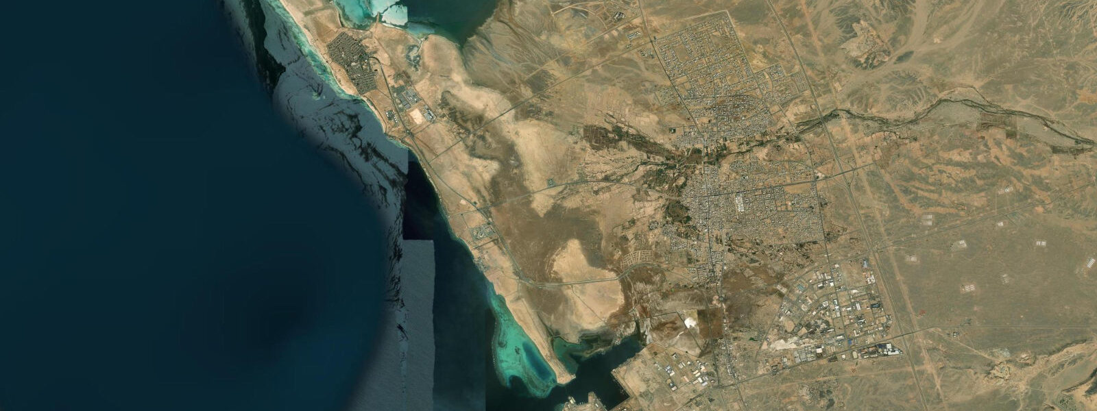
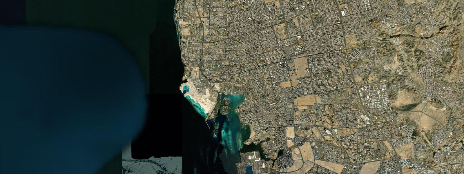
Rabigh is a working city on the Red Sea coast, 150 km north of Jeddah and 90 km south of Yanbu. Two things define it from the water: the PETRO Rabigh petrochemical complex with its tanker jetties to the north of the city, and the Al Marssa traditional fishing harbour on the south side. These two facilities sit within a few kilometres of each other and represent completely different relationships with the sea and the tide.
The tidal regime at Rabigh is mixed semidiurnal with a mean range of 0.5–0.9 m. That range is slightly larger than at Jeddah or Thuwal to the south, and the increase is systematic: moving northward along the Red Sea coast from the tidal minimum in the central basin toward the Gulf of Aqaba, tidal amplitude grows progressively. Rabigh is in the transitional zone where the amplitude is climbing but has not yet reached the larger swings found further north. Two unequal highs and two unequal lows occur each day, with the diurnal inequality meaning the two high waters can differ by 0.2–0.4 m on the same day.
At the PETRO Rabigh industrial port, tidal state feeds directly into tanker operations. The turning basin and approach channels are dredged, but the margin between loaded-vessel draft and channel depth is tight enough that port pilots coordinate arrivals and departures with the tidal curve. A tanker loading a full cargo of petrochemical product will depart on the rising tide to maximize under-keel clearance on the final leg through the harbour approach. This is routine port-tide coordination, the same logic applied in every industrial harbour with constrained draft — but the mixed semidiurnal pattern at Rabigh means the two daily highs are not equal, and pilots working here track which high water is the larger before scheduling deep-draft departures.
The Al Marssa harbour operates on a simpler schedule. Small wooden and fibreglass fishing boats, mostly 7–12 metres, depart before dawn. The pre-dawn departure is both practical and traditional: the flood tide during the early morning hours carries boats seaward efficiently with a following current, and the offshore breeze before sunrise gives a clean reach to the offshore reef grounds. Boats typically return mid-morning on the ebb, riding the current back to harbour and arriving in time for the Al Marssa fish market to open for the day. The catch is primarily reef fish — hamour (grouper), snapper, and smaller species taken by handline and net on the offshore reef system to the west of Rabigh Bay.
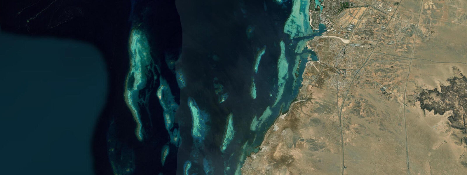
That reef system draws recreational divers, mostly travelling from Jeddah as a day or weekend trip. The reefs west of Rabigh in the Red Sea offshore lie in water 15–40 m deep and hold the hard coral communities typical of the northern Red Sea: table corals, massive Porites heads, and the branching Acropora colonies that characterise healthy Red Sea reef crests. The tidal current over the reef tops is gentle — typically under 0.5 knots at this latitude — making navigation and buoyancy control straightforward for recreational divers. The offshore location keeps turbidity low; visibility of 15–25 m is normal in the October–March period.
For beach families, Rabigh Bay itself is sheltered by the headlands and the offshore reef structure. The narrow tidal range means beach access is consistent across the tidal cycle — the shoreline does not migrate significantly with the tide. The water is shallow inshore, warming quickly in summer to above 30°C. The best conditions for family beach use are the winter months, October through March, when sea temperatures sit at 24–27°C and the air is not prohibitively hot.
Photographers working the Rabigh coast have two distinct subjects: the industrial geometry of the PETRO Rabigh complex to the north — lit at night by flare stacks and processing plant lights — and the traditional harbour at Al Marssa, where the pre-dawn return of the fishing fleet in early morning light provides a scene unchanged in character over generations even as the boats themselves have modernised. The contrast between the two makes Rabigh an unusual Red Sea coastal town to document.
Tide data for Rabigh, Makkah Region comes from the Open-Meteo Marine API, a gridded model product. Timing accuracy is ±45 minutes, height accuracy ±0.3 m — usable for trip planning, not for navigation.
Tide questions about Rabigh, Makkah Region
Quick answers to the most common questions about tide times, range, and water access at Rabigh, Makkah Region.
What is the tidal range at Rabigh and how does it compare to Jeddah?
Rabigh has a mean tidal range of 0.5–0.9 m, marginally larger than Jeddah's 0.4–0.7 m range. The difference reflects Rabigh's position further north along the Red Sea coast. As you travel north from the central Red Sea tidal minimum toward the Gulf of Aqaba, the tidal amplitude gradually increases. At Rabigh the regime is mixed semidiurnal: two unequal highs and two unequal lows per day. On a spring day the two high waters might differ by 0.3 m, which matters for industrial port operations but is a minor variable for beach visitors. Heights from the Open-Meteo model carry ±0.3 m accuracy — use them for general trip planning, not for navigation or port operations.
When does the Al Marssa fishing fleet depart and return?
The small boats at Al Marssa harbour typically depart before 05:00 to catch the early flood tide and the offshore breeze that develops before dawn. The flood current runs northward along the coast, helping boats cross Rabigh Bay efficiently toward the offshore reef grounds to the west. Most boats return mid-morning, between 09:00 and 11:00, riding the ebb current back into harbour. The timing is functional rather than ceremonial: the morning fish market at Al Marssa sets up for buyers around 09:30, so boats arriving mid-morning align with the market window. Visiting the harbour at 08:00–09:00 will catch returning boats unloading reef fish on the quayside.
Are the offshore reefs near Rabigh accessible for recreational diving?
Yes. The reef system west of Rabigh in the open Red Sea is accessible as a day trip from Jeddah (approximately 1.5 hours by car) and is dived regularly by recreational divers based there. The reefs lie in 15–40 m of water with visibility typically 15–25 m from October to March. Tidal current over the reef crests is gentle, under 0.5 knots at this latitude, so the dives are not technically demanding from a current-management standpoint. There is no established dive centre operating directly in Rabigh town; divers arrange boats through operators in Jeddah. Sea conditions in summer (June–September) deteriorate with warmer water and reduced visibility from plankton growth; October through March is the preferred season.
How do tanker operations at PETRO Rabigh use tidal information?
PETRO Rabigh's industrial port handles large petrochemical tankers whose loaded drafts require careful under-keel clearance management in the harbour approach. Port pilots coordinate deep-draft arrivals and departures with the tidal curve, preferring the rising or high-water phase to maximise clearance. The mixed semidiurnal pattern at Rabigh — two unequal highs per day — means the larger of the two daily highs is the preferred departure window for heavily laden vessels. The 0.5–0.9 m mean range is modest by global port standards, but even this small range affects the timing of operations where margins are tight. The tide predictions used in port operations are issued by the Saudi Port Authority, not the Open-Meteo model.
What marine species can anglers target from the Rabigh coast and offshore reefs?
Shore anglers along Rabigh Bay target grouper (locally called hamour), snapper, barracuda, and jack from rocky points and jetty structures. The most productive shore sessions typically fall on the first two hours of the morning flood tide, when current moving northward along the reef edge activates feeding behaviour. From the offshore reef grounds accessible by boat, the same species are available in larger sizes; hamour over 5 kg are regularly taken by handline on the outer reef slopes. The reef system also holds emperor fish and various parrotfish species. Trolling between Rabigh and the offshore reef grounds produces wahoo and kingfish (narrow-barred Spanish mackerel) in the cooler months, with the strongest action in November through February.
8-day tide table — Rabigh, Makkah Region
Heights relative to MSL. Predictions: Open-Meteo Marine (MeteoFrance SMOC, 0.08° grid) — heights relative to MSL (not chart datum / LAT). Model-derived.
| Day | Type | Time | Height |
|---|---|---|---|
| Fri 19 Jun | Low | 15:50 | -0.1m |
| Sat 20 Jun | High | 10:45 | 0.3m |
| Low | 17:00 | -0.0m | |
| Sun 21 Jun | — | ||
| Mon 22 Jun | High | 13:10 | 0.3m |
| Tue 23 Jun | Low | 08:00 | 0.1m |
| Wed 24 Jun | High | 02:10 | 0.3m |
| Low | 09:00 | 0.1m | |
| Thu 25 Jun | High | 03:00 | 0.3m |
| Low | 09:50 | 0.0m | |
| Fri 26 Jun | High | 02:00 | 0.2m |