Safaga, Red Sea tide times
Safaga, Red Sea tide forecast — heights relative to MSL.
Today's tide times for Safaga, Red Sea
Tide times at Safaga, Red Sea on Friday, 19 June 2026: first low tide at 03:47am, first high tide at 09:52am, second low tide at 04:04pm. Sunrise 05:50am, sunset 07:39pm.
Tide chart for Safaga, Red Sea
24-hour cosine-interpolated curve around the present moment. Heights relative to MSL. Predictions: Predictions: Open-Meteo Marine (MeteoFrance SMOC, 0.08° grid).
Sun, moon and conditions on Fri 19 Jun
Snapshot at build time — refreshes daily. Sea state from Open-Meteo Marine.
Highs and lows next 7 days
Every predicted high and low for the next week, with the daily tidal coefficient (0–120; higher = bigger swing, > 95 means stronger currents).
Other spots nearby
The three closest curated TideTurtle locations to Safaga, Red Sea, measured by great-circle distance.
Today's solunar windows
Solunar tradition: major periods are the ≈3h windows around moon transit and opposition; minor are ≈2h around moonrise and moonset. Pair with the local tide stage and wind for the best read.
Cycle dates near Safaga, Red Sea
Last spring tide on Fri 19 Jun (range 0.6m). Next neap on Wed 24 Jun.
Spring tides cluster around new and full moons (biggest swings). Neap tides land on quarter moons (smallest swings). See the spring tide and neap tide glossary entries for the why.
About tides at Safaga, Red Sea
A short guide to the coastline at Safaga, Red Sea — geography, sea state, and what the tide is actually doing under your feet.
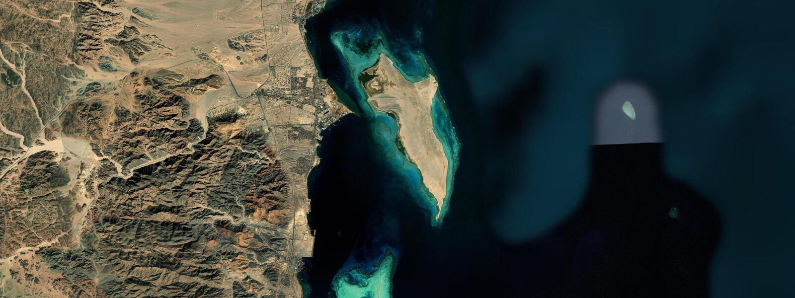
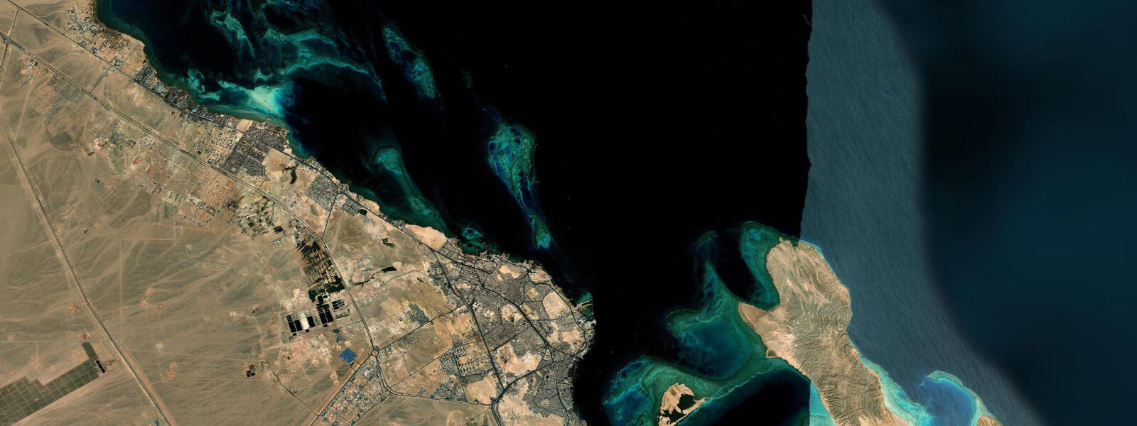
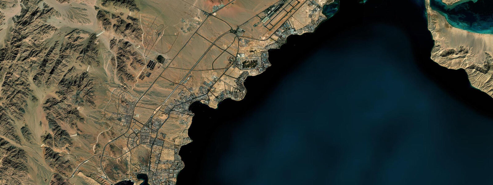
Safaga is a working port 50 km south of Hurghada, on the Egyptian Red Sea coast. The town exports phosphate from inland mines via a bulk terminal on the north side of the bay, and processes Hajj passenger traffic for Egyptian pilgrims making the sea crossing. It is not a resort town — the infrastructure reflects its industrial and transit role — but the bay's wind and wave conditions have made it one of the most consistently rated kitesurfing and windsurfing venues in the Red Sea.
The tidal regime is the same mixed semidiurnal pattern found across the Egyptian Red Sea coast: mean range of 0.6 to 0.9 m, with two unequal high waters and two low waters per day. On its own, that tidal range would not generate particularly interesting water surface conditions. What Safaga Bay produces is an interaction effect: the consistent NW Shamal wind driving against the tidal ebb creates a short, steep, textured chop across the bay. The wave period is short — 3 to 5 seconds — and the fetch across the bay is limited, so the waves don't run long. What they do is provide constant, energy-dense surface texture ideal for advanced kitesurfing and windsurfing manoeuvres.
The Shamal is the defining meteorological feature of Safaga's water sport season. From April through October, the NW wind arrives most afternoons and runs at 15 to 25 knots — strong enough for powered riding without being challenging for intermediate-level kiters. The season peak is July and August, when Shamal frequency is highest and afternoon wind is almost guaranteed. Morning conditions are lighter and flatter; the bay empties of kite gear in the morning and fills again after 13:00 when the wind builds.
Kitesurfing and windsurfing launches in Safaga Bay operate from Soma Bay, the resort development on the southern side of the bay. The resort hotels there cater specifically to wind-sport visitors, with rigging areas, rescue boats, and direct beach access to the kite zone. The geometry of the bay is relevant: the phosphate terminal occupies the north shore and is off-limits; the riding area is the central and southern bay, where the wind has maximum fetch across open water before reaching the launch beaches.
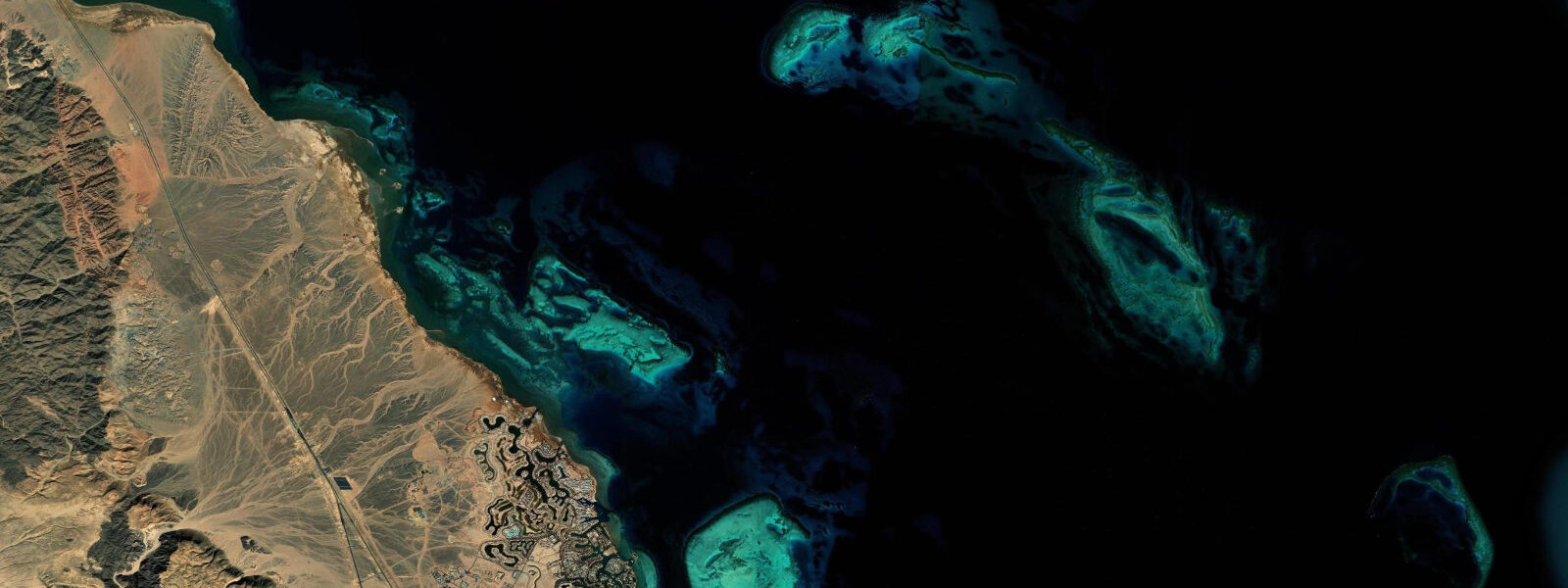
Panorama Reef sits 8 km north of Safaga. It is an offshore reef pillar that rises from approximately 30 m depth to near the surface — visible as a shallow reef top at 2 to 4 m. The site is accessible by boat from Safaga's dive operators and is rated among the more productive dive sites in the northern Red Sea, with significant fish density on the reef faces and strong current-dependent schooling behaviour on the deeper walls. Current runs stronger on the ebb at Panorama Reef than at inshore sites — the detached reef structure accelerates tidal flow around it. Dive operators brief current conditions before departure and plan entry/exit points based on the tidal state.
For anglers, the bay's tidal flow creates feeding conditions on the ebb that concentrate predatory fish near the reef edges. Trolling from small boats along the reef line north of the bay, timing the run to coincide with the stronger afternoon ebb under the Shamal, is the local method. Shore fishing from the rocky southern headland of the bay produces small reef species year-round.
Beach families do not typically base at Safaga town — the beach options there are limited and the industrial port presence is prominent. Soma Bay, separated from the port area by the bay's arc, offers resort-standard beach conditions. The bay water is clear and warm (26 to 28°C in summer, 22 to 23°C in winter), with the standard Red Sea shallow-reef beach profile: sandy bottom in the swimming zone, with reef beginning 50 to 100 m offshore.
Photographers working Safaga have a specific subject: the contrast between the industrial phosphate loading terminal on the north shore — yellow-orange dust staining the quay structures and the air above — and the turquoise bay water. Morning light from the east catches the terminal's silhouette; the bay surface at this hour is flat before the Shamal builds. Sunset shoots from the Soma Bay beaches look back across the bay to the Safaga Hills inland, where the phosphate mines cut visible terraces into the plateau.
Tide data for Safaga, Red Sea comes from the Open-Meteo Marine API, a gridded model product. Timing accuracy is ±45 minutes, height accuracy ±0.3 m — usable for trip planning, not for navigation.
Tide questions about Safaga, Red Sea
Quick answers to the most common questions about tide times, range, and water access at Safaga, Red Sea.
Why is Safaga Bay rated highly for kitesurfing and windsurfing?
The bay produces a specific combination: the NW Shamal wind — 15 to 25 knots most afternoons from April through October — interacts with the tidal ebb to create a short, textured chop across the bay surface. The wave period is 3 to 5 seconds, generating energy-dense surface conditions that advanced kiters and windsurfers actively seek. The bay geometry funnels wind across open water before it reaches the Soma Bay launch beaches on the south shore. This is not a learning venue — it suits intermediate to advanced riders who want reliable power and surface texture rather than flat beginner conditions.
What is Panorama Reef and how do I access it?
Panorama Reef is an offshore reef pillar 8 km north of Safaga, rising from approximately 30 m depth to within 2 to 4 m of the surface. It is reached by boat from dive operators at Soma Bay or Safaga town — transit time is 20 to 25 minutes each way. The site is noted for fish density on the reef faces and schooling behaviour on the deeper walls, driven by tidal current around the isolated pillar structure. Current runs harder here than at inshore sites, particularly on the ebb. Reputable dive operators check the tidal state and adjust entry points accordingly — ask the dive briefing team which side they plan to use before getting in.
How does the tidal cycle affect water sport conditions in Safaga Bay?
Safaga Bay runs a mixed semidiurnal tide with a mean range of 0.6 to 0.9 m. The two daily high waters are unequal — one higher cycle and one lower cycle per day. The ebb tide opposing the Shamal wind is what generates the choppy surface condition that makes the bay useful for advanced kitesurfing. On an incoming tide with light wind, the bay is considerably flatter. For fishing, the ebb concentrates predatory fish near the reef edges north of the bay. For diving at Panorama Reef, the tidal state determines current strength and entry point — check before departure.
Is Safaga suitable for families or casual beach visitors?
Safaga town itself is a working industrial port — the phosphate terminal, commercial shipping, and pilgrim transit infrastructure dominate the north side of the bay, and the beach options in town are limited. Families and casual beach visitors are better served by Soma Bay, the resort development on the south side of the bay, which offers sandy beach access, clear warm water (26 to 28°C in summer), and reef snorkelling within a short swim of the beach. The wind-sport activity on the bay is concentrated in the afternoon; morning hours at Soma Bay beaches are calmer and better for families with young children.
What is the best time of year to visit Safaga for wind sports?
April through October is the Shamal season, with July and August as the peak months when afternoon wind is almost guaranteed at 15 to 25 knots. May, June, and September are productive and less crowded than peak summer. The transition months of March and November can deliver Shamal conditions but with less frequency — some days the wind is light or absent. Winter months (December to February) see calmer conditions, and the bay switches to a more dive-focused destination in this period. Water temperature year-round stays above 22°C, so a 3 mm wetsuit covers most winter diving and wind-sport situations.
8-day tide table — Safaga, Red Sea
Heights relative to MSL. Predictions: Open-Meteo Marine (MeteoFrance SMOC, 0.08° grid) — heights relative to MSL (not chart datum / LAT). Model-derived.
| Day | Type | Time | Height |
|---|---|---|---|
| Fri 19 Jun | Low | 03:47 | -0.2m |
| High | 09:52 | 0.3m | |
| Low | 16:04 | -0.3m | |
| Sat 20 Jun | High | 10:50 | 0.3m |
| Low | 17:00 | -0.2m | |
| High | 23:38 | 0.4m | |
| Sun 21 Jun | Low | 05:55 | -0.2m |
| High | 12:06 | 0.3m | |
| Low | 18:10 | -0.2m | |
| Mon 22 Jun | High | 00:40 | 0.4m |
| Low | 07:00 | -0.1m | |
| High | 13:10 | 0.3m | |
| Low | 19:18 | -0.1m | |
| Tue 23 Jun | High | 01:40 | 0.3m |
| Low | 08:15 | -0.2m | |
| High | 14:18 | 0.2m | |
| Wed 24 Jun | Low | 09:06 | -0.2m |
| High | 15:18 | 0.2m | |
| Low | 21:15 | -0.1m | |
| Thu 25 Jun | High | 03:15 | 0.2m |
| Low | 09:54 | -0.2m | |
| High | 16:15 | 0.2m | |
| Low | 22:10 | -0.1m | |
| Fri 26 Jun | High | 02:00 | 0.1m |