Thuwal, Makkah Region tide times
Thuwal, Makkah Region tide forecast — heights relative to MSL.
Today's tide times for Thuwal, Makkah Region
Tide times at Thuwal, Makkah Region on Friday, 19 June 2026: first high tide at 09:15am, first low tide at 03:45pm. Sunrise 05:40am, sunset 07:10pm.
Tide chart for Thuwal, Makkah Region
24-hour cosine-interpolated curve around the present moment. Heights relative to MSL. Predictions: Predictions: Open-Meteo Marine (MeteoFrance SMOC, 0.08° grid).
Sun, moon and conditions on Fri 19 Jun
Snapshot at build time — refreshes daily. Sea state from Open-Meteo Marine.
Highs and lows next 7 days
Every predicted high and low for the next week, with the daily tidal coefficient (0–120; higher = bigger swing, > 95 means stronger currents).
Other spots nearby
The three closest curated TideTurtle locations to Thuwal, Makkah Region, measured by great-circle distance.
Today's solunar windows
Solunar tradition: major periods are the ≈3h windows around moon transit and opposition; minor are ≈2h around moonrise and moonset. Pair with the local tide stage and wind for the best read.
About tides at Thuwal, Makkah Region
A short guide to the coastline at Thuwal, Makkah Region — geography, sea state, and what the tide is actually doing under your feet.
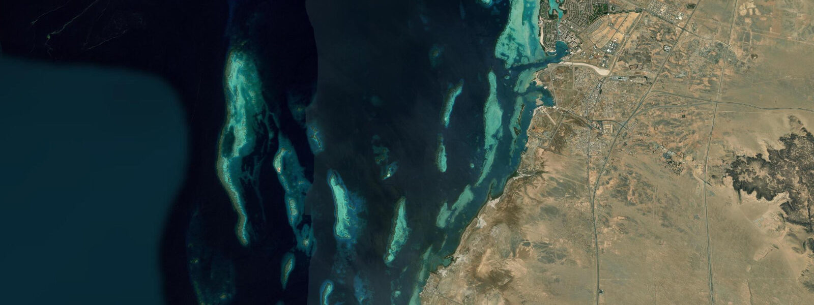
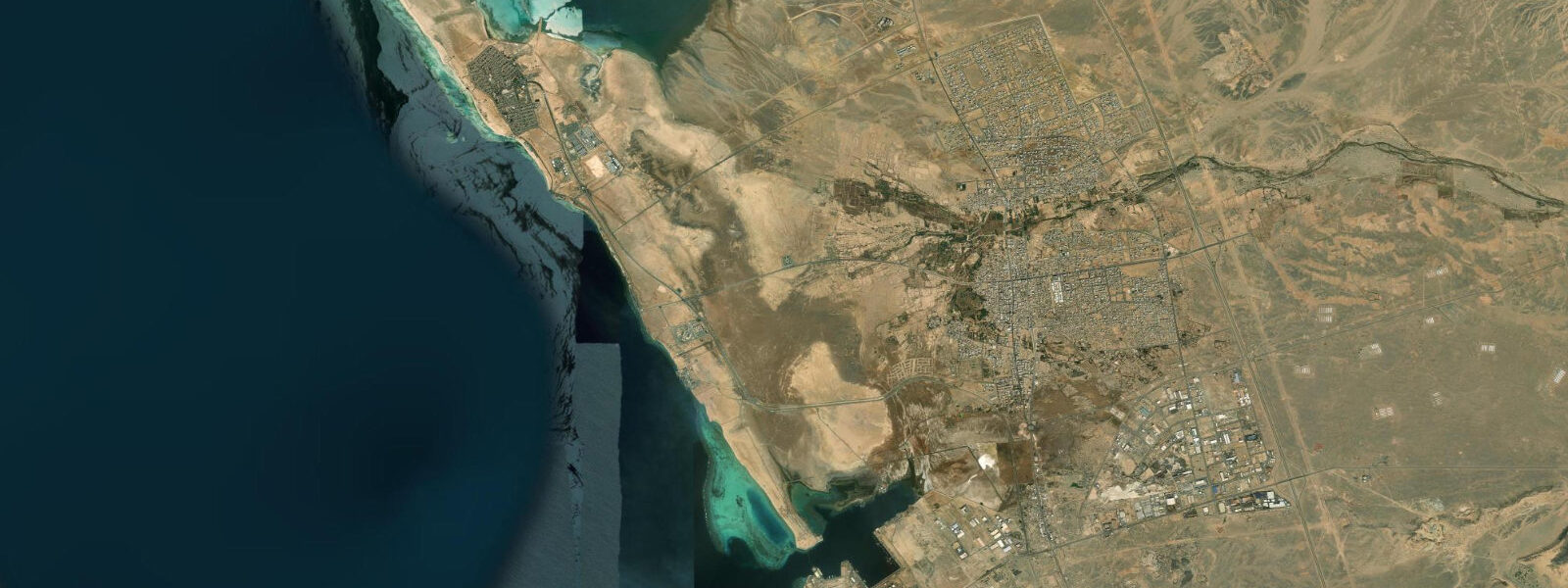
Thuwal sits on the Red Sea coast 80 km north of Jeddah, inside the King Abdullah University of Science and Technology campus. The KAUST campus wraps around a sheltered cove where the Red Sea Research Center runs one of the world's most active coral research programmes. Access to the coast here is controlled — you need campus affiliation or research approval — which makes the reef system offshore unusually intact for a site so close to a large metropolitan region.
The Red Sea is not a high-tidal sea. At Thuwal the tidal regime is mixed semidiurnal: two unequal highs and two unequal lows per day, with a mean range between 0.4 m and 0.7 m. That compressed range is a direct consequence of where Thuwal falls along the Red Sea's length. The sea resonates like a tilted basin: the tidal node sits in the central section, roughly between 18°N and 22°N, where the astronomical signal nearly cancels itself out. Thuwal, at 22.3°N, is at the northern edge of that tidal minimum. The practical result is that the difference between high and low water on a typical day is less than half a metre. Anglers fishing the reef edges, paddlers crossing to nearby shoals, and dive boat operators all operate in a tidal environment where the question is less "when is high water" and more "which direction is the current running and how strongly."
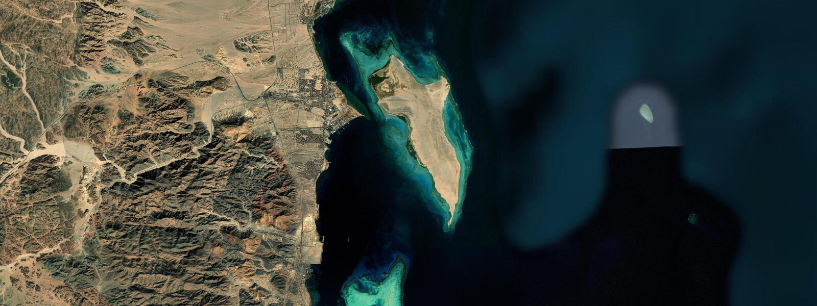
The current matters more than the height. During the flood phase, water moves northward along the coast; during the ebb it reverses. Reef channels concentrate these movements. At the Al-Fahal reef, 5 km offshore from the KAUST campus, the channel currents during spring tides can reach 0.5–0.8 knots — enough to affect snorkel routes and make certain entry points more efficient than others. Al-Fahal is a marine protected area, and the reef contains over 300 documented coral species, with the Red Sea Research Center maintaining one of the longest continuous coral bleaching records for any reef system in the Indo-Pacific. The thermal and tidal observations from this reef have fed directly into global climate models.
For researchers and affiliated visitors, the Red Sea coast at Thuwal presents a working environment as much as a recreational one. The intertidal zone here is narrow because the tidal range is narrow — exposed reef flat during low water is shallow, extending perhaps 30–50 m before dropping to reef slope. Intertidal surveys can be timed to the daily low, which in summer typically falls in the morning and again in the late afternoon. The cooler morning low is the practical choice for any fieldwork requiring time on exposed reef.
Beach families using the campus beach area should note that the Red Sea's gentle tidal regime creates consistent swimming conditions. There are no dramatic tidal rip currents here, and the reef acts as a wave break, keeping the inshore water calm. The wind regime — onshore sea breeze most afternoons, offshore by early morning — matters more than tidal state for inshore surface conditions. Photographers working the sunrise over the Red Sea from the KAUST coast catch the low-angle light over the water with the Hejaz mountains visible to the east at certain angles after dawn; the calm pre-breeze morning coincides with the best optical conditions.
KAUST's Red Sea Research Center maintains weather and oceanographic monitoring stations, so real-time surface conditions are tracked more rigorously here than at most comparable Red Sea sites. Open-Meteo's model data for this position draws on a well-observed stretch of coast. The semi-enclosed nature of the Red Sea limits swell from distant storms; the surface conditions at Thuwal are locally generated, which makes forecast timing more reliable than at Atlantic or open-ocean sites.
For dive planning at Al-Fahal: the short crossing from the KAUST marina takes 15–20 minutes by research vessel or dive tender. The reef wall drops steeply from the surface. Visibility regularly exceeds 20 m in the winter months; summer brings warmer water and reduced visibility from plankton blooms. Tidal current planning is straightforward at this range — incoming and outgoing phases are each roughly six hours, and current direction is more useful information than water height for timing a reef dive.
Tide data for Thuwal, Makkah Region comes from the Open-Meteo Marine API, a gridded model product. Timing accuracy is ±45 minutes, height accuracy ±0.3 m — usable for trip planning, not for navigation.
Tide questions about Thuwal, Makkah Region
Quick answers to the most common questions about tide times, range, and water access at Thuwal, Makkah Region.
What is the tidal range at Thuwal on the Red Sea?
At Thuwal the mean tidal range is 0.4–0.7 m, making it one of the smallest tidal environments on the Red Sea coast. Thuwal sits near the tidal node of the central Red Sea — the resonant null zone where the astronomical tidal signal is at its weakest. The regime is mixed semidiurnal, producing two unequal highs and two unequal lows each day. On most days the difference between high and low water is under half a metre. For practical purposes at Thuwal, current direction matters more than tidal height: the reef channels at Al-Fahal see 0.5–0.8 knots on spring tides. Heights given by the Open-Meteo model carry ±0.3 m accuracy and should be used for trip planning only, not navigation.
Can the public access the Thuwal coast and Al-Fahal reef?
The Thuwal coastline and the Al-Fahal reef marine protected area fall within the KAUST campus boundary. Access requires campus affiliation, a research invitation, or approved guest status. The reef itself is a designated marine protected area managed in coordination with the Red Sea Research Center. Recreational diving at Al-Fahal is possible for KAUST-affiliated visitors and approved guests; independent access from outside the campus is not available. Researchers and graduate students affiliated with KAUST can access dive operations through the campus marina. If you are travelling from Jeddah specifically to dive this reef, confirm access arrangements with KAUST before departure.
When is the best time for snorkelling or diving at Al-Fahal reef?
Water clarity at Al-Fahal is best between October and March, when surface temperatures drop to 23–26°C and plankton concentrations are lower. Visibility regularly exceeds 20 m in winter. Summer months (June–September) bring warmer water above 30°C and reduced visibility from seasonal plankton blooms. Tidal state has less effect on dive planning here than at high-range sites — the 0.4–0.7 m range does not create large depth changes at the reef edge. Current direction during the spring-tide flood and ebb phases is worth noting for reef channel crossings; morning dives before the afternoon sea breeze develops tend to give calmer surface conditions for the boat crossing from the KAUST marina.
What fish and marine life are present at Thuwal's reefs?
Al-Fahal reef holds over 300 documented coral species and supports the diversity of reef fish typical of healthy Red Sea systems: humphead wrasse, Napoleon fish, various grouper species, moray eels, and the reef sharks (whitetip and blacktip) that patrol the drop-off. The Red Sea Research Center's long-term monitoring has documented multiple bleaching events and recovery cycles, and Al-Fahal's remoteness from coastline development keeps the reef in comparatively good condition. The intertidal zone at Thuwal supports sea urchins, brittle stars, and small reef fish in the shallow lagoon areas. Whale sharks have been recorded in the offshore waters north of Jeddah, with sightings typically between March and May.
How does tidal timing affect fishing from the Thuwal coast?
The narrow tidal range at Thuwal (0.4–0.7 m) means the primary variable for shore fishing is current direction rather than water depth change. The flood phase, when current runs northward along the reef edge, concentrates bait fish and brings predatory species — grouper, jack, barracuda — closer to the reef break. Fishing the first two hours of the flood on a spring tide is the consistent local pattern. The ebb can produce action on certain reef channel edges. Casting distance from the shore changes little with tide height given the compressed range; wading out to the reef flat during low water adds only a few metres of depth. Fish move primarily with current and light, so the pre-dawn flood transition is the high-probability session for shore anglers.
8-day tide table — Thuwal, Makkah Region
Heights relative to MSL. Predictions: Open-Meteo Marine (MeteoFrance SMOC, 0.08° grid) — heights relative to MSL (not chart datum / LAT). Model-derived.
| Day | Type | Time | Height |
|---|---|---|---|
| Fri 19 Jun | High | 09:15 | 0.3m |
| Low | 15:45 | -0.0m | |
| Sat 20 Jun | — | ||
| Sun 21 Jun | High | 11:50 | 0.2m |
| Mon 22 Jun | Low | 06:50 | 0.1m |
| Tue 23 Jun | High | 01:15 | 0.3m |
| Wed 24 Jun | Low | 09:00 | 0.1m |
| Thu 25 Jun | High | 03:00 | 0.3m |
| Low | 10:00 | 0.0m | |
| Fri 26 Jun | High | 02:00 | 0.2m |