Jeddah tide times
Jeddah tide forecast — heights relative to MSL.
Today's tide times for Jeddah
Tide times at Jeddah on Friday, 31 July 2026: first low tide at 01:00pm. Sunrise 05:55am, sunset 07:03pm.
Tide chart for Jeddah
24-hour cosine-interpolated curve around the present moment. Heights relative to MSL. Predictions: Predictions: Open-Meteo Marine (MeteoFrance SMOC, 0.08° grid).
Sun, moon and conditions on Fri 31 Jul
Snapshot at build time — refreshes daily. Sea state from Open-Meteo Marine.
Highs and lows next 7 days
Every predicted high and low for the next week, with the daily tidal coefficient (0–120; higher = bigger swing, > 95 means stronger currents).
Other spots nearby
The three closest curated TideTurtle locations to Jeddah, measured by great-circle distance.
Today's solunar windows
Solunar tradition: major periods are the ≈3h windows around moon transit and opposition; minor are ≈2h around moonrise and moonset. Pair with the local tide stage and wind for the best read.
About tides at Jeddah
A short guide to the coastline at Jeddah — geography, sea state, and what the tide is actually doing under your feet.
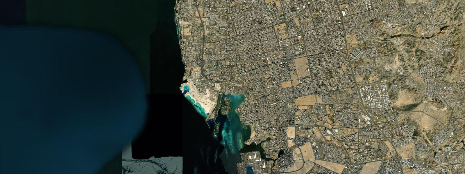
Jeddah sits on the Red Sea roughly halfway up the Saudi coast, positioned where the continental shelf is wide enough to support the King Abdulaziz Seaport — one of the largest ports in the Middle East — and the reef system is close enough to shore to have shaped the city's historic identity. The old district of Al-Balad, a UNESCO World Heritage Site, was built from coral rock cut from the reef: the distinctive mashrabiya screens on the historic houses and the coral-block walls of the old souqs and caravanserais record a time when the reef itself was the primary building material available on this stretch of coast. The Corniche runs north from the port along the seafront for roughly 30 kilometres, offering the most accessible Red Sea frontage in Jeddah.
The King Fahd Fountain, visible from most of the north Corniche, is a reference point for the offshore distance to the reef edge, which sits roughly 2 to 4 kilometres from the Corniche promenade at this latitude, with the shallow fringing shelf of coral, sand, and seagrass in between. The tidal regime at Jeddah is semidiurnal: two highs and two lows roughly 12 hours 25 minutes apart. 8 metres, with spring tides around new and full moons pushing toward the upper end and neap tides at the quarter moons compressing toward the lower.
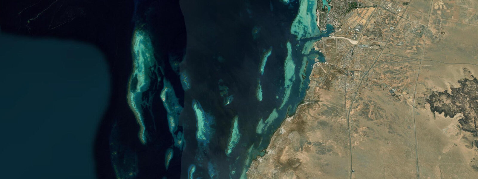
The Red Sea's tidal signal is constrained by its basin geometry. The sea connects to the Indian Ocean only through the narrow Bab el-Mandeb Strait at its southern end, and the resonant length of the basin moderates the tidal amplitude along the central Saudi coast. The swing at Jeddah is enough to drain the inner reef flat at low water, exposing the reef table in places for wading and tidepool access, and to noticeably shift the snorkelling depth over the outer reef edge.
It is not enough to produce the dramatic intertidal exposure seen on open-ocean coasts. Diving and snorkelling access to the reef is primarily by boat from the Balad fishing harbour or from the private marina complexes on the north Corniche. The Abu Madafi reef system and the Qita al-Kirsh reef further south are the destinations for organised dive charters, typically half- or full-day trips.
The reefs directly offshore of central Jeddah have been degraded by sedimentation and runoff from port and coastal development, but the outer reefs accessed by boat remain some of the better-preserved coral systems on the Saudi coast. Shore fishing from the Corniche sea wall targets smaller reef species — snapper, grunt, and mullet around the structures — and the Sharm Obhur inlet north of central Jeddah, where a shallow tidal channel connects a large brackish lagoon to the Red Sea, is used by kayakers and small-boat anglers who work the channel current on the tidal exchange. Wind, particularly the shamal from the north in the June-to-September season, modulates water level along the Jeddah Corniche by tens of centimetres independent of the predicted tide.
A sustained northerly stacks water against the Saudi eastern-central coast and pushes the Corniche level above prediction; when the wind drops, the setup relaxes. Dust hazes during the shamal season reduce visibility at the reef substantially. The Saudi Coast Guard and the Saudi Ports Authority operate the sea-level gauge network and the vessel traffic management at King Abdulaziz Seaport.
Those are the authoritative sources for harbour pilotage, port scheduling, and any operation that depends on precise water level along the Jeddah coast. The predictions on this page come from Open-Meteo Marine, a gridded global ocean model. 3 metres on height.
On a coast with a mean range under a metre, the height uncertainty is a meaningful fraction of the total signal. Use the predicted rhythm for activity planning, and use the Saudi Ports Authority data for any decision that depends on precise level.
Tide questions about Jeddah
Quick answers to the most common questions about tide times, range, and water access at Jeddah.
When is the next high tide at Jeddah?
The tide times shown at the top of this page give the next predicted high at Jeddah in Arabia Standard Time (AST, UTC+3, no daylight saving time). Jeddah runs a semidiurnal tide — two highs and two lows per day, roughly 12 hours 25 minutes between successive highs. The range is modest: 0.3 to 0.8 metres in typical conditions, with spring tides around new and full moons reaching the upper end of that band. Wind from the north during the summer shamal season can push water level above or below the predicted value by tens of centimetres. For authoritative Red Sea tide data, the Saudi Ports Authority is the source of record.
Why is the tidal range at Jeddah so small?
The Red Sea connects to the wider Indian Ocean only through the narrow Bab el-Mandeb Strait at its southern end. That restricted opening, combined with the resonant length of the basin, moderates the tidal signal across the entire Red Sea. The central section, where Jeddah sits, typically sees mean astronomical ranges of 0.3 to 0.8 metres — much smaller than open Pacific or Atlantic coasts. Spring tides push toward the upper end of that band, neaps compress it. Wind-driven water-level fluctuations on this coast can equal or exceed the astronomical tidal range during strong shamal events in summer.
Where does the tide data for Jeddah come from?
Predictions on this page come from Open-Meteo Marine, a free gridded global ocean model. It estimates tidal height from oceanographic equations applied across a geographic grid, not from harmonic analysis of a dedicated Jeddah gauge record. Accuracy is typically within plus or minus 45 minutes on timing and 0.2 to 0.3 metres on height — model-derived, not a local gauge. With a mean tidal range under a metre at Jeddah, that height uncertainty is a significant fraction of the total signal. The Saudi Ports Authority and the Saudi Coast Guard operate the authoritative sea-level monitoring network in the Red Sea and are the reference for any commercial or navigational decision.
Is it safe to snorkel and dive at Jeddah's reefs?
The offshore reefs accessible by charter boat out of Jeddah — Abu Madafi and the outer reef systems to the south — are in good condition and suit intermediate snorkellers and divers. The reef immediately offshore of central Jeddah has been affected by coastal development and sedimentation; the boat sites are better. Check visibility before committing: shamal-season dust hazes, runoff after rare rainfall events, and plankton blooms all reduce underwater visibility significantly. The tidal current through the reef channels is mild on this small-range coast but not zero. Dive operators working out of Jeddah routinely factor the tidal phase into site selection and return timing — follow their lead.
Can I fish from the Jeddah Corniche or does the tide matter?
Shore angling from the Corniche sea wall and from the rocky points south of the old port targets snapper, grouper, grunt, and mullet around the submerged structures and artificial reef formations near the shore. The incoming tide generally concentrates fish activity closest to the wall, and the Sharm Obhur tidal inlet north of the city produces good channel fishing on the tidal exchange — the hour or two around the turning tide when water is moving in or out through the channel entrance. The predicted tides on this page are a useful planning tool; the Saudi Coast Guard should be notified of any offshore fishing excursion beyond the Corniche zone, and private reef access requires checking current permits.
6-day tide table — Jeddah
Heights relative to MSL. Predictions: Open-Meteo Marine (MeteoFrance SMOC, 0.08° grid) — heights relative to MSL (not chart datum / LAT). Model-derived.
| Day | Type | Time | Height |
|---|---|---|---|
| Fri 31 Jul | Low | 13:00 | -0.0m |
| Sat 01 Aug | — | ||
| Sun 02 Aug | — | ||
| Mon 03 Aug | — | ||
| Tue 04 Aug | High | 22:00 | 0.1m |
| Wed 05 Aug | Low | 16:00 | 0.0m |