Port Elizabeth, Bequia tide times
Port Elizabeth, Bequia tide forecast — heights relative to MSL.
Today's tide times for Port Elizabeth, Bequia
Tide times at Port Elizabeth, Bequia on Saturday, 4 July 2026: first high tide at 04:42am, first low tide at 11:45am. Sunrise 05:43am, sunset 06:35pm.
Tide chart for Port Elizabeth, Bequia
24-hour cosine-interpolated curve around the present moment. Heights relative to MSL. Predictions: Predictions: Open-Meteo Marine (MeteoFrance SMOC, 0.08° grid).
Sun, moon and conditions on Sat 04 Jul
Snapshot at build time — refreshes daily. Sea state from Open-Meteo Marine.
Highs and lows next 7 days
Every predicted high and low for the next week, with the daily tidal coefficient (0–120; higher = bigger swing, > 95 means stronger currents).
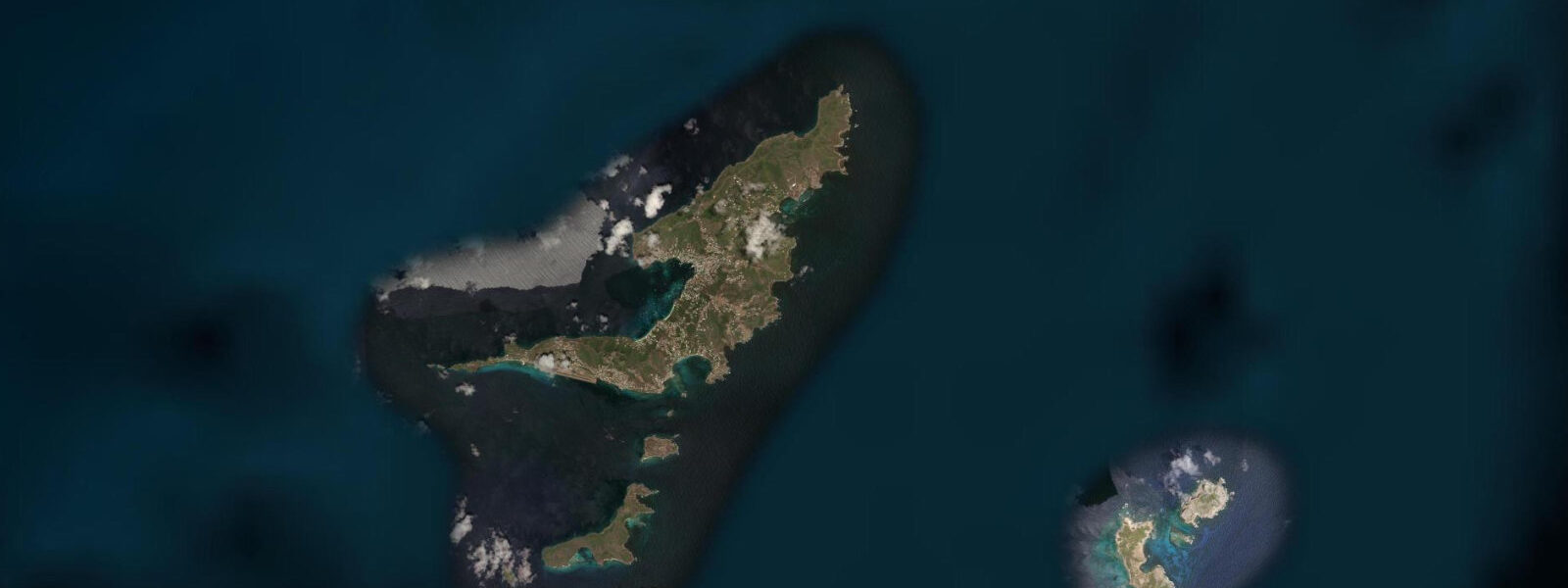
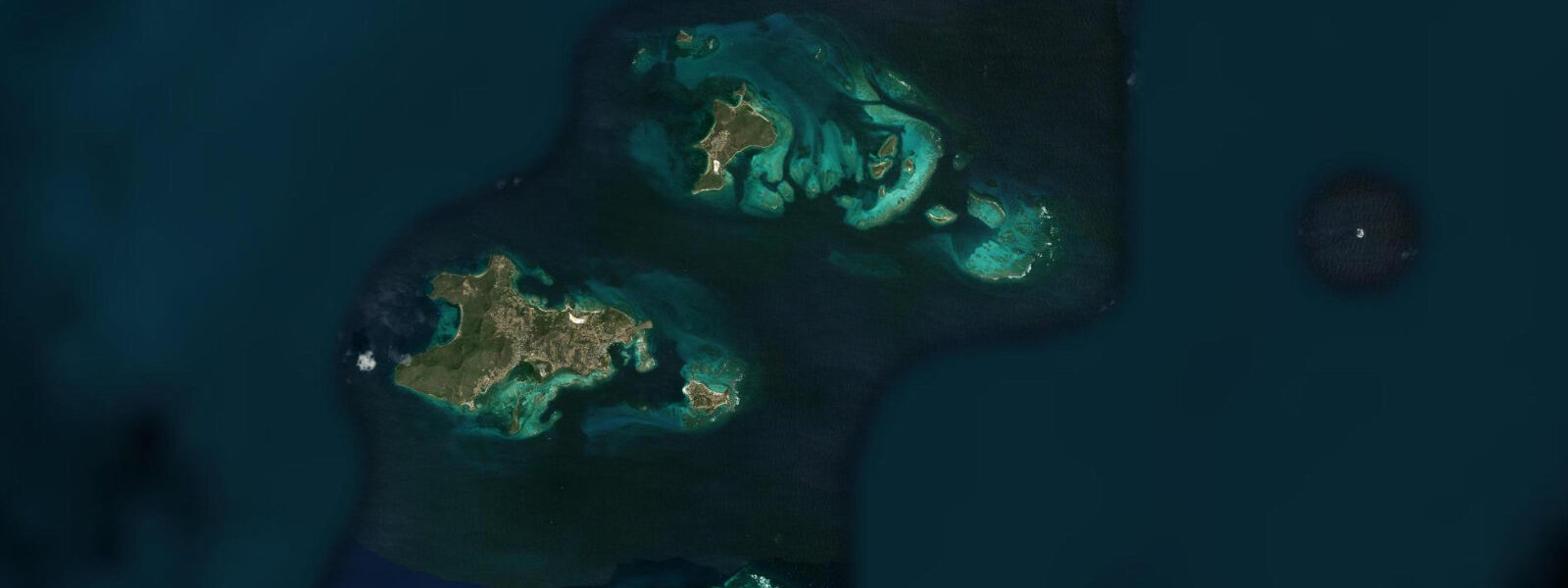
Other spots nearby
The three closest curated TideTurtle locations to Port Elizabeth, Bequia, measured by great-circle distance.
Today's solunar windows
Solunar tradition: major periods are the ≈3h windows around moon transit and opposition; minor are ≈2h around moonrise and moonset. Pair with the local tide stage and wind for the best read.
Cycle dates near Port Elizabeth, Bequia
Last spring tide on Fri 03 Jul (range 0.4m). Next spring tide on Thu 09 Jul (range 0.5m). Next neap on Wed 08 Jul.
Spring tides cluster around new and full moons (biggest swings). Neap tides land on quarter moons (smallest swings). See the spring tide and neap tide glossary entries for the why.
About tides at Port Elizabeth, Bequia
A short guide to the coastline at Port Elizabeth, Bequia — geography, sea state, and what the tide is actually doing under your feet.
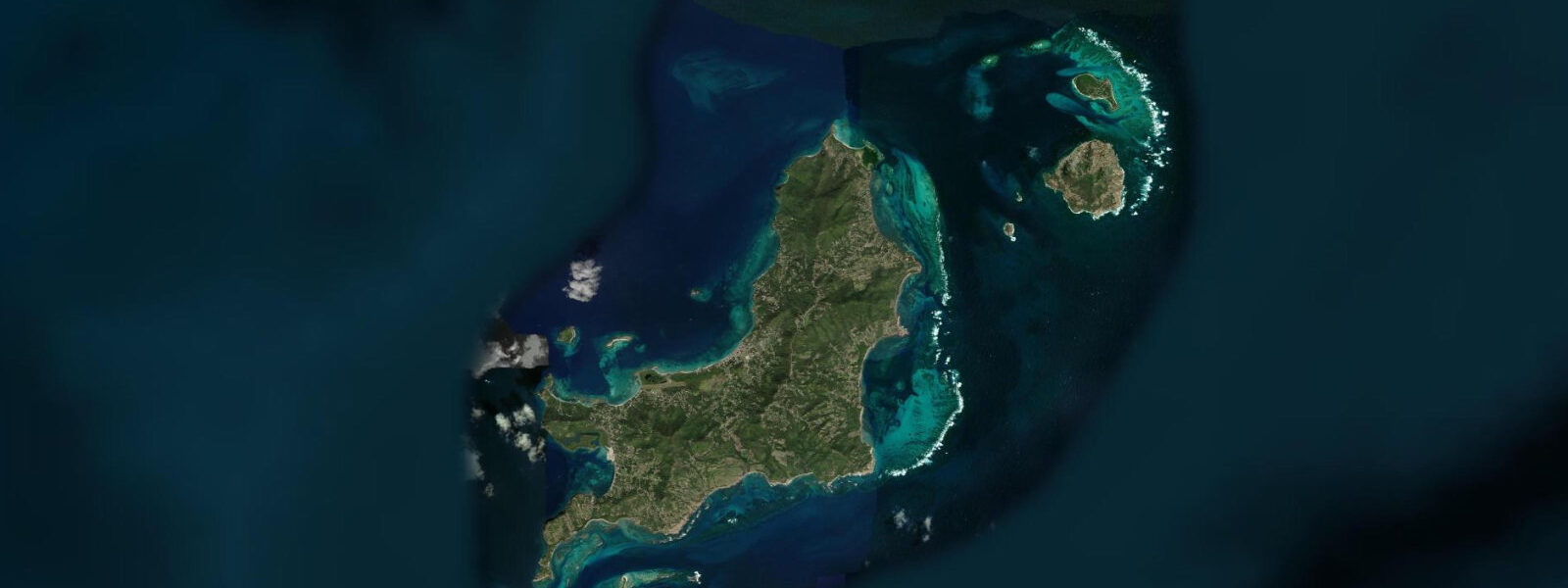
Port Elizabeth is the main settlement on Bequia, the largest of the Saint Vincent Grenadines islands, occupying the sheltered Admiralty Bay on the island's west coast. Admiralty Bay is one of the finest natural anchorages in the eastern Caribbean — deep enough for large keel boats, protected from the prevailing northeast trade wind by Bequia's northern headland, and open to the southwest for ventilation. The anchorage regularly holds 80 to 150 yachts through the main sailing season from December through May. Port Elizabeth's waterfront is oriented entirely toward the bay and the boats in it: the ferry dock, the water taxi jetty, the Frangipani Hotel's dock, the dive shops, the chandlery, and the beach bars along the shore.
The tidal regime at Port Elizabeth is Caribbean mixed semidiurnal, spring range 0.3 to 0.5 metres — microtidal. Admiralty Bay's sheltered configuration means the effective tidal range at the anchorage is at the lower end; there is no significant tidal current inside the bay. Two unequal high tides and two unequal low tides per day. The water depth in the anchorage ranges from 7 to 20 metres depending on position; the tidal range is negligible relative to the anchorage depth.
Bequia's character is defined by its working connection to the sea. The island maintains a small but active whaling tradition — one of the few indigenous subsistence whale hunts authorised under the International Whaling Commission's cultural exemption — which has operated from the Paget Farm fishing village on the south coast for at least 150 years. The quota is 4 humpback whales per year; the hunt typically occurs in February and March using traditional wooden boats and hand-thrown harpoons. This is a genuine cultural practice, not a commercial operation, but it is significant and sometimes controversial for visiting sailors and tourists.
The boat-building tradition at Bequia, particularly at the Model Boat Shop and the workshop at Friendship Bay, produces scale models of traditional schooners and sloops using the same techniques as the working boats — no CNC routing, hand-carved hulls from mahogany and cedar. The craft is specific to Bequia and represents a genuine continuation of a regional wooden boatbuilding tradition.
Swimming and snorkelling from Port Elizabeth waterfront is accessible at the southern end of the Belmont Walkway — the paved waterfront path running south from the ferry dock — where the water is clean and shallow reef structure begins within 50 metres of shore. Lower Bay and Princess Margaret Beach, both accessible by water taxi or by foot over the southern headland, have calmer and clearer conditions than the anchorage area.
For shore anglers, the reef structures on both sides of Admiralty Bay's entrance hold snapper, barracuda, and small pelagics at dawn on the flooding tide. The deep water outside the bay entrance is accessible by charter for offshore fishing; wahoo (kingfish) and mahi-mahi are the primary targets.
Tide predictions for Port Elizabeth come from Open-Meteo Marine, a global gridded ocean model. Accuracy is typically within plus or minus 45 minutes on timing and 0.2 to 0.3 metres on height.
Bequia's position on the Caribbean sailing circuit is that of a genuine waypoint rather than a tourist destination. The anchorage sees yachts from Europe, North America, and the Pacific in transit, stopping for provisions, repairs, and the socialising that characterises the international cruising community. The Bequia Boatyard at the southern end of Admiralty Bay provides haul-out facilities for vessels up to 90 feet; the haul-out crane and the repair workshop are a practical infrastructure for the cruising fleet. The island's chandlery and provisioning are proportional to the yacht traffic that passes through.
Tide questions about Port Elizabeth, Bequia
Quick answers to the most common questions about tide times, range, and water access at Port Elizabeth, Bequia.
What is the tide range at Port Elizabeth, Bequia?
Caribbean microtidal — mixed semidiurnal, spring range 0.3 to 0.5 metres. The sheltered Admiralty Bay configuration further dampens the tidal signal; the effective range at the anchorage is at the lower end of the band. At this range the tide is irrelevant for anchorage planning and beach access; Admiralty Bay's 7 to 20 metre depth means tidal range is negligible as a sailing variable. Two unequal highs and two unequal lows per day. Tide predictions come from Open-Meteo Marine — accuracy within plus or minus 45 minutes on timing and 0.2 to 0.3 metres on height.
How do I get to Bequia from Saint Vincent?
The standard route is the ferry from Kingstown. MV Bequia Express and similar operators run multiple daily crossings; the journey takes approximately 1 hour. The first morning ferry from Kingstown is typically around 09:00 to 10:00. Day trips from Kingstown to Bequia are practical — you can take the morning ferry, spend the day, and return on the late afternoon service. Mustique Air and others run small aircraft to Bequia's J.F. Mitchell Airport from Kingstown's ET Joshua Airport; the flight is 10 minutes. Sailing yachts from the north typically sail the Bequia Channel, a 15 to 20 kilometre passage from southern Saint Vincent with the northeast trade.
What is the best beach near Port Elizabeth?
Princess Margaret Beach is the closest high-quality swimming beach to Port Elizabeth, accessible by water taxi from the dock (5 minutes) or by foot over the headland south of the Belmont Walkway (15 minutes walking). The beach is a sheltered crescent of white sand with calm, clear Caribbean water and good snorkelling at the southern rocky end. Lower Bay, immediately south of Princess Margaret, is slightly larger and has a beach bar. Friendship Bay on the south coast is accessible by road and has consistently calm conditions; Spring Bay on the Atlantic north coast is more exposed but beautiful. Water taxis from the Port Elizabeth dock serve all beaches.
What is the Bequia whaling tradition?
Bequia maintains a small subsistence whale hunt authorised under the International Whaling Commission's cultural exemption for indigenous peoples. The hunt targets humpback whales from traditional open wooden boats using hand-thrown harpoons, in a method documented since the nineteenth century when Yankee whalers trained Bequian crews. The IWC quota is 4 humpback whales per year; the hunt is conducted from Paget Farm on the south coast, typically in February and March when humpbacks migrate north through the Grenadine channel. The hunt is managed by the Bequia Whaling Association. This is a genuine ongoing cultural practice, not a historical re-enactment.
Where can I snorkel near Port Elizabeth?
Three accessible options from Port Elizabeth: the south end of the Belmont Walkway where shallow reef structure begins 50 metres from shore (walk from the dock, enter at the rocky point south of the anchorage zone); Princess Margaret Beach's southern rocky end, accessible by water taxi, with better clarity than the anchorage; and the Moonhole area on the southwest tip of the island, accessible by water taxi from Port Elizabeth for a more remote reef. The snorkelling sites nearest Port Elizabeth are affected by anchorage traffic and the associated turbidity when the bay is full of boats. Spring months, when the anchorage is at maximum capacity, are busiest; summer is notably quieter.
7-day tide table — Port Elizabeth, Bequia
Heights relative to MSL. Predictions: Open-Meteo Marine (MeteoFrance SMOC, 0.08° grid) — heights relative to MSL (not chart datum / LAT). Model-derived.
| Day | Type | Time | Height |
|---|---|---|---|
| Sat 04 Jul | High | 04:42 | 0.4m |
| Low | 11:45 | -0.0m | |
| Sun 05 Jul | High | 05:15 | 0.3m |
| Low | 12:18 | -0.0m | |
| High | 18:50 | 0.3m | |
| Mon 06 Jul | Low | 12:50 | 0.0m |
| Tue 07 Jul | High | 20:06 | 0.4m |
| Wed 08 Jul | Low | 14:00 | 0.1m |
| High | 21:00 | 0.4m | |
| Thu 09 Jul | Low | 15:00 | 0.1m |
| High | 21:45 | 0.4m | |
| Fri 10 Jul | Low | 05:50 | -0.1m |
| High | 19:00 | 0.2m |