Kingstown, Saint Vincent tide times
Kingstown, Saint Vincent tide forecast — heights relative to MSL.
Today's tide times for Kingstown, Saint Vincent
Tide times at Kingstown, Saint Vincent on Saturday, 4 July 2026: first low tide at 11:45am. Sunrise 05:43am, sunset 06:35pm.
Tide chart for Kingstown, Saint Vincent
24-hour cosine-interpolated curve around the present moment. Heights relative to MSL. Predictions: Predictions: Open-Meteo Marine (MeteoFrance SMOC, 0.08° grid).
Sun, moon and conditions on Sat 04 Jul
Snapshot at build time — refreshes daily. Sea state from Open-Meteo Marine.
Highs and lows next 7 days
Every predicted high and low for the next week, with the daily tidal coefficient (0–120; higher = bigger swing, > 95 means stronger currents).
Other spots nearby
The three closest curated TideTurtle locations to Kingstown, Saint Vincent, measured by great-circle distance.
Today's solunar windows
Solunar tradition: major periods are the ≈3h windows around moon transit and opposition; minor are ≈2h around moonrise and moonset. Pair with the local tide stage and wind for the best read.
About tides at Kingstown, Saint Vincent
A short guide to the coastline at Kingstown, Saint Vincent — geography, sea state, and what the tide is actually doing under your feet.
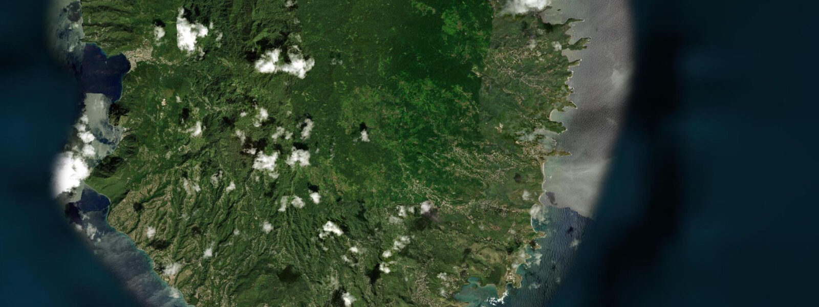
Kingstown is the capital of Saint Vincent and the Grenadines, a compact port city on the southwestern coast of Saint Vincent in a horseshoe-shaped natural harbour. The Carenage — the historic inner harbour — sits at the base of steep volcanic slopes, with the city built up the hillsides from the waterfront. The market, the St. George's Anglican Cathedral (established 1820), the Roman Catholic Cathedral of the Assumption with its colourful English-style stained glass, and the working Kingstown Port with its ferry connection to the Grenadines define the core of the town.
The tidal regime at Kingstown is Caribbean mixed semidiurnal, spring range 0.3 to 0.5 metres — microtidal. The southwest-facing harbour is sheltered from the northeast Atlantic trades by the Saint Vincent landmass. Two unequal high tides and two unequal low tides per day. The harbour has naturally calm water throughout the tidal cycle; the ferry dock and the fishing beach are accessible at all tide states. The harbour entrance is wide; tidal current through it is gentle even at spring tides.
The Grenadines ferry is the primary practical use of Kingstown's waterfront for visitors. MV Bequia Express and other operators run regular service from the Kingstown ferry terminal south to Bequia (1 hour), Mustique (3 hours), Canouan (4 hours), and Union Island (5 hours). The morning ferry is the main inter-island transport for residents and the starting point for most multi-island itineraries. The ferry schedule is the key logistical constraint for visiting the Grenadines.
The Botanic Gardens above the town, established in 1765, are among the oldest in the western hemisphere. A breadfruit tree descended from the original stock brought to Saint Vincent by Captain Bligh in 1793 after the mutiny on the Bounty grows in the garden; the breadfruit project was an attempt to establish a cheap food source for the enslaved population. The gardens have a collection of tropical species, a small aviary of Saint Vincent parrots (an endemic species with a restricted range), and views across the harbour from the upper terraces.
Fishing at Kingstown is centred on the working fish market at the lower end of the Carenage. Flying fish, dolphinfish (mahi-mahi), kingfish, and snapper are the primary species landed from the Vincentian pirogue fleet. The market is most active in the early morning from 06:00 to 09:00. Shore fishing from the harbour walls and the southern breakwater targets snapper and jacks on the incoming tide.
The most significant conservation event in recent Saint Vincent history was the April 2021 eruption of La Soufrière, which displaced approximately 20,000 people from the northern third of the island. The eruption deposited significant ash over the north and the coast remains affected in some areas. Kingstown, on the southwest coast, was not directly damaged but was affected by ash fallout. The exclusion zone around the volcano changes as activity is monitored; check the National Emergency Management Organisation for current status before planning visits to northern Saint Vincent.
Tide predictions for Kingstown come from Open-Meteo Marine, a global gridded ocean model. Accuracy is typically within plus or minus 45 minutes on timing and 0.2 to 0.3 metres on height.
The Old Public Library building on the Kingstown waterfront, a Carnegie-funded structure from 1909, is one of the more architecturally significant colonial buildings remaining on the island. The surrounding waterfront development has been gradual; the Carenage (the working inner harbour area) retains its functional character with the fishing fleet, ferry operations, and the inter-island cargo boats that connect Saint Vincent to the Grenadine islands. The Saturday morning market stretching from the Carenage to the public market building is the most commercially active part of Kingstown's week.
Tide questions about Kingstown, Saint Vincent
Quick answers to the most common questions about tide times, range, and water access at Kingstown, Saint Vincent.
What is the tide range at Kingstown, Saint Vincent?
Caribbean microtidal — mixed semidiurnal, spring range 0.3 to 0.5 metres. The southwest harbour faces the sheltered Caribbean side; two unequal highs and two unequal lows per day. At this range the tide is negligible for harbour navigation and ferry operations; the current through the harbour entrance is gentle at all tide states. Neap range compresses to around 0.2 metres. Tide predictions come from Open-Meteo Marine — accuracy within plus or minus 45 minutes on timing and 0.2 to 0.3 metres on height.
How do I take the ferry from Kingstown to Bequia and the Grenadines?
The Grenadines ferry operates from the Kingstown ferry terminal on the Lower Bay waterfront. MV Bequia Express and the larger MV Gem Star/MV Admiral Bay run daily service south. Bequia is 1 hour; Mustique, 3 hours; Canouan, 4 hours; Union Island, approximately 5 hours. The morning departure (typically 09:00 to 10:30 depending on operator) is the standard service for reaching Bequia for the day. Friday afternoon departures carry heavy volume as residents travel for the weekend. Advance booking is strongly recommended for travel on Vincy Mas carnival week in July. Check operator schedules directly as times change seasonally.
Is it safe to visit northern Saint Vincent near the volcano?
The exclusion zone around La Soufrière changes as volcanic activity is monitored by the University of the West Indies Seismic Research Centre (UWI-SRC). As of the latest monitoring in 2025, access to the northern zone — roughly north of Orange Hill — is restricted to guided scientific and safety assessments; independent tourist visits to the summit are not permitted. The volcano remains in an elevated alert state. Check the National Emergency Management Organisation (NEMO) Saint Vincent and the UWI-SRC website for current alert levels and zone boundaries before planning any trip to northern Saint Vincent.
What are the Kingstown Botanic Gardens?
The St. Vincent Botanic Gardens above Kingstown were established in 1765, making them among the oldest in the western hemisphere. The gardens hold a collection of tropical and subtropical species and are notable for a breadfruit tree descended from the original plants brought to Saint Vincent by Captain William Bligh in 1793, transported from Tahiti after the resolution of the Bounty mutiny. The trees were intended as a cheap food source for the enslaved plantation workforce. The gardens also house an aviary with Saint Vincent parrots, an endemic species with a restricted range in the island's interior rainforest. Opening hours are Monday through Friday; admission is free or a small charge applies depending on the year.
What is the best swimming beach near Kingstown?
The Villa Beach area, approximately 3 kilometres southeast of the capital past the airport, is the most accessible resort beach for Kingstown visitors. Young Island, a small private island directly offshore from the Villa Beach strip, is a notable feature; non-guests can take the water taxi from the Villa Beach dock for day access. The beach at Indian Bay, just south of Villa, has clearer water and a calmer character. Kingstown Harbour itself is a working port and not suitable for swimming. The beaches in the Grenadines — Bequia, Mustique, Tobago Cays — are considerably better than mainland Saint Vincent's beaches and are accessible by the regular ferry service.
7-day tide table — Kingstown, Saint Vincent
Heights relative to MSL. Predictions: Open-Meteo Marine (MeteoFrance SMOC, 0.08° grid) — heights relative to MSL (not chart datum / LAT). Model-derived.
| Day | Type | Time | Height |
|---|---|---|---|
| Sat 04 Jul | Low | 11:45 | -0.0m |
| Sun 05 Jul | High | 05:10 | 0.3m |
| Low | 12:06 | 0.0m | |
| High | 18:45 | 0.3m | |
| Mon 06 Jul | Low | 12:45 | 0.0m |
| Tue 07 Jul | High | 07:00 | 0.2m |
| Low | 13:00 | 0.1m | |
| Wed 08 Jul | High | 20:50 | 0.4m |
| Thu 09 Jul | — | ||
| Fri 10 Jul | Low | 06:00 | -0.1m |
| High | 19:00 | 0.3m | |