Vieux Fort tide times
Vieux Fort tide forecast — heights relative to MSL.
Today's tide times for Vieux Fort
Tide times at Vieux Fort on Saturday, 4 July 2026: first high tide at 04:45am, first low tide at 11:54am. Sunrise 05:40am, sunset 06:35pm.
Tide chart for Vieux Fort
24-hour cosine-interpolated curve around the present moment. Heights relative to MSL. Predictions: Predictions: Open-Meteo Marine (MeteoFrance SMOC, 0.08° grid).
Sun, moon and conditions on Sat 04 Jul
Snapshot at build time — refreshes daily. Sea state from Open-Meteo Marine.
Highs and lows next 7 days
Every predicted high and low for the next week, with the daily tidal coefficient (0–120; higher = bigger swing, > 95 means stronger currents).
Other spots nearby
The three closest curated TideTurtle locations to Vieux Fort, measured by great-circle distance.
Today's solunar windows
Solunar tradition: major periods are the ≈3h windows around moon transit and opposition; minor are ≈2h around moonrise and moonset. Pair with the local tide stage and wind for the best read.
About tides at Vieux Fort
A short guide to the coastline at Vieux Fort — geography, sea state, and what the tide is actually doing under your feet.
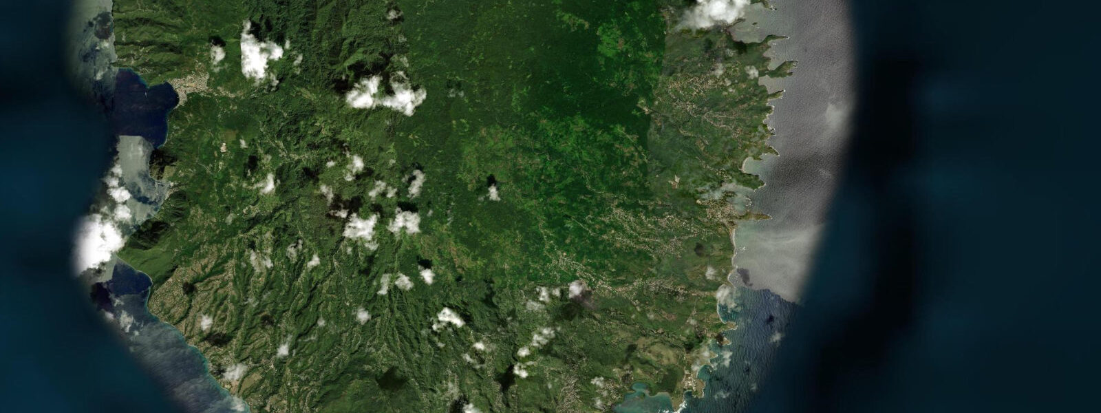
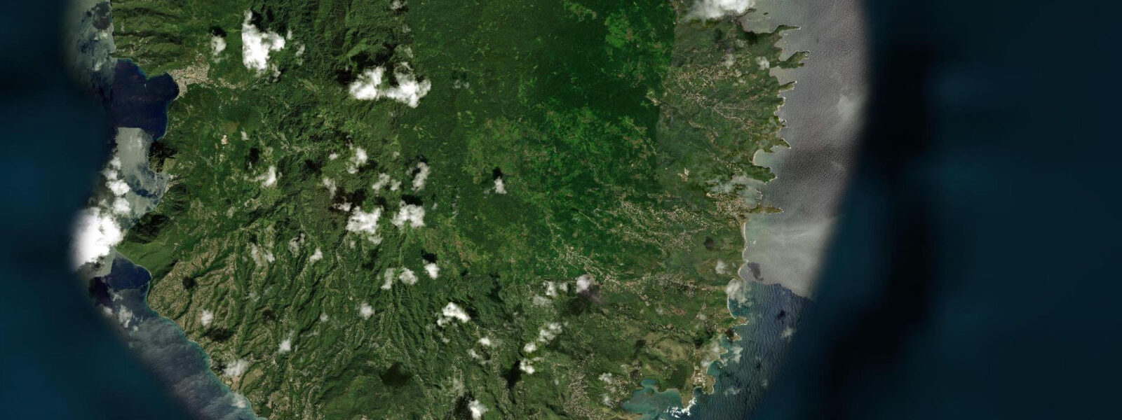
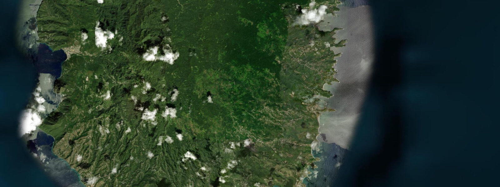
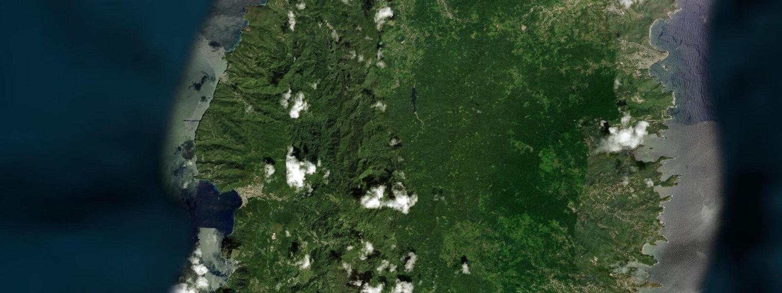
Vieux Fort is Saint Lucia's second-largest town, positioned on the flat coastal plain at the island's southern tip between the Atlantic-facing east coast and the Caribbean-facing west coast. Hewanorra International Airport, the island's main gateway for long-haul flights, occupies the flat land south of town, making Vieux Fort the arrival point for the majority of visitors to Saint Lucia even if they continue immediately north to Rodney Bay or Castries. 6 metres.
The Caribbean coast directly west of Vieux Fort is exposed to trade wind chop and occasional swell wrapping around the Moule à Chique headland; the Atlantic coast to the east faces into the open ocean. The convergence of these two bodies of water around Cape Moule à Chique, 2 kilometres south of the town, creates locally complex sea conditions — the colour change between the Atlantic's deeper blue and the shallower Caribbean green is sometimes visible on calm, clear days from the Cape or from the lighthouse at 272 metres. The Maria Islands Nature Reserve lies 300 metres offshore from the Vieux Fort beach, accessible by boat from the town jetty.
The reserve protects two species endemic to Saint Lucia: the Saint Lucia racer snake (Erythrolamprus ornatus) and the Saint Lucia whiptail lizard (Cnemidophorus vanzoi) — both found only on these two small islands and representing some of the rarest terrestrial fauna in the Caribbean. The reserve is managed by the Saint Lucia National Trust; guided boat tours operate from Vieux Fort. The reserve is closed from June through July to protect nesting tern colonies.
The beach at Vieux Fort town faces west into the Caribbean; it is a working beach that doubles as a local recreation space. Water quality at this beach is affected by the proximity of the town and the river outflow. The better beach option for swimming near Vieux Fort is Anse de Sables (Sandy Beach), a 400-metre Caribbean beach 2 kilometres east that faces south and is used by kite surfers — the same trade wind acceleration that makes Silver Sands in Barbados a kite destination applies here.
The Savannes Bay mangrove system is 5 kilometres northeast of Vieux Fort, accessible by road. Predictions on this page come from Open-Meteo Marine, a gridded global ocean model. 3 metres on height — model-derived, not from a local gauge.
The Saint Lucia Meteorological Service and the Caribbean Meteorological Organization are the regional authorities for sea-state and hydrometeorological data.
Tide questions about Vieux Fort
Quick answers to the most common questions about tide times, range, and water access at Vieux Fort.
Can I visit the Maria Islands Nature Reserve from Vieux Fort?
Yes. Guided boat tours to the Maria Islands depart from the Vieux Fort jetty, operated by the Saint Lucia National Trust. The crossing takes approximately 10 minutes. The islands are open to visitors from August through May; they close from June through July when tern colonies are nesting. The tour includes a guided walk on the larger island, Maria Major, where the Saint Lucia racer snake and whiptail lizard can usually be observed. Numbers are limited per visit to minimise disturbance. Book through the National Trust office in Castries or through Vieux Fort operators. A fee applies.
What is Anse de Sables beach like?
Anse de Sables (Sandy Beach) is a 400-metre south-facing Caribbean beach 2 kilometres east of Vieux Fort town, with consistent trade wind conditions that make it a kite surfing venue. The beach is backed by low scrub and has minimal commercial development. The sand is white and the water is warm and clear when wind chop is not stirring up the shallow sandy bottom. At the western end near the river mouth, water quality is affected by runoff; the eastern section is cleaner. The beach is used by locals and by kite students from the school that operates there. Non-kiting visitors can use the beach but should stay clear of the kite landing zones.
How far is Hewanorra Airport from Vieux Fort town?
The airport is approximately 3 kilometres south of Vieux Fort town centre — a 5 to 10 minute drive. The airport is directly on the coastal plain south of town; arrivals hall is on the ground floor of the terminal building. There is no direct rail or bus link from the airport; taxis operate from the arrival hall. The taxi journey from Hewanorra to Castries takes approximately 1.5 to 2 hours by the west coast road (around 80 kilometres); to Rodney Bay about 2 hours. Water taxi from Vieux Fort waterfront to Soufrière cuts the journey to those hotels to about 45 minutes.
What are the currents like around Cape Moule à Chique?
The Cape Moule à Chique headland is where the Atlantic and Caribbean water masses meet, and the currents around the point are complex and sometimes strong. Trade wind-driven currents set westward on the Atlantic side (north of the cape) and variable on the Caribbean side. When Atlantic swell is running, the wave interaction around the headland creates confused sea conditions in the passage between the cape and the Maria Islands. Boat operators know the cape's reputation and time their transits accordingly. Kayakers and paddleboarders should treat the cape area as an advanced open-water objective requiring full assessment of swell, wind, and current before committing.
Is Vieux Fort a good base for exploring southern Saint Lucia?
Practical for certain objectives and less practical for others. The airport proximity is useful for late arrivals or early departures. Savannes Bay mangrove and the Maria Islands are the immediate attractions. The drive to Soufrière and the Pitons takes 45 to 60 minutes via the east or west coast road. The town has basic accommodation and restaurants but no resort infrastructure. Most visitors who arrive at Hewanorra continue north to Rodney Bay (the main resort zone, 2 hours by road) or Soufrière (1 hour). A one-night stay in Vieux Fort to see the Maria Islands before heading north is a practical itinerary.
7-day tide table — Vieux Fort
Heights relative to MSL. Predictions: Open-Meteo Marine (MeteoFrance SMOC, 0.08° grid) — heights relative to MSL (not chart datum / LAT). Model-derived.
| Day | Type | Time | Height |
|---|---|---|---|
| Sat 04 Jul | High | 04:45 | 0.5m |
| Low | 11:54 | 0.1m | |
| Sun 05 Jul | High | 19:00 | 0.4m |
| Mon 06 Jul | Low | 13:00 | 0.1m |
| Tue 07 Jul | High | 20:10 | 0.5m |
| Wed 08 Jul | Low | 04:00 | 0.2m |
| High | 09:10 | 0.3m | |
| Low | 14:10 | 0.2m | |
| High | 21:00 | 0.5m | |
| Thu 09 Jul | Low | 05:00 | 0.1m |
| High | 21:50 | 0.5m | |
| Fri 10 Jul | Low | 06:10 | 0.0m |
| High | 19:00 | 0.3m |