Anse des Pitons tide times
Anse des Pitons tide forecast — heights relative to MSL.
Today's tide times for Anse des Pitons
Tide times at Anse des Pitons on Saturday, 4 July 2026: first high tide at 04:42am, first low tide at 11:54am. Sunrise 05:41am, sunset 06:36pm.
Tide chart for Anse des Pitons
24-hour cosine-interpolated curve around the present moment. Heights relative to MSL. Predictions: Predictions: Open-Meteo Marine (MeteoFrance SMOC, 0.08° grid).
Sun, moon and conditions on Sat 04 Jul
Snapshot at build time — refreshes daily. Sea state from Open-Meteo Marine.
Highs and lows next 7 days
Every predicted high and low for the next week, with the daily tidal coefficient (0–120; higher = bigger swing, > 95 means stronger currents).
Other spots nearby
The three closest curated TideTurtle locations to Anse des Pitons, measured by great-circle distance.
Today's solunar windows
Solunar tradition: major periods are the ≈3h windows around moon transit and opposition; minor are ≈2h around moonrise and moonset. Pair with the local tide stage and wind for the best read.
About tides at Anse des Pitons
A short guide to the coastline at Anse des Pitons — geography, sea state, and what the tide is actually doing under your feet.
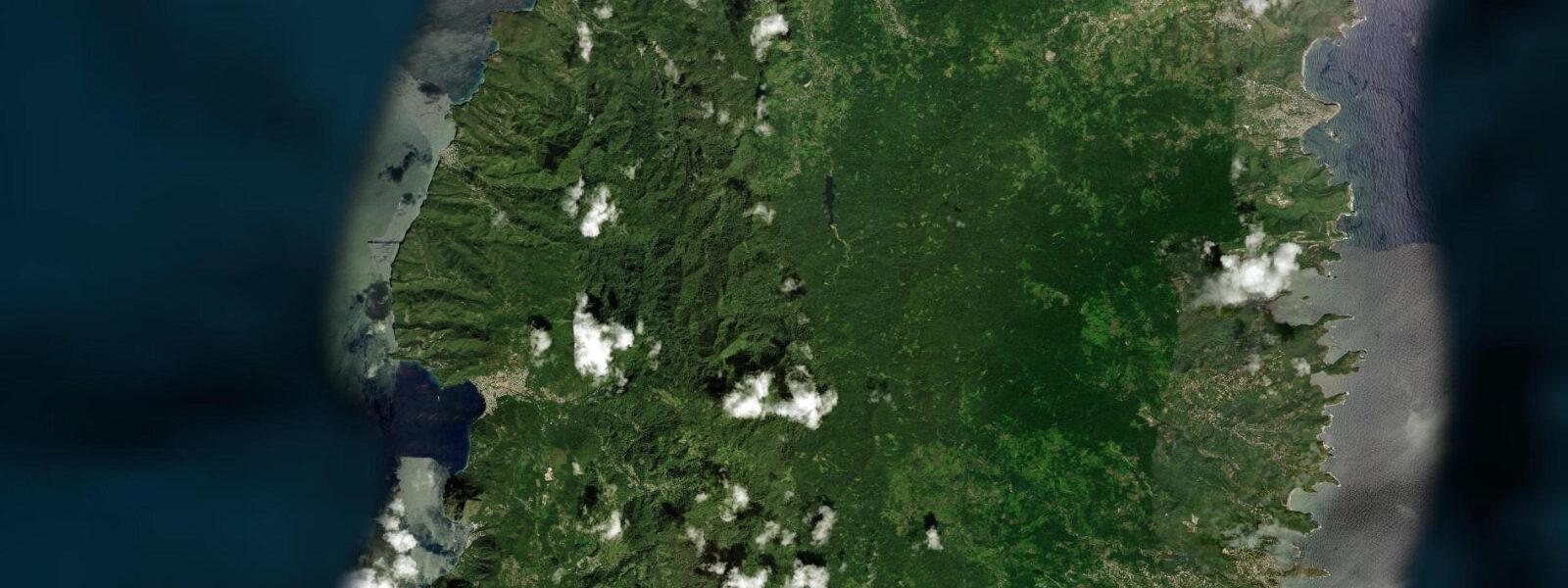
Anse des Pitons, also known as Val des Pitons, is the small cove tucked between the bases of Gros Piton and Petit Piton — the narrow floor of the bay at the foot of the most dramatic coastal scenery in Saint Lucia. The bay is accessible by boat from Soufrière (a 10-minute run) or by a steep trail from the main road, but there is no road access to the beach itself, and the absence of a beach carpark is the single most effective filter against mass tourism on one of the island's most spectacular beaches. The Jalousie Plantation, now the Sugar Beach resort, occupies the land between the two Pitons and operates the beach as a guest facility, but the beach remains publicly accessible.
The Piton walls define the space physically: Petit Piton's south face drops almost vertically into the Caribbean to the right of the bay, and Gros Piton's north face rises steeply from the left, with jungle covering the slope to the waterline. The cove faces due west, meaning the light on the Piton walls is at its best in the 2 hours before sunset, when the sun catches the green of the forest and the grey volcanic rock at a low angle. This is when the professional and travel photographers who work this location most frequently choose to shoot.
The water in the cove is clear to 15 metres depth over a sand and rubble bottom; the deeper sections along the Piton bases have coral structure — the same reef system that extends north to Anse Chastanet begins on the north face of Petit Piton and carries the same diversity. 5 metres spring — Caribbean microtidal. The cove is sheltered from trade wind chop by the Piton headlands on either side; on most days it is flat enough for stand-up paddleboarding from the beach.
Anchored yachts in the bay add to the visual scale — the masts at 15 to 20 metres look small against the Piton faces at 743 and 770 metres. The Piton UNESCO World Heritage designation covers both the peaks and their immediate marine environment; any dive or snorkel guide from Soufrière can reach the Piton base wall dives in 10 minutes. The Superman's Flight wall dive on the south side of Petit Piton is accessible from Anse des Pitons by boat.
Predictions on this page come from Open-Meteo Marine, a gridded global ocean model. 3 metres on height — model-derived, not from a local gauge. The Saint Lucia Meteorological Service and the Caribbean Meteorological Organization provide regional sea-state reference data.
Tide questions about Anse des Pitons
Quick answers to the most common questions about tide times, range, and water access at Anse des Pitons.
How do I get to Anse des Pitons?
By boat is the most straightforward option. Water taxis run from the Soufrière town dock and from Marigot Bay; the journey takes 10 to 15 minutes. Agree the return time and price before boarding. The Sugar Beach resort also operates a shuttle boat from Soufrière for its guests. By land: the resort can be reached by road via the Jalousie estate track — a steep, unpaved descent that requires a 4WD in wet weather — but there is no public carpark at the beach. A trail from the road above exists but is not maintained as a formal hiking route. Most independent visitors arrive by water taxi.
Is Anse des Pitons a public beach?
Yes. Under Saint Lucia law, all beaches are public to the high-water mark. The Sugar Beach resort (Viceroy Hotels) occupies the land behind the beach and provides beach chairs, umbrellas, and bar service for guests, but cannot exclude the public from the sand itself. Day visitors arriving by water taxi can access the beach; the resort's facilities require purchase of food or drink to use. The tone of the beach is resort-oriented and not the most relaxed setting for independent visitors — the adjacent Soufrière town beach or the Anse Chastanet resort are more welcoming options for non-guests.
What is the Superman's Flight dive site?
Superman's Flight is a wall dive on the south face of Petit Piton, accessible by boat from Soufrière or Anse Chastanet in approximately 10 minutes. The wall begins at 10 metres and drops vertically past 60 metres, with the Piton rock face continuing below the dive table limits. Coral coverage on the upper wall includes large wire coral, black coral fans, and encrusting sponge. The water column alongside the wall holds large barracuda, horse-eye jacks, and occasional Caribbean reef shark. The dive requires certification and experience with wall diving; the depth and current potential make it intermediate to advanced. All dive operators in Soufrière offer the site.
What is the best time of day to photograph Anse des Pitons?
The 90 minutes before sunset are optimal. The cove faces west, so the afternoon sun lights the Piton faces from the front and the sunset colours the cloud formations above the peaks. A boat position 300 to 500 metres offshore at the bay entrance gives the full composition: both Pitons framing the cove, with the beach and resort buildings at the base. The morning light catches the east faces of the Pitons and leaves the cove itself in shadow until mid-morning. Overcast days reduce contrast but eliminate harsh shadows and sometimes produce better colour in the forest canopy.
Can I kayak or paddleboard in Anse des Pitons?
Yes. The cove is sheltered by the Piton headlands and is flat enough for paddleboarding on the majority of days. The Sugar Beach resort rents kayaks and paddleboards to guests; independent visitors can bring their own or arrange rental from operators in Soufrière who will transport equipment by water taxi. The Piton walls accessed by paddling along the cliff base are extraordinary — looking up at 700 metres of rock from water level is a different experience than any viewpoint on land. Stay clear of anchored yachts' swing circles and watch for water taxi traffic in the main cove.
7-day tide table — Anse des Pitons
Heights relative to MSL. Predictions: Open-Meteo Marine (MeteoFrance SMOC, 0.08° grid) — heights relative to MSL (not chart datum / LAT). Model-derived.
| Day | Type | Time | Height |
|---|---|---|---|
| Sat 04 Jul | High | 04:42 | 0.5m |
| Low | 11:54 | 0.1m | |
| Sun 05 Jul | High | 05:10 | 0.4m |
| Mon 06 Jul | — | ||
| Tue 07 Jul | Low | 13:00 | 0.2m |
| High | 20:00 | 0.5m | |
| Wed 08 Jul | Low | 04:00 | 0.2m |
| Thu 09 Jul | High | 21:45 | 0.5m |
| Fri 10 Jul | Low | 06:00 | 0.0m |
| High | 19:00 | 0.3m | |