Savannes Bay tide times
Savannes Bay tide forecast — heights relative to MSL.
Today's tide times for Savannes Bay
Tide times at Savannes Bay on Saturday, 4 July 2026: first high tide at 04:45am, first low tide at 11:54am. Sunrise 05:40am, sunset 06:35pm.
Tide chart for Savannes Bay
24-hour cosine-interpolated curve around the present moment. Heights relative to MSL. Predictions: Predictions: Open-Meteo Marine (MeteoFrance SMOC, 0.08° grid).
Sun, moon and conditions on Sat 04 Jul
Snapshot at build time — refreshes daily. Sea state from Open-Meteo Marine.
Highs and lows next 7 days
Every predicted high and low for the next week, with the daily tidal coefficient (0–120; higher = bigger swing, > 95 means stronger currents).
Other spots nearby
The three closest curated TideTurtle locations to Savannes Bay, measured by great-circle distance.
Today's solunar windows
Solunar tradition: major periods are the ≈3h windows around moon transit and opposition; minor are ≈2h around moonrise and moonset. Pair with the local tide stage and wind for the best read.
About tides at Savannes Bay
A short guide to the coastline at Savannes Bay — geography, sea state, and what the tide is actually doing under your feet.
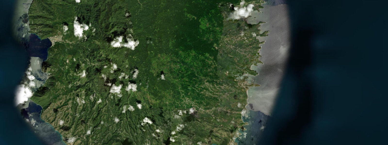
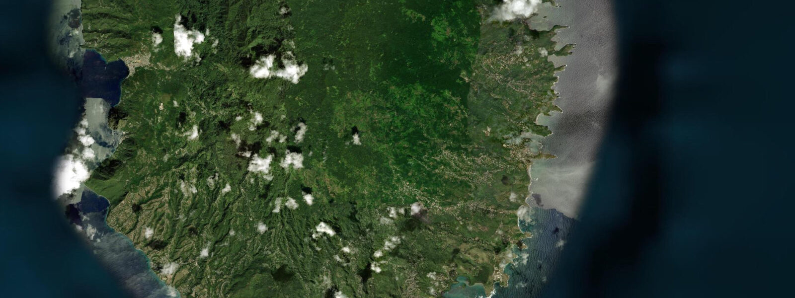
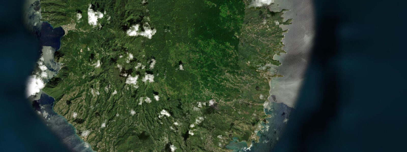
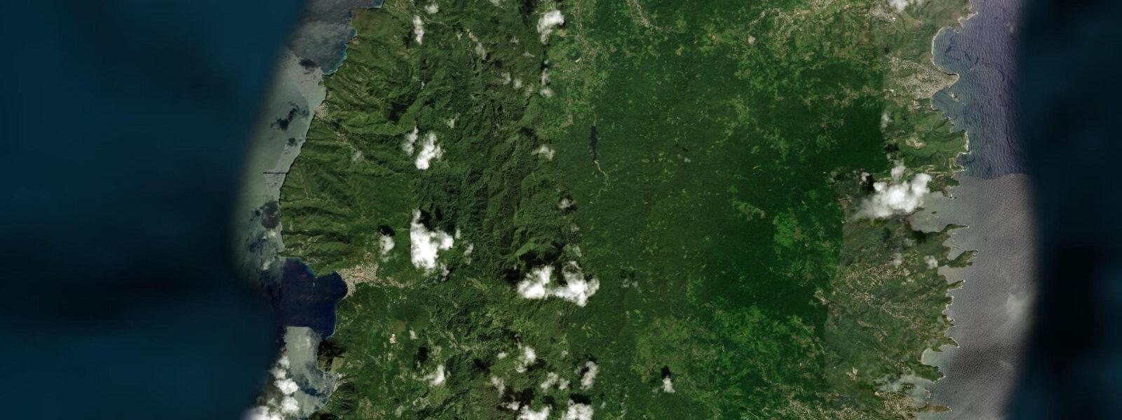
Savannes Bay is a sheltered coastal lagoon on the Atlantic-facing southeast coast of Saint Lucia, designated as a RAMSAR Convention Wetland of International Importance — the most significant and intact mangrove system remaining in Saint Lucia. The bay is enclosed by a narrow sand bar on the seaward side that separates the calm lagoon waters from the Atlantic; the entrance channel at the southern end of the bar allows tidal exchange that drives the ecological productivity of the system. 4 metres — small enough that the tidal flush is gentle rather than dramatic, but sufficient to renew the water chemistry in the inner lagoon on each tidal cycle.
The mangrove forest around the lagoon margin is primarily red mangrove (Rhizophora mangle), with black mangrove (Avicennia germinans) in the higher inter-tidal zones and white mangrove (Laguncularia racemosa) at the upper margins. The root systems — both the aerial prop roots of red mangrove and the pneumatophores of black mangrove that project from the mud — provide nursery habitat for juvenile fish, shrimp, and crab that later recruit to the offshore reef. The ecological connection between this mangrove system and the nearshore fisheries productivity of the Vieux Fort coast is well established.
Seagrass beds grow in the shallow lagoon floor — turtle grass (Thalassia testudinum) and manatee grass (Syringodium filiforme) — and these beds are feeding habitat for hawksbill turtles that are regularly seen in the lagoon. Green turtles also use the seagrass. Kayaking into the mangrove channels at Savannes Bay is the most rewarding way to experience the system.
The channels twist through the mangrove at water level, and the experience from a kayak — surrounded by root arches, with egrets and herons at eye level, frigate birds soaring above — is qualitatively different from any land-based approach. 3 metres at low water. Operators in Vieux Fort run guided kayak tours into Savannes Bay; the tour duration is typically 2 to 3 hours including the paddle, a guide explanation of the mangrove ecology, and time in the seagrass area looking for turtles.
Kingfishers, herons (great blue, tricoloured, yellow-crowned night-heron), and snowy egrets are reliable year-round. Frigatebirds roost in the mangrove canopy. Migratory shorebirds use the mudflats at the lagoon margins in September and October — semi-palmated sandpiper, least sandpiper, and short-billed dowitcher pass through in numbers.
Predictions on this page come from Open-Meteo Marine, a gridded global ocean model. 3 metres on height — model-derived, not from a local gauge. The Saint Lucia National Trust manages the RAMSAR site; the Saint Lucia Meteorological Service provides regional data.
Tide questions about Savannes Bay
Quick answers to the most common questions about tide times, range, and water access at Savannes Bay.
What is a RAMSAR site?
A RAMSAR site is a wetland designated under the Ramsar Convention on Wetlands of International Importance, a multilateral treaty signed in Ramsar, Iran in 1971. Designation recognises that the wetland meets criteria for international significance — typically based on the diversity and abundance of waterbirds, fish, or plant communities, or on the ecological functions the wetland provides such as flood regulation, water purification, and carbon storage. Savannes Bay is listed for its intact mangrove and seagrass communities and their support of regional fisheries productivity. The designation commits Saint Lucia to maintaining the ecological character of the site but does not exclude human use — guided kayaking and low-impact fishing are compatible with RAMSAR management.
Can I kayak in Savannes Bay independently?
The lagoon is accessible to independent kayakers who arrive with their own equipment; there is no permit required for recreational paddling. The practical challenge is access — the bay's road access is limited and there is no commercial kayak rental point at the bay itself. Operators in Vieux Fort provide guided tours with transport, equipment, and ecological interpretation. If paddling independently, enter on a rising tide from the southern channel entrance and carry a tide table for the day. The tidal range is small (approximately 0.4 metres) so the margin for getting stuck is tighter than in higher-range estuaries.
Are there turtles in Savannes Bay?
Hawksbill turtles are regularly observed feeding on the seagrass beds within the lagoon; green turtles are also present. The seagrass beds (turtle grass and manatee grass on the lagoon floor) are prime hawksbill foraging habitat — hawksbills are spongivores on the reef but graze seagrass in lagoon environments. The best turtle sightings are in calm conditions when the water is clear enough to see the lagoon floor from a kayak or from the sandbar. Nesting does not occur in the lagoon itself; hawksbills nest on nearby Atlantic beaches at night from June through October.
What birds can I see at Savannes Bay?
Resident species include great blue heron, tricoloured heron, yellow-crowned night-heron, snowy egret, and green heron in the mangrove margins. Magnificent frigatebirds roost in the mangrove canopy year-round. Belted kingfisher is a reliable year-round resident at the lagoon. From September through November, migratory shorebirds use the exposed mud flats: semi-palmated sandpiper, least sandpiper, and short-billed dowitcher pass through in numbers. White ibis occasionally visits. The lagoon and adjacent wetland is one of the better birdwatching sites in southern Saint Lucia and can be combined with the Maria Islands boat trip from Vieux Fort.
How does the tidal flush affect the lagoon ecosystem?
The tidal exchange through the narrow entrance channel at the south end of the sand bar renews the water in the inner lagoon on each tidal cycle — flushing out organic waste products, replenishing dissolved oxygen, and maintaining the salinity conditions that the mangrove and seagrass communities require. If the entrance channel were blocked, the inner lagoon would become hypersaline and hypoxic within days. The relatively small tidal range (0.4 metres spring) means the exchange volume per cycle is modest — this makes the system more vulnerable to blockage or sedimentation of the entrance channel than a high-range system would be. The Saint Lucia National Trust monitors the entrance channel as part of the RAMSAR management plan.
7-day tide table — Savannes Bay
Heights relative to MSL. Predictions: Open-Meteo Marine (MeteoFrance SMOC, 0.08° grid) — heights relative to MSL (not chart datum / LAT). Model-derived.
| Day | Type | Time | Height |
|---|---|---|---|
| Sat 04 Jul | High | 04:45 | 0.5m |
| Low | 11:54 | 0.1m | |
| Sun 05 Jul | High | 19:00 | 0.4m |
| Mon 06 Jul | Low | 13:00 | 0.1m |
| Tue 07 Jul | High | 20:10 | 0.5m |
| Wed 08 Jul | Low | 04:00 | 0.2m |
| High | 09:10 | 0.3m | |
| Low | 14:10 | 0.2m | |
| High | 21:00 | 0.5m | |
| Thu 09 Jul | Low | 05:00 | 0.1m |
| High | 21:50 | 0.5m | |
| Fri 10 Jul | Low | 06:10 | 0.0m |
| High | 19:00 | 0.3m |