Vama Veche tide times
Vama Veche tide forecast — heights relative to MSL.
Tide chart for Vama Veche
24-hour cosine-interpolated curve around the present moment. Heights relative to MSL. Predictions: Predictions: Open-Meteo Marine (MeteoFrance SMOC, 0.08° grid).
Sun, moon and conditions on Sat 04 Jul
Snapshot at build time — refreshes daily. Sea state from Open-Meteo Marine.
Highs and lows next 7 days
Every predicted high and low for the next week, with the daily tidal coefficient (0–120; higher = bigger swing, > 95 means stronger currents).
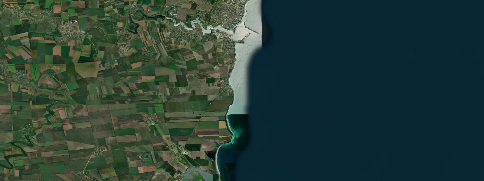
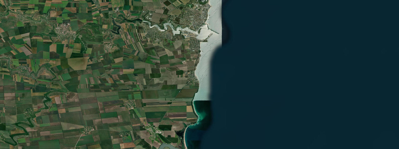
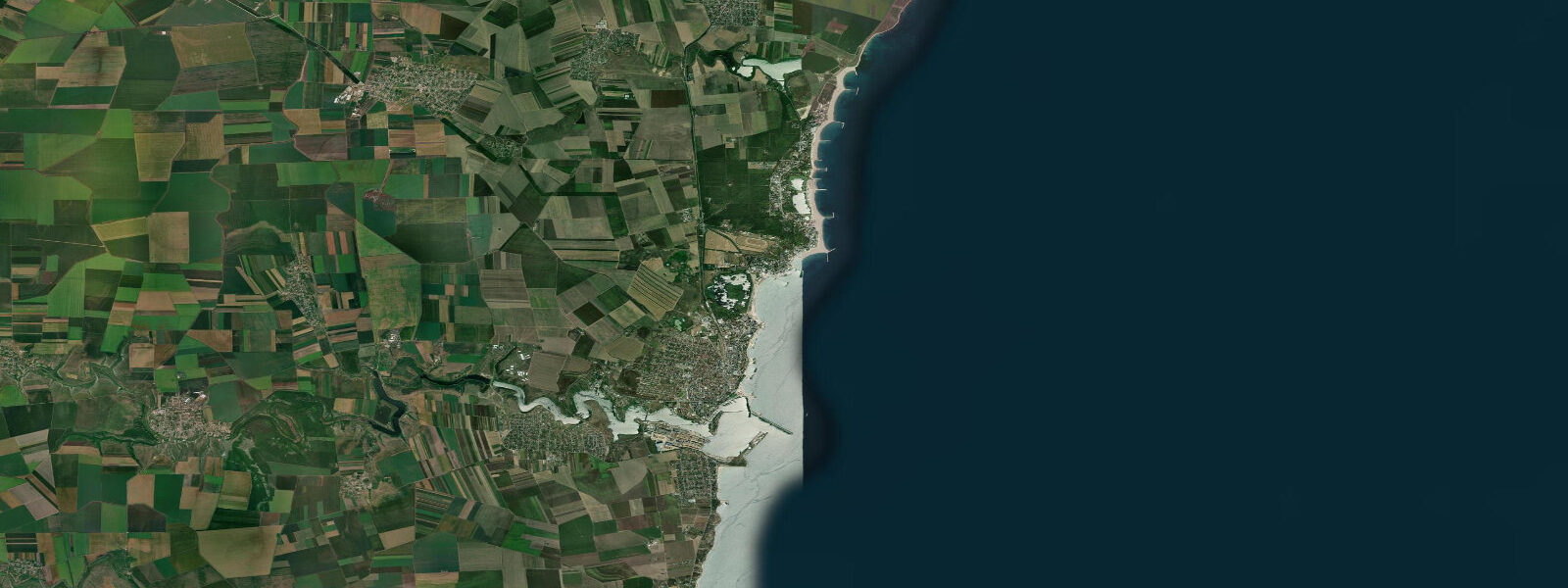
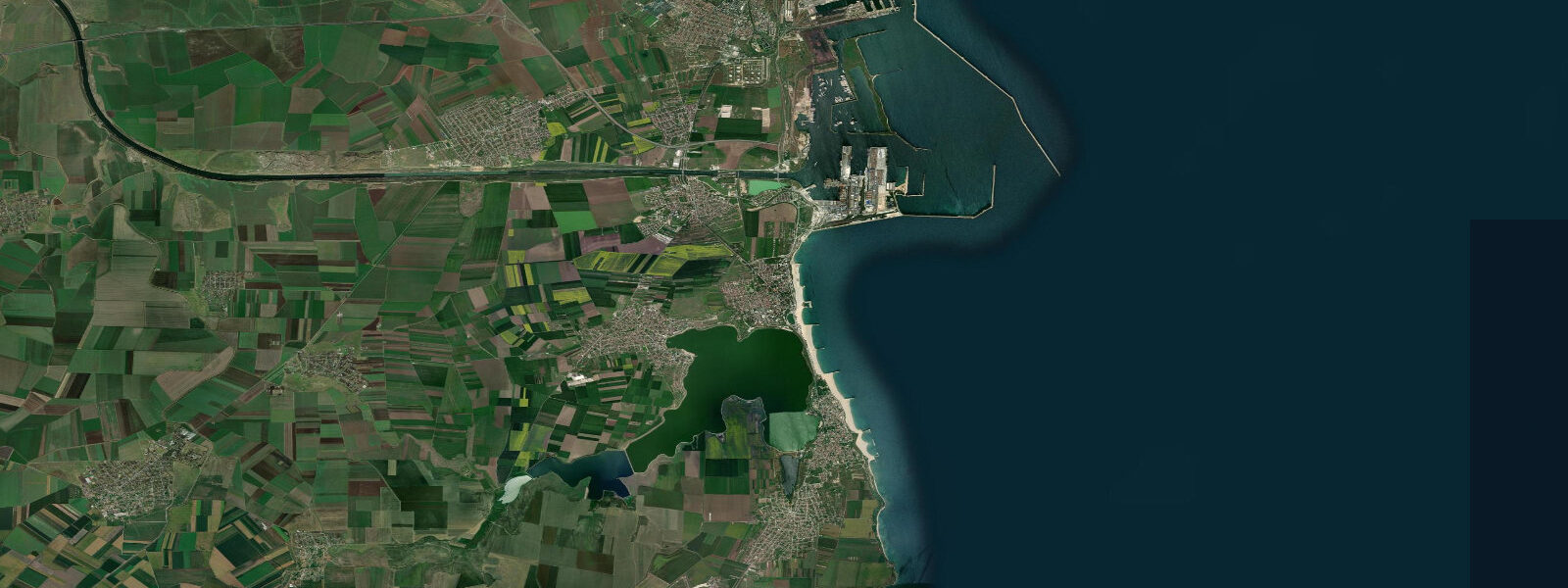
Other spots nearby
The three closest curated TideTurtle locations to Vama Veche, measured by great-circle distance.
Today's solunar windows
Solunar tradition: major periods are the ≈3h windows around moon transit and opposition; minor are ≈2h around moonrise and moonset. Pair with the local tide stage and wind for the best read.
About tides at Vama Veche
A short guide to the coastline at Vama Veche — geography, sea state, and what the tide is actually doing under your feet.
Vama Veche sits at Romania's southernmost point on the Black Sea, the village straddling a coastal spur against the Bulgarian border, the border itself marked by a fence that crosses the beach and enters the water 200 m north of the Bulgarian resort of Durankulak. The name means 'old customs post' — a reference to the border checkpoint that operated here under communism, when Vama Veche was the edge of the permitted world for Romanian citizens. It remains the edge of something, though the prohibition has been lifted: this is Romania's most consciously counter-cultural beach destination, a place that has made an identity out of not being Mamaia or Costinești.
The beach at Vama Veche is differentiated by its two sections. The northern end is sandy, relatively wide, and fronted by the permanent beach bars and the festival infrastructure that accumulates over summer. The southern end transitions to a rocky foreshore — limestone and shell-aggregate cobble, platform rock at low water — which is less populated and favoured by snorkellers on calm days. The rock platform at the southern tip, immediately adjacent to the border fence, holds sea bass, mullet, and black-goby populations in the crevices, and shore anglers work this stretch in the early morning before the summer crowds arrive.
The Black Sea at Vama Veche is microtidal: mean astronomical range 0.1 to 0.3 m. This is the characteristic of the entire enclosed Black Sea, which connects to the Mediterranean only through the narrow Turkish Straits. The tidal signal here is so small as to be effectively imperceptible to beach users. What controls water level is entirely meteorological: a sustained northerly wind pushes water down and away from the shore, lowering the waterline and exposing additional rock at the southern end; a sustained southerly reverses this and can increase wave run-up noticeably on the steep foreshore. The major water-level events — storm surges during autumn and winter Black Sea storms — produce changes of 0.5 to 1.0 m or more, entirely disconnected from the astronomical tide.
Vama Veche's summer season is compressed into July and August, when the beach fills with campers, festival-goers, and day-trippers from Constanța 50 km to the north. The famous 1 June festival (the unofficial start of the season here) and the August alternative music events draw a mix of Romanian and international visitors. Outside the peak season, the village is quiet — late May and September offer the clearest water, the lowest prices, and the best snorkelling on the rocky southern section.
The proximity of Vama Veche to the Bulgarian coastal reserves is ecologically relevant: Durankulak Lake immediately across the border is a Ramsar-listed wetland with significant bird populations on the Black Sea migration route. The coastal path south from Vama Veche to the border is walkable in calm conditions and provides views along the cliff-backed coastline.
Predictions on this page come from Open-Meteo Marine, a gridded global ocean model. At the 0.1 to 0.3 m astronomical range of the Romanian Black Sea coast, the model's typical accuracy (plus or minus 45 minutes on timing, 0.2 to 0.3 m on height) is comparable in magnitude to the total signal. For actual water-level planning, use the wind and weather forecast from ANM (Romanian Meteorological Administration).
Tide questions about Vama Veche
Quick answers to the most common questions about tide times, range, and water access at Vama Veche.
When is the next high tide at Vama Veche?
The hero block at the top of this page shows the next predicted high at Vama Veche in local Eastern European Time (EET/EEST, UTC+2/UTC+3). Astronomical tide range is 0.1 to 0.3 m — effectively invisible at beach level. Water-level conditions at Vama Veche are controlled by wind direction: northerlies lower the water and expose more of the southern rock platform; southerlies raise it slightly and push wave energy up the beach. The wind forecast from the Romanian Meteorological Administration (ANM) is the relevant input for planning.
What is the tidal range at Vama Veche?
Mean astronomical range is 0.1 to 0.3 m across the Romanian Black Sea coast, including Vama Veche. The Black Sea is effectively a closed basin with minimal tidal exchange through the Turkish Straits. Storm surges during Black Sea storms can produce water-level changes of 0.5 to 1.0 m — three to ten times the predicted tidal range — and these are the events that matter for beach and shoreline safety. Summer storm events are rarer but not unknown.
Where do these tide predictions come from?
Open-Meteo Marine, a free gridded global ocean model. For the Black Sea coast with its 0.1 to 0.3 m astronomical range, the model's typical uncertainty (plus or minus 45 minutes, 0.2 to 0.3 m) equals the full signal. The predictions are most useful as a background rhythm reference. For sea-level and storm-surge data, the Romanian Meteorological Administration (ANM) and the Direcția Hidrografică Maritimă are the authoritative sources. Constanța is the regional reference port for the Romanian Black Sea coast.
What are the snorkelling conditions at Vama Veche?
The rocky southern section of Vama Veche beach — limestone platform and cobble foreshore immediately north of the Bulgarian border fence — is the best snorkelling area. Water clarity is good by Romanian coast standards, as there are no major river inputs nearby (the Danube Delta is 150 km north). The rock platform holds sea bass, mullet, black goby, and various invertebrates. Calm conditions are required: the shallow rocky platform becomes uncomfortable in any swell from the northeast or east. Late May, early June, and September offer the clearest water and least crowded conditions. A mask and fins is all the kit needed.
Is this safe to use for navigation?
No. TideTurtle is a planning tool for recreational coastal activity, not a navigation resource. The border zone immediately south of Vama Veche has particular restrictions — maritime approaches to the Bulgarian border from the sea require awareness of both Romanian and Bulgarian maritime regulations. For authoritative Black Sea tidal and chart data, use the Direcția Hidrografică Maritimă for Romanian waters and the Bulgarian Hydrographic Service for the waters immediately across the border. Open-Meteo Marine gridded predictions do not replace authoritative sources for any vessel operation.
7-day tide table — Vama Veche
Heights relative to MSL. Predictions: Open-Meteo Marine (MeteoFrance SMOC, 0.08° grid) — heights relative to MSL (not chart datum / LAT). Model-derived.
| Day | Type | Time | Height |
|---|---|---|---|
| Sat 04 Jul | — | ||
| Sun 05 Jul | — | ||
| Mon 06 Jul | — | ||
| Tue 07 Jul | — | ||
| Wed 08 Jul | High | 22:00 | -0.4m |
| Thu 09 Jul | — | ||
| Fri 10 Jul | Low | 06:00 | -0.4m |