2 Mai tide times
2 Mai tide forecast — heights relative to MSL.
Tide chart for 2 Mai
24-hour cosine-interpolated curve around the present moment. Heights relative to MSL. Predictions: Predictions: Open-Meteo Marine (MeteoFrance SMOC, 0.08° grid).
Sun, moon and conditions on Sat 04 Jul
Snapshot at build time — refreshes daily. Sea state from Open-Meteo Marine.
Highs and lows next 7 days
Every predicted high and low for the next week, with the daily tidal coefficient (0–120; higher = bigger swing, > 95 means stronger currents).
Other spots nearby
The three closest curated TideTurtle locations to 2 Mai, measured by great-circle distance.
Today's solunar windows
Solunar tradition: major periods are the ≈3h windows around moon transit and opposition; minor are ≈2h around moonrise and moonset. Pair with the local tide stage and wind for the best read.
About tides at 2 Mai
A short guide to the coastline at 2 Mai — geography, sea state, and what the tide is actually doing under your feet.
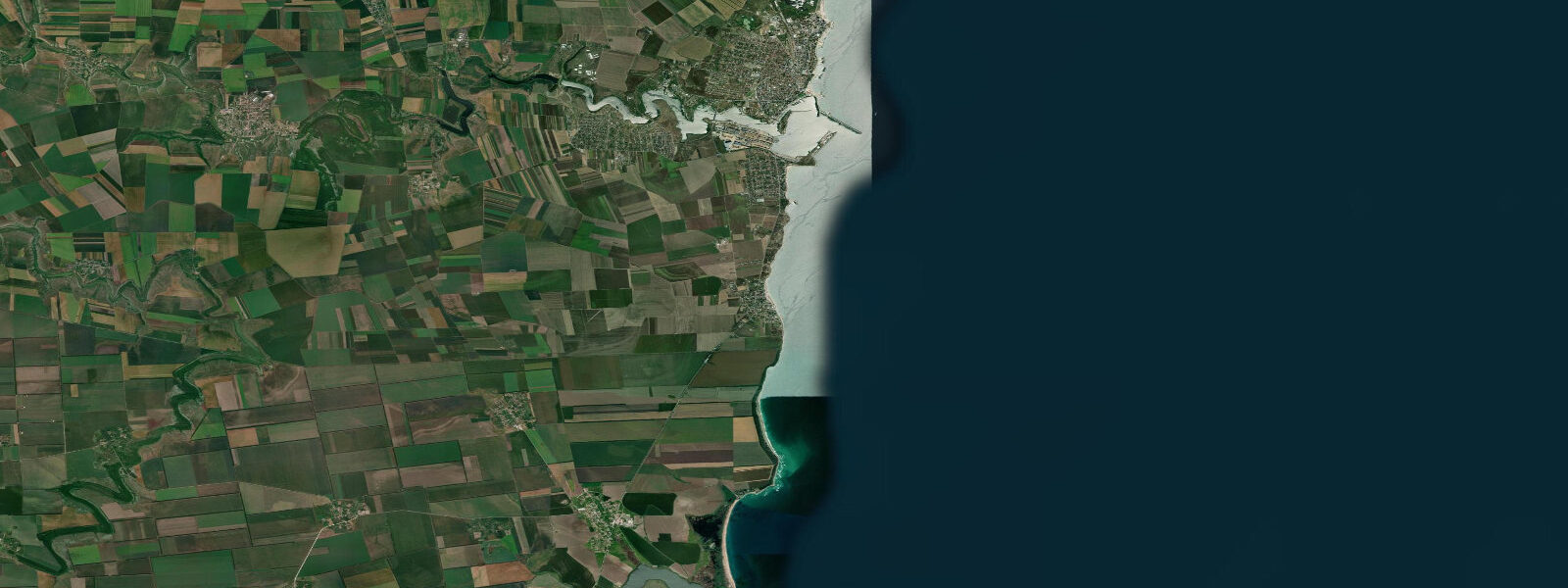
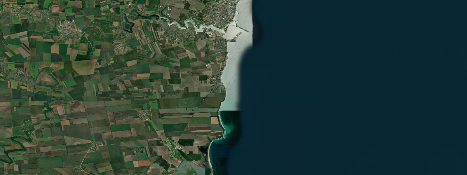
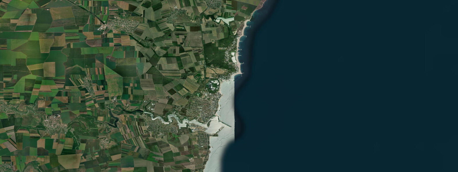
2 Mai is a small village on the southern Romanian Black Sea coast, a few kilometres north of Vama Veche and 5 km south of Limanu, that has maintained a distinctly uncommercial character in an era when the rest of the Romanian Riviera became industrialised with resort hotels. The name is a relic of a Communist-era holiday camp — the Second of May workers' resort — but what persists is something closer to an informal campsite village: artists, students, older Romanian intellectuals with family dachas, and the kind of low-key summer community that forms when a place stays deliberately undeveloped. There are no high-rise hotels. Accommodation is in private houses, small pensions, and tents on the dune edge.
The beach at 2 Mai is narrow and sandy, backed by low cliffs and eroding dune material. The foreshore is mixed — sand with scattered cobbles and shell aggregate — and the water is clear in calm weather given the absence of the river inputs that affect turbidity further north toward the Danube Delta. Sea temperature reaches 24 to 25°C in August, and the beach faces east-southeast into the open Black Sea, catching the morning light and the summer sea breeze from the north and northeast.
The Black Sea here is microtidal, as it is throughout the Romanian and Bulgarian coast. Mean astronomical range is 0.1 to 0.3 m. This effectively means there is no perceptible tide for beach use: the waterline position is set by wind and swell rather than by the lunar cycle. A northerly wind pushes the water level down, exposing a slightly wider beach; a southerly raises it slightly and increases wave run-up on the steep foreshore. The significant water-level events at 2 Mai are storm-driven, occurring mainly in autumn and winter when the beach is deserted.
Proximity to Vama Veche (2 km south on the coast path) makes 2 Mai part of the same coastal stretch that draws visitors interested in the original counter-culture character of this corner of Romania. Vama Veche on the Bulgarian border was, under communism, the one place where different rules applied — camping was tolerated, foreign radio was audible, behaviour was less scrutinised. The legacy is a continuing summer festival scene and a free-spirit identity that 2 Mai shares more quietly. The Danube Delta Biosphere Reserve, one of Europe's largest wetland systems, is accessible by day trip from Constanța or Tulcea to the north — a completely different coastal environment of reed channels, pelican colonies, and shifting river-mouth geography.
The rocky foreshore at the southern end of 2 Mai beach holds mullet, sea bass, and occasional bream accessible to shore anglers. The limited infrastructure means bait is brought in or gathered from the rocks. Snorkellers find the clearer water and rocky patches at the southern end worth exploring in calm conditions.
Predictions on this page come from Open-Meteo Marine, a gridded global ocean model. At the 0.1 to 0.3 m astronomical range of the Romanian Black Sea coast, the model's typical accuracy of plus or minus 45 minutes on timing and 0.2 to 0.3 m on height is comparable to the total signal. The predictions describe the background astronomical rhythm; the wind and weather forecast from ANM (Romanian Meteorological Administration) is the relevant input for actual water-level conditions.
Tide questions about 2 Mai
Quick answers to the most common questions about tide times, range, and water access at 2 Mai.
When is the next high tide at 2 Mai?
The hero block at the top of this page shows the next predicted high at 2 Mai in local Eastern European Time (EET/EEST, UTC+2/UTC+3). Astronomical tidal range here is 0.1 to 0.3 m — effectively imperceptible at the beach. The waterline position at 2 Mai is controlled by wind direction and strength: northerly winds push the water level down and widen the beach slightly; southerlies raise it. The wind forecast from the Romanian Meteorological Administration (ANM) is the more relevant planning input for water-level conditions.
What is the tidal range at 2 Mai?
Mean astronomical range is 0.1 to 0.3 m — the characteristic of the entire Romanian Black Sea coast. The Black Sea has negligible tidal exchange with the Mediterranean due to the narrow Turkish Straits connection. Wind-driven setup events during Black Sea storms can produce water-level changes 5 to 10 times larger than this. Summer conditions are generally calm; the dominant water-level signal on a typical summer day at 2 Mai is still the wind rather than the tide.
Where do these tide predictions come from?
Open-Meteo Marine, a free gridded global ocean model. For the Romanian Black Sea coast with its 0.1 to 0.3 m astronomical range, the model's typical uncertainty (plus or minus 45 minutes on timing, 0.2 to 0.3 m on height) equals or exceeds the total signal. The predictions are most useful as a background tidal rhythm reference. The Romanian Meteorological Administration (ANM) and the National Institute of Hydrology and Water Management (INHGA) are the authoritative sources for sea-level and surge data.
Why is 2 Mai considered a bohemian or alternative destination?
Under Romanian communism, the southern coast near the Bulgarian border was one of the few places where informal camping was tolerated and social norms were enforced less strictly than elsewhere in the country. After 1989, most of the Romanian Riviera developed rapidly into organised beach resorts; 2 Mai and Vama Veche to its south resisted that pattern. No major hotel chains operate here. Accommodation is in private houses and small pensions, and a significant portion of visitors camp. The community that returns each summer is disproportionately made up of artists, writers, and urban Romanians seeking an alternative to the organised resort strip. The character is quieter than Vama Veche, which has a more prominent nightlife scene.
Is this safe to use for navigation?
No. TideTurtle is a planning tool for recreational coastal activity, not a navigation resource. The Romanian Black Sea coast does not have major ports near 2 Mai, but the Constanța approaches and general coastal navigation require standard chart navigation. For authoritative Romanian Black Sea tidal and sea-level data, use the Direcția Hidrografică Maritimă charts and the tide tables for Constanța as the regional reference port. Open-Meteo Marine gridded predictions do not replace authoritative sources for any vessel operation.
8-day tide table — 2 Mai
Heights relative to MSL. Predictions: Open-Meteo Marine (MeteoFrance SMOC, 0.08° grid) — heights relative to MSL (not chart datum / LAT). Model-derived.
| Day | Type | Time | Height |
|---|---|---|---|
| Sat 04 Jul | — | ||
| Sun 05 Jul | — | ||
| Mon 06 Jul | — | ||
| Tue 07 Jul | — | ||
| Wed 08 Jul | — | ||
| Thu 09 Jul | — | ||
| Fri 10 Jul | High | 13:00 | -0.4m |
| Sat 11 Jul | Low | 02:00 | -0.4m |