Mangalia tide times
Mangalia tide forecast — heights relative to MSL.
Tide chart for Mangalia
24-hour cosine-interpolated curve around the present moment. Heights relative to MSL. Predictions: Predictions: Open-Meteo Marine (MeteoFrance SMOC, 0.08° grid).
Sun, moon and conditions on Sat 04 Jul
Snapshot at build time — refreshes daily. Sea state from Open-Meteo Marine.
Highs and lows next 7 days
Every predicted high and low for the next week, with the daily tidal coefficient (0–120; higher = bigger swing, > 95 means stronger currents).
Other spots nearby
The three closest curated TideTurtle locations to Mangalia, measured by great-circle distance.
Today's solunar windows
Solunar tradition: major periods are the ≈3h windows around moon transit and opposition; minor are ≈2h around moonrise and moonset. Pair with the local tide stage and wind for the best read.
About tides at Mangalia
A short guide to the coastline at Mangalia — geography, sea state, and what the tide is actually doing under your feet.
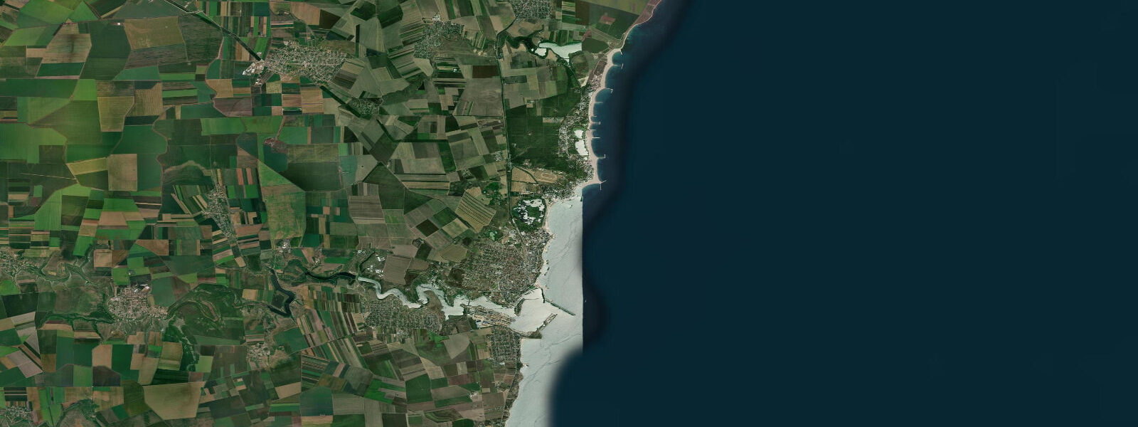
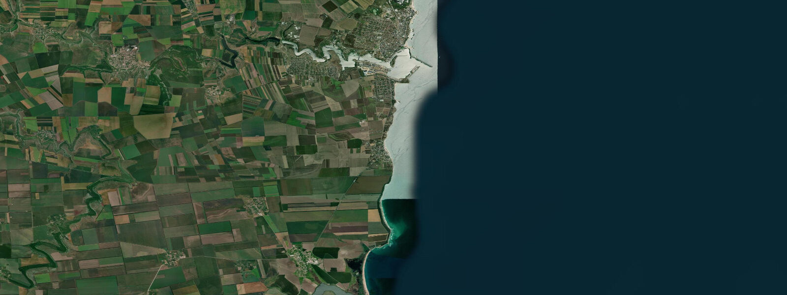
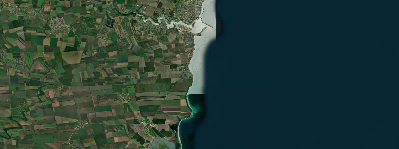
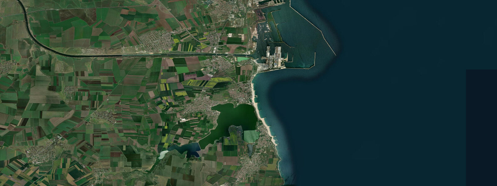
Mangalia sits at the southern tip of Romania's Black Sea coast, 8 km from the Bulgarian border, and carries more history per square kilometre than most Romanian cities twice its size. The ancient Greek city of Callatis was founded here in the 3rd century BCE by colonists from Herakleia Pontike, and the archaeological site — partly excavated in the park behind the seafront and partly still under the modern town — has yielded temples, necropolises, mosaic floors, and amphorae. The Callatis Museum in the town centre holds the best of what has been found. The southern wall of the ancient harbour mole is visible underwater on calm days from the rocks at the north end of the beach.
Mangalia Lake, a brackish lagoon separated from the sea by a narrow isthmus, sits immediately behind the beachfront. The lake drains partly into the sea and partly through the small channel at its northern end; water circulation is limited and the lake is calmer and warmer than the open sea throughout the summer season. The isthmus between lake and sea is where most of the resort hotels are concentrated. The thermal sulphurous water drawn from the geological layer beneath the town has underpinned a sanatorium and spa tradition since the 1930s — the water emerges at 22 to 24°C and is used in therapeutic baths at several hotels and at the dedicated treatment centre on the southern seafront.
The Black Sea at Mangalia is genuinely microtidal. Mean astronomical range is 0.1 to 0.3 m — one-tenth to one-fifteenth the range on the Belgian North Sea coast, and small enough that most visitors are unaware any tide is present. The Black Sea is nearly enclosed, connected to the Mediterranean only through the narrow Turkish Straits, and the tidal signal dissipates almost completely before reaching the Romanian and Bulgarian shores. What moves the water at Mangalia is wind. A sustained northerly can push the water level 0.5 m or more below the mean; a sustained southerly can add 0.5 m or more above it. Storm surges during the autumn and winter Black Sea storms regularly produce water-level changes 5 to 10 times larger than the entire astronomical tidal range. The predicted high and low on this page describe the astronomical component only — they are the background signal, not the dominant driver.
Summer sea conditions at Mangalia are generally calm, with light sea breezes and low swell. The beach here is sandy with a moderate gradient, and the water temperature reaches 24 to 26°C in July and August. Shore anglers cast from the rock groynes at the harbour and from the southern beach for mullet and sea bass; the feeding pattern is driven by wind and current rather than tide. Paddlers on the lake side find flat water and shelter from the sea swell.
Mangalia's position near the Bulgarian border makes the day trip to Balchik (40 km south) and the dramatic Cape Kaliakra (60 km south) feasible. The same coast road runs south to Vama Veche 6 km away — Romania's counter-culture beach village — and to the border crossing at Vama.
Predictions on this page come from Open-Meteo Marine, a gridded global ocean model. At the 0.1 to 0.3 m range of the Romanian Black Sea coast, the model's typical accuracy of plus or minus 45 minutes on timing and 0.2 to 0.3 m on height is comparable in magnitude to the entire astronomical signal. The predictions remain useful for understanding the tidal rhythm and identifying approximate high and low water times, but the wind forecast and the storm-surge bulletin from the Romanian Meteorological Administration (ANM) are the more relevant inputs for any coastal activity where precise water level matters.
Tide questions about Mangalia
Quick answers to the most common questions about tide times, range, and water access at Mangalia.
When is the next high tide at Mangalia?
The hero block at the top of this page shows the next predicted high at Mangalia in local Eastern European Time (EET/EEST, UTC+2/UTC+3). The astronomical tide range here is 0.1 to 0.3 m — among the smallest in Europe. What actually drives water-level change at Mangalia is wind: a sustained northerly can push the level 0.5 m or more below mean, a southerly can add an equivalent amount above. The predicted high and low describe the astronomical background; the wind forecast from ANM (Romanian Meteorological Administration) is the more useful planning input.
What is the tidal range at Mangalia?
Mean astronomical range at Mangalia is 0.1 to 0.3 m. The Black Sea is nearly enclosed, connected to the Mediterranean only through the Bosphorus and Dardanelles, and the tidal energy dissipates almost entirely before reaching the Romanian coast. During Black Sea storms, wind-driven water-level changes of 0.5 to 1.0 m are common — 3 to 10 times the entire predicted tidal range. The regime here is dominated by meteorology, not astronomy. Summer conditions are calmer, but even on quiet summer days a 2-3 Beaufort sea breeze can produce a detectable wind setup.
Where do these tide predictions come from?
Open-Meteo Marine, a free gridded global ocean model. At Mangalia's 0.1 to 0.3 m astronomical range, the model's typical accuracy (plus or minus 45 minutes on timing, 0.2 to 0.3 m on height) is comparable to the total signal — the tide predictions here carry more relative uncertainty than at high-range stations. The Romanian National Institute of Hydrology and Water Management (INHGA) and the Romanian Meteorological Administration (ANM) publish storm-surge bulletins for the Black Sea coast during adverse weather.
What are the Callatis ruins and where exactly are they?
Callatis was a Greek colony founded in the 3rd century BCE by colonists from Herakleia Pontike (modern Ereğli in Turkey). The main excavation site is in the park immediately behind the seafront promenade, with the visible remains including sections of the Hellenistic city wall, a necropolis, and mosaic floors under protective covers. The Callatis Museum (Muzeul de Arheologie Callatis) on Şoseaua Constantin Brâncuşi holds the best-preserved artefacts — amphorae, jewellery, coins, and votive objects spanning the Greek, Roman, and late-antique phases. The ancient harbour mole is submerged just offshore the northern beach; it is visible underwater on calm-water snorkel days.
Is this safe to use for navigation?
No. TideTurtle is a planning tool for recreational coastal activity, not a navigation resource. Mangalia has an active commercial port and naval base; approach channels and vessel traffic require standard chart navigation. For the Romanian Black Sea coast, use charts published by the Direcția Hidrografică Maritimă and the official tide tables for Constanța, which is the regional harmonic reference port. Open-Meteo Marine gridded predictions are not gauge-calibrated harmonic data and do not replace authoritative sources for any vessel operation.
8-day tide table — Mangalia
Heights relative to MSL. Predictions: Open-Meteo Marine (MeteoFrance SMOC, 0.08° grid) — heights relative to MSL (not chart datum / LAT). Model-derived.
| Day | Type | Time | Height |
|---|---|---|---|
| Sat 04 Jul | — | ||
| Sun 05 Jul | — | ||
| Mon 06 Jul | — | ||
| Tue 07 Jul | — | ||
| Wed 08 Jul | — | ||
| Thu 09 Jul | — | ||
| Fri 10 Jul | High | 13:00 | -0.4m |
| Sat 11 Jul | Low | 02:00 | -0.4m |