Doha tide times
Doha tide forecast — heights relative to MSL.
Today's tide times for Doha
Tide times at Doha on Saturday, 27 June 2026: first high tide at 03:00am, first low tide at 08:00am, second high tide at 03:46pm, second low tide at 11:00pm. Sunrise 04:45am, sunset 06:27pm.
Tide chart for Doha
24-hour cosine-interpolated curve around the present moment. Heights relative to MSL. Predictions: Predictions: Open-Meteo Marine (MeteoFrance SMOC, 0.08° grid).
Sun, moon and conditions on Sat 27 Jun
Snapshot at build time — refreshes daily. Sea state from Open-Meteo Marine.
Highs and lows next 7 days
Every predicted high and low for the next week, with the daily tidal coefficient (0–120; higher = bigger swing, > 95 means stronger currents).
Other spots nearby
The three closest curated TideTurtle locations to Doha, measured by great-circle distance.

Today's solunar windows
Solunar tradition: major periods are the ≈3h windows around moon transit and opposition; minor are ≈2h around moonrise and moonset. Pair with the local tide stage and wind for the best read.
Cycle dates near Doha
Next spring tide on Wed 01 Jul (range 1.5m). Last neap on Sat 27 Jun. Next neap on Fri 03 Jul.
Spring tides cluster around new and full moons (biggest swings). Neap tides land on quarter moons (smallest swings). See the spring tide and neap tide glossary entries for the why.
About tides at Doha
A short guide to the coastline at Doha — geography, sea state, and what the tide is actually doing under your feet.
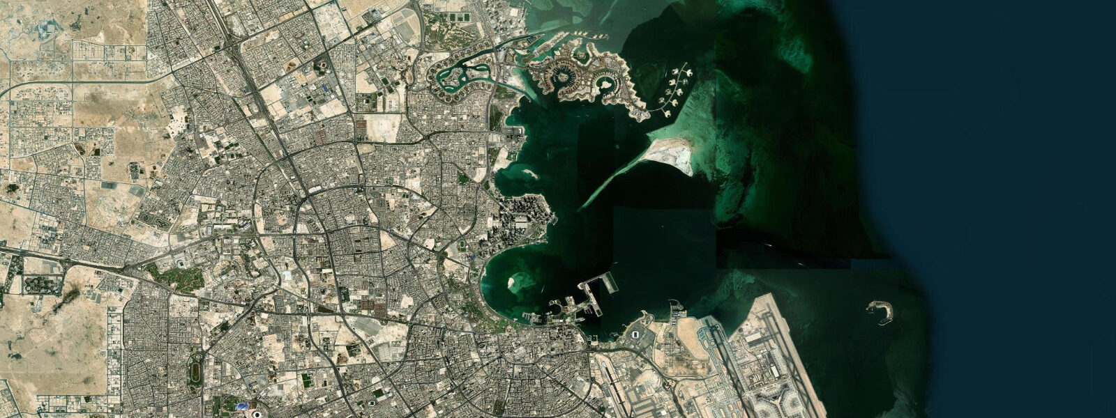
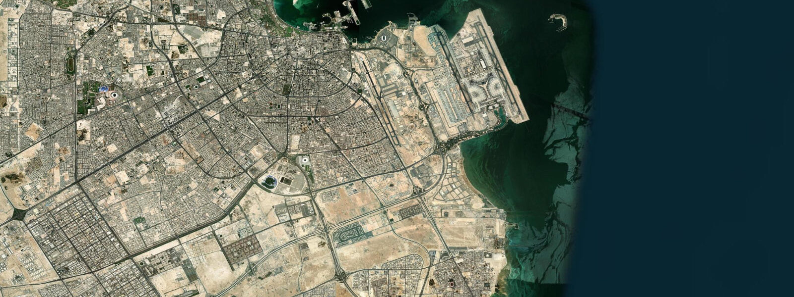
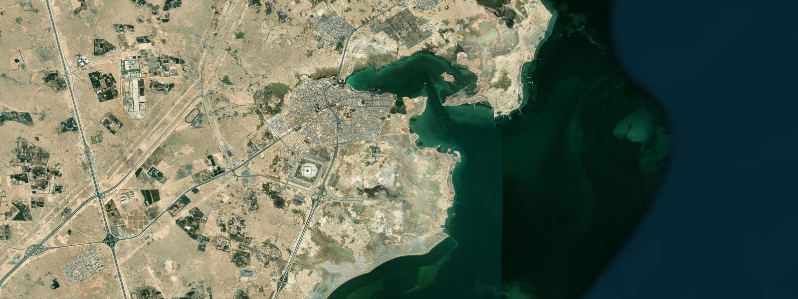
Doha is Qatar's capital and home to 90% of the country's population, built along the west shore of a shallow bay on the east coast of the Qatar peninsula. The Corniche — a 7-km curved seafront promenade — faces east across Doha Bay toward the horizon of the Arabian Gulf. Behind the Corniche, the high-rise towers of West Bay and the Museum of Islamic Art on its own island define a skyline that has been built largely since the 1990s. The old Souk Waqif and the dhow harbour (Al Mirqab) preserve the older character of a pearl-diving and trading city that predates the petroleum era.
The tidal regime in the Arabian Gulf at Doha is mixed semidiurnal: spring range 1.5–1.8 m, neap range 0.5–0.8 m. Doha Bay is extremely shallow — large portions of the bay floor are 1–3 m at mean water, with extensive intertidal flats that become exposed at spring low water. The tidal current within the bay runs at 0.3–0.7 knots during the ebb and flood phases. The diurnal inequality is pronounced: some days have one dominant tidal cycle (diurnal day), with the secondary tide's height reduced to a few centimetres above or below the main cycle's range.
For the dhow harbour at Al Mirqab, adjacent to Souk Waqif, the spring low water produces the harbour's most photogenic moment and its most operationally constrained. The inner harbour basin is in 1.5–2.5 m at mean water; at spring low water (approximately 0.0–0.2 m CD at Doha), the basin depth drops to 0.0–1.0 m in the shallowest sections and the traditional wooden dhows rest on the bottom. This is not accidental — Gulf dhows are built to sit on the bottom at low tide, and the periodic drying allows hull inspection and maintenance. Dhow-harbour photography at low spring tide, with the vessels grounded and the hull fastenings visible, is distinctively Gulf maritime.
For the Museum of Islamic Art, situated at the tip of its own breakwater promontory in Doha Bay, the tidal range affects the visual character of the approach. At high spring water, the bay around the museum appears fuller and the building seems to rise from open water. At low spring water, the shallow bottom around the approach causeway exposes sand and seagrass flats that reduce the maritime impression but reveal the bay's ecology. Photography of the museum facade from the Corniche is best in the early morning (east-facing) and captures the tidal character of the bay in the foreground.
For boaters and fishermen using Doha's marinas, the spring range of 1.5–1.8 m requires planning on approach to the several marinas along the Corniche and in West Bay. The West Bay Lagoon marina is in a dredged basin with 3.5–4.0 m of water; the approach channel through the bay to the marina is in 2.0–3.5 m. Vessels drawing over 1.5 m should arrive no earlier than 3 hours before high water on spring tides. The bay flats outside the dredged channels have charted depths of 0.5–1.5 m that become exposed or nearly so on spring lows — GPS chart plotters should display tidal correction.
For fishing, Doha Bay and the adjacent Gulf coast are productive for the same Arabian Gulf species as Kuwait: hamour (grouper), zubaidi (pomfret), and kingfish in season. The bay's intertidal flats are productive for bait collecting — ghost crabs and sand worms are available at low spring water. The commercial fish market (Central Market) near the dhow harbour opens early and is the best indicator of what is currently available from the Gulf.
All tide predictions for Doha come from the Open-Meteo Marine gridded model. Timing accuracy is ±45 minutes; height accuracy is ±0.3 m above Chart Datum. Given the very shallow Gulf bathymetry around Doha Bay, the model's gridded approach may underestimate local depth corrections in the bay interior.
Tide questions about Doha
Quick answers to the most common questions about tide times, range, and water access at Doha.
What is the tidal range at Doha and how does it affect navigation in Doha Bay?
Doha's Arabian Gulf spring tidal range is 1.5–1.8 m, mixed semidiurnal. The bay is extremely shallow — much of the floor is 1–3 m at mean water, with areas that become exposed or nearly so at spring low water. Vessels drawing over 1.5 m must use the dredged approach channels and plan arrival at marinas to coincide with the upper half of the tide. The West Bay marina approach channel is in 2.0–3.5 m; vessels drawing 1.5 m have minimal margin in the shallower sections at spring low water. GPS chart plotters should apply tidal correction to charted depths when navigating bay shallows. Tide predictions from Open-Meteo carry ±45 minutes and ±0.3 m uncertainty.
When are the dhows at Al Mirqab harbour grounded and is it accessible to visitors?
Al Mirqab dhow harbour, adjacent to Souk Waqif, is accessible to visitors year-round. Traditional wooden dhows in the harbour rest on the bottom at spring low water — the harbour basin drops to 0.0–1.0 m in its shallowest sections when the tide is near 0.0 m CD. This is normal Gulf practice; the soft muddy bottom provides a gentle grounding surface. Photography of the grounded dhows, with hull lines fully visible and workers using the low-tide window for maintenance, is best in the 2 hours around spring low water in the early morning (east-facing light). The dhow harbour runs boat-building and repair operations year-round; access to the working areas requires permission from the harbour authority.
What marine life is visible on Doha Bay's tidal flats?
Doha Bay's intertidal flats are a seagrass and sand-flat ecosystem. Exposed spring low water flats reveal seagrass beds (Halophila stipulacea and Halodule uninervis) that support dugong feeding — dugong are present in Qatar's coastal waters and tracked by the Qatar Ministry of Environment. Ghost crabs (Ocypode saratan) emerge on exposed sand at dusk and dawn on low tide. Wading shorebirds use the flats during migration (March–May, August–October). The flats are not generally accessible for wading due to their softness; observation from the Corniche promenade at the mid-bay section gives the best view of the low-water exposed areas.
When is the best time to photograph the Museum of Islamic Art from the Corniche?
The Museum of Islamic Art faces east and receives the best light from sunrise until approximately 09:30 when the sun moves overhead. The museum is on its own breakwater island at the southern end of the Corniche; it photographs cleanly from the Corniche promenade at 200–400 m distance. A low spring tide in the early morning produces the most dramatic foreground: the shallow seagrass flats of Doha Bay are exposed and visible in the middle distance, placing the museum against a complex tidal-flat foreground rather than open water. The contrast between the geometric I.M. Pei building and the organic tidal-flat ecology below it is the visual story unique to this location.
What fish species can anglers target from the Doha Corniche?
The Corniche promenade provides limited shore-fishing access; most effective Doha fishing is from a boat. From shore, mullet are accessible at the dhow harbour and at the seawall sections with bait; they respond to bread and small pieces of shrimp. Hamour (grouper) require boat access to the 8–15 m depth contour outside the bay. Zubaidi (silver pomfret) school in the bay shallows on the flood tide in summer and can be targeted by light spinning gear. The ebb current along the Corniche seawall creates a current line at the seawall base — the most productive shore-fishing window. The Central Market fish market near the harbour is the best source of current-season intelligence.
8-day tide table — Doha
Heights relative to MSL. Predictions: Open-Meteo Marine (MeteoFrance SMOC, 0.08° grid) — heights relative to MSL (not chart datum / LAT). Model-derived.
| Day | Type | Time | Height |
|---|---|---|---|
| Sat 27 Jun | High | 03:00 | 0.2m |
| Low | 08:00 | -0.2m | |
| High | 15:46 | 1.2m | |
| Low | 23:00 | 0.3m | |
| Sun 28 Jun | High | 01:45 | 0.4m |
| Low | 08:37 | -0.1m | |
| High | 16:13 | 1.3m | |
| Low | 23:40 | 0.3m | |
| Mon 29 Jun | High | 02:06 | 0.3m |
| Low | 08:54 | -0.1m | |
| High | 16:37 | 1.3m | |
| Tue 30 Jun | Low | 00:19 | 0.2m |
| High | 02:38 | 0.3m | |
| Low | 09:15 | -0.2m | |
| High | 17:06 | 1.2m | |
| Wed 01 Jul | Low | 00:54 | 0.1m |
| High | 03:21 | 0.2m | |
| Low | 09:40 | -0.2m | |
| High | 17:25 | 1.3m | |
| Thu 02 Jul | Low | 01:24 | 0.1m |
| High | 04:00 | 0.3m | |
| Low | 10:18 | -0.2m | |
| High | 17:54 | 1.3m | |
| Fri 03 Jul | Low | 02:00 | 0.1m |
| High | 04:42 | 0.2m | |
| Low | 10:40 | -0.2m | |
| High | 18:16 | 1.2m | |
| Sat 04 Jul | Low | 02:00 | 0.0m |