Sines tide times
Sines tide forecast — heights relative to MSL.
Today's tide times for Sines
Tide times at Sines on Friday, 19 June 2026: first low tide at 01:00, first high tide at 06:03, second low tide at 12:01, second high tide at 18:22. Sunrise 06:12, sunset 21:00.
Tide chart for Sines
24-hour cosine-interpolated curve around the present moment. Heights relative to MSL. Predictions: Predictions: Open-Meteo Marine (MeteoFrance SMOC, 0.08° grid).
Sun, moon and conditions on Fri 19 Jun
Snapshot at build time — refreshes daily. Sea state from Open-Meteo Marine.
Highs and lows next 7 days
Every predicted high and low for the next week, with the daily tidal coefficient (0–120; higher = bigger swing, > 95 means stronger currents).
Other spots nearby
The three closest curated TideTurtle locations to Sines, measured by great-circle distance.
Today's solunar windows
Solunar tradition: major periods are the ≈3h windows around moon transit and opposition; minor are ≈2h around moonrise and moonset. Pair with the local tide stage and wind for the best read.
Cycle dates near Sines
Last spring tide on Fri 19 Jun (range 2.6m). Next neap on Wed 24 Jun.
Spring tides cluster around new and full moons (biggest swings). Neap tides land on quarter moons (smallest swings). See the spring tide and neap tide glossary entries for the why.
About tides at Sines
A short guide to the coastline at Sines — geography, sea state, and what the tide is actually doing under your feet.
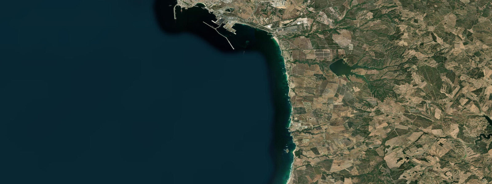
Sines is on the Alentejo coast of southwest Portugal, south of Setúbal on the long Atlantic-facing stretch of coast that runs from the Sado estuary to Cape São Vicente. The town is home to Portugal's largest industrial port complex — the LNG terminal, crude oil refinery, and container terminal make Sines one of the most important energy hubs in the Iberian Peninsula. But 5 kilometres north of the port, the coast reverts to pristine Atlantic: dunes, beach breaks, and the start of the Costa Vicentina protected coast. Tidal range is Atlantic: mean spring range around 3.0 metres.
Vasco da Gama was born in Sines in approximately 1469; the explorer who opened the sea route to India set out from a coastal town that still functions as a maritime hub. The Vasco da Gama Castle and museum on the headland above the town are the historical focal point; the harbour below was the original departure point for the Portuguese maritime expeditions.
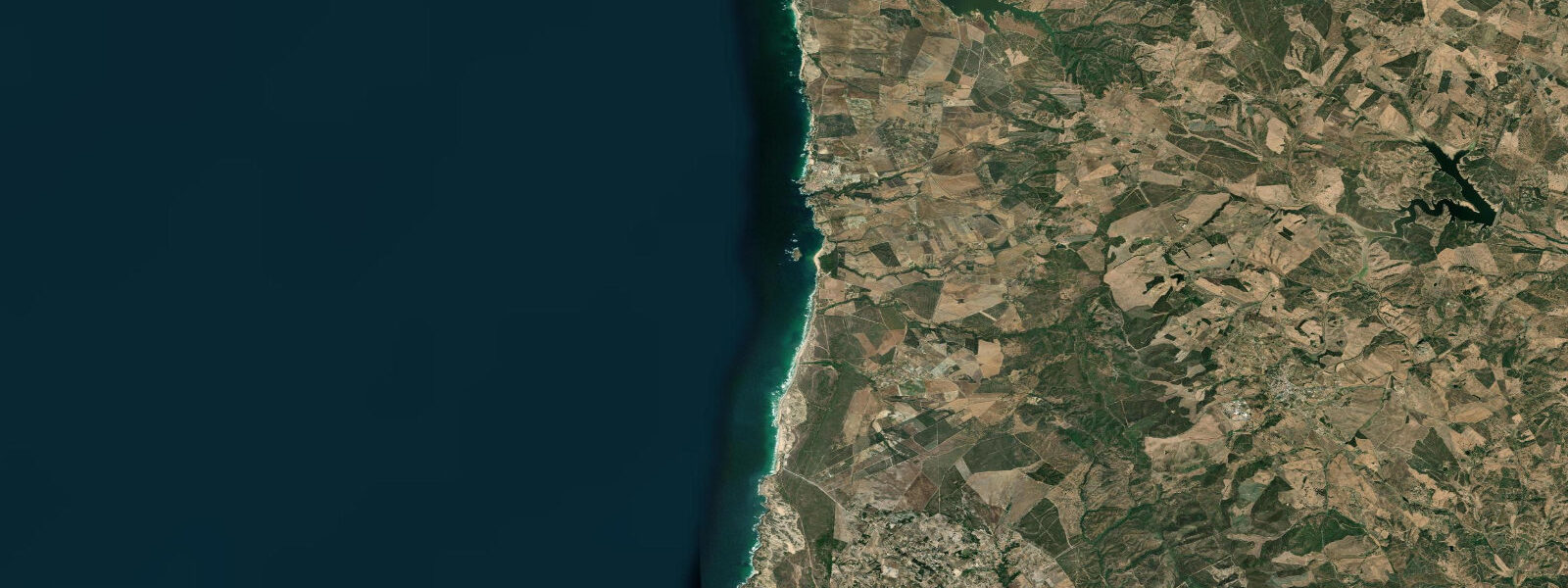
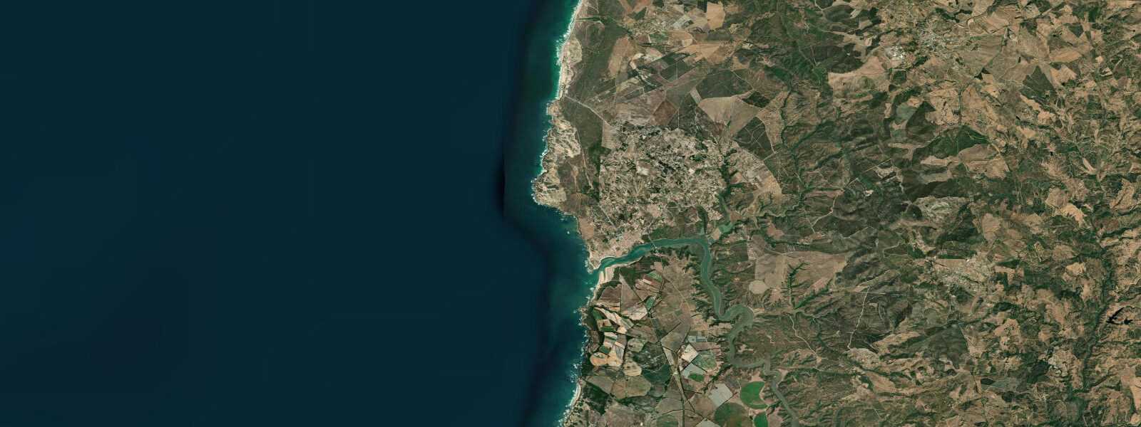
The beach at Porto Covo (14 km south) is the start of the Costa Vicentina — the southernmost major stretch of undeveloped Atlantic coast in Europe, running 120 km from Porto Covo to Cape São Vicente. The beach here is wide, exposed, and receives consistent northwest Atlantic groundswell. Surf quality is high on the Costa Vicentina coast — the beaches face directly into the dominant swell window without any island shadow or shoaling.
Fishing from the rocky Alentejo coast targets corbina (the Atlantic variant of the weakfish), sea bass, and sargo (white sea bream) from the rock ledges at low spring tide. The Alentejo coast has very few tourists relative to the Algarve south; the fishing spots are less pressured. The Costa Vicentina Natural Park prohibits commercial fishing in sections of the protected zone.
Birdwatching is exceptional on the Alentejo coast: the Cape Sines headland is a raptor migration watch point in autumn. White storks nest on the cliff tops and in town buildings; Bonelli's eagles hunt the coastal scrub. The dune slacks behind the beach at Porto Covo have chameleons (Chamaeleo chamaeleon, present at the northern limit of their range on the Portuguese coast).
Predictions on this page come from Open-Meteo Marine, a gridded global ocean model, cross-referenced with Instituto Hidrográfico predictions. For the most accurate Portuguese tide predictions, consult the Instituto Hidrográfico at hidrografico.pt.
Tide questions about Sines
Quick answers to the most common questions about tide times, range, and water access at Sines.
What is the tidal range at Sines?
Mean spring range at Sines is approximately 3.0 metres — substantial Atlantic macrotidal, similar to Cascais. The Costa Vicentina beaches at Porto Covo expose wide flat sand at low water and can be narrow at high spring tide. The rock ledges used for shore fishing are only accessible at low water and are submerged at high tide. The Atlantic northwest swell and the tidal range together produce the characteristic surf beach cycle on this coast.
What is the Costa Vicentina?
The Costa Vicentina (formally: Southwest Alentejo and Costa Vicentina Natural Park, PNSACV) is a 120 km stretch of protected Atlantic coast running from Porto Covo south to Cape São Vicente. It's the longest stretch of relatively undeveloped Atlantic coastline in continental Europe — no large hotel developments, limited road access, and strict construction regulations within the park. The area has consistent surf (the coast faces the dominant northwest Atlantic swell window), excellent fishing, and exceptional shorebird populations.
Who was Vasco da Gama?
Vasco da Gama (c. 1469–1524) was born in Sines and led the first European sea voyage to India in 1497–98, opening the direct maritime trade route from Europe to Asia around the Cape of Good Hope. The voyage broke the Ottoman and Venetian monopoly on Asian trade goods and marked the beginning of the Portuguese maritime empire. His birth castle is now the Museu de Sines; a statue of him stands above the harbour where he likely set sail on his early voyages.
Is there surf near Sines?
The beaches north and south of Sines on the Costa Vicentina receive consistent Atlantic groundswell. Porto Covo (14 km south) and São Torpes (5 km north, just outside the industrial port zone) are the two most accessible surf beaches near Sines. The northwest swell hits these beaches cleanly without island shadow; beach break quality is comparable to the better Algarve surf spots. Water temperature is 15 to 18°C year-round — a 4/3mm wetsuit is standard.
How do I get to Sines from Lisbon?
Bus from Lisbon's Sete Rios terminal to Sines takes about 2 hours (Rede Expressos service, 3 to 4 daily). By car from Lisbon: A2/A26 motorway to Sines, approximately 2 hours (180 km). Train service to Sines is limited — the station is served by regional trains from Setúbal (via Grândola) but the journey is slow. Car hire is the most practical option for exploring the Costa Vicentina coast beyond the Sines town area.
8-day tide table — Sines
Heights relative to MSL. Predictions: Open-Meteo Marine (MeteoFrance SMOC, 0.08° grid) — heights relative to MSL (not chart datum / LAT). Model-derived.
| Day | Type | Time | Height |
|---|---|---|---|
| Fri 19 Jun | Low | 01:00 | -1.6m |
| High | 06:03 | 0.7m | |
| Low | 12:01 | -1.5m | |
| High | 18:22 | 1.0m | |
| Sat 20 Jun | Low | 00:47 | -1.6m |
| High | 06:57 | 0.6m | |
| Low | 12:55 | -1.3m | |
| High | 19:15 | 0.8m | |
| Sun 21 Jun | Low | 01:43 | -1.4m |
| High | 07:55 | 0.4m | |
| Low | 13:52 | -1.2m | |
| High | 20:11 | 0.6m | |
| Mon 22 Jun | Low | 02:42 | -1.3m |
| High | 08:55 | 0.3m | |
| Low | 14:54 | -1.1m | |
| High | 21:14 | 0.4m | |
| Tue 23 Jun | Low | 03:40 | -1.2m |
| High | 09:58 | 0.3m | |
| Low | 16:02 | -1.0m | |
| High | 22:19 | 0.3m | |
| Wed 24 Jun | Low | 04:38 | -1.1m |
| High | 10:58 | 0.3m | |
| Low | 17:10 | -1.0m | |
| High | 23:20 | 0.3m | |
| Thu 25 Jun | Low | 05:34 | -1.1m |
| High | 11:54 | 0.4m | |
| Low | 18:07 | -1.0m | |
| Fri 26 Jun | High | 00:00 | 0.3m |