Ustka tide times
Ustka tide forecast — heights relative to MSL.
Today's tide times for Ustka
Tide times at Ustka on Saturday, 4 July 2026: first high tide at 05:50am. Sunrise 04:22am, sunset 09:30pm.
Tide chart for Ustka
24-hour cosine-interpolated curve around the present moment. Heights relative to MSL. Predictions: Predictions: Open-Meteo Marine (MeteoFrance SMOC, 0.08° grid).
Sun, moon and conditions on Sat 04 Jul
Snapshot at build time — refreshes daily. Sea state from Open-Meteo Marine.
Highs and lows next 7 days
Every predicted high and low for the next week, with the daily tidal coefficient (0–120; higher = bigger swing, > 95 means stronger currents).
Other spots nearby
The three closest curated TideTurtle locations to Ustka, measured by great-circle distance.
Today's solunar windows
Solunar tradition: major periods are the ≈3h windows around moon transit and opposition; minor are ≈2h around moonrise and moonset. Pair with the local tide stage and wind for the best read.
About tides at Ustka
A short guide to the coastline at Ustka — geography, sea state, and what the tide is actually doing under your feet.
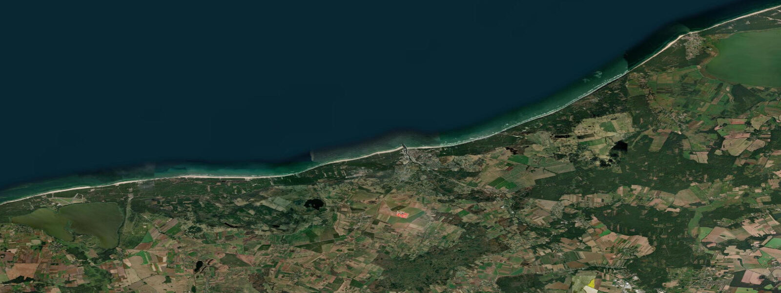
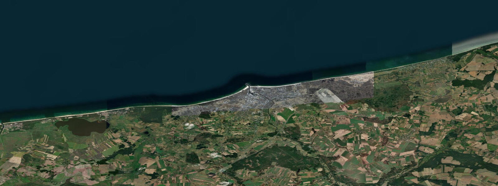
Ustka sits on the Pomeranian Baltic coast at the mouth of the Słupia River, 120 km west of the Hel Peninsula and 15 km north of Słupsk, the regional capital. Its German name, Stolpmünde (mouth of the Stolpe, the German name for the Słupia), was in use until 1945; the current name is the Polish equivalent. The town is a genuine fishing port — not simply a fishing-themed tourist destination but an active community where the daily catch from the Baltic is processed, smoked, and sold from wooden stalls along the harbourfront.
Smoked fish is the Ustka food experience worth seeking out: Baltic sprat (szprot), herring (śledź), and smoked flounder (flądra) are prepared in the traditional smokehouses on the harbour's eastern bank and sold from market stalls at the pier entrance. The fish market runs morning through early afternoon on days when the weather allowed the fleet to go out; the smell of wood smoke from the smoking chambers is the characteristic Ustka experience for anyone approaching from the main road bridge.
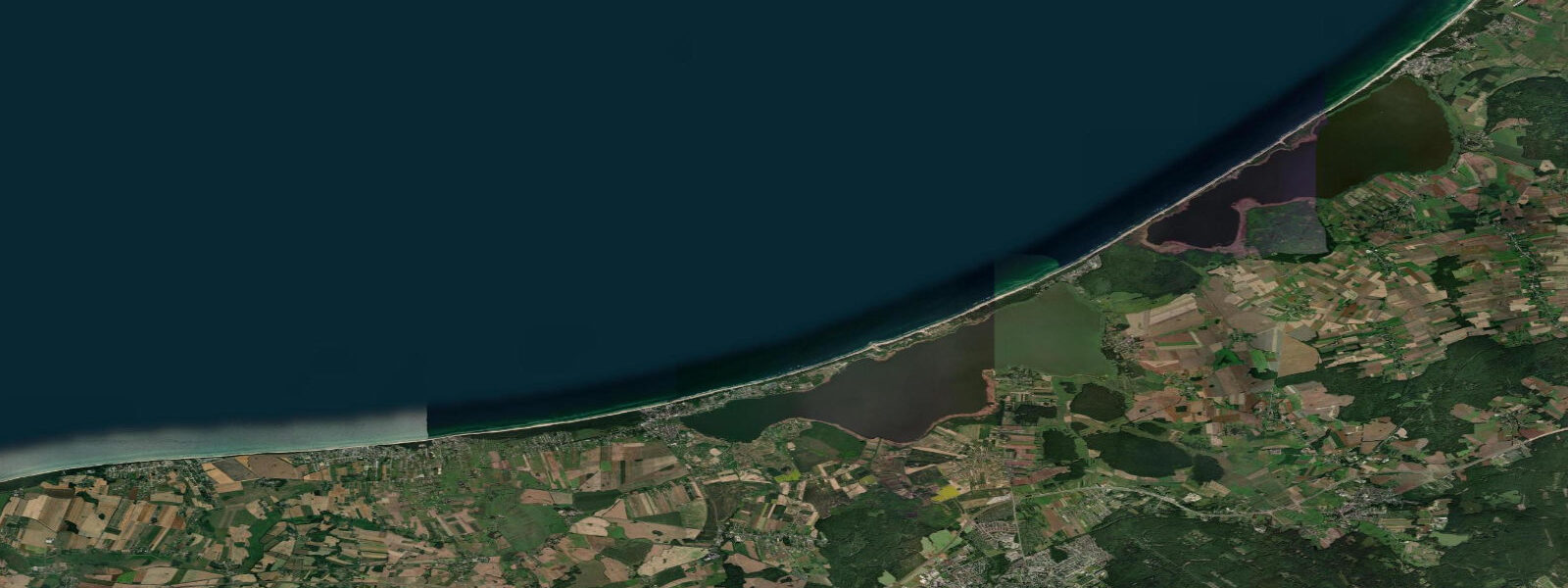
The beach at Ustka extends east and west of the river mouth, the wide sandy foreshore typical of the southern Baltic coast backed by low dunes and then pine forest. The western beach is broader and longer, stretching toward the Słowiński National Park 15 km west; the eastern beach is shorter and closer to the harbour approach channel, where the green and red buoys mark the navigable channel and the sandy bar at the river mouth shifts after storms. The pier on the eastern bank of the river entrance is a promenade and occasional fishing platform; the pier on the western bank is shorter and marks the edge of the channel.
Słowiński National Park (Słowiński Park Narodowy), 15 km west of Ustka, is one of Poland's more unusual protected areas: a coastal landscape of moving sand dunes up to 30 m high that migrate northeast at rates of 5 to 10 m per year, burying forest and exposing the remnants of previous dune-covered terrain. The dunes between Łeba and the park boundary move visibly over years, and the dead tree trunks exposed by receding dune slopes are one of the park's distinctive visual features.
The Baltic tidal regime at Ustka is semidiurnal with a spring range of 0.3 to 0.5 m. Wind-driven surge events during Baltic autumn and winter storms are the dominant water-level driver; the river discharge from the Słupia also affects harbour and nearshore conditions after heavy inland rainfall. Predictions on this page come from Open-Meteo Marine gridded model. IMGW-PIB publishes the authoritative tide tables for the Polish Baltic coast; the Ustka gauge provides local sea-level data.
Tide questions about Ustka
Quick answers to the most common questions about tide times, range, and water access at Ustka.
When is the next high tide at Ustka?
The hero block at the top of this page shows the next predicted high at Ustka in local Central European Time (CET/CEST, UTC+1/UTC+2). Ustka has a Baltic semidiurnal tide with a spring range of 0.3 to 0.5 m. Wind-driven surge during autumn and winter Baltic storms is the dominant water-level driver. The Polish Institute of Meteorology and Water Management (IMGW-PIB) operates the Ustka gauge and publishes the authoritative tide tables for the Polish Baltic coast.
What is the tidal range at Ustka?
Mean spring range at Ustka is 0.3 to 0.5 m — modest, consistent with the central Pomeranian Baltic coast. Neap range compresses to 0.1 to 0.2 m. Baltic storm surges in autumn and winter can add 0.5 to 1.0 m above the predicted level. Słupia River discharge after heavy inland rainfall raises the level in the harbour basin and can shift the sandbar at the river mouth. The navigable channel through the bar is marked by buoys, but the bar position shifts after significant storm and flood events.
Where do these tide predictions come from?
Open-Meteo Marine, a free gridded global ocean model. At Ustka's spring range of 0.3 to 0.5 m, the model's typical accuracy (plus or minus 45 minutes, 0.2 to 0.3 m) is a significant fraction of the total signal. For authoritative Polish Baltic coast tide data, IMGW-PIB publishes harmonic tide tables and operates the Ustka gauge.
Where is the best smoked fish market in Ustka?
The smoked fish stalls are concentrated on the eastern side of the harbour, between the river bridge and the pier entrance — a 5-minute walk from the town centre. The smoking chambers are visible and operational in season; Baltic sprat (szprot), herring (śledź), smoked flounder (flądra), and occasional mackerel are the standard products. The market runs morning through early afternoon on fishing days; the stalls may be closed or sparse if weather prevented the fleet from going out. Arrive before noon for the freshest selection. This is not a formal market hall — it is an informal row of wooden stalls with the smokehouses immediately behind them.
Is this safe to use for navigation?
No. TideTurtle is a planning tool for recreational coastal activity, not a navigation resource. The Ustka harbour entrance across the Słupia bar requires local knowledge — bar depth and position shift with storm events. The Polish Hydrographic Office (Biuro Hydrograficzne Marynarki Wojennej) publishes charts and Notices to Mariners for Polish Baltic waters, including current bar depth information for Ustka. Open-Meteo Marine gridded predictions do not replace authoritative navigation sources.
8-day tide table — Ustka
Heights relative to MSL. Predictions: Open-Meteo Marine (MeteoFrance SMOC, 0.08° grid) — heights relative to MSL (not chart datum / LAT). Model-derived.
| Day | Type | Time | Height |
|---|---|---|---|
| Sat 04 Jul | High | 05:50 | 0.2m |
| Sun 05 Jul | — | ||
| Mon 06 Jul | �— | ||
| Tue 07 Jul | — | ||
| Wed 08 Jul | — | ||
| Thu 09 Jul | — | ||
| Fri 10 Jul | — | ||
| Sat 11 Jul | Low | 01:00 | -0.1m |