Sopot tide times
Sopot tide forecast — heights relative to MSL.
Today's tide times for Sopot
Tide times at Sopot on Sunday, 21 June 2026: first low tide at 02:00am, first high tide at 06:00pm. Sunrise 04:10am, sunset 09:24pm.
Tide chart for Sopot
24-hour cosine-interpolated curve around the present moment. Heights relative to MSL. Predictions: Predictions: Open-Meteo Marine (MeteoFrance SMOC, 0.08° grid).
Sun, moon and conditions on Sun 21 Jun
Snapshot at build time — refreshes daily. Sea state from Open-Meteo Marine.
Highs and lows next 7 days
Every predicted high and low for the next week, with the daily tidal coefficient (0–120; higher = bigger swing, > 95 means stronger currents).
Other spots nearby
The three closest curated TideTurtle locations to Sopot, measured by great-circle distance.
Today's solunar windows
Solunar tradition: major periods are the ≈3h windows around moon transit and opposition; minor are ≈2h around moonrise and moonset. Pair with the local tide stage and wind for the best read.
About tides at Sopot
A short guide to the coastline at Sopot — geography, sea state, and what the tide is actually doing under your feet.
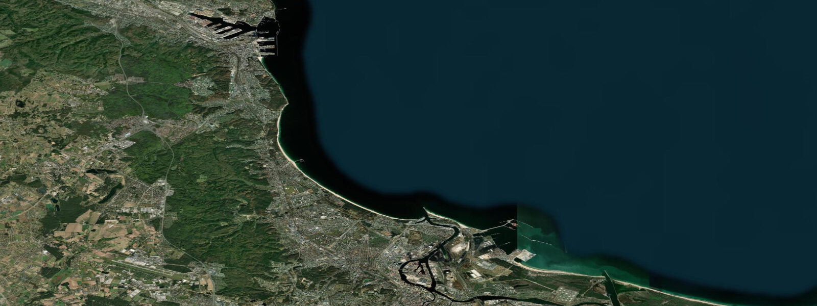
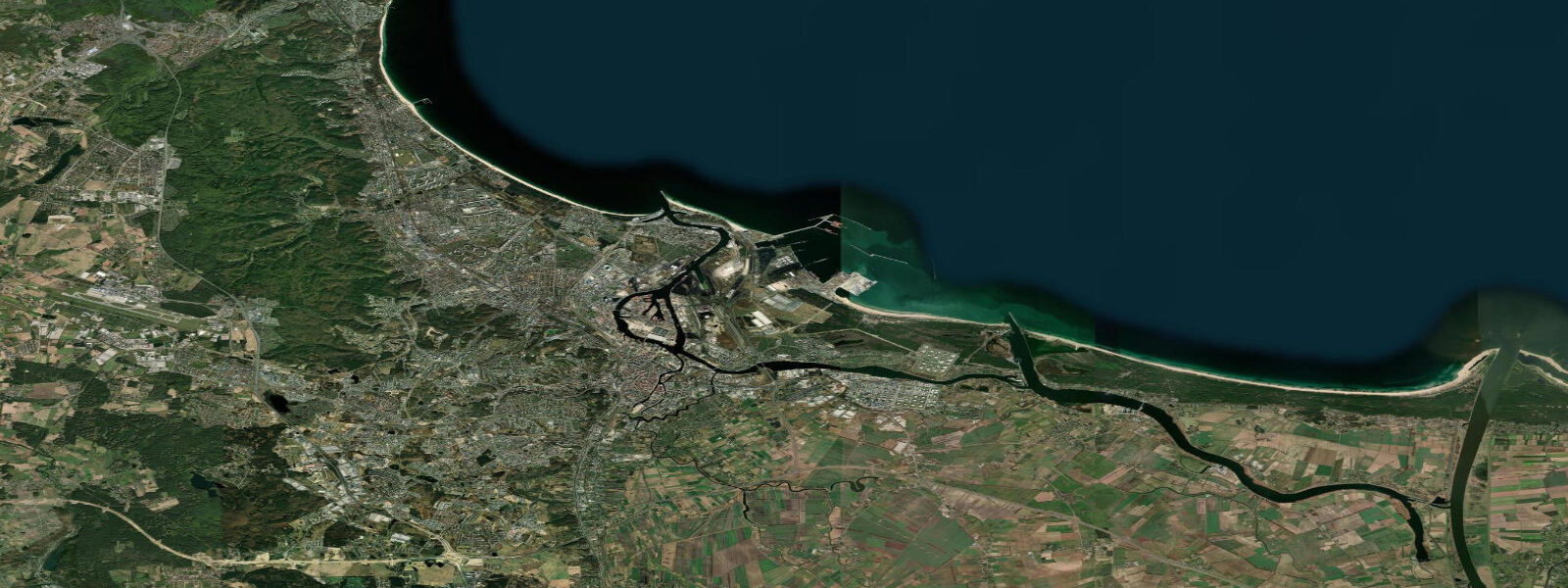
Sopot sits between Gdańsk to the south and Gdynia to the north, the middle element of the Trójmiasto (Tri-City) and the most explicitly resort-focused of the three. The city faces the Gulf of Gdańsk across one of the longest and most-visited stretches of sandy beach on the Polish coast, and the 511-metre wooden pier (Molo) that extends from the beach into the Gulf is both the town's defining landmark and the longest wooden pier in Europe. The Molo dates to 1827 in its original form, though the current structure was built in the early 20th century and has been maintained and restored since; it extends far enough into the Gulf that the open sea is visible in three directions from its end, and on clear days the horizon shows nothing but Baltic.
The coastal regime at Sopot is Baltic non-tidal. Astronomical tidal range is approximately 0.1 metres. Sea level in the Gulf of Gdańsk responds to wind and atmospheric pressure rather than to any tidal cycle. The Gulf's partially enclosed geometry — it is the inner bay within the broader southern Baltic, sheltered to the north by the Hel Peninsula — means Sopot is somewhat protected from the most extreme surge conditions that affect the open Pomeranian coast further west, but sustained westerly and northwesterly Baltic storms can still raise the waterline by 0.4 to 0.8 metres above mean. On those days, the Molo deck sits noticeably closer to the water surface than normal; on low-water easterly days, a slightly wider strip of beach is exposed below the promenade.
The Grand Hotel on the seafront, built in 1927 in an eclectic neoclassical style, has been the social centrepiece of Sopot since its opening and remains the most prominent building on the waterfront. The Crooked House (Krzywy Domek) on Monte Cassino street — a 2004 building whose undulating exterior curves in apparently impossible directions — has become one of the most photographed buildings in Poland since opening, drawing more visitors to Monte Cassino street than any previous tenant of the site. Monte Cassino street itself runs from the main train station to the beach promenade and is the commercial spine of the resort: cafes, restaurants, shops, and the casino that has operated in various forms here since the interwar period.
The beach at Sopot extends both north and south from the Molo, backed by a promenade that runs the full length of the seafront. The sand is fine and pale, the slope gentle, and the Gulf of Gdańsk's enclosed geometry means wave height in normal summer conditions is modest — 0.1 to 0.5 metres on most summer days, rising to 0.5 to 1.5 metres in Baltic wind events. The water temperature in July and August reaches 18 to 23 degrees Celsius in warm summers; the shallow Gulf shelf heats faster than the open Baltic, and in calm sustained heat periods the surface water can reach 24 to 25 degrees Celsius in the Sopot nearshore zone.
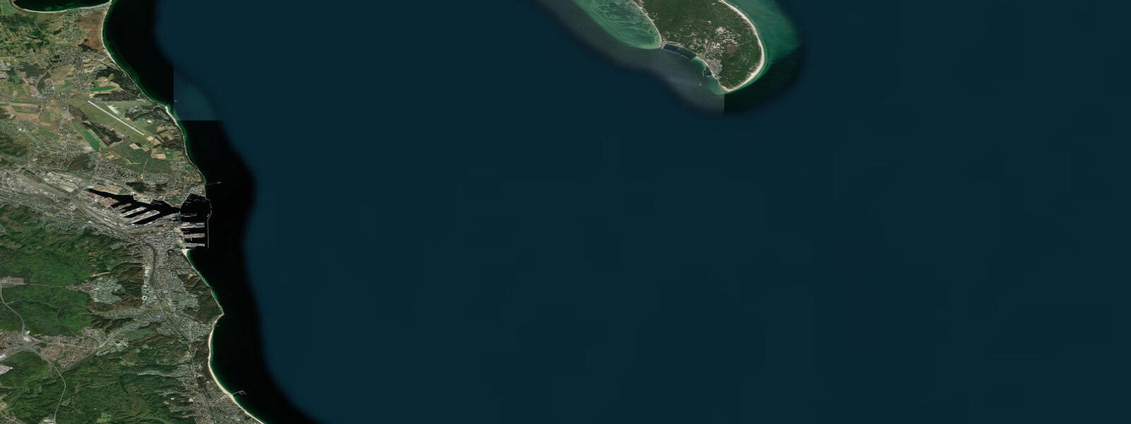
The Hel Peninsula — a 35-kilometre sandspit extending northeast from the Tri-City coast — provides the outer breakwater that partly shelters the Gulf of Gdańsk. Hydrofoil and ferry services run to Hel town at the peninsula's tip from Sopot and Gdańsk in the summer season, a 90-minute crossing to a narrowing strip of sand a few hundred metres wide at its narrowest. The peninsula's beaches on the Gulf side are calmer than the open Baltic side; both are accessible by road on the single highway that runs the peninsula's length.
The Open'er Festival, held annually in late June or early July at the Gdynia Kosakowo airfield a few kilometres north of Sopot, is one of the largest outdoor music festivals in Poland, drawing 30,000 to 40,000 attendees over four days and typically featuring internationally significant headliners. The combination of the festival and the Hankoregatta (in nearby Hanko, Finland, the same week) means the Gulf of Gdańsk coastline in late June is among the most visited stretches of Baltic coast in summer.
Sea-level predictions on this page come from Open-Meteo Marine, a global gridded ocean model, typically accurate to within plus or minus 45 minutes and 0.2 to 0.3 metres. At Sopot, where the astronomical range is approximately 0.1 metres, these predictions provide indicative context rather than operational guidance. For actual sea-level conditions, IMGW-PIB coastal forecasts and gauge data at imgw.pl are the operative source.
Tide questions about Sopot
Quick answers to the most common questions about tide times, range, and water access at Sopot.
How long is the Sopot pier (Molo) and can I walk to the end?
The Sopot Molo is 511 metres long — the longest wooden pier in Europe. It is open to the public year-round (an admission fee applies during the main summer season, typically May through September; free in winter). Walking to the end takes approximately 10 minutes at a relaxed pace. The view from the pier end is open water in three directions; on clear days the Hel Peninsula is visible to the northeast. Benches along the pier allow sitting and watching the Baltic. The pier has been on this site since 1827, though the current wooden structure was built in the early 20th century.
Does Sopot have a real tide to plan around?
No. The astronomical tidal range at Sopot is approximately 0.1 metres — Baltic physics eliminate any meaningful tide. Sea level responds to wind and atmospheric pressure rather than the moon. The Gulf of Gdańsk's partial enclosure by the Hel Peninsula gives Sopot some shelter from extreme Baltic surge conditions, but sustained westerly storms can still raise the waterline by 0.4 to 0.8 metres above mean. IMGW-PIB publishes coastal sea-level forecasts and storm-surge warnings at imgw.pl.
When is the best time to swim at Sopot beach?
The main swim season runs from late June through August, when the Gulf of Gdańsk water temperature reaches 18 to 23 degrees Celsius and occasionally higher in calm sustained heat. Sopot's beach is suitable for most swimmers: gentle slope, modest wave height on most summer days, and no tidal current. The main variable is wind state — northwesterly Baltic weather events can raise wave height to 0.5 to 1.5 metres and make swimming uncomfortable. Calm southwesterly mornings in July and August are typically the best swimming conditions. The beach is lifeguarded during the main summer season.
How do I get to Hel Peninsula from Sopot?
Hydrofoil and seasonal passenger ferry services run from Sopot (and Gdańsk) to Hel town at the peninsula's tip during the summer season, typically late May through early September. The crossing from Sopot takes approximately 90 minutes; services run multiple times daily in high season. The peninsula is also accessible by road from Gdańsk on Route 216, a 100-kilometre drive to Hel town via the single highway running the peninsula's length. The Gulf-facing beach on the inner side of the Hel Peninsula is calmer than the open Baltic side; both sides are accessible by bus from Hel town or from stops along the highway.
Is this sea-level information safe to use for navigation or water sports at Sopot?
No. Open-Meteo Marine gridded predictions are not suitable for navigation in the Gulf of Gdańsk or as sea-level planning data for water sports. For navigation, use Polish Hydrographic Office (Biuro Hydrograficzne MW) charts and consult the Port of Gdańsk VTS (VHF channel 12) for the approach to the Tri-City harbour areas. For swimmers, paddlers, and beach visitors, the relevant safety information is the IMGW-PIB weather and sea-state forecast at imgw.pl — wind speed, wave height, and any storm-surge warning are what determine conditions at Sopot beach, not a tide table.
3-day tide table — Sopot
Heights relative to MSL. Predictions: Open-Meteo Marine (MeteoFrance SMOC, 0.08° grid) — heights relative to MSL (not chart datum / LAT). Model-derived.
| Day | Type | Time | Height |
|---|---|---|---|
| Sun 21 Jun | Low | 02:00 | -0.2m |
| High | 18:00 | -0.1m | |
| Mon 22 Jun | Low | 00:00 | -0.2m |
| Tue 23 Jun | High | 10:00 | -0.1m |
| Low | 15:00 | -0.1m | |
| High | 20:00 | -0.1m |