Mielno tide times
Mielno tide forecast — heights relative to MSL.
Today's tide times for Mielno
Tide times at Mielno on Saturday, 4 July 2026: first high tide at 05:45am, first low tide at 11:00pm. Sunrise 04:27am, sunset 09:31pm.
Tide chart for Mielno
24-hour cosine-interpolated curve around the present moment. Heights relative to MSL. Predictions: Predictions: Open-Meteo Marine (MeteoFrance SMOC, 0.08° grid).
Sun, moon and conditions on Sat 04 Jul
Snapshot at build time — refreshes daily. Sea state from Open-Meteo Marine.
Highs and lows next 7 days
Every predicted high and low for the next week, with the daily tidal coefficient (0–120; higher = bigger swing, > 95 means stronger currents).
Other spots nearby
The three closest curated TideTurtle locations to Mielno, measured by great-circle distance.
Today's solunar windows
Solunar tradition: major periods are the ≈3h windows around moon transit and opposition; minor are ≈2h around moonrise and moonset. Pair with the local tide stage and wind for the best read.
About tides at Mielno
A short guide to the coastline at Mielno — geography, sea state, and what the tide is actually doing under your feet.
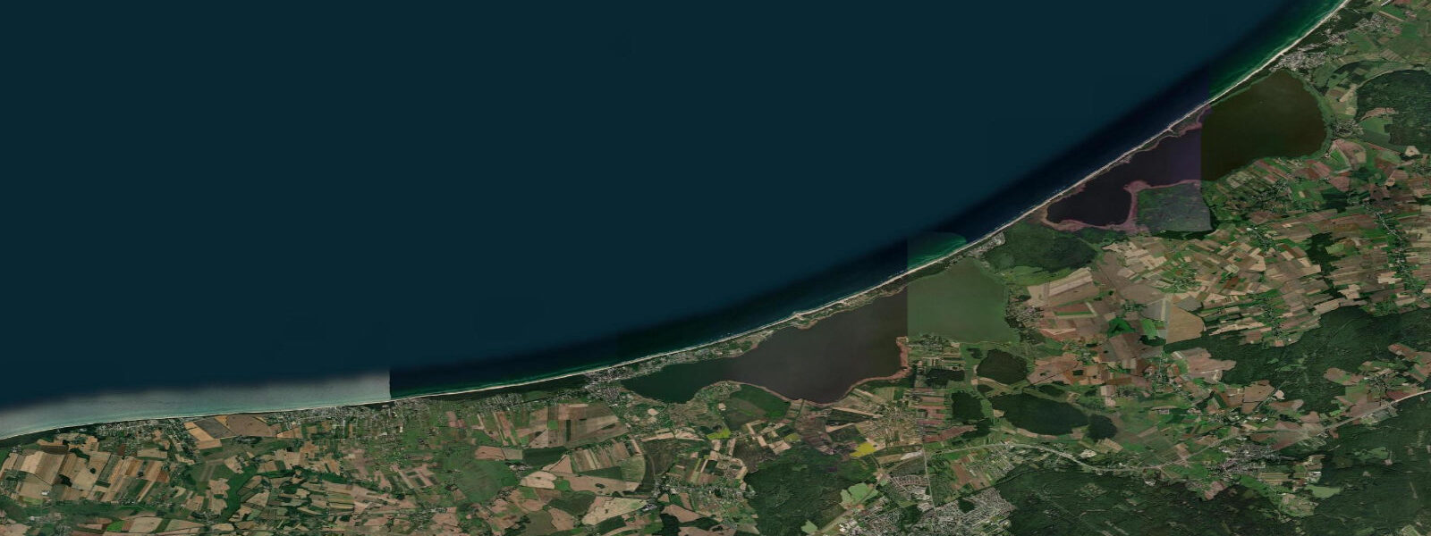
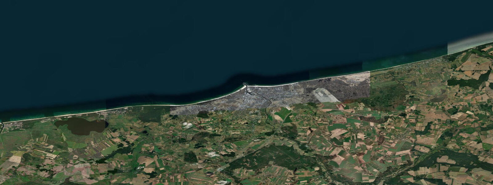
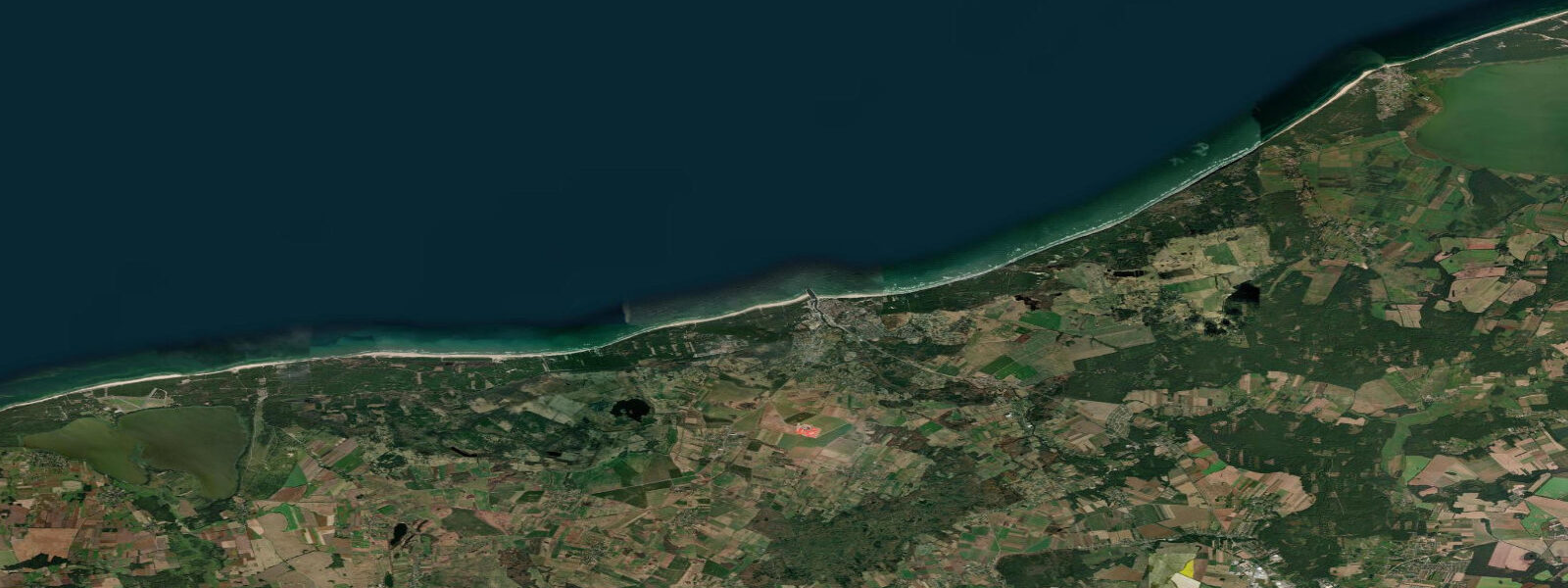
Mielno is one of the most geographically unusual resorts on the Polish coast: a narrow sand spit separating the Baltic Sea from Lake Jamno, a freshwater lake that was a Baltic bay until coastal sediment transport closed the connection sometime in the past millennium. At the narrowest point between the two water bodies the spit is barely 50 m wide — 50 m of sand and dune separating an open Baltic beach from a calm, warm, freshwater lake. The combination is the attraction: the Baltic side for those who want waves, wind, and the open sea; the Jamno lake side for those who want safe flat-water swimming, kayaking, and children's paddling in water that heats to 24 to 25°C in summer without the salt and the swell.
The northern Baltic beach at Mielno is exposed — facing northwest into the open Baltic fetch with no offshore barrier — and the wave regime in a westerly blow is genuine. The beach profile here is steeper than at more sheltered coves and the sand has a coarser fraction reflecting the higher wave energy. Sandcastle-friendly conditions occur on calmer days; surfing and kite-surfing are possible in stronger onshore winds from the northwest, though the break quality is inconsistent without a defined point or reef. The beach is wide at low water and narrows at high; the 0.3 to 0.5 m tidal range moves the waterline roughly 10 to 20 m across the beach gradient.
The southern lake side (Jezioro Jamno) is sheltered from all sea swell and the water is considerably warmer than the Baltic north face. Rental boats, kayaks, and paddleboards are available on the lake; the reed-edged southern shore is quieter than the lakeside promenade and holds waterbird populations including reed warbler and great crested grebe. The lake connects to the Dzierżęcinka River at its eastern end, which runs through Koszalin 10 km inland.
Active coastal erosion is visible on the northern beach at Mielno. The sand that forms the spit is in continuous transport eastward under the longshore current; without the groynes and revetments that attempt to hold the beach, the spit would be narrowing rapidly. The erosion rate on the unprotected sections — visible as low-cliff cut-backs in the dune face — is 1 to 2 m per year in exposed sections. This is the fundamental tension of the Mielno landscape: a popular resort built on a geologically temporary landform actively trying to change.
The Baltic tidal regime at Mielno is semidiurnal with a spring range of 0.3 to 0.5 m. Wind-driven water-level changes are the dominant coastal planning input for the Baltic beach; lake level on the Jamno side is set by the Dzierżęcinka inflow and rainfall rather than by tide or sea surge. Predictions on this page come from Open-Meteo Marine gridded model. IMGW-PIB publishes the authoritative tide tables for the Polish Baltic coast.
Tide questions about Mielno
Quick answers to the most common questions about tide times, range, and water access at Mielno.
When is the next high tide at Mielno?
The hero block at the top of this page shows the next predicted high at Mielno in local Central European Time (CET/CEST, UTC+1/UTC+2). Mielno's northern Baltic beach has a spring range of 0.3 to 0.5 m. The southern lake side (Lake Jamno) is not tidal at all — its level is set by river inflow and rainfall. For actual Baltic beach water-level conditions, wind direction and strength are the relevant inputs; IMGW-PIB publishes the authoritative tide data for the Polish Baltic coast.
What is the tidal range at Mielno?
On the Baltic north side: mean spring range 0.3 to 0.5 m. Neap range 0.1 to 0.2 m. Wind surge in autumn and winter adds 0.5 to 1.0 m. On the Lake Jamno south side: no tidal influence. The lake level is controlled by the Dzierżęcinka River inflow and seasonal rainfall, not by the sea. At the narrowest point of the spit — 50 m — the Baltic beach and the lake shoreline experience completely different water conditions simultaneously.
Where do these tide predictions come from?
Open-Meteo Marine, a free gridded global ocean model. The predictions apply to the Baltic Sea north face at Mielno. Lake Jamno is not covered — its level is a freshwater hydrology question, not a tidal one. For the Baltic coast, IMGW-PIB publishes harmonic tide tables and storm-surge warnings. The model's typical accuracy (plus or minus 45 minutes, 0.2 to 0.3 m) is a significant fraction of Mielno's spring range.
Is Mielno suitable for families with young children?
Mielno offers two distinct swimming environments for families. The Baltic north beach is suitable for older children and adults who can handle moderate swell and stronger currents in onshore wind conditions; the steep beach gradient means the water deepens faster than at more sheltered locations. Lake Jamno on the south side is the safer children's environment: flat, warm (24 to 25°C in peak summer), freshwater, and sheltered from all wave action. Rental kayaks and paddleboards are available on the lake. The 50 m walk between the two water bodies is the most unusual feature of Mielno as a family beach destination.
Is this safe to use for navigation?
No. TideTurtle is a planning tool for recreational coastal activity, not a navigation resource. The Baltic coast at Mielno is open water with no harbour; beach launches are possible for small craft in calm conditions. The Polish Hydrographic Office (Biuro Hydrograficzne Marynarki Wojennej) publishes charts for Polish Baltic waters. Open-Meteo Marine gridded predictions do not replace authoritative navigation sources.
8-day tide table — Mielno
Heights relative to MSL. Predictions: Open-Meteo Marine (MeteoFrance SMOC, 0.08° grid) — heights relative to MSL (not chart datum / LAT). Model-derived.
| Day | Type | Time | Height |
|---|---|---|---|
| Sat 04 Jul | High | 05:45 | 0.2m |
| Low | 23:00 | 0.1m | |
| Sun 05 Jul | High | 15:00 | 0.2m |
| Mon 06 Jul | Low | 22:00 | 0.1m |
| Tue 07 Jul | — | ||
| Wed 08 Jul | High | 18:00 | 0.1m |
| Thu 09 Jul | — | ||
| Fri 10 Jul | — | ||
| Sat 11 Jul | Low | 01:00 | -0.1m |