Kołobrzeg tide times
Kołobrzeg tide forecast — heights relative to MSL.
Today's tide times for Kołobrzeg
Tide times at Kołobrzeg on Sunday, 21 June 2026: first low tide at 02:00am. Sunrise 04:23am, sunset 09:34pm.
Tide chart for Kołobrzeg
24-hour cosine-interpolated curve around the present moment. Heights relative to MSL. Predictions: Predictions: Open-Meteo Marine (MeteoFrance SMOC, 0.08° grid).
Sun, moon and conditions on Sun 21 Jun
Snapshot at build time — refreshes daily. Sea state from Open-Meteo Marine.
Highs and lows next 7 days
Every predicted high and low for the next week, with the daily tidal coefficient (0–120; higher = bigger swing, > 95 means stronger currents).
Other spots nearby
The three closest curated TideTurtle locations to Kołobrzeg, measured by great-circle distance.
Today's solunar windows
Solunar tradition: major periods are the ≈3h windows around moon transit and opposition; minor are ≈2h around moonrise and moonset. Pair with the local tide stage and wind for the best read.
About tides at Kołobrzeg
A short guide to the coastline at Kołobrzeg — geography, sea state, and what the tide is actually doing under your feet.
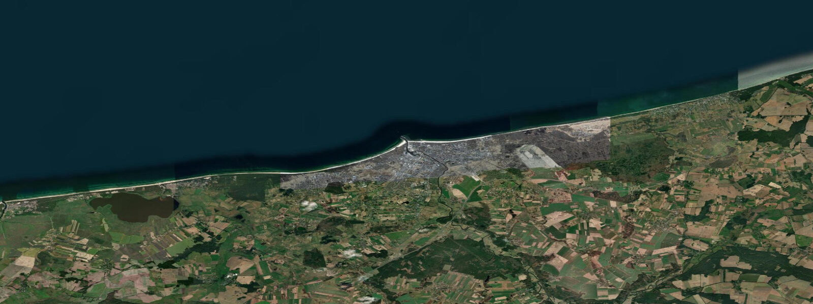
Kołobrzeg stands at the mouth of the Parsęta River on Poland's central Baltic coast, roughly midway between the German border and Gdańsk. The town has been a significant place on this coast since the early medieval period — the first Kołobrzeg bishopric was established here in 1000 AD as part of the Christianisation of Poland under Bolesław I Chrobry. The lighthouse at the harbour mouth, the long sandy beach stretching east and west of the river entrance, and the naval war memorial on the seafront mark a coast that has been continuously inhabited for a thousand years.
The coastal regime at Kołobrzeg is Baltic non-tidal. Astronomical tidal range is approximately 0.1 metres. The central Baltic coast is more directly exposed to the open Baltic Sea than the Gulf of Gdańsk further east, and Kołobrzeg receives the full westerly and northwesterly fetch across the southern Baltic without the shelter of a peninsula or enclosed embayment. Wind-driven sea-level setup at Kołobrzeg during major Baltic storms can reach 0.6 to 1.0 metres above mean, occasionally exceeding those values in sustained multi-day events. The Parsęta River mouth is affected by these surge conditions: high surge can back water up the river's lower reaches, reducing flow capacity and occasionally affecting low-lying areas near the river channel. IMGW-PIB (Instytut Meteorologii i Gospodarki Wodnej) operates the coastal gauge at Kołobrzeg and issues storm-surge warnings at imgw.pl.
Kołobrzeg is Poland's most significant marine spa town, a tradition built on the brine springs that underlie the coastal area. The therapeutic use of the local brine goes back to the 19th century; the town's Uzdrowisko Kołobrzeg (health resort complex) is among the largest medical spa operations on the Baltic coast, drawing tens of thousands of visitors annually for extended brine-bath and inhalation treatments prescribed for respiratory and circulatory conditions. The coastal promenade connecting the spa district to the beach is the town's social axis in summer, running several kilometres between the lighthouse and the eastern beach districts.
The Kołobrzeg lighthouse (Latarnia Morska) stands at the western harbour breakwater entrance, a cylindrical red-brick tower 26 metres tall built in 1909 on the foundations of earlier structures. The lighthouse is operational and open to visitors with a climb of 110 steps to the lantern room; the view from the top gives a clear perspective on the Parsęta's river mouth, the harbour basin, and the open Baltic to the north. The harbour itself handles small fishing vessels, the charter and tourist fishing fleet, and a seasonal ferry service to Bornholm (Denmark) and Swedish ports.
Naval history is prominent on the Kołobrzeg seafront. The Defence of Kołobrzeg memorial on the waterfront promenade commemorates the March 1945 battle in which Soviet and Polish forces took the city from the German Wehrmacht; Polish Army soldiers marched to the sea and conducted a symbolic wedding of Poland with the Baltic at the beach, a ceremony that appeared in newsreel footage and became an emblematic image of post-war Poland's territorial claims to the coast. The town was substantially destroyed in the battle and subsequently rebuilt in the post-war period.
Sea fishing is a significant activity at Kołobrzeg. The harbour's charter fleet targets cod, flounder, and sea trout in the open Baltic, with cod the primary commercial and sport target from October through February. Shore anglers fish from the breakwaters and the beach, with sea trout appearing in the river mouth area in autumn when the fish move inshore ahead of the upriver spawning run. The Parsęta is one of the Polish rivers with documented sea trout runs; the lower stretch of the river in autumn, when water temperature drops below 12 degrees Celsius, can be productive for shore anglers.
For beach visitors, Kołobrzeg's main beach runs east of the lighthouse and the river mouth for several kilometres. The sand is fine, the slope gentle, and the Baltic water temperature in July and August reaches 17 to 21 degrees Celsius in normal summers, occasionally higher in warm spells. The beach faces north across the open Baltic and receives any northerly wind-wave directly; southerly and easterly weather produces flat water and the best swimming conditions. No tidal variation to plan around — conditions are entirely wind and weather-dependent.
Sea-level predictions on this page come from Open-Meteo Marine, a global gridded ocean model, typically accurate to within plus or minus 45 minutes and 0.2 to 0.3 metres. At Kołobrzeg, where the astronomical range is approximately 0.1 metres, the model uncertainty exceeds the signal. For actual sea-level conditions and storm-surge warnings, use IMGW-PIB at imgw.pl.
Tide questions about Kołobrzeg
Quick answers to the most common questions about tide times, range, and water access at Kołobrzeg.
Does Kołobrzeg have a real tide to plan around?
No. The astronomical tidal range at Kołobrzeg is approximately 0.1 metres — Baltic physics eliminate any meaningful tide. Kołobrzeg's central Baltic position, more exposed than the Gulf of Gdańsk, means wind-driven sea-level setup from westerly storms can reach 0.6 to 1.0 metres above mean. IMGW-PIB operates the coastal gauge at Kołobrzeg and publishes storm-surge warnings at imgw.pl — this is the operative planning source for any coastal activity.
What is Kołobrzeg known for as a spa town?
Kołobrzeg's spa tradition is built on the brine springs underlying the coastal area, which have been used therapeutically since the 19th century. The town's Uzdrowisko Kołobrzeg health resort complex operates brine-bath and inhalation treatments used for respiratory, circulatory, and musculoskeletal conditions. The local brine concentration is significantly higher than seawater, and the inhalation facilities near the beach allow visitors to breathe brine aerosol directly from the sea air — a treatment prescribed for chronic lung conditions. Kołobrzeg is one of the largest spa destinations on the Baltic coast of Central Europe.
Can I visit the Kołobrzeg lighthouse?
Yes. The Kołobrzeg lighthouse (Latarnia Morska Kołobrzeg) at the western harbour breakwater entrance is open to visitors. The 1909 red-brick tower is 26 metres tall; 110 steps lead to the lantern room with views over the harbour mouth, the Parsęta River, and the open Baltic. Admission is charged; opening hours vary by season, with extended hours in summer. The lighthouse is operational — it guides vessels entering and leaving the harbour — and the lantern itself is not accessible, but the enclosed gallery below the lantern gives a 360-degree view.
When is sea trout fishing good near Kołobrzeg?
Sea trout at Kołobrzeg are best in autumn — late September through November — when water temperature in the Parsęta River mouth drops below 12 degrees Celsius and fish move inshore ahead of their upriver spawning migration. Shore anglers work the river mouth area and the beach with spinning tackle; spoons and streamers are the standard presentations. The harbour breakwaters also produce fish in autumn. The open Baltic cod fishery from the charter fleet runs October through February; Kołobrzeg's fishing charter operators advertise cod trips in those months. Check IMGW-PIB weather forecasts before any offshore session — Baltic weather in autumn and winter changes quickly.
Is this sea-level information safe to use for navigation into Kołobrzeg Harbour?
No. Open-Meteo Marine gridded predictions are not a substitute for official nautical charts or IMGW-PIB sea-level data for harbour navigation. The Kołobrzeg harbour entrance between the breakwaters is subject to the full Baltic swell on northerly wind events; approach conditions can deteriorate rapidly in strong onshore weather. Use Polish Hydrographic Office (Biuro Hydrograficzne MW) charts for the approach, monitor IMGW-PIB coastal forecasts for storm-surge conditions, and contact the Kołobrzeg harbour authority before entering in any northerly swell. The harbour is also used by the ferry service to Bornholm and Swedish ports — commercial vessel traffic uses the main channel.
8-day tide table — Kołobrzeg
Heights relative to MSL. Predictions: Open-Meteo Marine (MeteoFrance SMOC, 0.08° grid) — heights relative to MSL (not chart datum / LAT). Model-derived.
| Day | Type | Time | Height |
|---|---|---|---|
| Sun 21 Jun | Low | 02:00 | -0.2m |
| Mon 22 Jun | — | ||
| Tue 23 Jun | High | 08:00 | -0.1m |
| Wed 24 Jun | — | ||
| Thu 25 Jun | Low | 02:00 | -0.2m |
| High | 14:00 | -0.0m | |
| Fri 26 Jun | — | ||
| Sat 27 Jun | — | ||
| Sun 28 Jun | Low | 01:00 | -0.3m |